Elevation of Silvassa, Dadra and Nagar Haveli, India
Location: India > Dadra And Nagar Haveli > Dadra And Nagar Haveli >
Longitude: 73.0083061
Latitude: 20.2762659
Elevation: 45m / 148feet
Barometric Pressure: 0KPa
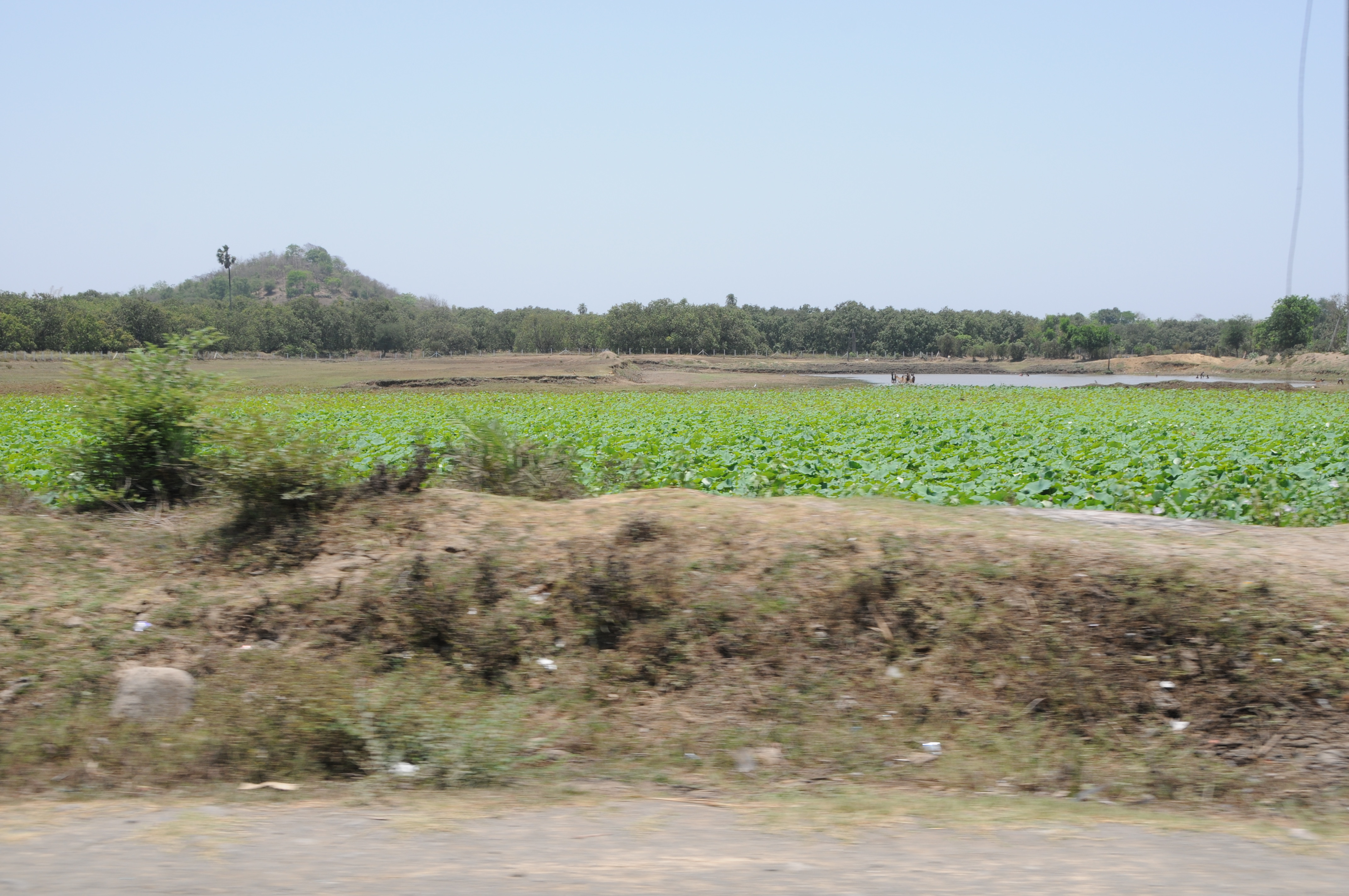
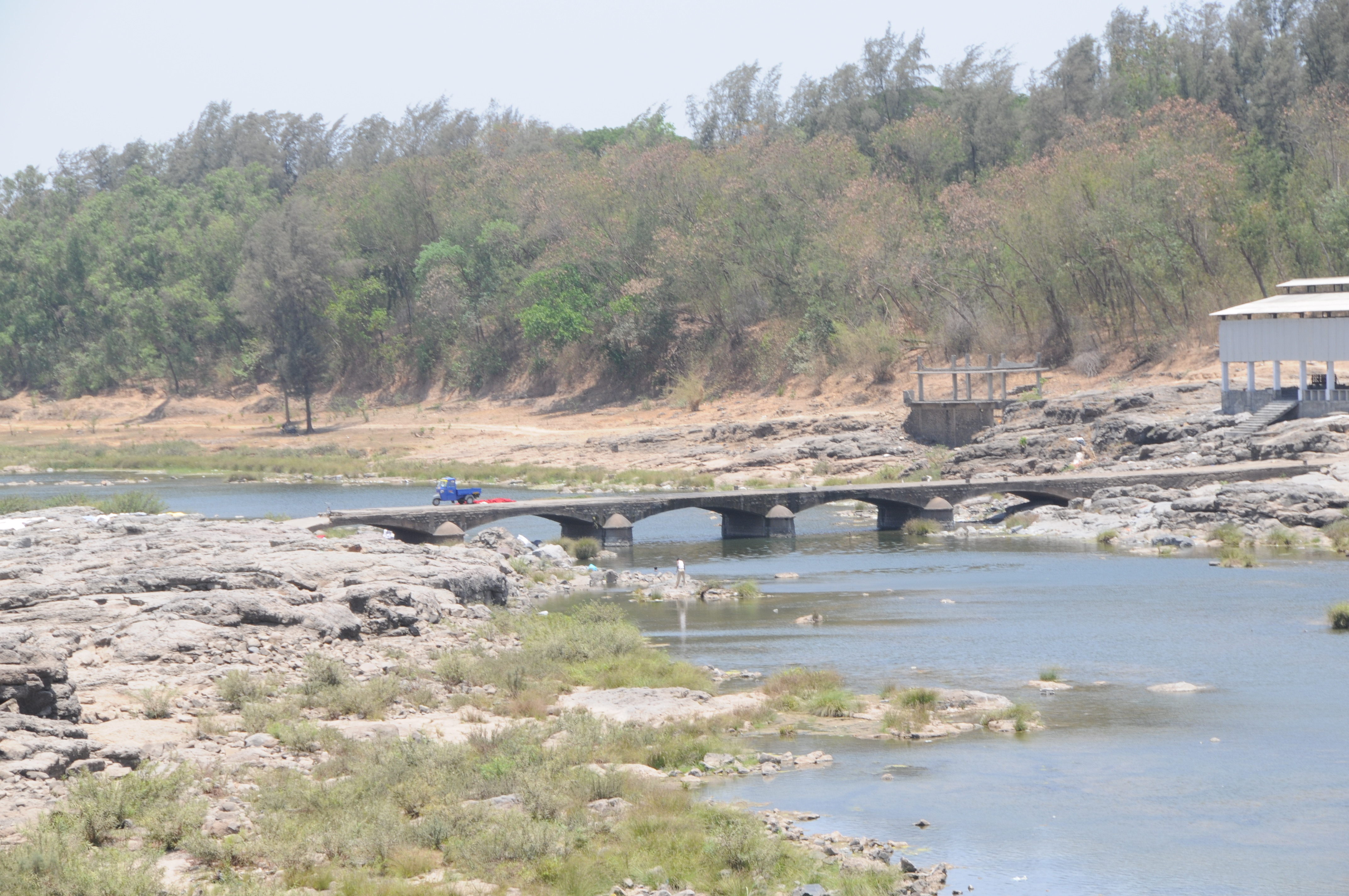
Related Photos:
CSP_6474.JPG

CSP_6472.JPG
CSP_6478.JPG
CSP_6477.JPG

CSP_6492.JPG

CSP_6500.JPG
CSP_6476.JPG

CSP_6489.JPG
CSP_6486.JPG
CSP_6495.JPG
CSP_6480.JPG
CSP_6473.JPG
CSP_6504.JPG

CSP_6459.JPG
CSP_6505.JPG
CSP_6508.JPG
CSP_6507.JPG

CSP_6470.JPG

CSP_6494.JPG
CSP_6467.JPG

CSP_6469.JPG
Bhilad by me
CSP_6499.JPG
CSP_6490.JPG
CSP_6466.JPG
CSP_6485.JPG
Topographic Map of Silvassa, Dadra and Nagar Haveli, India
Find elevation by address:

Places in Silvassa, Dadra and Nagar Haveli, India:
Places near Silvassa, Dadra and Nagar Haveli, India:
Amli Ind. Estate
Hirwa Van Garden
Dadra And Nagar Haveli
Dadra
Dadra And Nagar Haveli
Velugam
Sutarpada
Daman
Ddutcps
Daman
Daman And Diu
Killa-pardi
Dolhari Bk.
Matgaon
Zp School Bahirampada, Vikramgadh, Palghar
Bilimora
Nandore
Neela Apartment
Ayodhya Nagar
Dhirubhai Wadi
Recent Searches:
- Elevation map of Greenland, Greenland
- Elevation of Sullivan Hill, New York, New York, 10002, USA
- Elevation of Morehead Road, Withrow Downs, Charlotte, Mecklenburg County, North Carolina, 28262, USA
- Elevation of 2800, Morehead Road, Withrow Downs, Charlotte, Mecklenburg County, North Carolina, 28262, USA
- Elevation of Yangbi Yi Autonomous County, Yunnan, China
- Elevation of Pingpo, Yangbi Yi Autonomous County, Yunnan, China
- Elevation of Mount Malong, Pingpo, Yangbi Yi Autonomous County, Yunnan, China
- Elevation map of Yongping County, Yunnan, China
- Elevation of North 8th Street, Palatka, Putnam County, Florida, 32177, USA
- Elevation of 107, Big Apple Road, East Palatka, Putnam County, Florida, 32131, USA
- Elevation of Jiezi, Chongzhou City, Sichuan, China
- Elevation of Chongzhou City, Sichuan, China
- Elevation of Huaiyuan, Chongzhou City, Sichuan, China
- Elevation of Qingxia, Chengdu, Sichuan, China
- Elevation of Corso Fratelli Cairoli, 35, Macerata MC, Italy
- Elevation of Tallevast Rd, Sarasota, FL, USA
- Elevation of 4th St E, Sonoma, CA, USA
- Elevation of Black Hollow Rd, Pennsdale, PA, USA
- Elevation of Oakland Ave, Williamsport, PA, USA
- Elevation of Pedrógão Grande, Portugal