Elevation of Matgaon, Maharashtra, India
Location: India > Maharashtra > Thane >
Longitude: 72.7324059
Latitude: 19.9194983
Elevation: 7m / 23feet
Barometric Pressure: 0KPa
Related Photos:

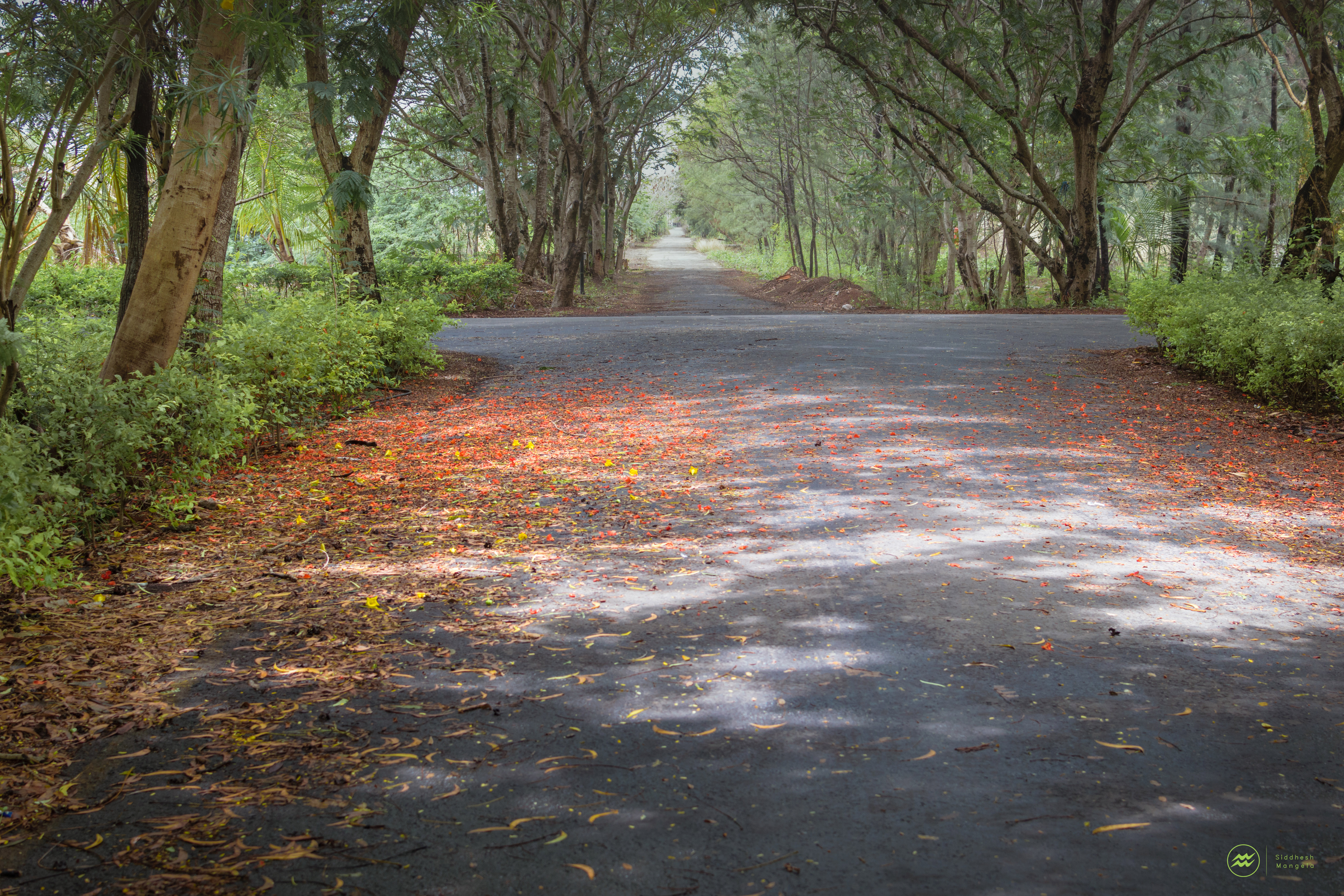
Road to Rock Tower

Fishin' Season

Sun n Sand

Patch The Sun

Captain Fisher (कॅप्तीन फिशर )

Agarpad Beach, Dahanu
a Scenic Carpet

Lost In Peace

Walk-About

Business, Beach !!

Life's A Beach

Where It All began

Outdoor activities #randomclick #eveningwalk #monochrome #snapseed #basketball #neverstopexploring #instadaily #mumbaidiaries #basketballneverstops #sony #experia #Z2 #asian #sunset #landscape #latepost
Topographic Map of Matgaon, Maharashtra, India
Find elevation by address:

Places near Matgaon, Maharashtra, India:
Nandore
Sutarpada
Dolhari Bk.
Zp School Bahirampada, Vikramgadh, Palghar
Velugam
Dadra And Nagar Haveli
Silvassa
Hirwa Van Garden
Amli Ind. Estate
Dadra
Ddutcps
Dadra And Nagar Haveli
Daman
Daman
Daman And Diu
Killa-pardi
Daman And Diu
Bilimora
Neela Apartment
Ayodhya Nagar
Recent Searches:
- Elevation map of Greenland, Greenland
- Elevation of Sullivan Hill, New York, New York, 10002, USA
- Elevation of Morehead Road, Withrow Downs, Charlotte, Mecklenburg County, North Carolina, 28262, USA
- Elevation of 2800, Morehead Road, Withrow Downs, Charlotte, Mecklenburg County, North Carolina, 28262, USA
- Elevation of Yangbi Yi Autonomous County, Yunnan, China
- Elevation of Pingpo, Yangbi Yi Autonomous County, Yunnan, China
- Elevation of Mount Malong, Pingpo, Yangbi Yi Autonomous County, Yunnan, China
- Elevation map of Yongping County, Yunnan, China
- Elevation of North 8th Street, Palatka, Putnam County, Florida, 32177, USA
- Elevation of 107, Big Apple Road, East Palatka, Putnam County, Florida, 32131, USA
- Elevation of Jiezi, Chongzhou City, Sichuan, China
- Elevation of Chongzhou City, Sichuan, China
- Elevation of Huaiyuan, Chongzhou City, Sichuan, China
- Elevation of Qingxia, Chengdu, Sichuan, China
- Elevation of Corso Fratelli Cairoli, 35, Macerata MC, Italy
- Elevation of Tallevast Rd, Sarasota, FL, USA
- Elevation of 4th St E, Sonoma, CA, USA
- Elevation of Black Hollow Rd, Pennsdale, PA, USA
- Elevation of Oakland Ave, Williamsport, PA, USA
- Elevation of Pedrógão Grande, Portugal