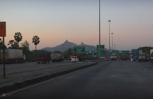
Elevation of Dolhari Bk., Maharashtra, India
Location: India > Maharashtra > Thane >
Longitude: 73.0198654
Latitude: 19.8267468
Elevation: 80m / 262feet
Barometric Pressure: 100KPa
Related Photos:
Topographic Map of Dolhari Bk., Maharashtra, India
Find elevation by address:

Places near Dolhari Bk., Maharashtra, India:
Zp School Bahirampada, Vikramgadh, Palghar
Nandore
Matgaon
Velugam
Sutarpada
Dadra And Nagar Haveli
Silvassa
Dadra And Nagar Haveli
Amli Ind. Estate
Hirwa Van Garden
Dadra
Daman
Ddutcps
Daman
Daman And Diu
Killa-pardi
Bilimora
Neela Apartment
Ayodhya Nagar
Dhirubhai Wadi
Recent Searches:
- Elevation of Corso Fratelli Cairoli, 35, Macerata MC, Italy
- Elevation of Tallevast Rd, Sarasota, FL, USA
- Elevation of 4th St E, Sonoma, CA, USA
- Elevation of Black Hollow Rd, Pennsdale, PA, USA
- Elevation of Oakland Ave, Williamsport, PA, USA
- Elevation of Pedrógão Grande, Portugal
- Elevation of Klee Dr, Martinsburg, WV, USA
- Elevation of Via Roma, Pieranica CR, Italy
- Elevation of Tavkvetili Mountain, Georgia
- Elevation of Hartfords Bluff Cir, Mt Pleasant, SC, USA


