Elevation of Stratton, Eustis, ME, USA
Location: United States > Maine > Franklin County > Eustis >
Longitude: -70.438291
Latitude: 45.1404965
Elevation: 354m / 1161feet
Barometric Pressure: 97KPa
Elevation Map:
Satellite Map:
Related Photos:
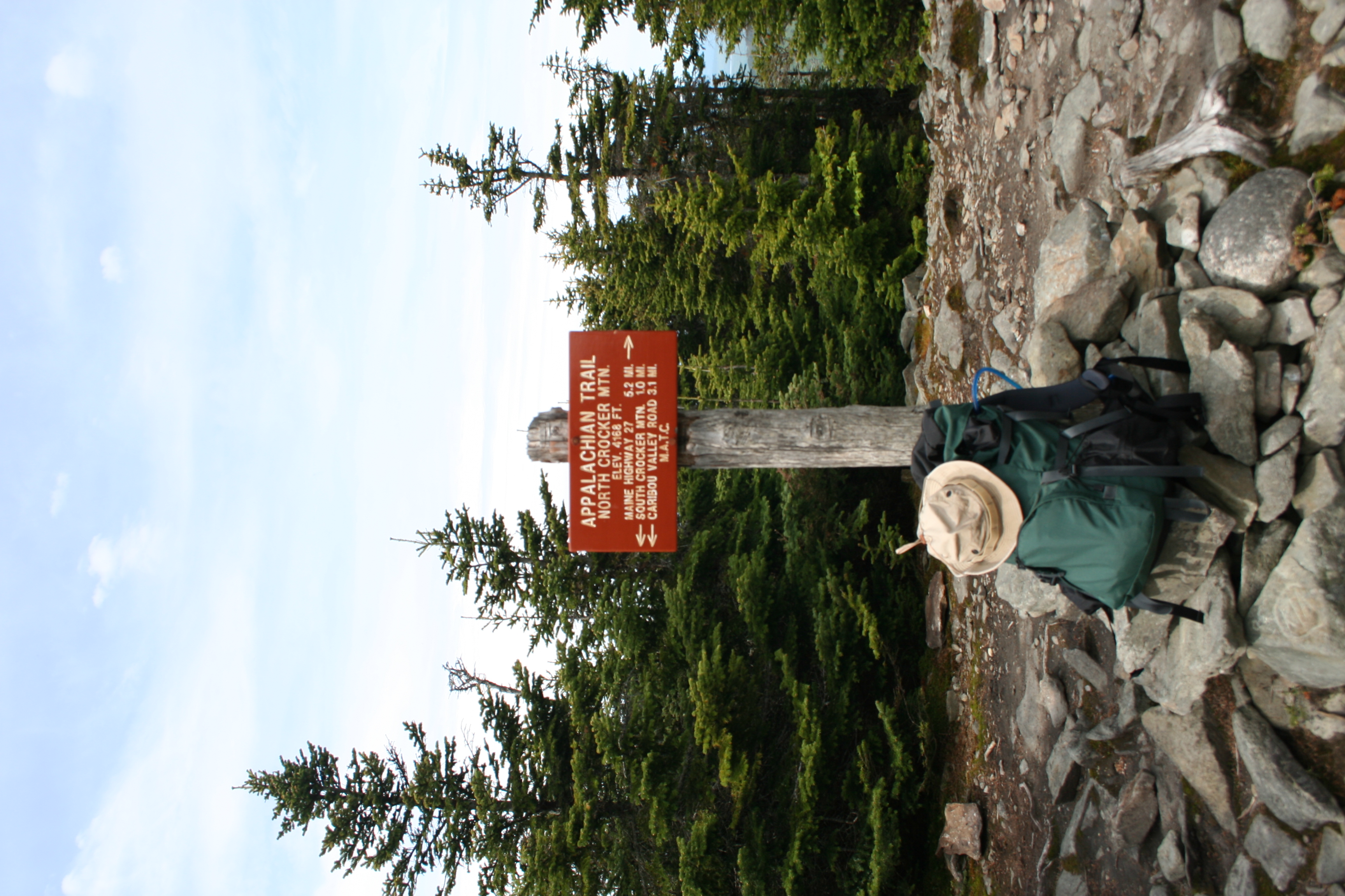
Appalachian Trail 2014

Cat's Eye View of Happiness
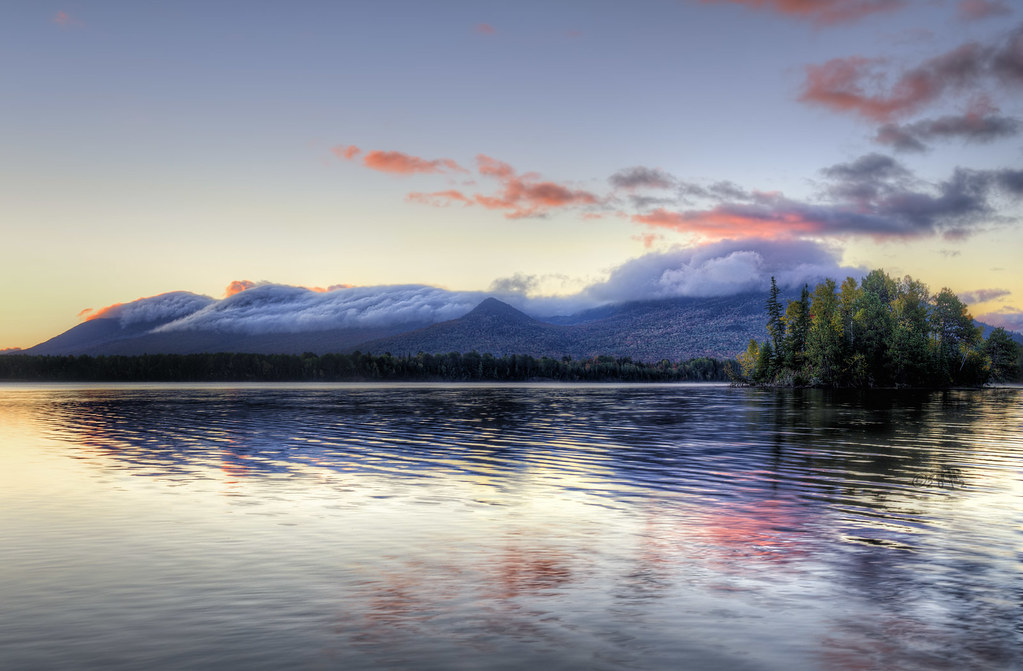
Flagstaff Lake Revisited

Streamside Color

11th Hole, Sugarloaf Golf Club

2nd hole, Sugarloaf Golf Club

Appalachian Trail 2014

Appalachian Trail 2014

Appalachian Trail 2014

Appalachian Trail 2014

Appalachian Trail 2014

Flagstaff Lake and West Peak

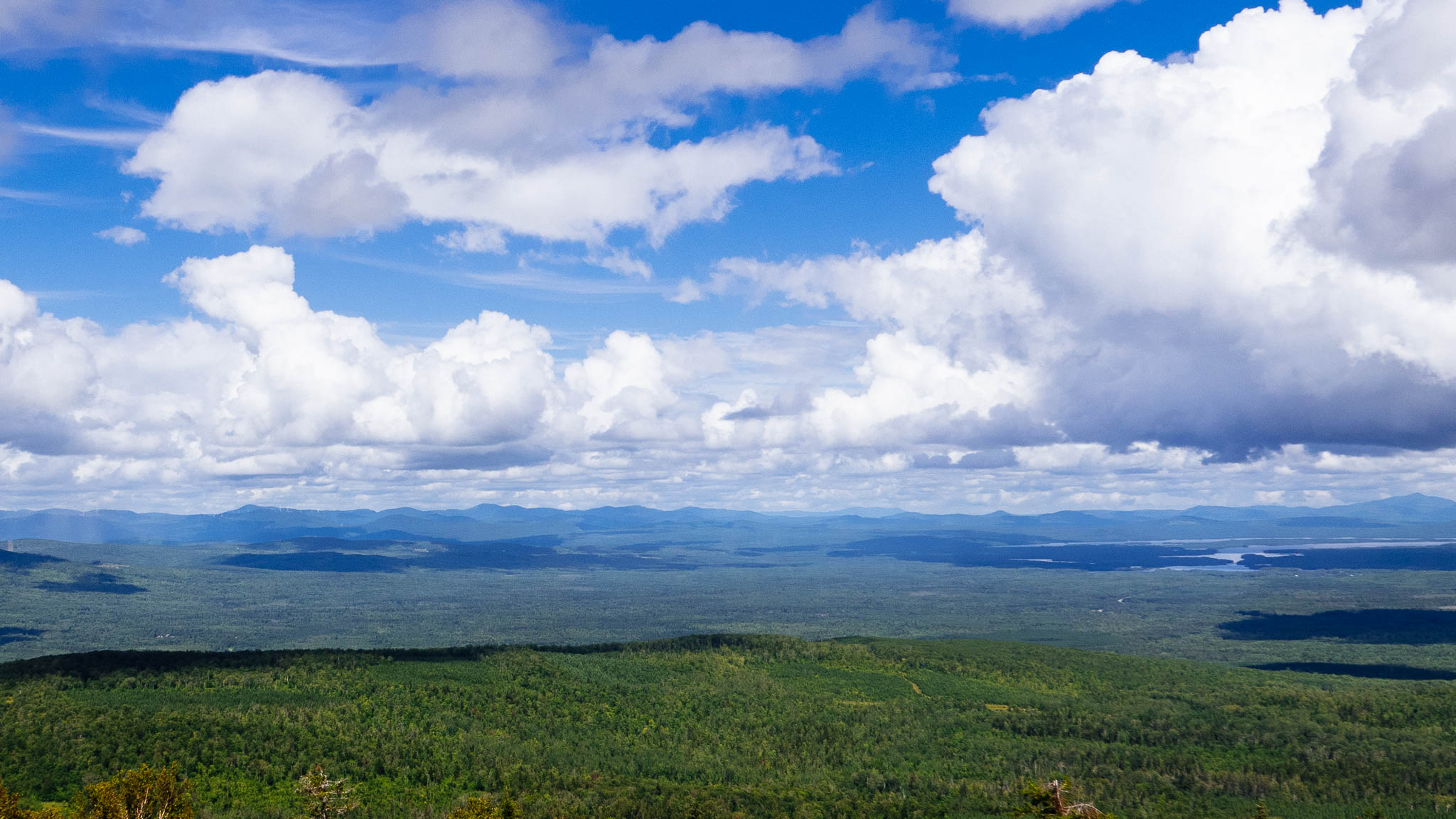
View from the top

Mountain view

20160918 046

20160918 051

Sugarloaf view from the Stratton Brook Hut - Maine Huts and Trails

view from the lodge

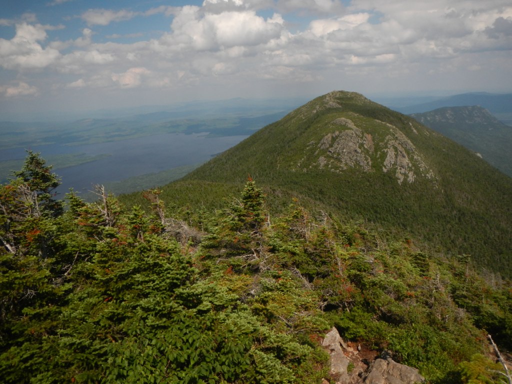
South Crocker 4,050'
Crocker Mtn 4,228'

The view down Ripsaw

Sur la route pour le Parc National d'Acadia,Maine,États-Unis

14th hole, Sugarloaf Golf Club
Quill Hill, Looking North
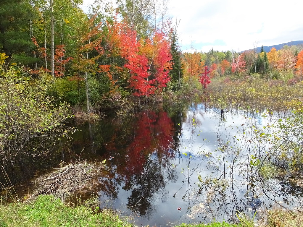
Pond In Carrabassett Valley

Sugarloaf Ski Resort
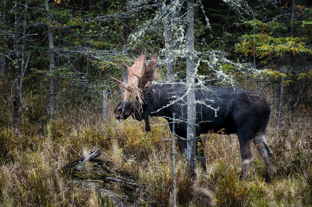
How To Hide If You're A Moose

Hiking Myron Avery Peak on the Appalachian Trail

Hiking Myron Avery Peak on the Appalachian Trail

Appalachian Trail 2014

11th hole Sugarloaf Golf Club

Appalachian Trail 2014

Appalachian Trail 2014
Topographic Map of Stratton, Eustis, ME, USA
Find elevation by address:

Places near Stratton, Eustis, ME, USA:
Eustis
73 Eustis Pkwy
Crocker Mountain
Franklin County
Mount Redington
5092 Access Rd
Sugarloaf Mountain
Northwest Somerset
Cupsuptic Campground
Pleasant Island Road
Saint-augustin-de-woburn
Route Trudel, Frontenac, QC G6B 0A9, Canada
Frontenac
Lower Black Pond
Audet
Abbie Pond
Bosebuck Mountain Camps
Upper Black Pond
Piopolis
Frontenac
Recent Searches:
- Elevation of Corso Fratelli Cairoli, 35, Macerata MC, Italy
- Elevation of Tallevast Rd, Sarasota, FL, USA
- Elevation of 4th St E, Sonoma, CA, USA
- Elevation of Black Hollow Rd, Pennsdale, PA, USA
- Elevation of Oakland Ave, Williamsport, PA, USA
- Elevation of Pedrógão Grande, Portugal
- Elevation of Klee Dr, Martinsburg, WV, USA
- Elevation of Via Roma, Pieranica CR, Italy
- Elevation of Tavkvetili Mountain, Georgia
- Elevation of Hartfords Bluff Cir, Mt Pleasant, SC, USA