Elevation of 73 Eustis Pkwy, Eustis, ME, USA

Location: United States > Maine > Franklin County > Eustis >

Longitude: -70.489935

Latitude: 45.2246114

Elevation: 368m / 1207feet

Barometric Pressure: 97KPa

Elevation Map:

elevation map of 73 Eustis Pkwy, Eustis, ME, USA

Satellite Map:

Satellite map of 73 Eustis Pkwy, Eustis, ME, USA

Related Photos:

blackandwhite lake water landscape boat dock maine happiness calm flagstaff eustis bigelowmountain ericbrisson sakuhabs
Cat's Eye View of Happiness
travel autumn mountain lake reflection fall me water forest sunrise landscape maine newengland foliage hdr highdynamicrange waterscape eustis tonemap flagstafflake sunriseoverflagstafflake
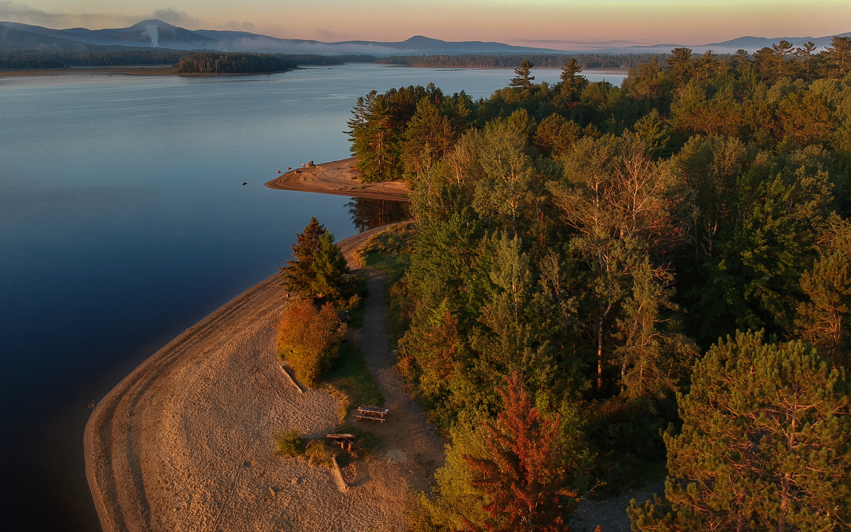
Flagstaff Lake Revisited
appalachiantrail bigelowmountain southhorn maine 2014
Appalachian Trail 2014
appalachiantrail southhorn thehornspond maine 2014
Appalachian Trail 2014
appalachiantrail southhorn maine 2014
Appalachian Trail 2014
pictures new trip travel light usa color fall nature water creek forest river landscape geotagged photography us photo leaf woods stream day image photos fallcolors live maine scenic picture images foliage photograph digitalcamera brook aki exploration leafs mori mizu photooftheday northbranch picoftheday leau deadriver lautomne fugifilm laforêt elotoño elagua daswasser dailynaturetnc12 rong58 elfollaje finepixhs50exr northbranchdeadriver
North Branch Dead River 2
© nature clouds eau exterior maine ciel tamron extérieur 2015 étatsunis lesdix michelguérin clubdesdix tamron150600mm tousdroitsréservésallrightsreserved nikond750 lightoomcc activitédautomne
Sur la route pour le Parc National d'Acadia,Maine,États-Unis
travel autumn fall me forest landscape woods wildlife maine newengland moose bullmoose eustis flagstafflake howtohide
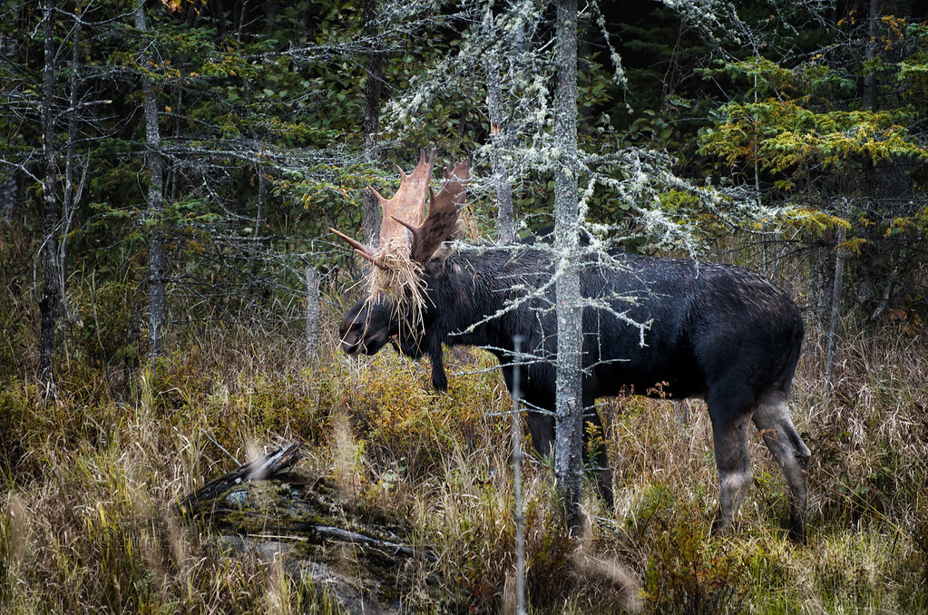
How To Hide If You're A Moose
pictures new trip travel light usa color fall nature water creek forest river landscape geotagged photography us photo leaf woods stream day image photos fallcolors live maine scenic picture images foliage photograph digitalcamera brook aki exploration leafs mori mizu photooftheday northbranch picoftheday eustis leau deadriver lautomne fugifilm laforêt elotoño elagua daswasser dailynaturetnc12 rong58 elfollaje finepixhs50exr northbranchdeadriver
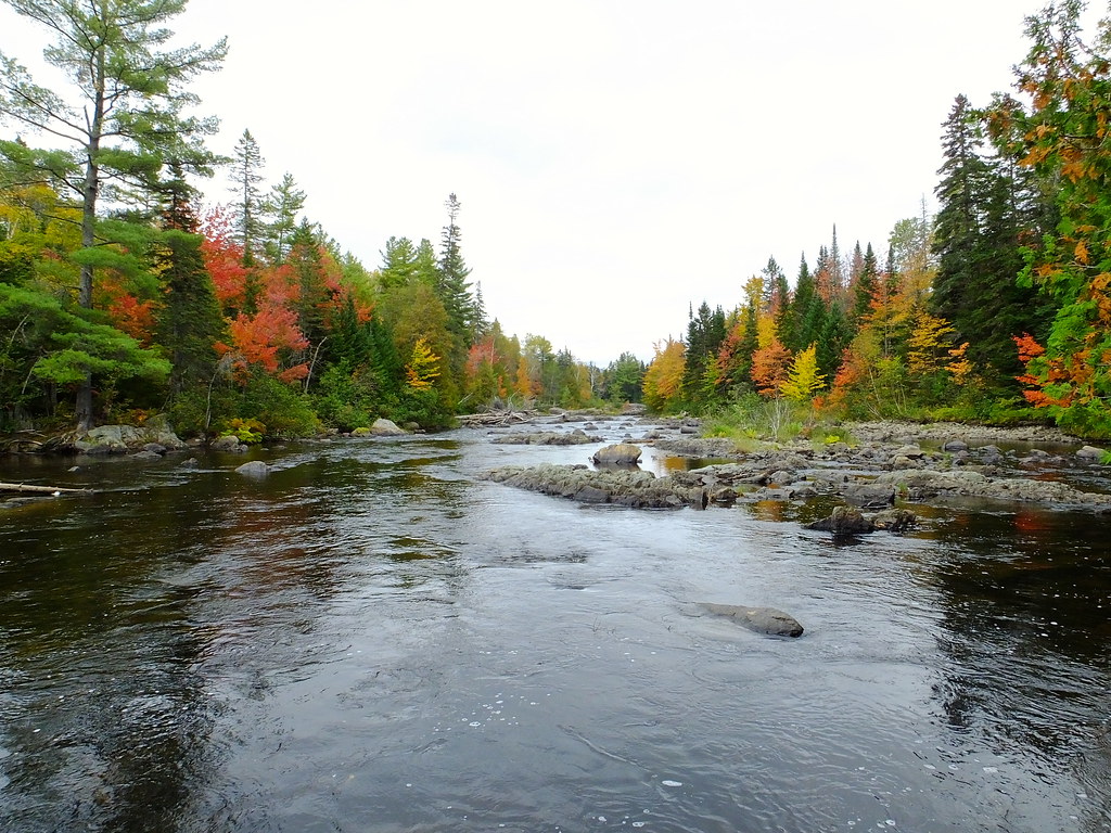
North Branch Dead River 1
pictures new trip travel light usa color fall nature water creek forest river landscape geotagged photography us photo waterfall leaf woods stream day image photos fallcolors live maine scenic picture images foliage photograph waterfalls digitalcamera brook aki exploration leafs mori mizu photooftheday picoftheday eustis leau deadriver lautomne fugifilm laforêt elotoño elagua daswasser sarampusfalls dailynaturetnc12 rong58 elfollaje finepixhs50exr northbranchdeadriver
Sarampus Falls
autumn trees fall me water forest river landscape waterfall woods maine falls waterfalls restarea northfranklin sarampus dmcg10
Sarampus Falls
carrabassettvalley me usa
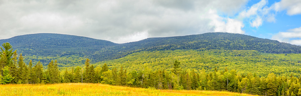
mountainpano_MO5D3009_170806-Pano-Edit
klr650 asbestos maine motorcycle quebec vermont
Operation Asbestos Beer 2018-5
thehornspond usa bigelowsouthhorn panorama maine appalachiantrail bigelownorthhorn kingfield unitedstates us
JFRM-2017-09-0846-Pano.jpg
photostream
Flagstaff Maine
other roadsandtrails trees kingfield maine unitedstates us
20160918 031
mountains other trains kingfield maine unitedstates us
20160918 033
usa bigelowsouthhorn panorama maine appalachiantrail kingfield unitedstates us
JFRM-2017-09-0852-Pano.jpg
other riversandlakes kingfield maine unitedstates us
20160918 029
panorama appalachiantrail usa maine kingfield unitedstates us
JFRM-2017-09-0840-Pano.jpg
Day 8, Kingfield, ME - Wilberforce, ON 004