Elevation of Eustis, ME, USA
Location: United States > Maine > Franklin County >
Longitude: -70.478697
Latitude: 45.2169896
Elevation: 376m / 1234feet
Barometric Pressure: 97KPa
Elevation Map:
Satellite Map:
Related Photos:
Cat's Eye View of Happiness

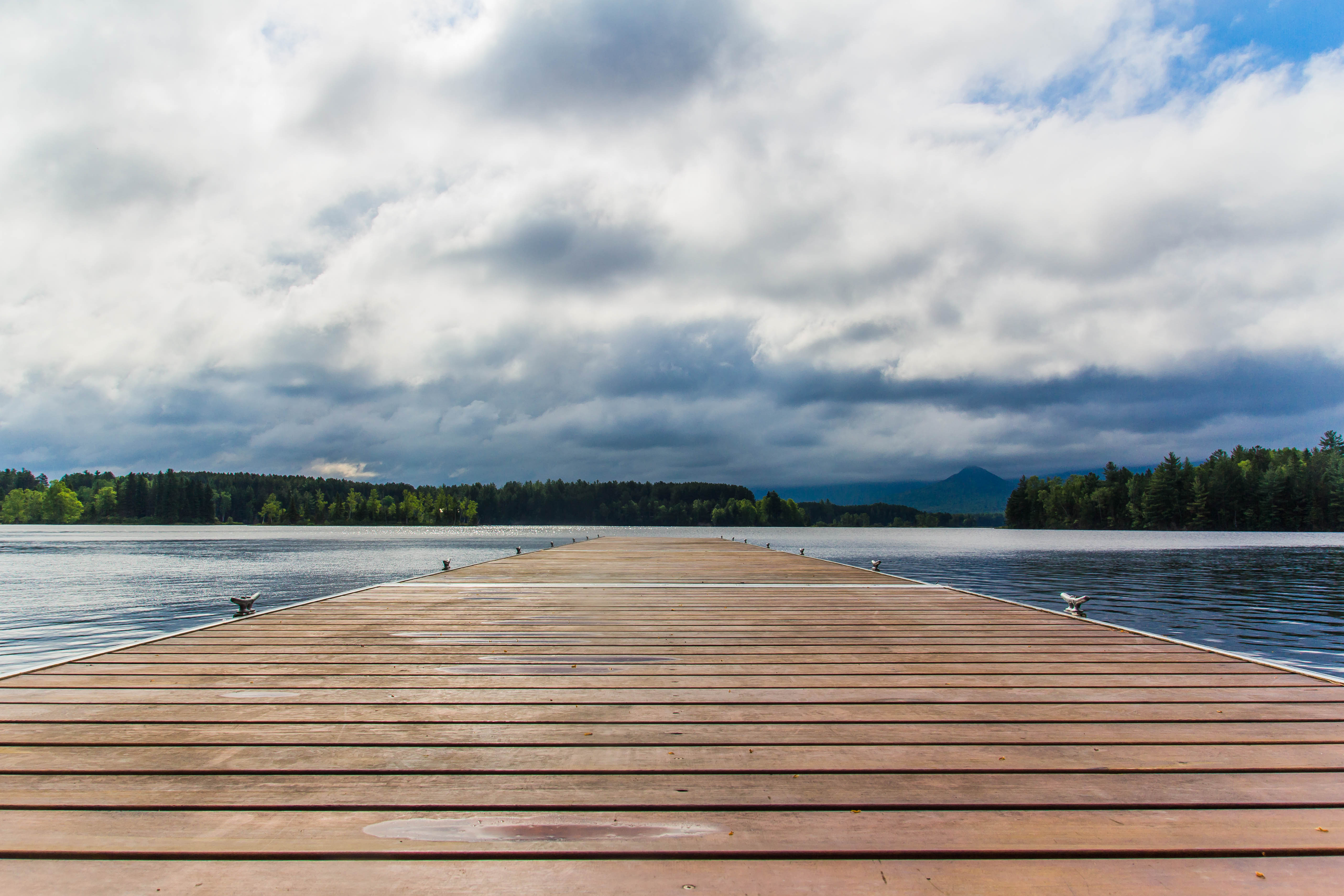
Flagstaff Lake Revisited

Sugarloaf view from the Stratton Brook Hut - Maine Huts and Trails
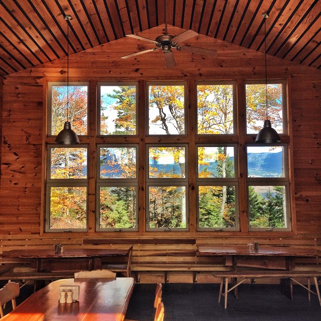
OMG. Main Hits and trails up Stratton Brook trail to the Stratton Brook Hut. The trail is incredible, the hut simply unreal. If you live in New England, you have to visit these huts. Top notch and the views are amazing!
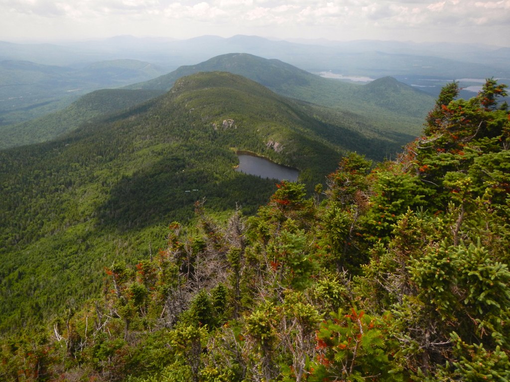
Maine 27 to Bigelow Col

Maine 27 to Bigelow Col
Maine 27 to Bigelow Col

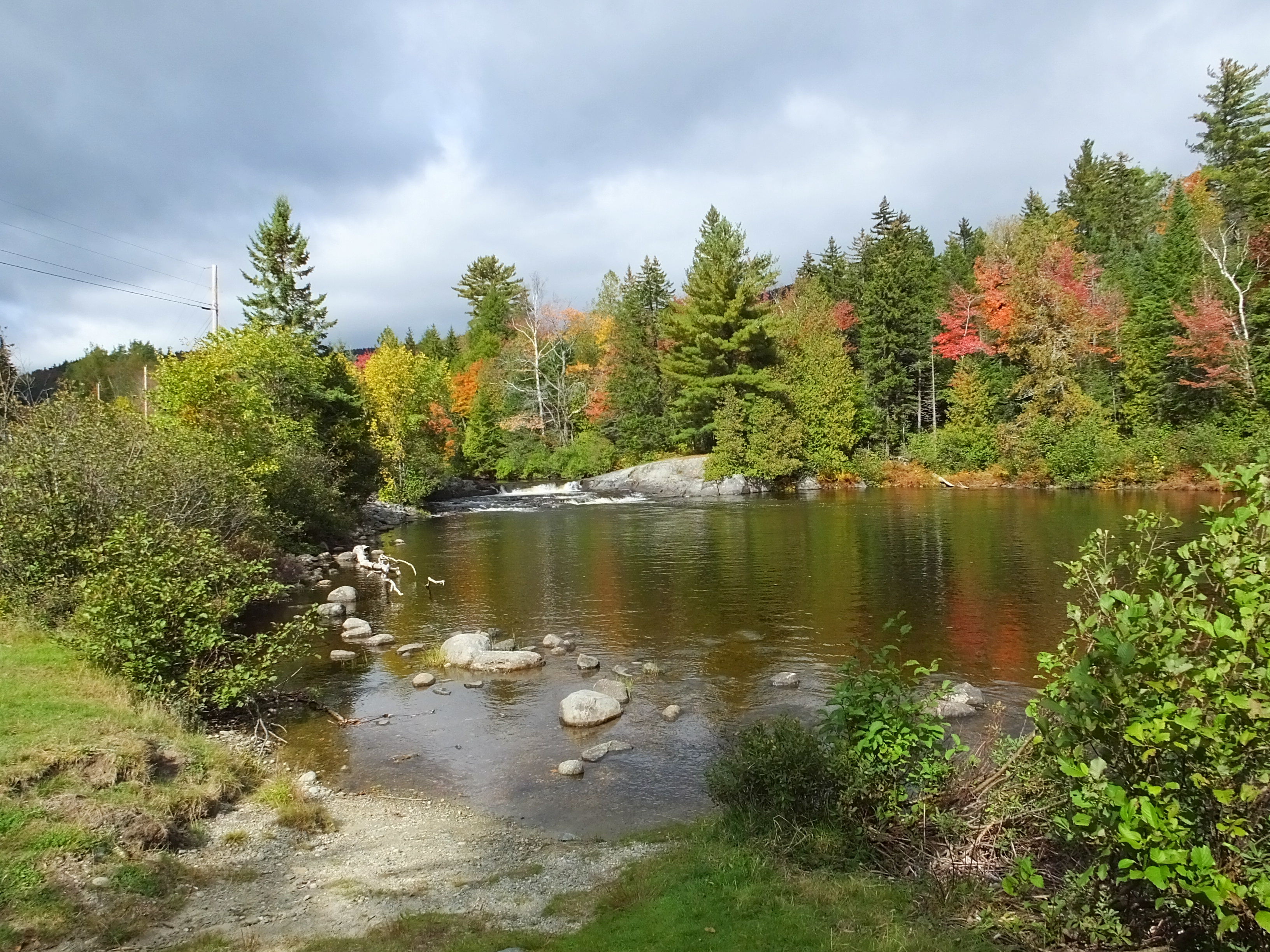
North Branch Dead River 2
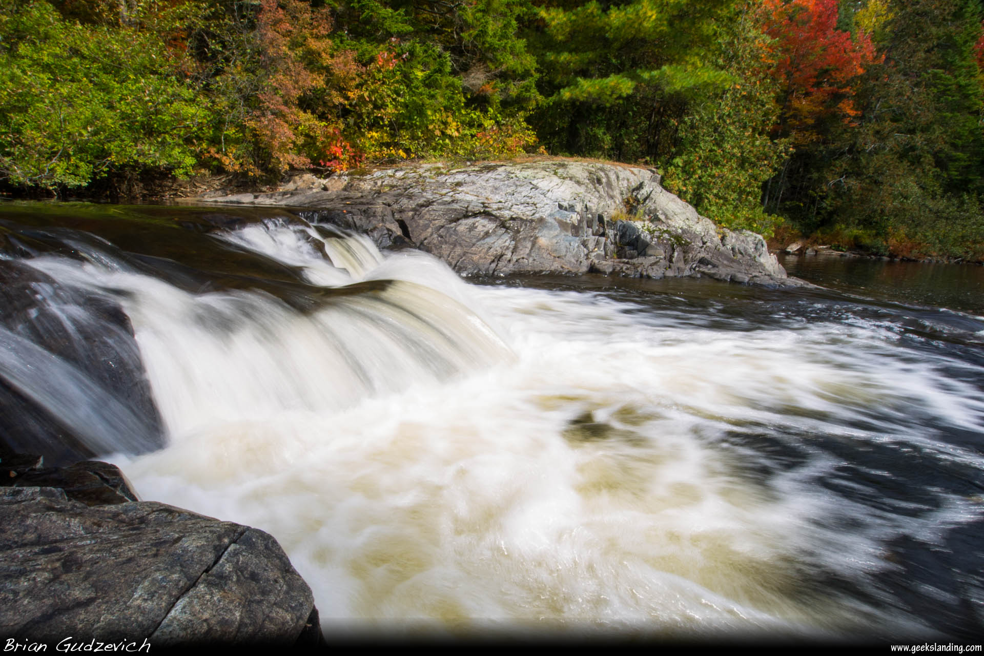
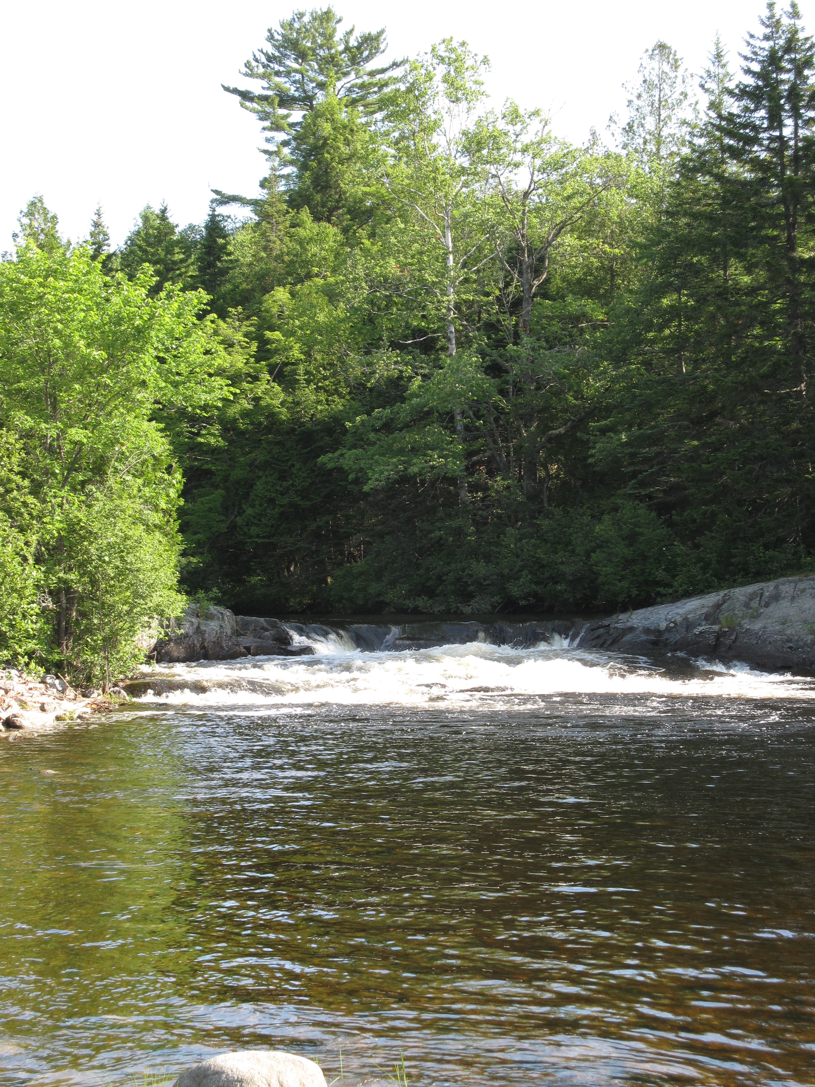
Sarampus Falls
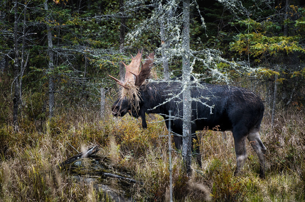
How To Hide If You're A Moose
Sur la route pour le Parc National d'Acadia,Maine,États-Unis
Sarampus Falls

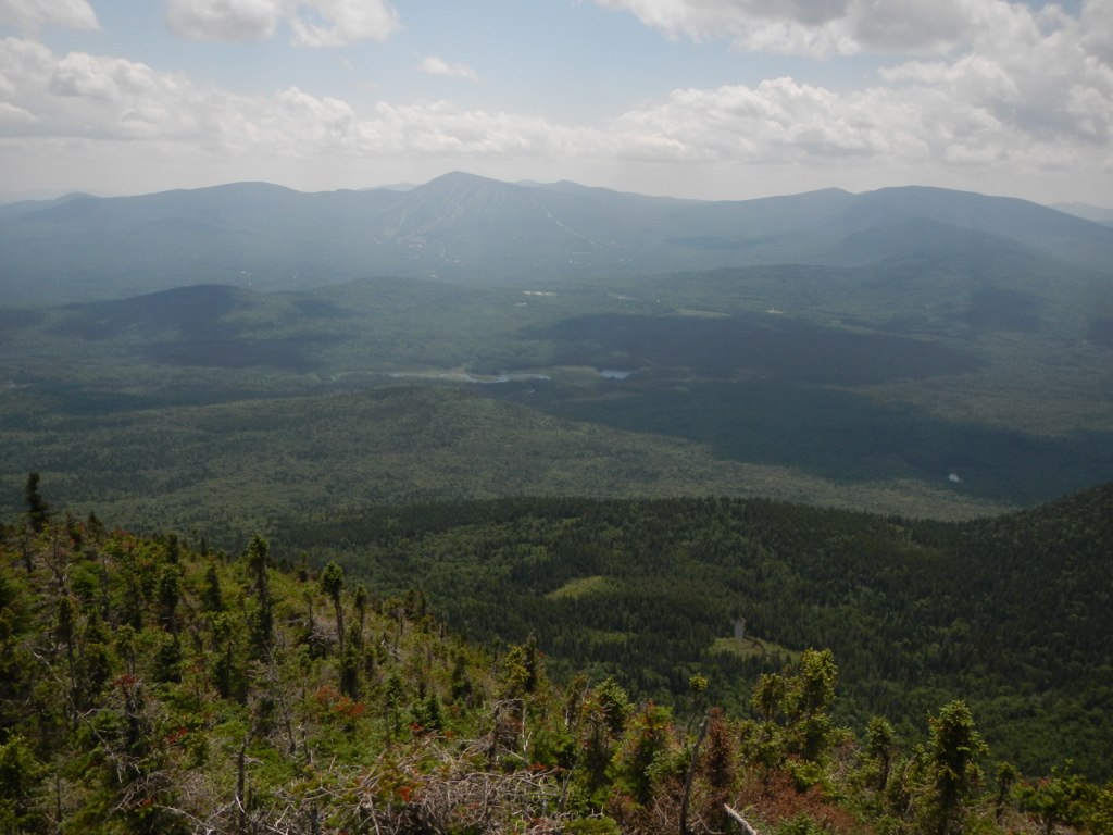
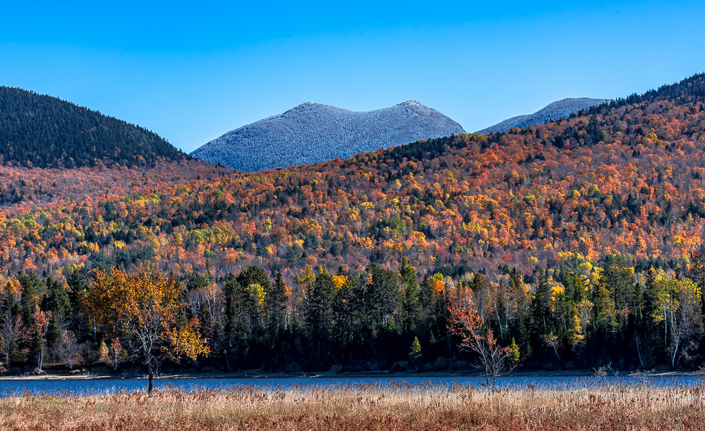
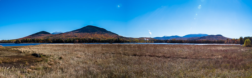
Looking towards Bigelow Preserve from the Dead River; Northern Maine

Looking towards Bigelow Preserve from the Dead River; Northern Maine
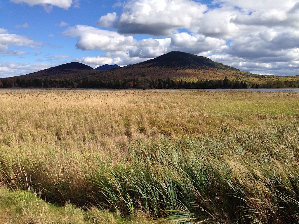
Flagstaff Maine
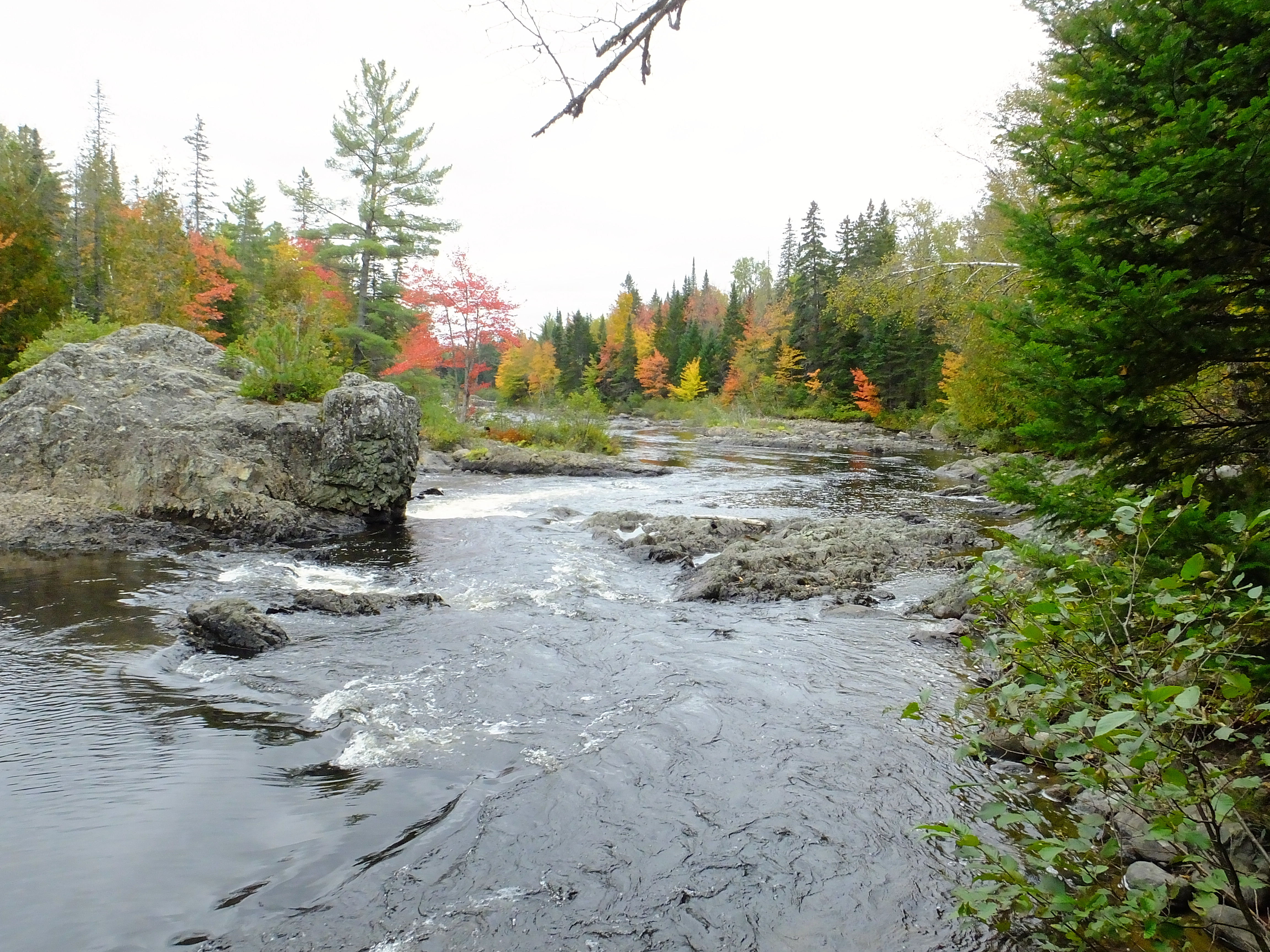
North Branch Dead River 1
Sur la route pour le Parc National d'Acadia
Day 8, Kingfield, ME - Wilberforce, ON 004

Flagstaff Lake, ME
Topographic Map of Eustis, ME, USA
Find elevation by address:

Places in Eustis, ME, USA:
Places near Eustis, ME, USA:
73 Eustis Pkwy
Stratton
Crocker Mountain
Franklin County
5092 Access Rd
Mount Redington
Northwest Somerset
Sugarloaf Mountain
Cupsuptic Campground
Saint-augustin-de-woburn
Pleasant Island Road
Route Trudel, Frontenac, QC G6B 0A9, Canada
Frontenac
Audet
Lower Black Pond
Abbie Pond
Frontenac
Piopolis
Audet
Rue Principale, Audet, QC G0Y 1A0, Canada
Recent Searches:
- Elevation of Corso Fratelli Cairoli, 35, Macerata MC, Italy
- Elevation of Tallevast Rd, Sarasota, FL, USA
- Elevation of 4th St E, Sonoma, CA, USA
- Elevation of Black Hollow Rd, Pennsdale, PA, USA
- Elevation of Oakland Ave, Williamsport, PA, USA
- Elevation of Pedrógão Grande, Portugal
- Elevation of Klee Dr, Martinsburg, WV, USA
- Elevation of Via Roma, Pieranica CR, Italy
- Elevation of Tavkvetili Mountain, Georgia
- Elevation of Hartfords Bluff Cir, Mt Pleasant, SC, USA