Elevation of Bosebuck Mountain Camps, Parmachenee Rd, Errol, ME, USA
Location: United States > New Hampshire >
Longitude: -70.998076
Latitude: 45.0990715
Elevation: 467m / 1532feet
Barometric Pressure: 96KPa
Elevation Map:
Satellite Map:
Related Photos:

kayaking at sunrise, pittsburg, nh

Saturday-04180

Saturday-04133

Saturday-04064

Saturday-04103

Saturday-04077
Second Connecticut Lake
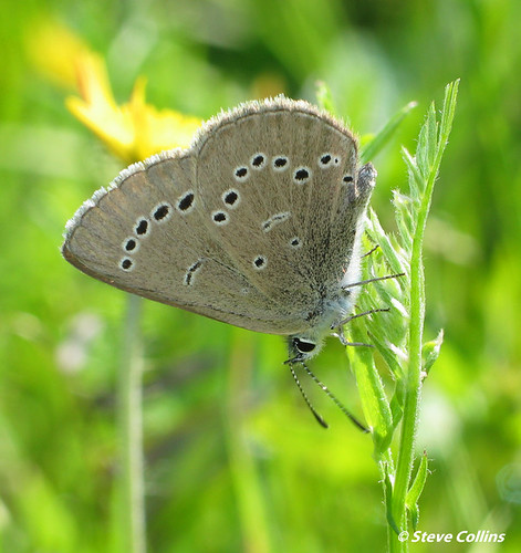
Silvery Blue (Glaucopsyche lygdamus)
East Inlet WMA, Pittsburg, NH
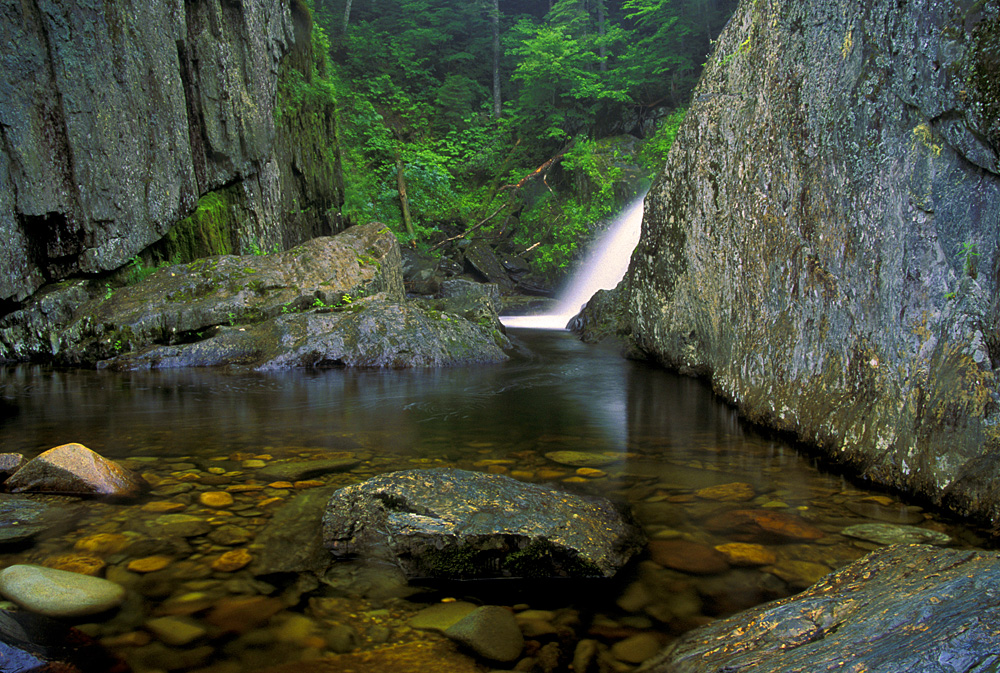
Garfield Falls
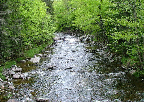
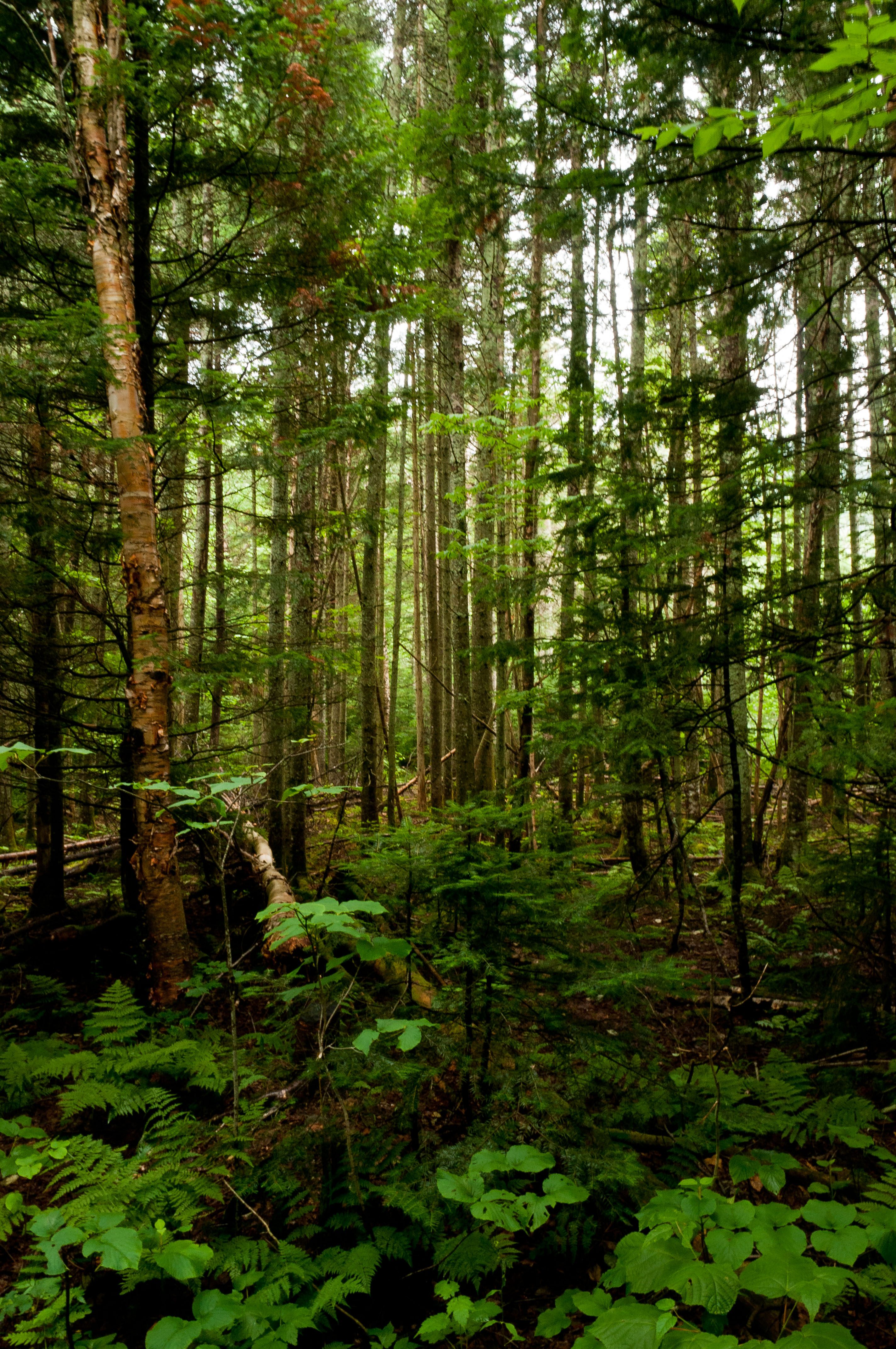
Mountain Stream
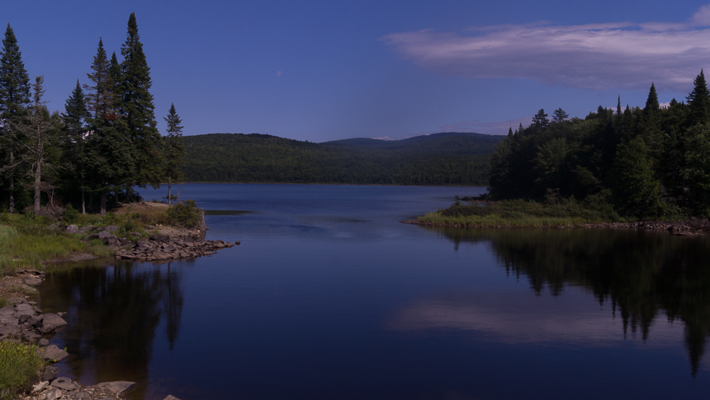
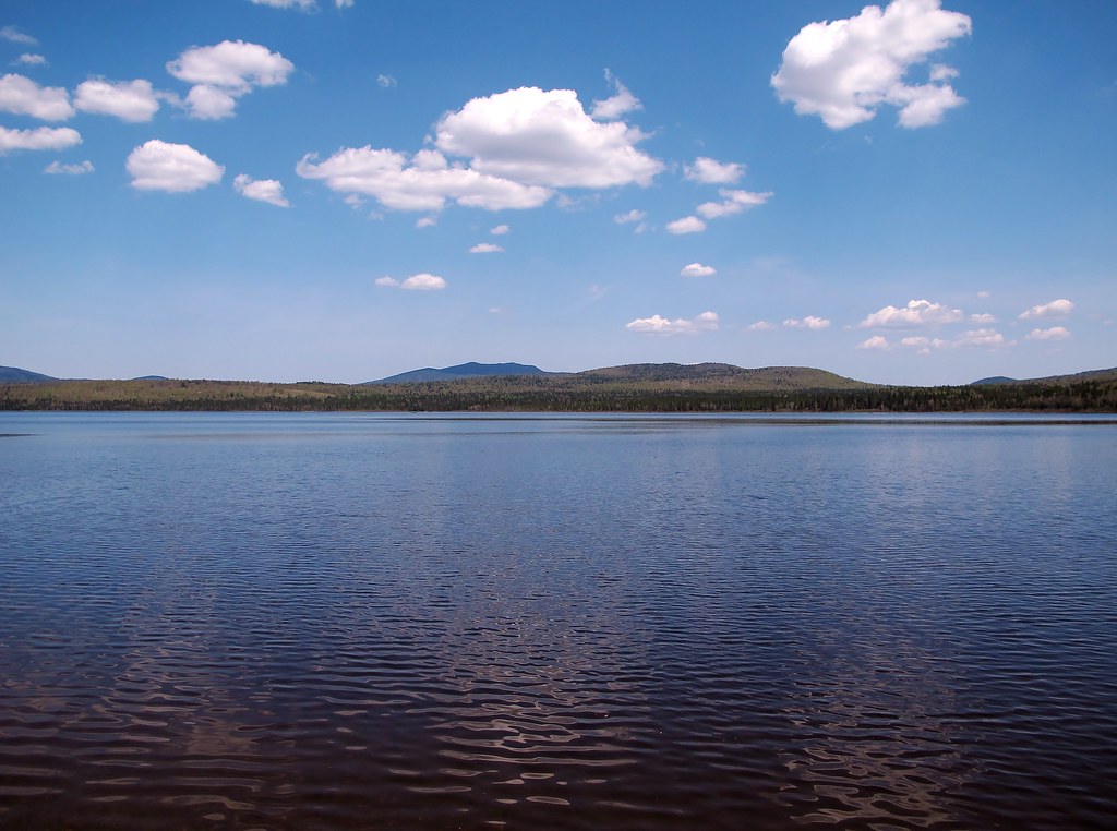
Second Connecticut Lake (NH)
20160808-DSC00606
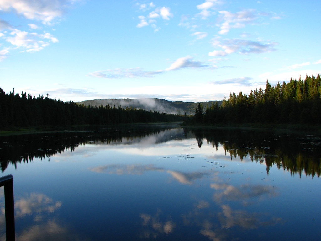
East Inlet
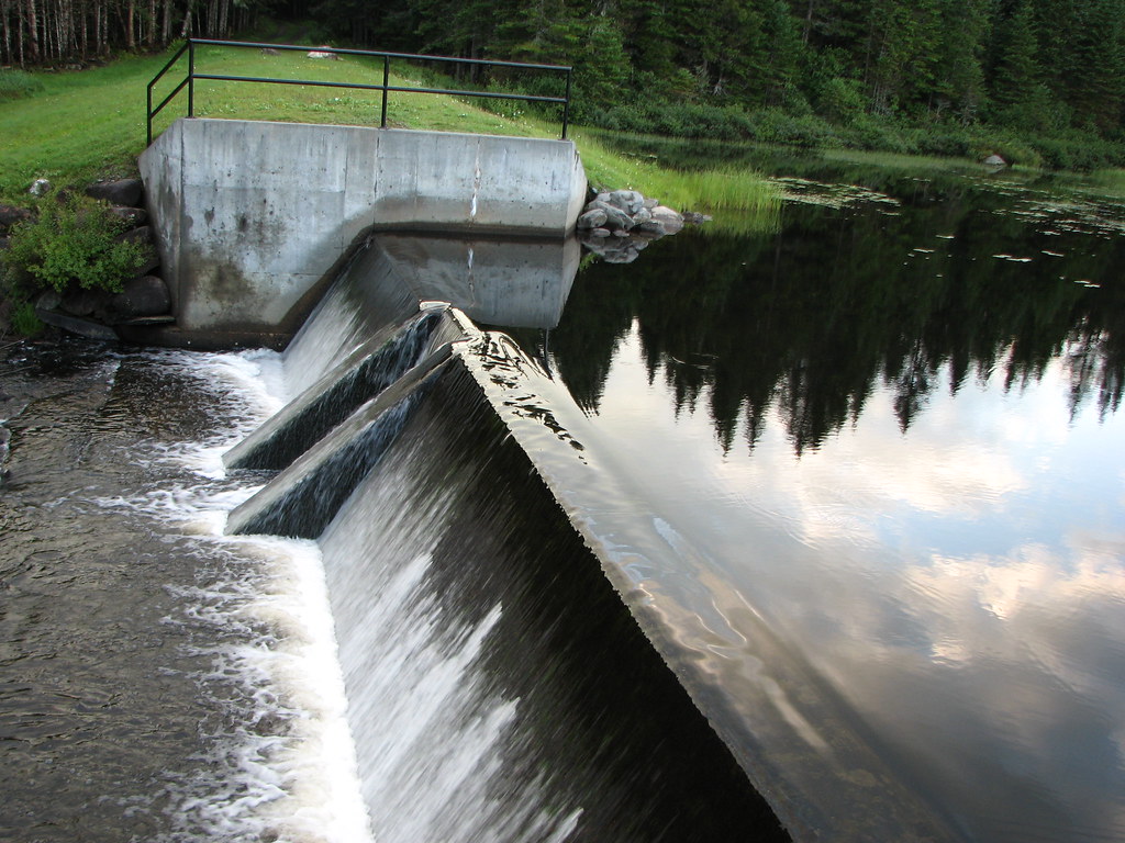
East Inlet Dam
Topographic Map of Bosebuck Mountain Camps, Parmachenee Rd, Errol, ME, USA
Find elevation by address:

Places near Bosebuck Mountain Camps, Parmachenee Rd, Errol, ME, USA:
Lower Black Pond
Upper Black Pond
Pleasant Island Road
Cupsuptic Campground
Abbie Pond
36 Holly Ln
36 Holly Ln
First Connecticut Lake
Notre-dame-des-bois
75 Chemin Du 39
75 Chemin Du 39
75 Chemin Du 39
15 Route Saint Hyacinthe, Chartierville, QC J0B 1K0, Canada
Chartierville
44 Stewart Young Road
Chemin Nancy
70 River Rd
Notre-dame-des-bois
Saint-augustin-de-woburn
111 Hillside Dr
Recent Searches:
- Elevation of Corso Fratelli Cairoli, 35, Macerata MC, Italy
- Elevation of Tallevast Rd, Sarasota, FL, USA
- Elevation of 4th St E, Sonoma, CA, USA
- Elevation of Black Hollow Rd, Pennsdale, PA, USA
- Elevation of Oakland Ave, Williamsport, PA, USA
- Elevation of Pedrógão Grande, Portugal
- Elevation of Klee Dr, Martinsburg, WV, USA
- Elevation of Via Roma, Pieranica CR, Italy
- Elevation of Tavkvetili Mountain, Georgia
- Elevation of Hartfords Bluff Cir, Mt Pleasant, SC, USA