Elevation map of Southern Downs Regional, Southern Downs, QLD, Australia
Location: Australia > Queensland >
Longitude: 151.981391
Latitude: -28.275430
Elevation: 538m / 1765feet
Barometric Pressure: 95KPa
Elevation Map:
Satellite Map:
Related Photos:
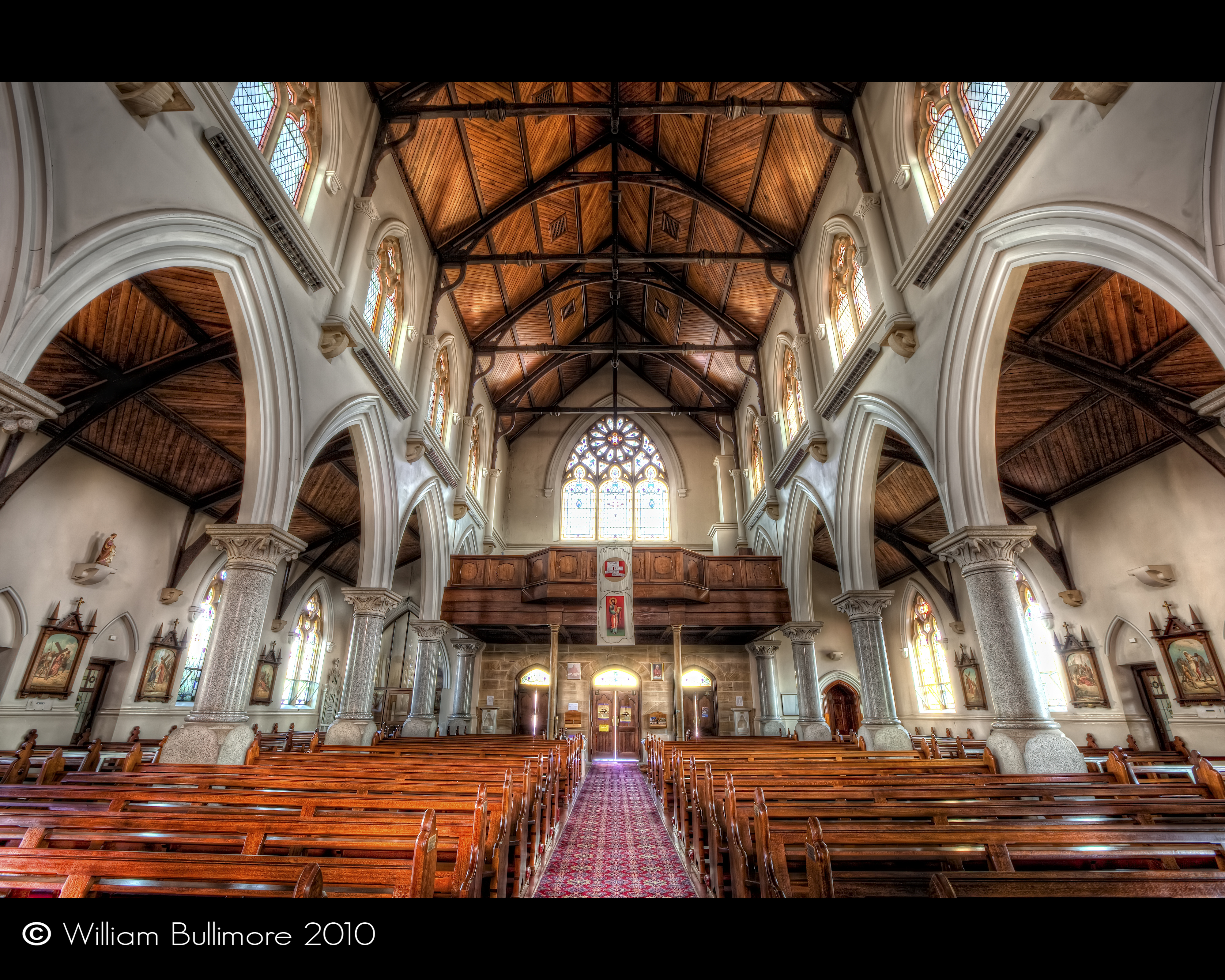
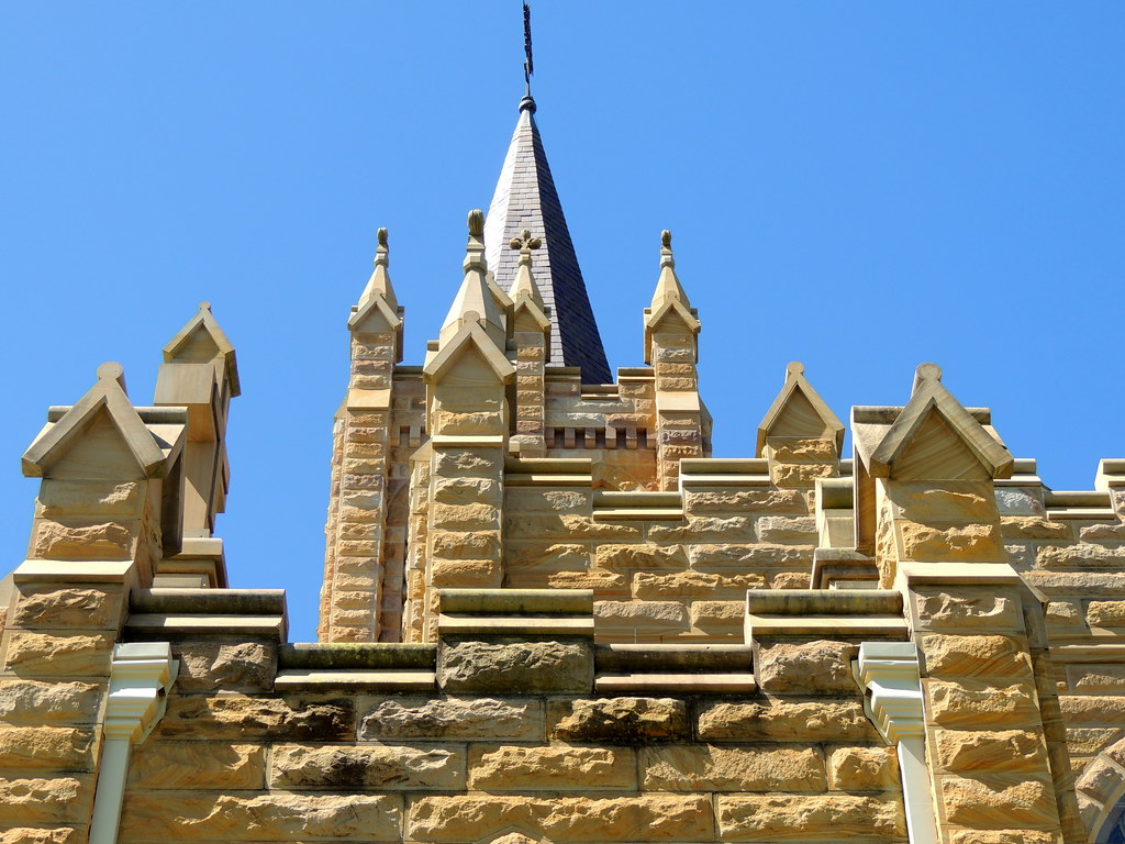
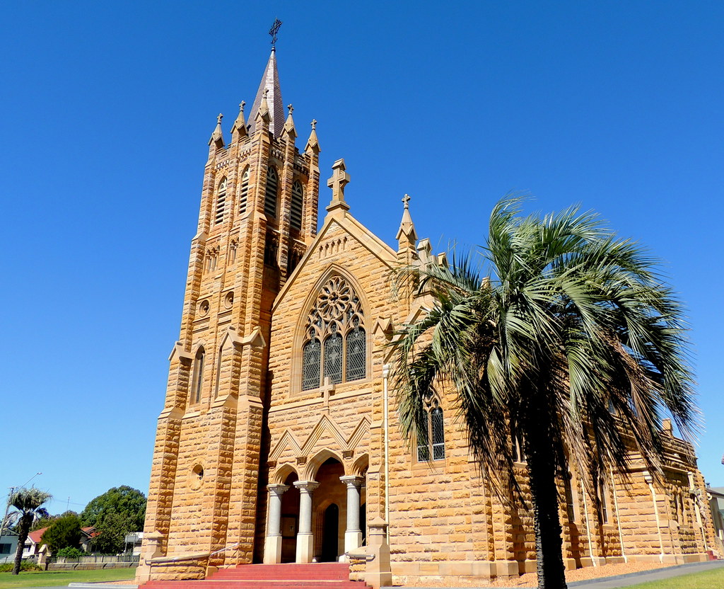
St Mary's Church • Warwick • Queensland

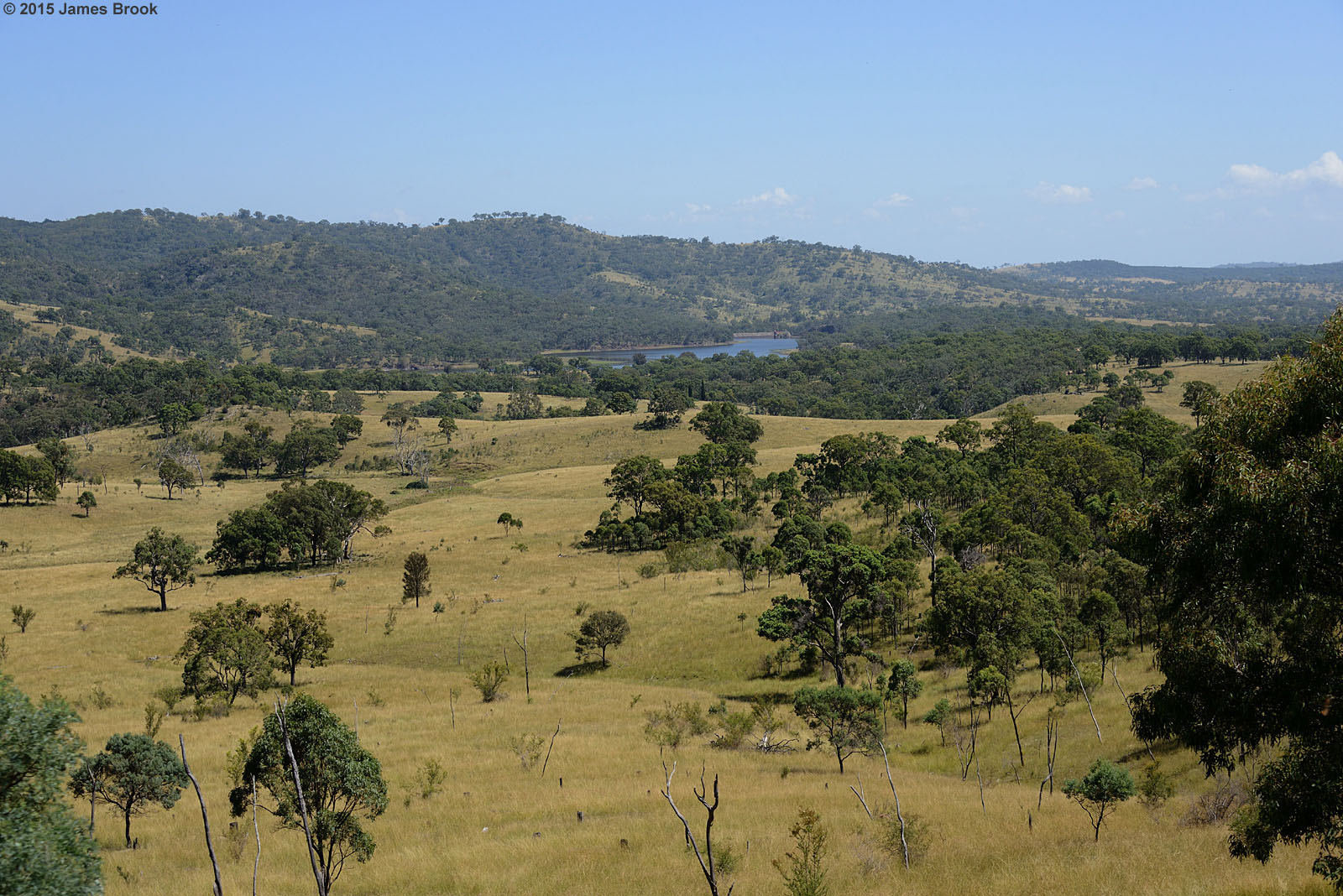
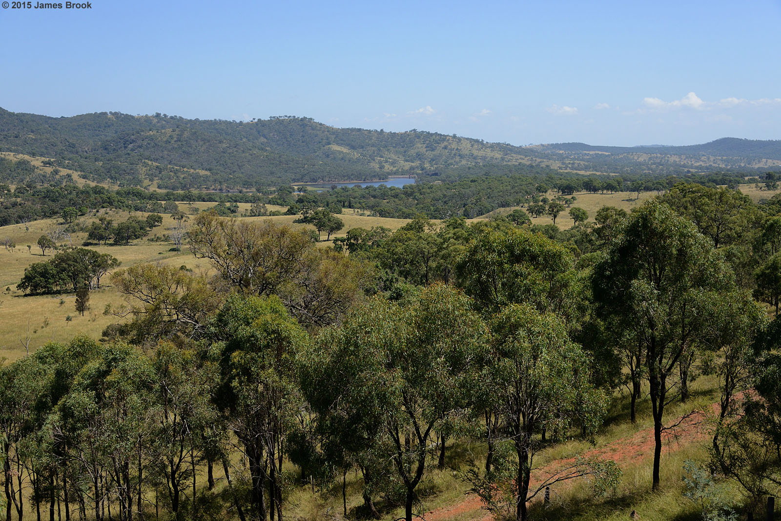
Leslie dam, General view
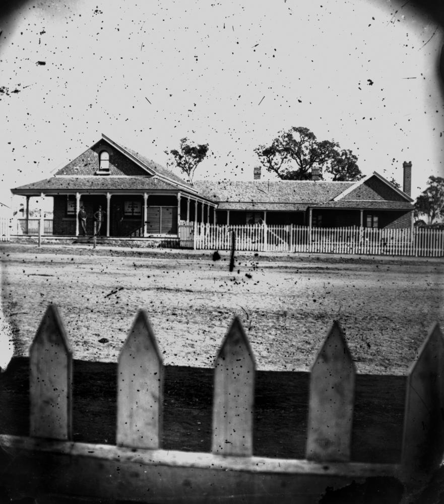
Bank of New South Wales at Warwick, ca. 1873
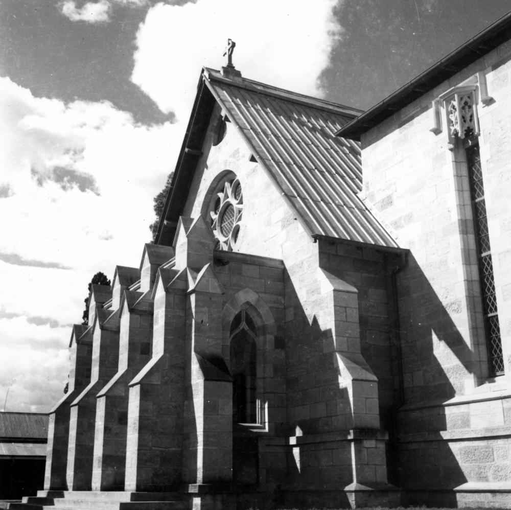
St Mark's Church of England, Warwick, ca. 1939
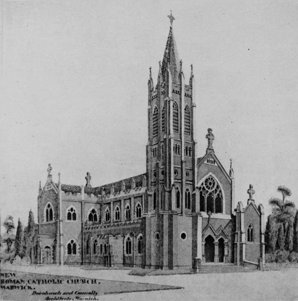
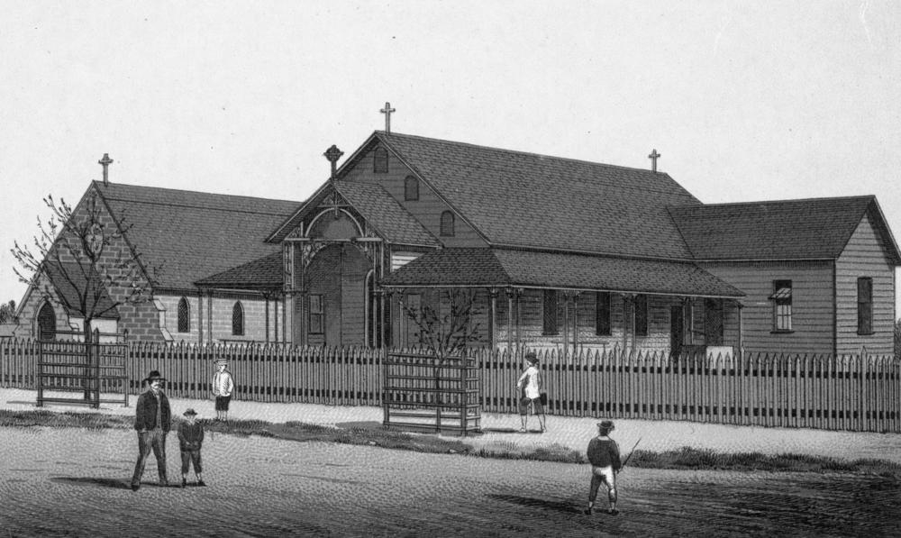
Sketch of St. Mary's Roman Catholic Church under construction, Warwick, ca. 1925

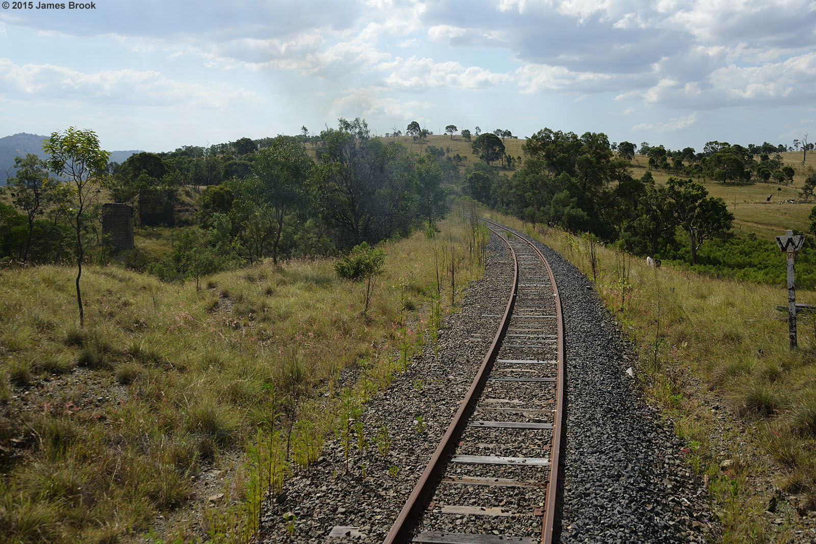
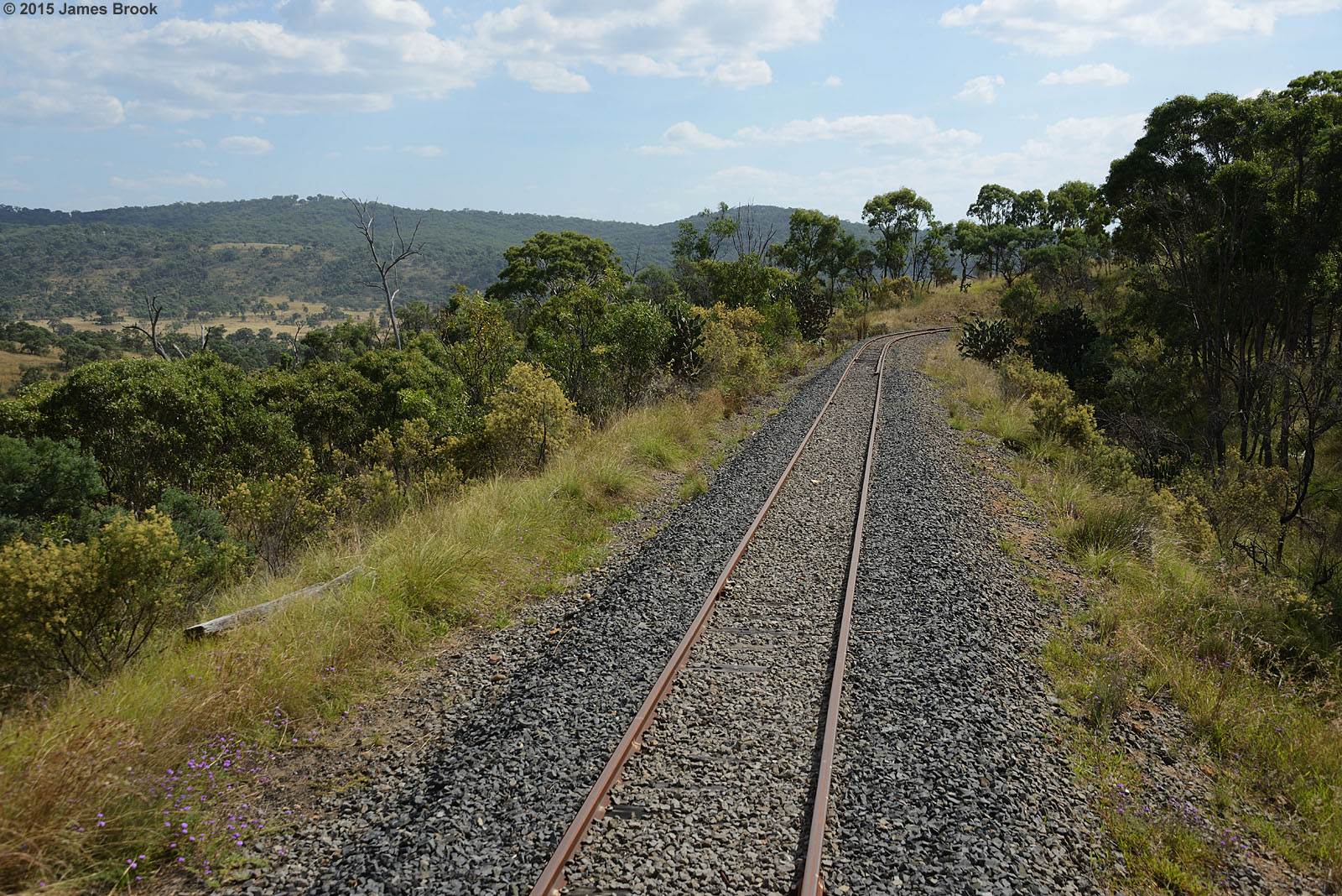
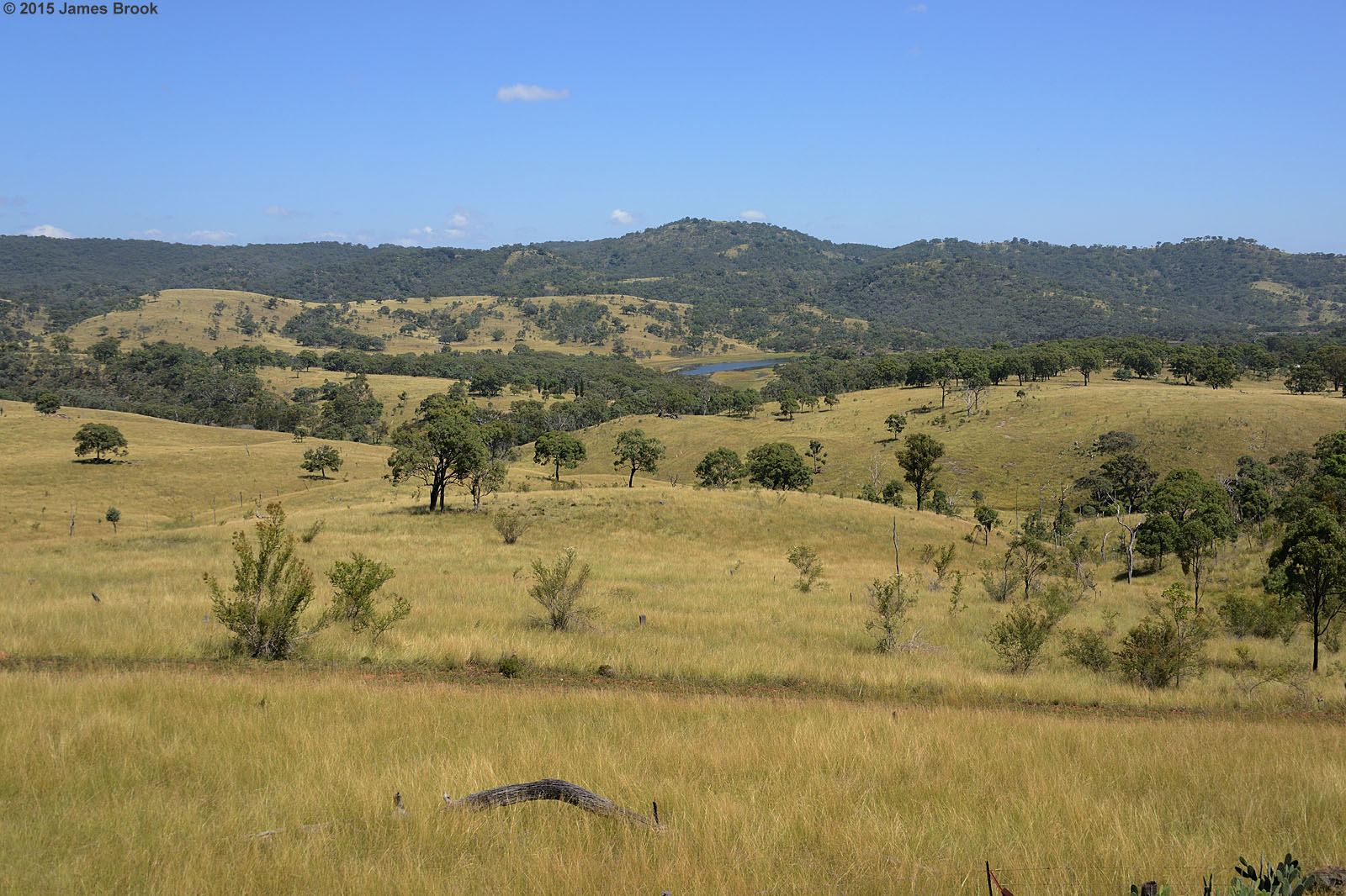
Gorge Tank to Cherry Gully

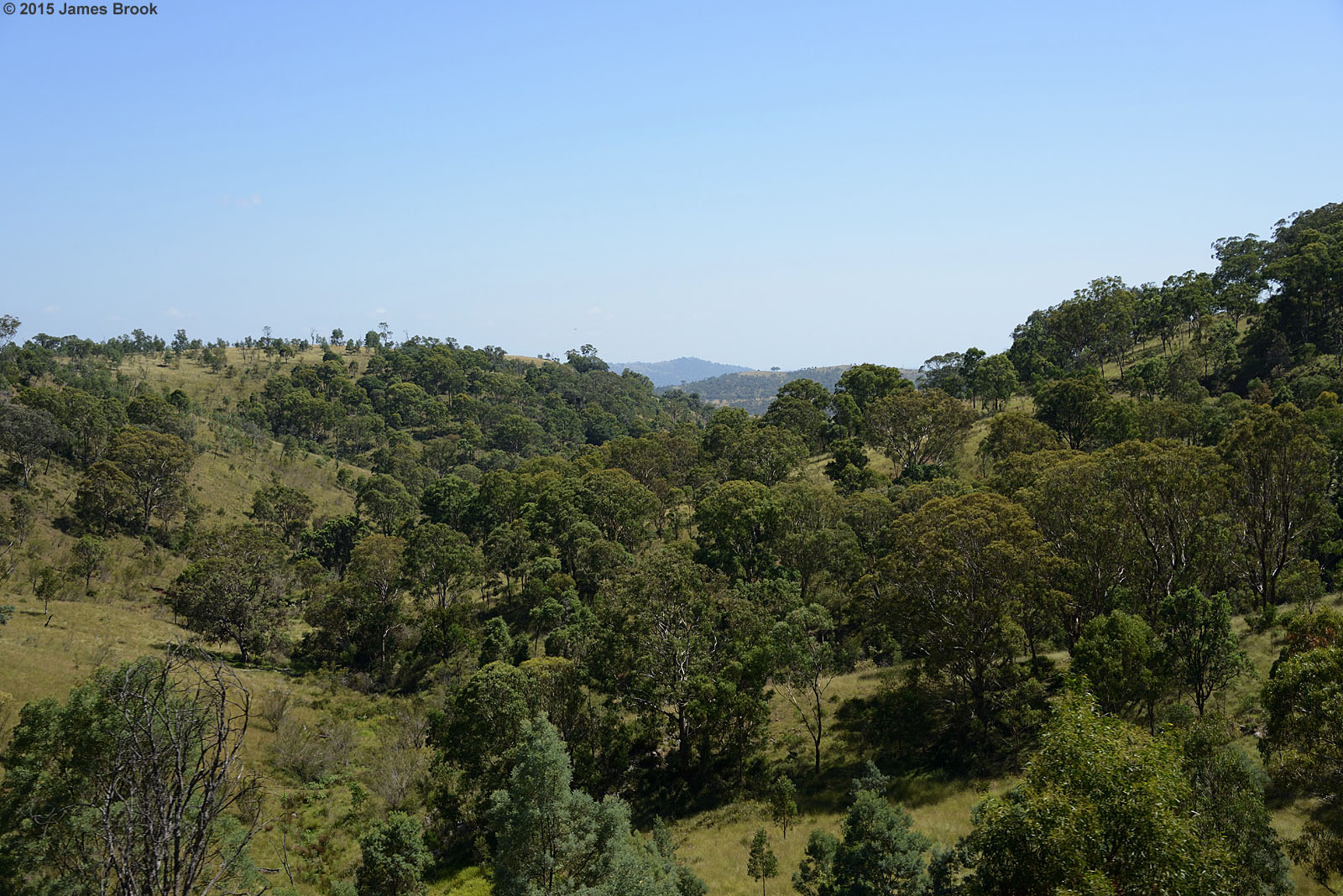
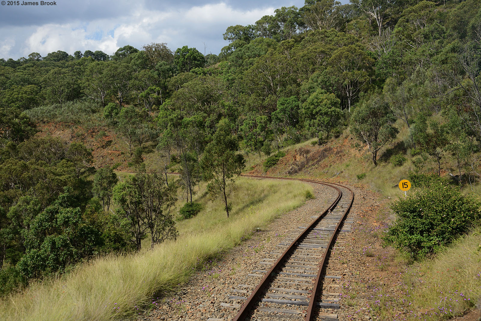
Gorge Tank
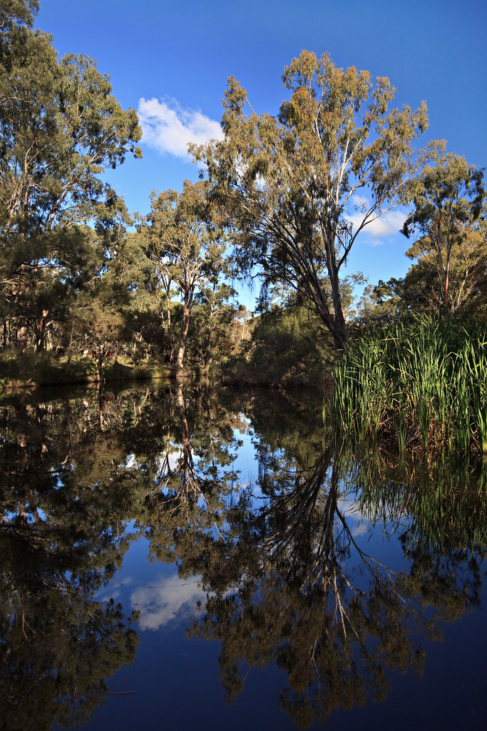
St Mary
St Mary
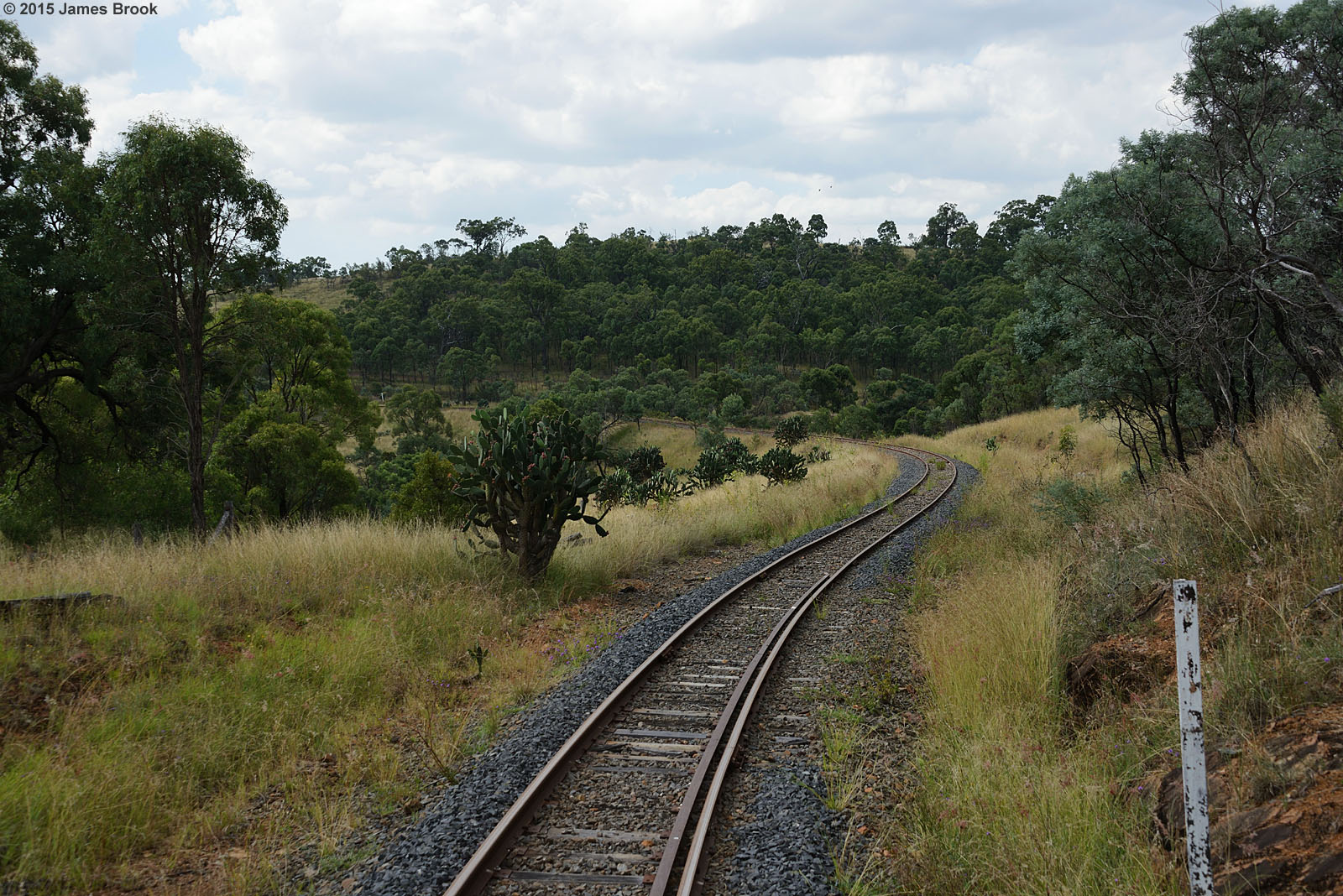
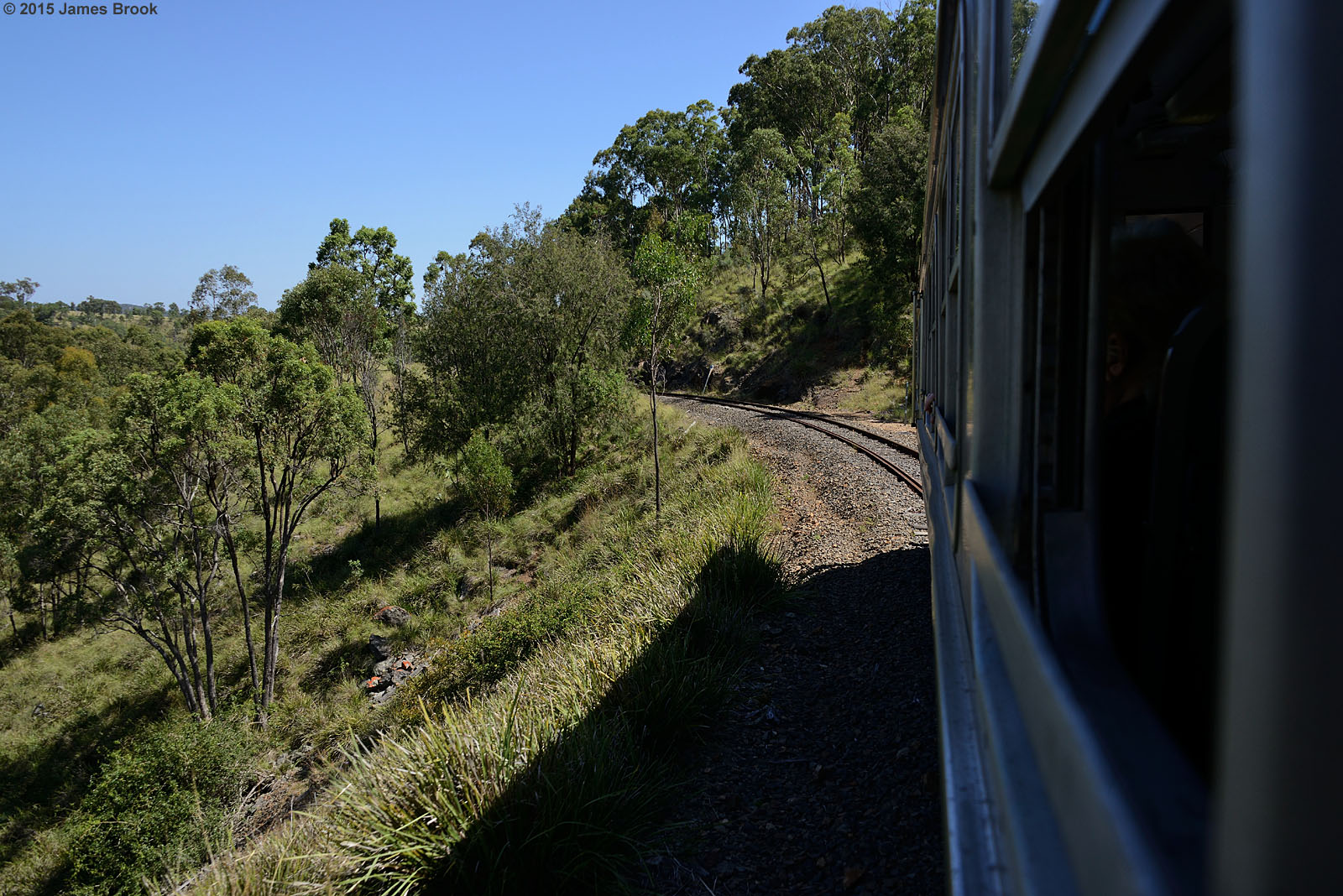
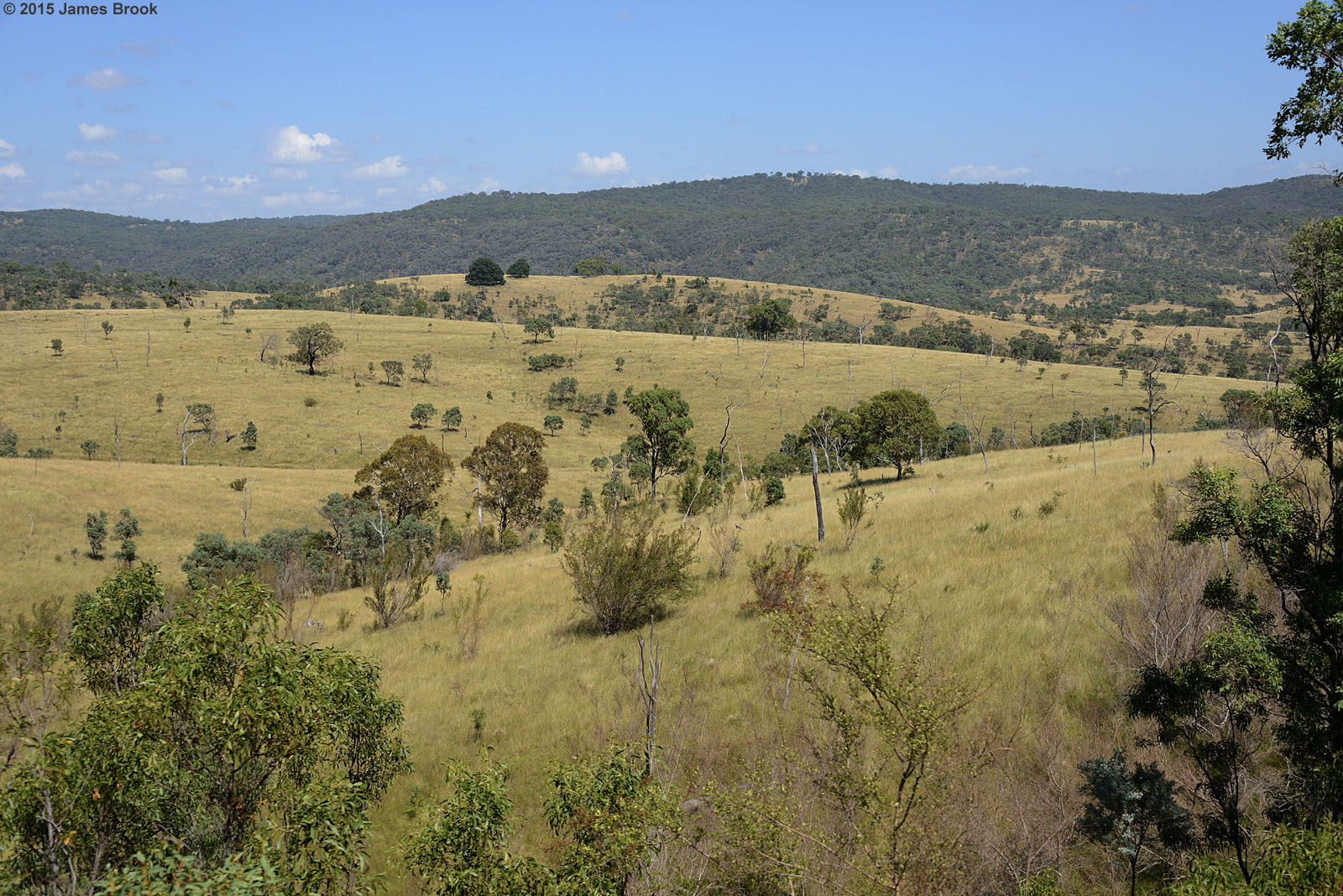
Silverwood to Gorge Tank

Toolburra to Warwick
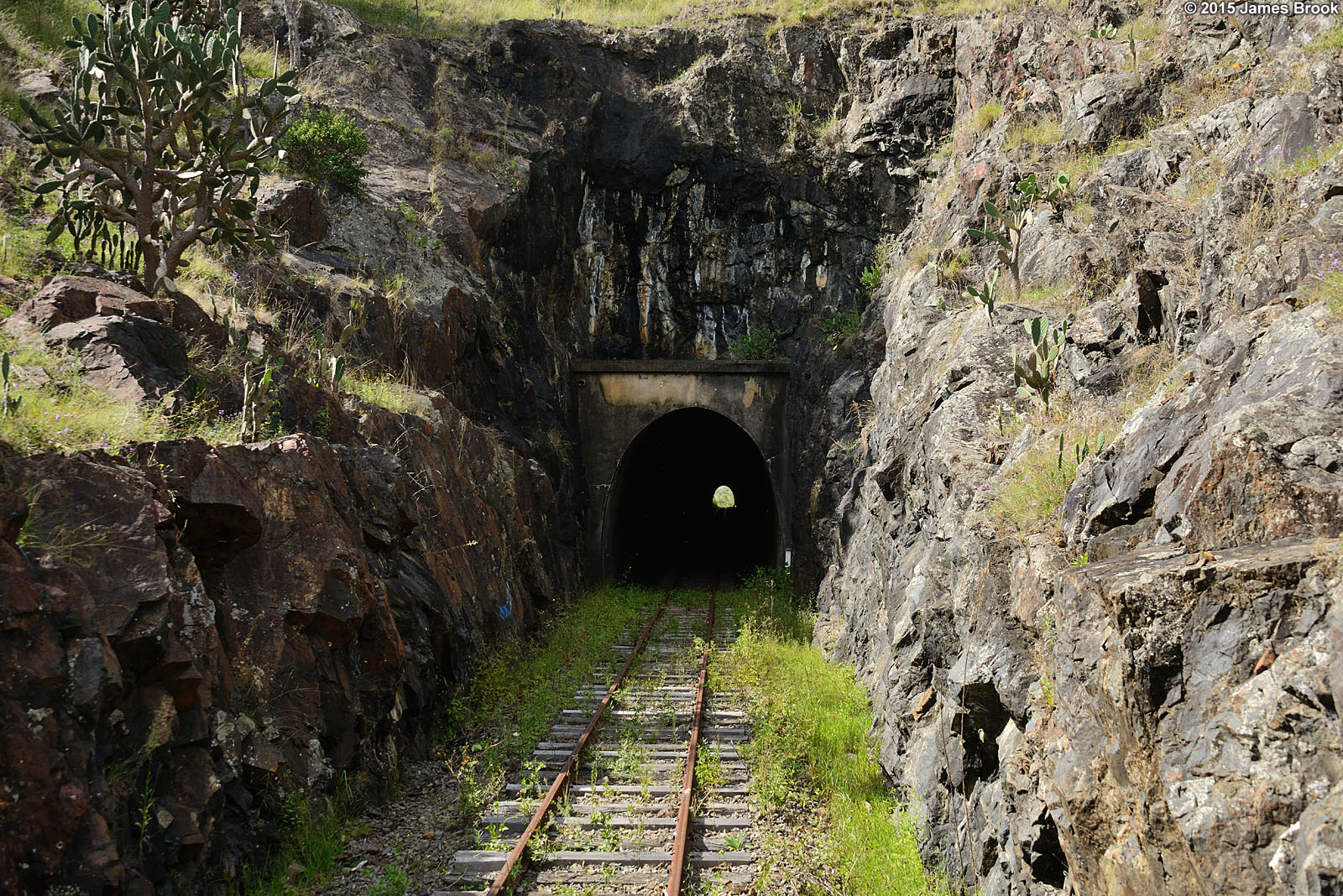
Gorge Tank to Cherry Gully
St. Mary's Church and School, Warwick, ca. 1886

St Andrew's Presbysterian Church, Warwick, ca. 1885
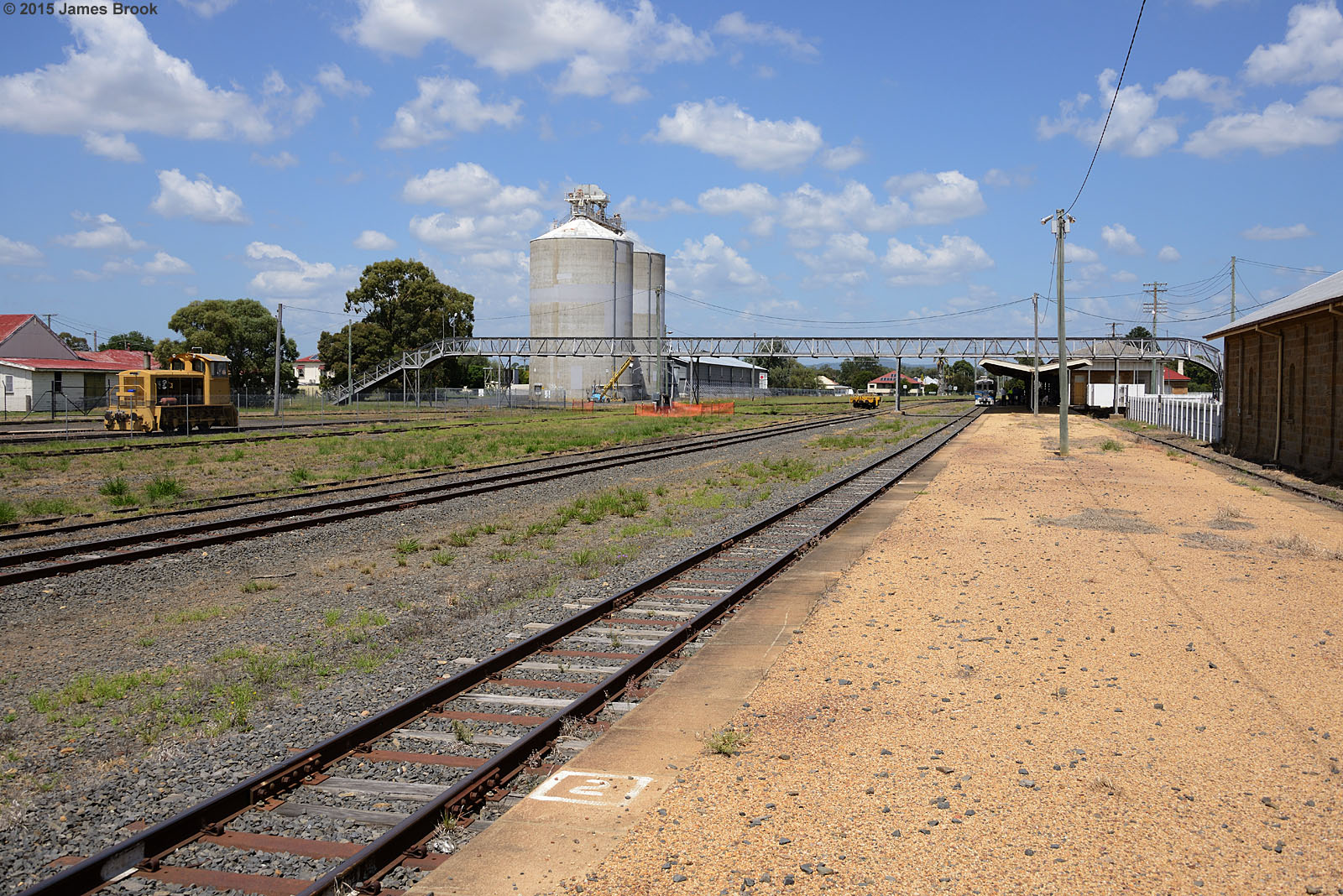
Warwick station
Silverwood to Warwick
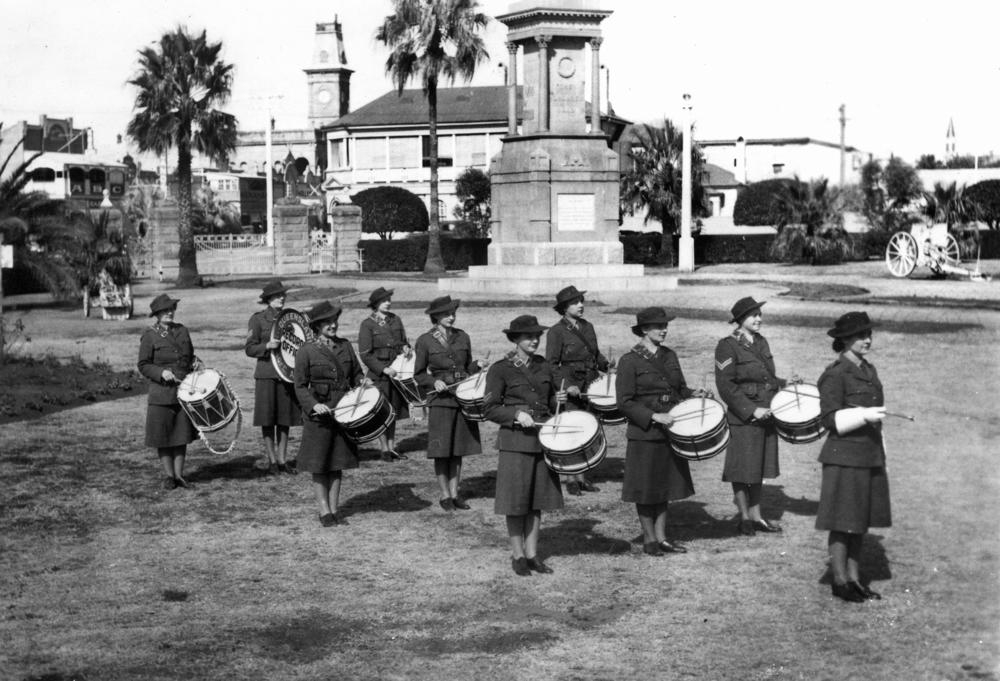
Twelve drummers drumming (almost twelve)
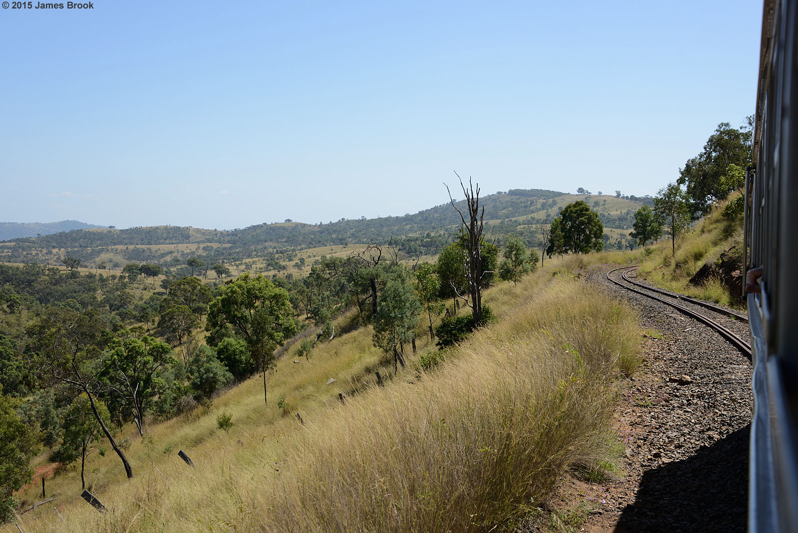
Cherry Gully to Gorge Tank
Cherry Gully to Gorge Tank
Silverwood to Gorge Tank

Gorge Tank to Silverwood

Cherry Gully to Gorge Tank
Cherry Gully to Gorge Tank
Gorge Tank to Silverwood
Silverwood to Gorge Tank
Gorge Tank to Silverwood
Gorge Tank to Silverwood
Gorge Tank to Silverwood
Gorge Tank to Silverwood

Warwick to Silverwood
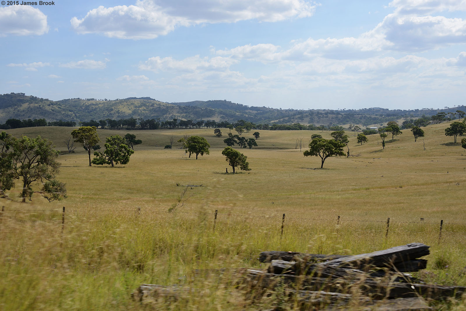
Warwick to Silverwood

Warwick to Silverwood
Gorge Tank to Cherry Gully

Lake Leslie at sunset, just outside of Warwick. We stayed @lakeleslietouristpark for two nights. It was great fun. Noting like a log ???? at night and marshmallows to top it off.
Iron Pot Creek
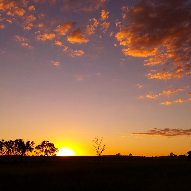
#sunset #warwick #beautiful #nofilter #pretty #summer #hot #clouds #sky #trees
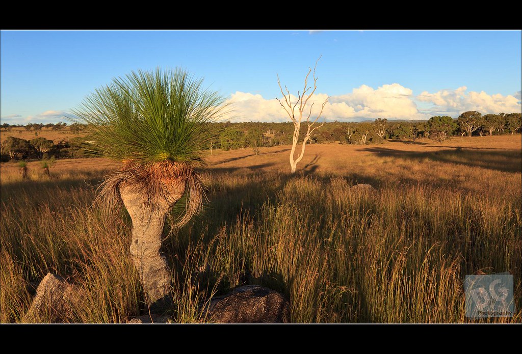
Grasstree at Sunset

Australia Trip 2012

These two...

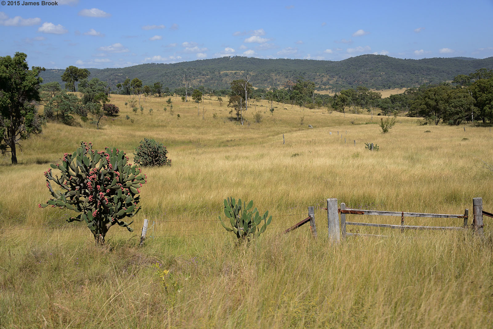
Flooded paddock

2007 sunflowers at Warwick in Australia
Topographic Map of Southern Downs Regional, Southern Downs, QLD, Australia
Find elevation by address:

Places in Southern Downs Regional, Southern Downs, QLD, Australia:
Killarney
Warwick
Emu Vale
Allora
Rosenthal Heights
Stanthorpe
Dalveen
Glenlyon
The Falls
Elbow Valley
The Summit
Bapaume
Amiens
Kyoomba
Sugarloaf
Glen Aplin
Goomburra
Maryvale
Mount Colliery
Swanfels
Berat
Murrays Bridge
Deuchar
Swan Creek
Applethorpe
Silverwood
Dalcouth
Thanes Creek
Fletcher
Upper Freestone
Ballandean
Tannymorel
Toolburra
Mount Marshall
Yangan
Glen Niven
Storm King
Places near Southern Downs Regional, Southern Downs, QLD, Australia:
Rosenthal Heights
300 Mardon Rd
7 Lookout Pl
Silverwood
Warwick
58 Grafton St
838 Tourist Drive 11
838 Tourist Drive 11
Toolburra
13 Cullendore Rd
72 Curtain Ave
Murrays Bridge
2519 Old Stanthorpe Rd
Swan Creek
1115 Warwick Yangan Rd
642 O'deas Rd
Elbow Valley
280 Glentanna Rd
Dalveen
554 Glentanna Rd
Recent Searches:
- Elevation of Corso Fratelli Cairoli, 35, Macerata MC, Italy
- Elevation of Tallevast Rd, Sarasota, FL, USA
- Elevation of 4th St E, Sonoma, CA, USA
- Elevation of Black Hollow Rd, Pennsdale, PA, USA
- Elevation of Oakland Ave, Williamsport, PA, USA
- Elevation of Pedrógão Grande, Portugal
- Elevation of Klee Dr, Martinsburg, WV, USA
- Elevation of Via Roma, Pieranica CR, Italy
- Elevation of Tavkvetili Mountain, Georgia
- Elevation of Hartfords Bluff Cir, Mt Pleasant, SC, USA