Elevation of O'Deas Rd, Elbow Valley QLD, Australia
Location: Australia > Queensland > Southern Downs Regional > Elbow Valley >
Longitude: 152.135453
Latitude: -28.385306
Elevation: 500m / 1640feet
Barometric Pressure: 95KPa
Elevation Map:
Satellite Map:
Related Photos:

Near Silverwood

Cherry Gully to Teemangum
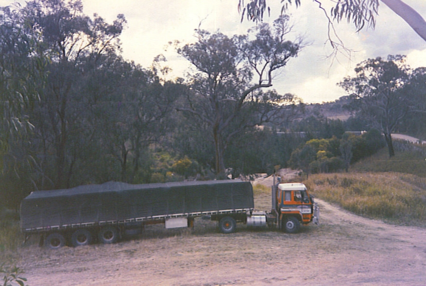
Marsden Transport at the Maryland River Bridge, Mt Lindesay Rd, NSW, Aust. c 1989

Near Silverwood

Silverwood to Gorge Tank

Marsden Transport at the Maryland River Bridge, Mt Lindesay Rd, NSW, Aust. c 1989

Gorge Tank to Cherry Gully
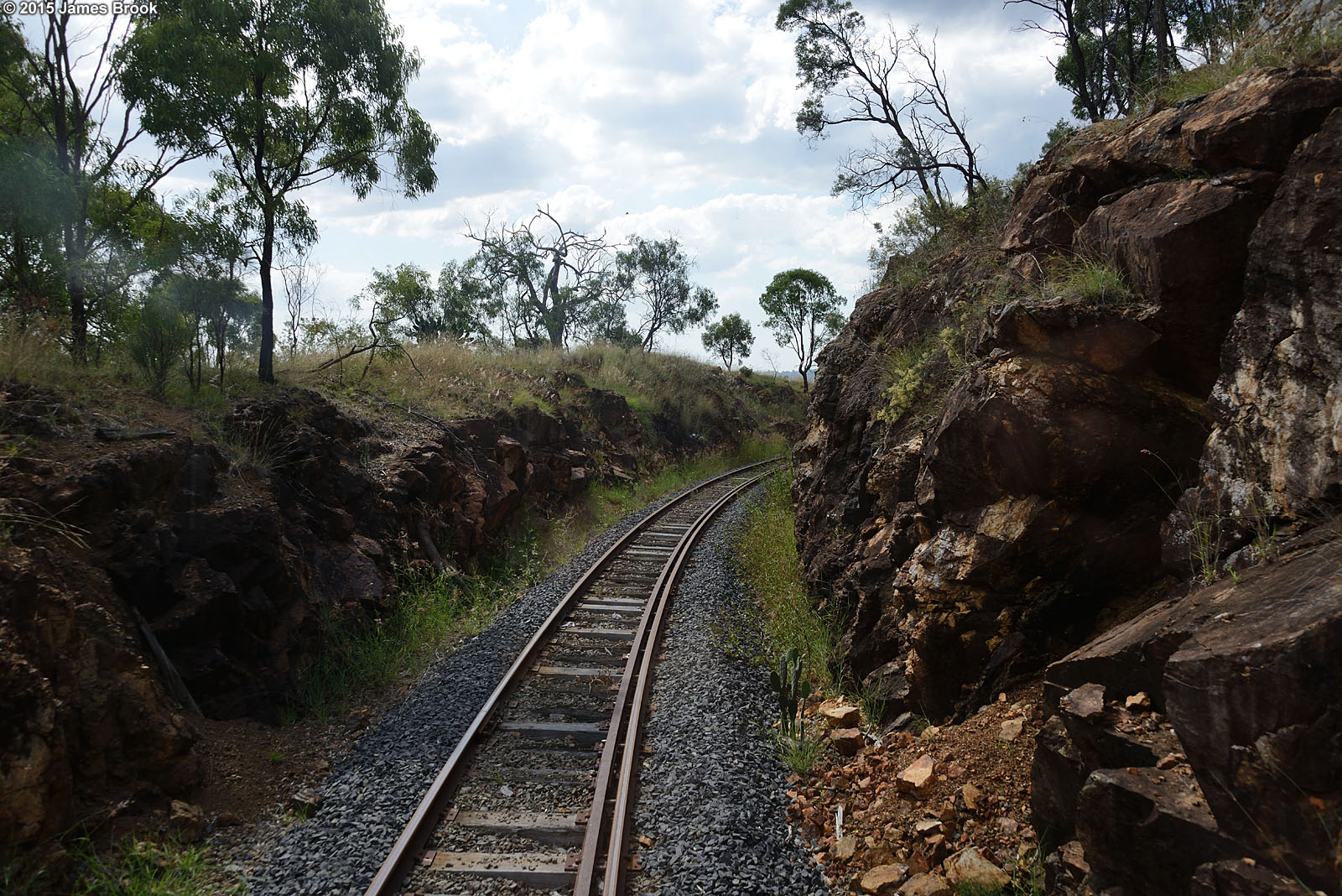
Silverwood to Gorge Tank

Cherry Gully

Cherry Gully to Gorge Tank

Cherry Gully to Teemangum

Cherry Gully to Gorge Tank

Nososticta solida male wings

Cherry Gully to Gorge Tank

Cherry Gully to Gorge Tank
Cherry Gully to Gorge Tank

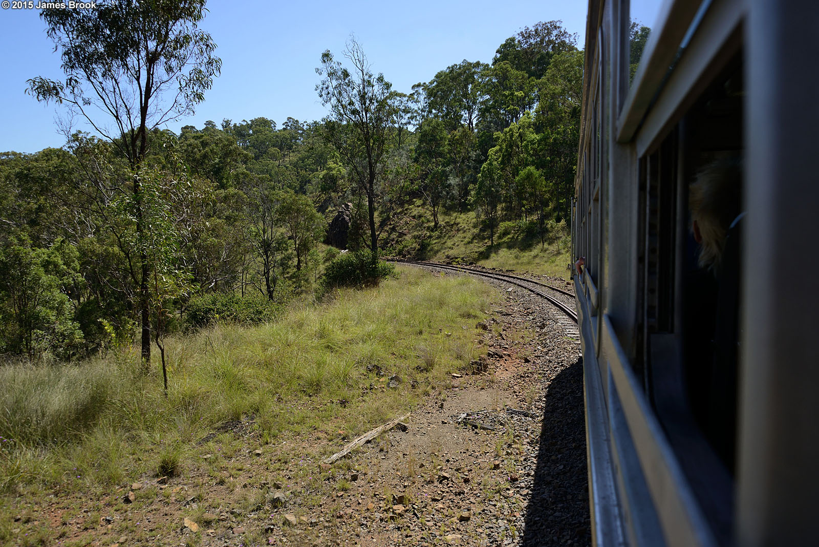
Silverwood to Warwick

Gorge Tank to Silverwood

Silverwood to Gorge Tank

Orthetrum caledonicum female wings

Near Silverwood

Southern Downs Sunset

Sunflowers...lots of sunflowers
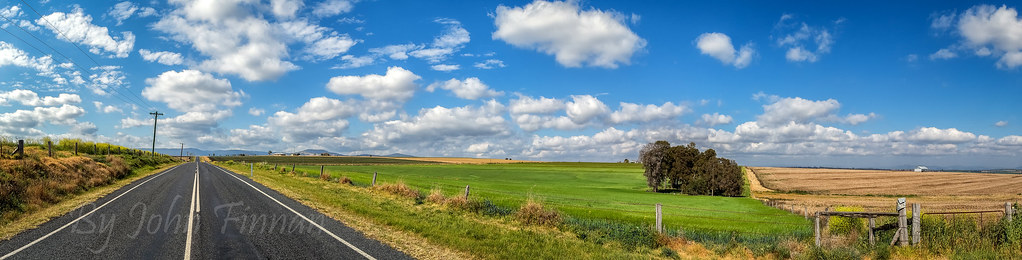
Under a sky full of white puffies ........

Warwick, Queensland

Warwick, Queensland

October 1995 - Killarney, Queensland, Australia

rapeseed field near Tannymorel, SEQ

B18 1/4 806 on Mail Train

Connolly Dam, south of Warwick IMG_9559

Silverwood to Gorge Tank

Gorge Tank to Silverwood

Gorge Tank to Silverwood

Warwick to Silverwood
Gorge Tank to Silverwood

Gorge Tank to Silverwood
Warwick to Silverwood
Topographic Map of O'Deas Rd, Elbow Valley QLD, Australia
Find elevation by address:

Places near O'Deas Rd, Elbow Valley QLD, Australia:
Elbow Valley
Murrays Bridge
13 Cullendore Rd
72 Curtain Ave
Bloomfield Road
2519 Old Stanthorpe Rd
Cullendore
7065 Mount Lindesay Rd
Silverwood
Tannymorel
274 Graysons Siding Rd
167 Caunter Rd
367 Wylie Creek Rd
Killarney
Mount Colliery
Grayson Road
Southern Downs Regional
Emu Vale
Border Road
Swan Creek
Recent Searches:
- Elevation of Corso Fratelli Cairoli, 35, Macerata MC, Italy
- Elevation of Tallevast Rd, Sarasota, FL, USA
- Elevation of 4th St E, Sonoma, CA, USA
- Elevation of Black Hollow Rd, Pennsdale, PA, USA
- Elevation of Oakland Ave, Williamsport, PA, USA
- Elevation of Pedrógão Grande, Portugal
- Elevation of Klee Dr, Martinsburg, WV, USA
- Elevation of Via Roma, Pieranica CR, Italy
- Elevation of Tavkvetili Mountain, Georgia
- Elevation of Hartfords Bluff Cir, Mt Pleasant, SC, USA