Elevation of Cullendore NSW, Australia
Location: Australia > New South Wales > Tenterfield Shire Council >
Longitude: 152.163728
Latitude: -28.504428
Elevation: 634m / 2080feet
Barometric Pressure: 94KPa
Elevation Map:
Satellite Map:
Related Photos:

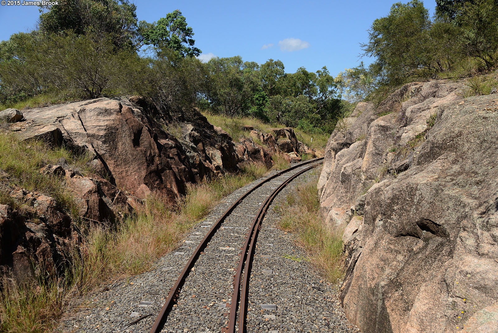
Cherry Gully to Teemangum
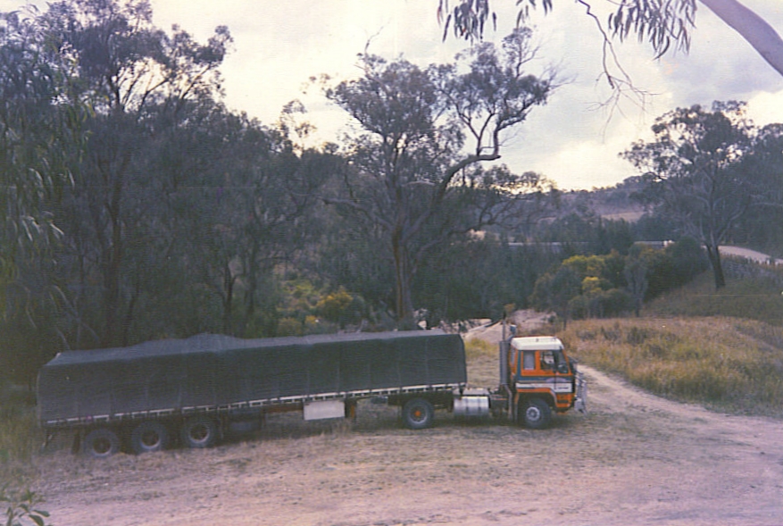
Marsden Transport at the Maryland River Bridge, Mt Lindesay Rd, NSW, Aust. c 1989

Marsden Transport at the Maryland River Bridge, Mt Lindesay Rd, NSW, Aust. c 1989

Gorge Tank to Cherry Gully

Cherry Gully

Cherry Gully to Teemangum

Undercliff Falls

Teemangum to Cherry Gully
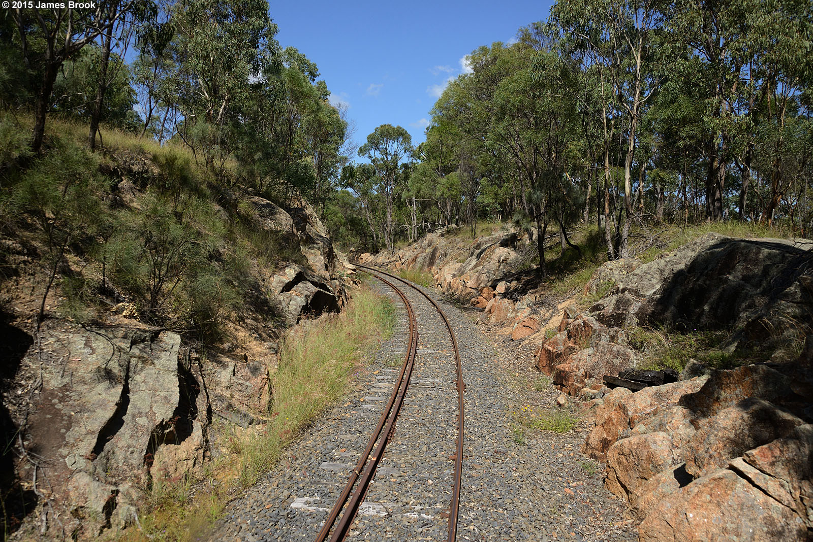
Teemangum to Cherry Gully

Cherry Gully to Teemangum

Teemangum to Cherry Gully

Cherry Gully to Teemangum

Cherry Gully to Teemangum
Teemangum to Cherry Gully

Teemangum to Cherry Gully

Cherry Gully

Teemangum to Cherry Gully

Teemangum to Cherry Gully

Teemangum to Cherry Gully

Planning a good night sleep at the Aloomba Lavender Farm tonight !! ????????????????#unplug #escape #thisisqueensland #dirtbagdarling @discoverqueensland #silence #shewentwild #escape #nature #photography #gotothemountains #outdo

Undercliffe Falls
Topographic Map of Cullendore NSW, Australia
Find elevation by address:

Places near Cullendore NSW, Australia:
7065 Mount Lindesay Rd
367 Wylie Creek Rd
Rivertree Road
263 Rivertree Rd
Liston
Ruby Creek
Cottonvale
190 Mckechnie Rd
Dalveen
276 Mckechnie Rd
Maryland
82 Border Gate Rd
Glen Niven
214 Ridge Rd
Applethorpe
192 Aerodrome Rd
137 Ellwood Rd
The Summit
162 Jollys Falls Rd
162 Jollys Falls Rd
Recent Searches:
- Elevation of Corso Fratelli Cairoli, 35, Macerata MC, Italy
- Elevation of Tallevast Rd, Sarasota, FL, USA
- Elevation of 4th St E, Sonoma, CA, USA
- Elevation of Black Hollow Rd, Pennsdale, PA, USA
- Elevation of Oakland Ave, Williamsport, PA, USA
- Elevation of Pedrógão Grande, Portugal
- Elevation of Klee Dr, Martinsburg, WV, USA
- Elevation of Via Roma, Pieranica CR, Italy
- Elevation of Tavkvetili Mountain, Georgia
- Elevation of Hartfords Bluff Cir, Mt Pleasant, SC, USA