Elevation of Rivertree Road, Rivertree Rd, Liston NSW, Australia
Location: Australia > New South Wales > Liston >
Longitude: 152.125190
Latitude: -28.642145
Elevation: 874m / 2867feet
Barometric Pressure: 91KPa
Elevation Map:
Satellite Map:
Related Photos:

Undercliff Falls

Water Views

Cook family

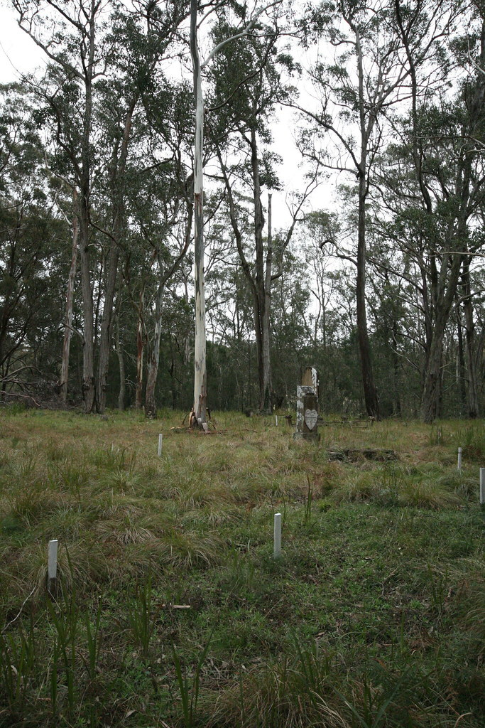
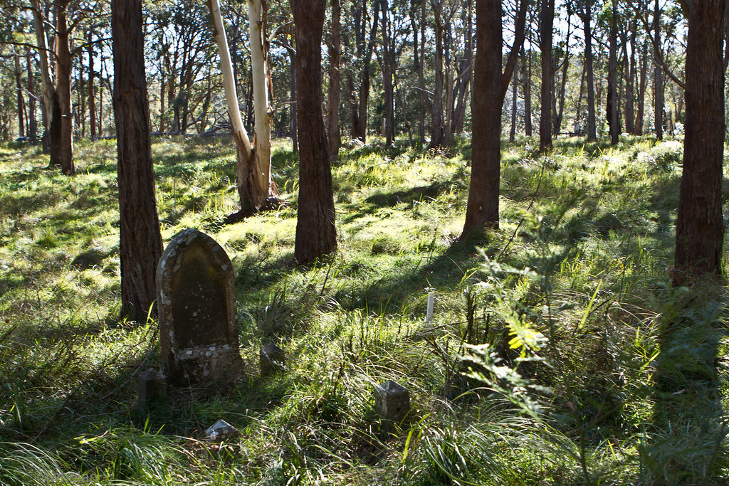
Abandoned Cemetery near Liston NSW
Wilson's Downfall

Wilson's Downfall

Reflections of a Queenslander
Of trees and light

Stanthorpe Airport, Queensland

Planning a good night sleep at the Aloomba Lavender Farm tonight !! ????????????????#unplug #escape #thisisqueensland #dirtbagdarling @discoverqueensland #silence #shewentwild #escape #nature #photography #gotothemountains #outdo

Storm King Dam Jetty

Undercliffe Falls

round we go again . . zzzz
Topographic Map of Rivertree Road, Rivertree Rd, Liston NSW, Australia
Find elevation by address:

Places near Rivertree Road, Rivertree Rd, Liston NSW, Australia:
263 Rivertree Rd
Liston
367 Wylie Creek Rd
Ruby Creek
190 Mckechnie Rd
276 Mckechnie Rd
Cullendore
7065 Mount Lindesay Rd
192 Aerodrome Rd
Applethorpe
Glen Niven
Maryland
214 Ridge Rd
175 Caves Rd
137 Ellwood Rd
Cottonvale
85 Passmore Rd
82 Border Gate Rd
The Summit
162 Jollys Falls Rd
Recent Searches:
- Elevation of Corso Fratelli Cairoli, 35, Macerata MC, Italy
- Elevation of Tallevast Rd, Sarasota, FL, USA
- Elevation of 4th St E, Sonoma, CA, USA
- Elevation of Black Hollow Rd, Pennsdale, PA, USA
- Elevation of Oakland Ave, Williamsport, PA, USA
- Elevation of Pedrógão Grande, Portugal
- Elevation of Klee Dr, Martinsburg, WV, USA
- Elevation of Via Roma, Pieranica CR, Italy
- Elevation of Tavkvetili Mountain, Georgia
- Elevation of Hartfords Bluff Cir, Mt Pleasant, SC, USA