Elevation of Cottonvale NSW, Australia
Location: Australia > New South Wales > Tenterfield Shire Council >
Longitude: 151.972608
Latitude: -28.522949
Elevation: 905m / 2969feet
Barometric Pressure: 91KPa
Elevation Map:
Satellite Map:
Related Photos:

Bride and bridesmaids standing in front of a Holden, ca. 1951

Elegantly dressed ladies and small child watching Winstead Falls flowing through granite rocks north of Stanthorpe, 1909

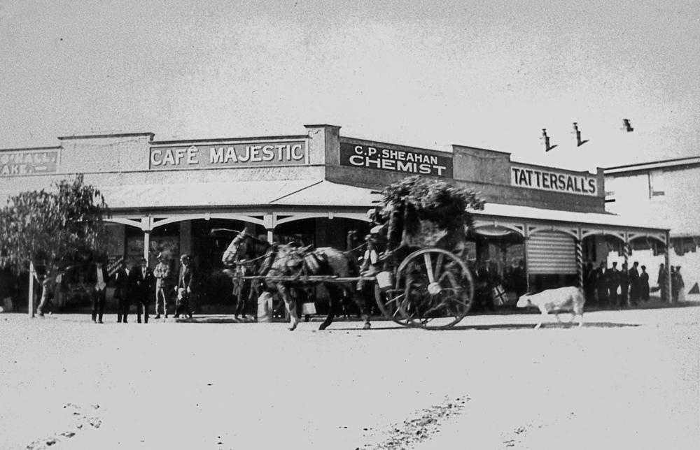
View of Maryland Street in Stanthorpe, 1872
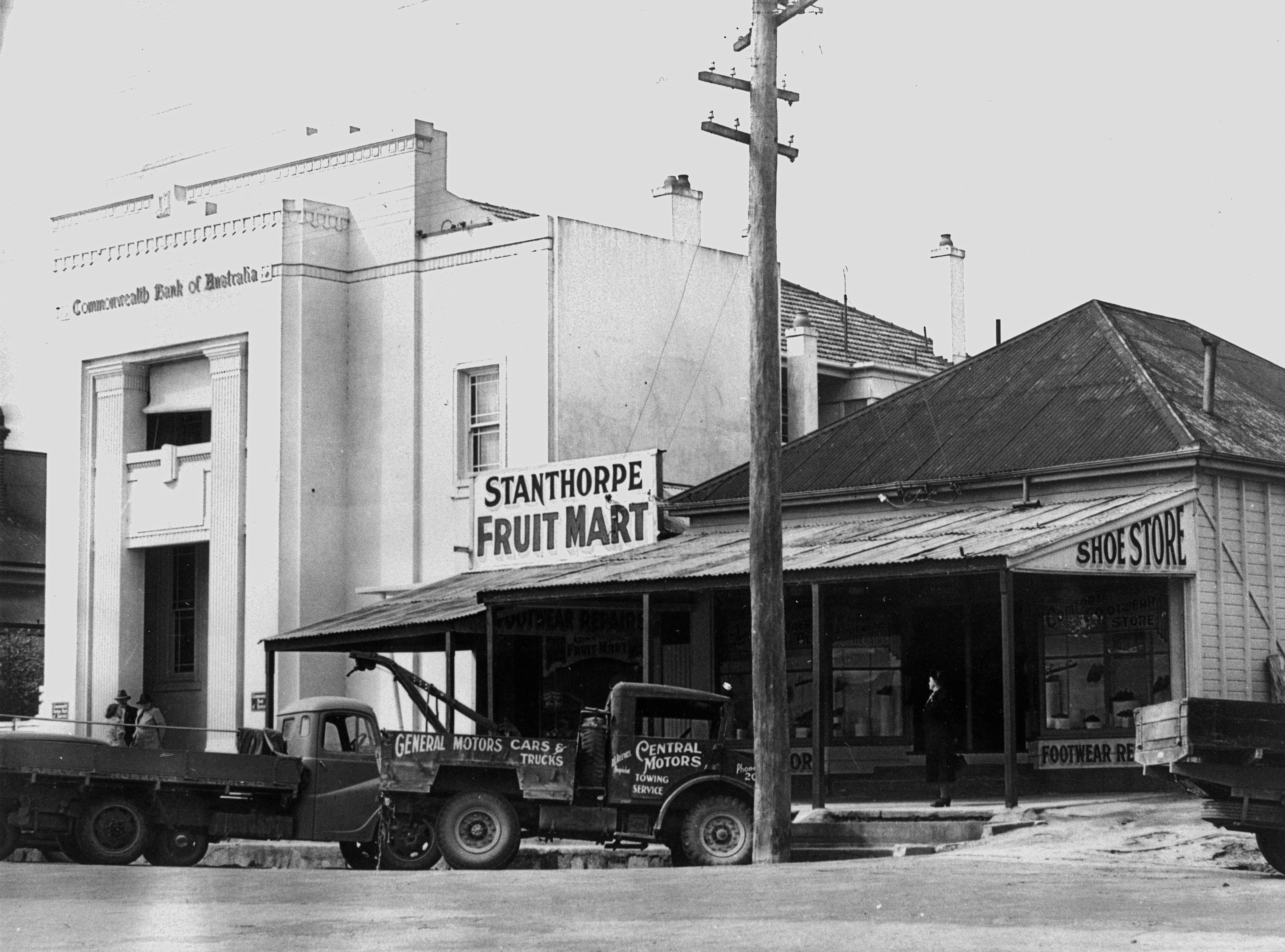
New Commonwealth Bank building in Maryland Street, Stanthorpe ca.1940
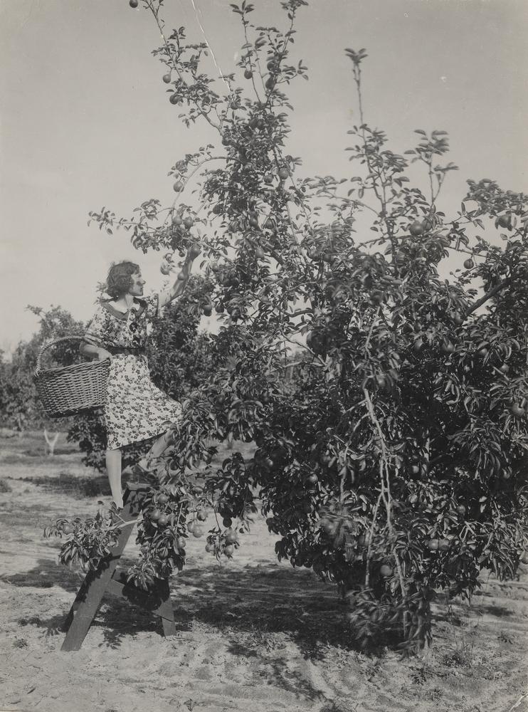
A partridge in a pear tree (just a pear tree)

Henry Bott

Cherry Gully to Teemangum

Family group with a baby rabbit, 1949

Michael Slattery
Peace Procession in Stanthorpe, July 1919

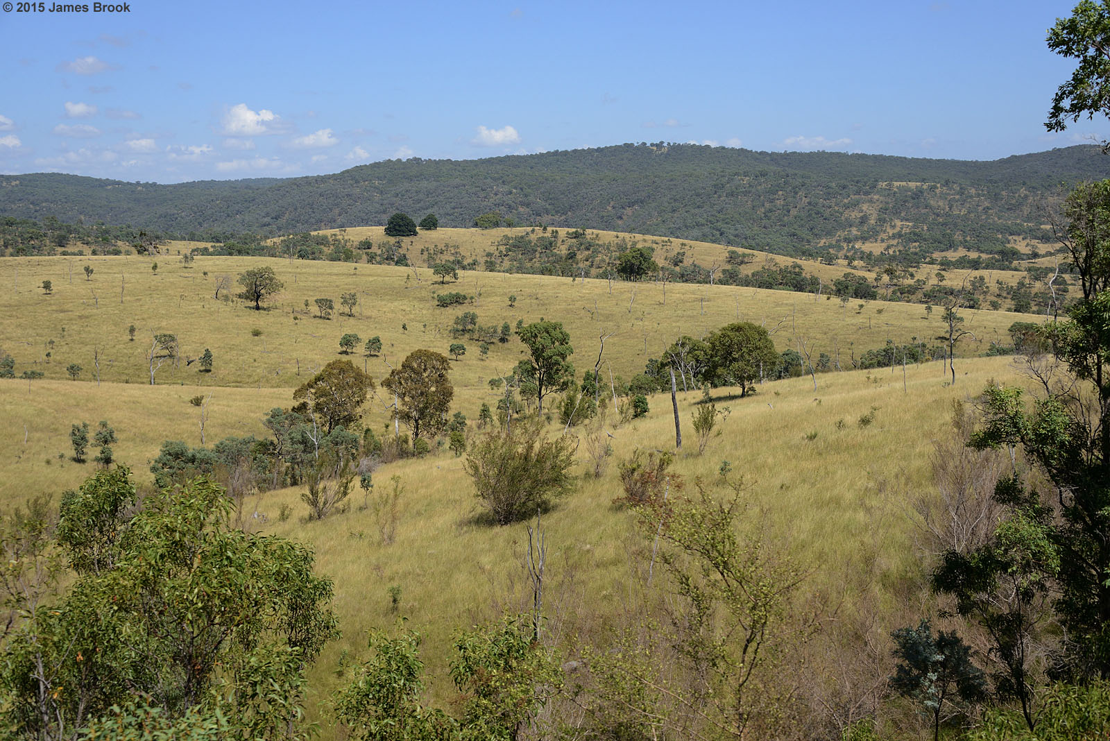
The Summit

Gibbs and Emerick, signwriters, household painters, plumbers, glaziers and paper hangers, Maryland Street, ca. 1872

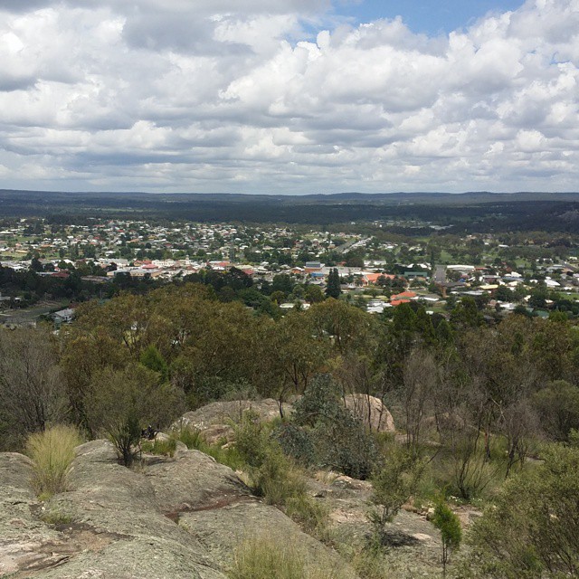
Stanthorpe from Mount Marley lookout

Crowds at the Stanthorpe showgrounds

Gorge Tank to Cherry Gully

Stanthorpe Town Band, Queensland, 1930

stanthorpe qld antennas

Gorge Tank to Cherry Gully

Party after a game of bocce, Thulimbah, ca. 1949

Crowd at the Stanthorpe Agricultural Show, 1905

Prospectors with a portable steam engine on the Stanthorpe tin field

Reflections of a Queenslander

Cherry Gully to Gorge Tank

Snow covered landscape, looking towards Stanthorpe from Mount Marlay, 1925
Rolling along

Miners working at St. Leonard's Tin Mine, Sugarloaf Creek near Stanthorpe, ca. 1873

Stanthorpe from Mt Marlay Lookout

Stanthorpe Airport, Queensland

Cherry Gully to Gorge Tank

Blue-faced Honeyeater

Cherry Gully to Gorge Tank

The vista

A fight!

Cherry Gully to Gorge Tank

A local

Stanthorpe from Mt Marlay Lookout

Not really dingy

Stanthorpe Information Centre on Quart Pot Creek
Gorge Tank to Silverwood

Wot a face?
Views of Stanthorpe.

Cherry Gully to Gorge Tank
Topographic Map of Cottonvale NSW, Australia
Find elevation by address:

Places near Cottonvale NSW, Australia:
82 Border Gate Rd
Dalveen
Maryland
214 Ridge Rd
Glen Niven
The Summit
162 Jollys Falls Rd
162 Jollys Falls Rd
276 Mckechnie Rd
190 Mckechnie Rd
137 Ellwood Rd
Ruby Creek
Applethorpe
895 Sorrento Rd
192 Aerodrome Rd
175 Caves Rd
85 Passmore Rd
367 Wylie Creek Rd
Liston
263 Rivertree Rd
Recent Searches:
- Elevation of Corso Fratelli Cairoli, 35, Macerata MC, Italy
- Elevation of Tallevast Rd, Sarasota, FL, USA
- Elevation of 4th St E, Sonoma, CA, USA
- Elevation of Black Hollow Rd, Pennsdale, PA, USA
- Elevation of Oakland Ave, Williamsport, PA, USA
- Elevation of Pedrógão Grande, Portugal
- Elevation of Klee Dr, Martinsburg, WV, USA
- Elevation of Via Roma, Pieranica CR, Italy
- Elevation of Tavkvetili Mountain, Georgia
- Elevation of Hartfords Bluff Cir, Mt Pleasant, SC, USA