Elevation of Swan Creek QLD, Australia
Location: Australia > Queensland > Southern Downs Regional >
Longitude: 152.141
Latitude: -28.193
Elevation: 475m / 1558feet
Barometric Pressure: 96KPa
Elevation Map:
Satellite Map:
Related Photos:

Strops morning view

St Mary's Church • Warwick • Queensland

St Mary

St Mary

View from the verandah at Glengallan homestead near Warwick, Qld

Yangan Cheese Factory exhibit at an agricultural show, 1894

Warwick Methodist Band

Glengallan Homestead Servants Quarters

Two gentlemen pictured outside the Queensland National Bank in Yangan, 1901

View from the verandah at Glengallan homestead near Warwick, Qld.

Glengallan Homestead
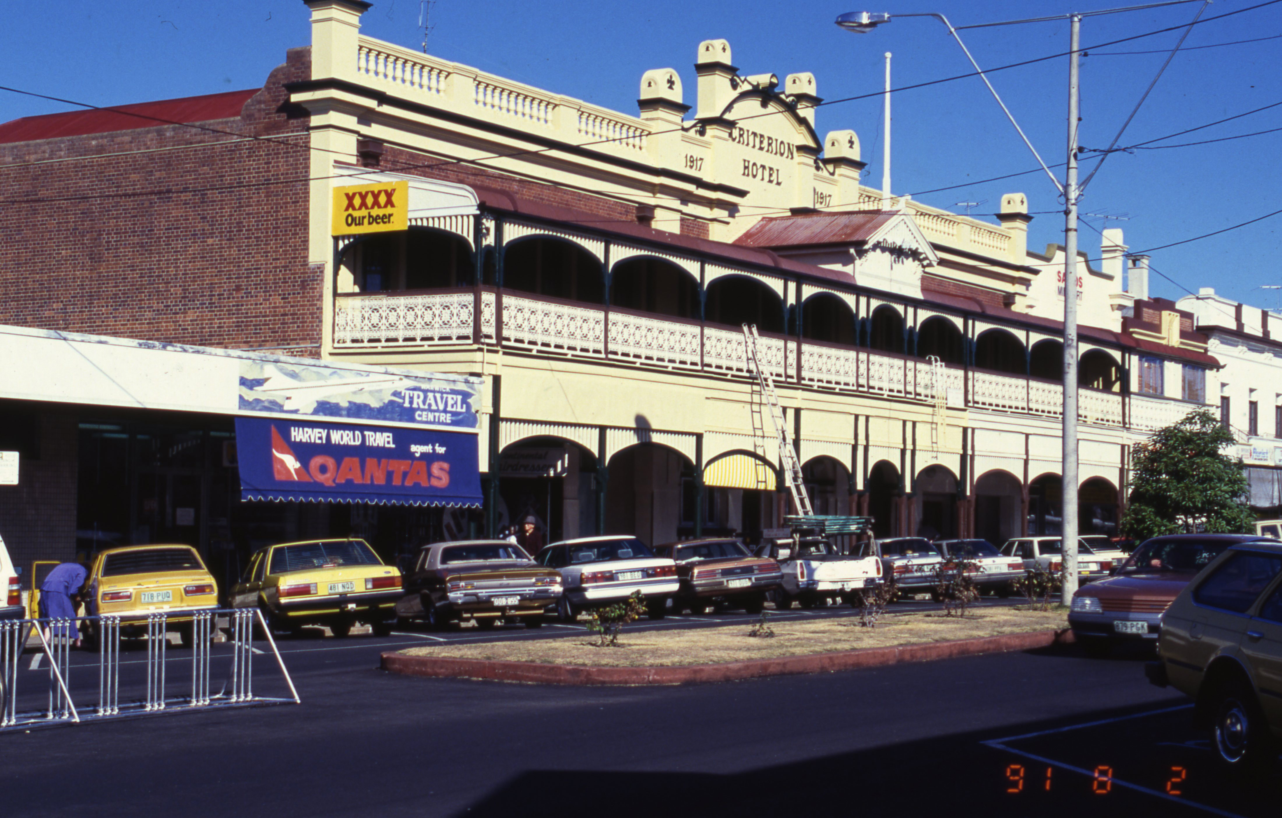
Criterion Hotel, Warwick

On the way to Cunningham's Gap

Jack Howe Australias first clown

Woman wearing a large feathered hat and boa, posing for a portrait, 1900-1910

Plan of the town of Warwick, Parish of Warwick, County of Merivale, District of Darling Downs, Queensland

Warwick Town Band around 1912

Lawn tennis court at Glengallan homestead near Warwick, Qld

Nursing staff and the Methodist brass band outside Warwick hospital, ca. 1906

Aerial view of Palmerin Street Warwick 1928

Approaching Warwick

Shed & Star Trail

Warwick, Queensland

Tree at Warwick, Queensland

Warwick, Queensland

These two...
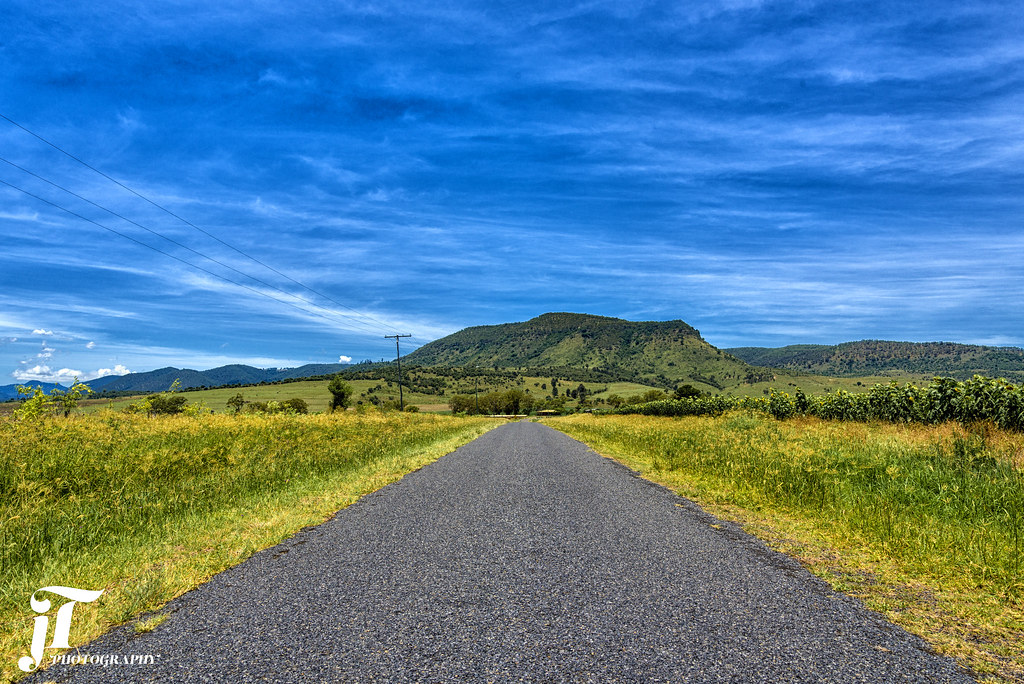
Road to the Mountain

Flooded paddock

rapeseed field near Tannymorel, SEQ
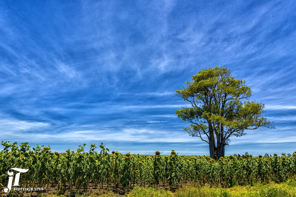
Sunflower Field

Condamine River floods

Warwick QLD Railway Goods Shed

Airoh Round 4 Warwick

Sunset across the flooded Condamine River

Airoh Round 4 Warwick

Railway bridge underwater
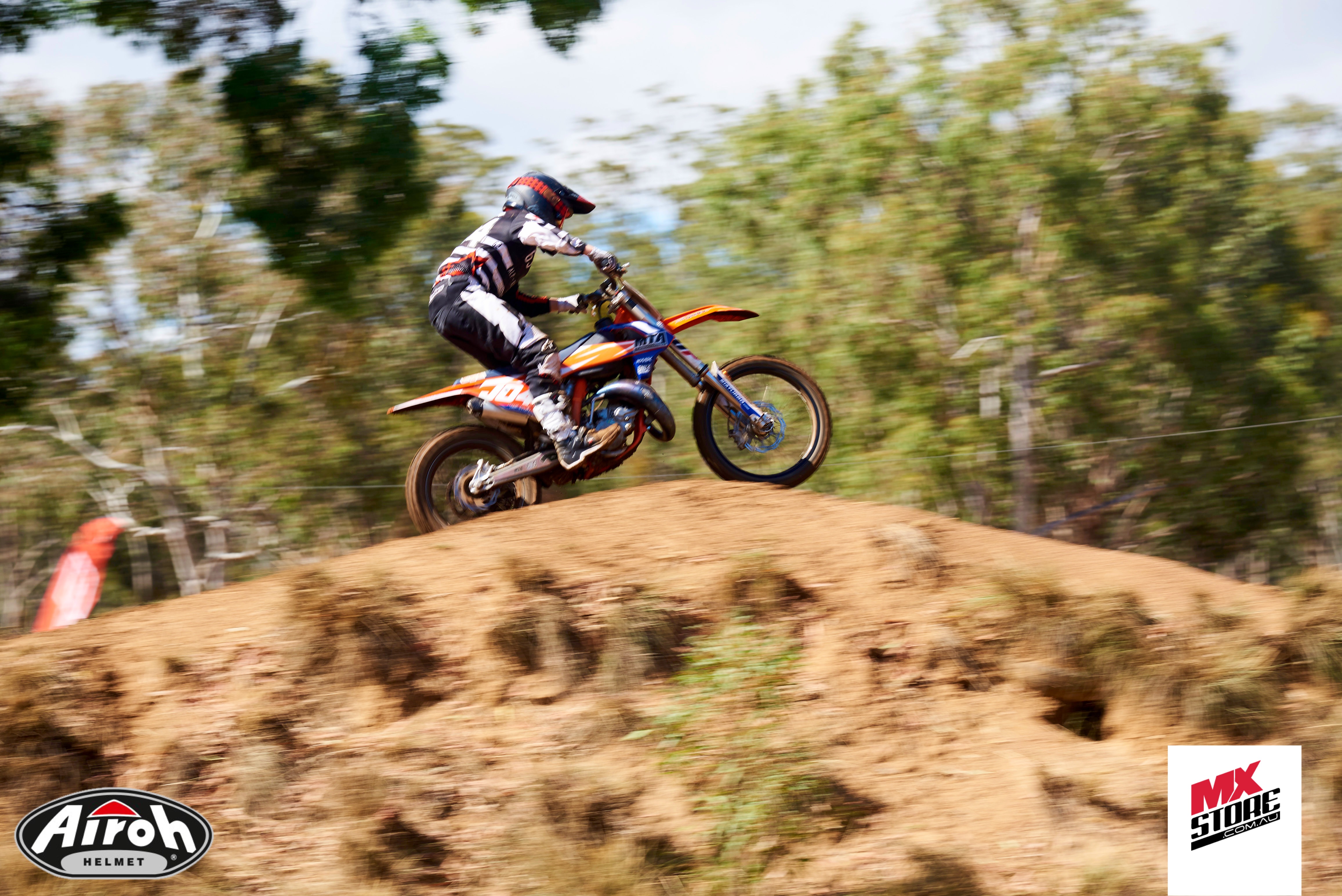
Airoh Round 4 Warwick

Airoh Round 4 Warwick
Topographic Map of Swan Creek QLD, Australia
Find elevation by address:

Places near Swan Creek QLD, Australia:
1115 Warwick Yangan Rd
Yangan
44 Yangan Killarney Rd
4 Swanfels Rd
Upper Freestone
72 Curtain Ave
Emu Vale
58 Grafton St
13 Cullendore Rd
School Emu Vale
40 Ipomea St
Warwick
41 Azalea St
571 Swanfels Rd
Swanfels
Murrays Bridge
7 Lookout Pl
Tannymorel
167 Caunter Rd
300 Mardon Rd
Recent Searches:
- Elevation of Corso Fratelli Cairoli, 35, Macerata MC, Italy
- Elevation of Tallevast Rd, Sarasota, FL, USA
- Elevation of 4th St E, Sonoma, CA, USA
- Elevation of Black Hollow Rd, Pennsdale, PA, USA
- Elevation of Oakland Ave, Williamsport, PA, USA
- Elevation of Pedrógão Grande, Portugal
- Elevation of Klee Dr, Martinsburg, WV, USA
- Elevation of Via Roma, Pieranica CR, Italy
- Elevation of Tavkvetili Mountain, Georgia
- Elevation of Hartfords Bluff Cir, Mt Pleasant, SC, USA