Elevation of Glenlyon QLD, Australia
Location: Australia > Queensland > Southern Downs Regional >
Longitude: 151.445639
Latitude: -28.971803
Elevation: 489m / 1604feet
Barometric Pressure: 96KPa
Elevation Map:
Satellite Map:
Related Photos:
Day 4

Day 4
Day 4

The valley of the Severn.

Ooline Gorge

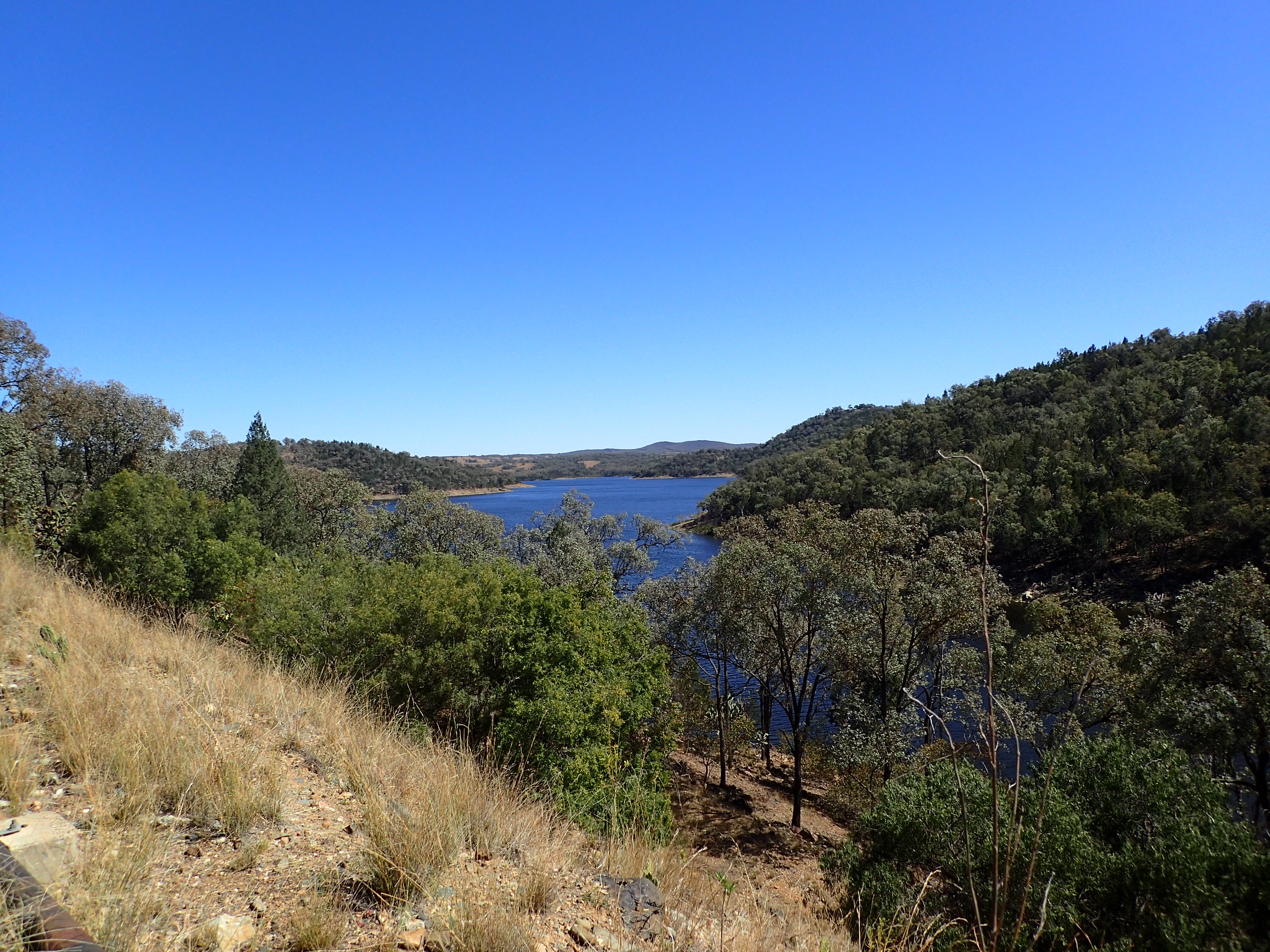
Glenlyon Dam
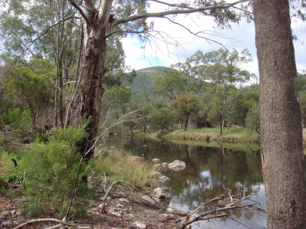
Permanent Waterhole

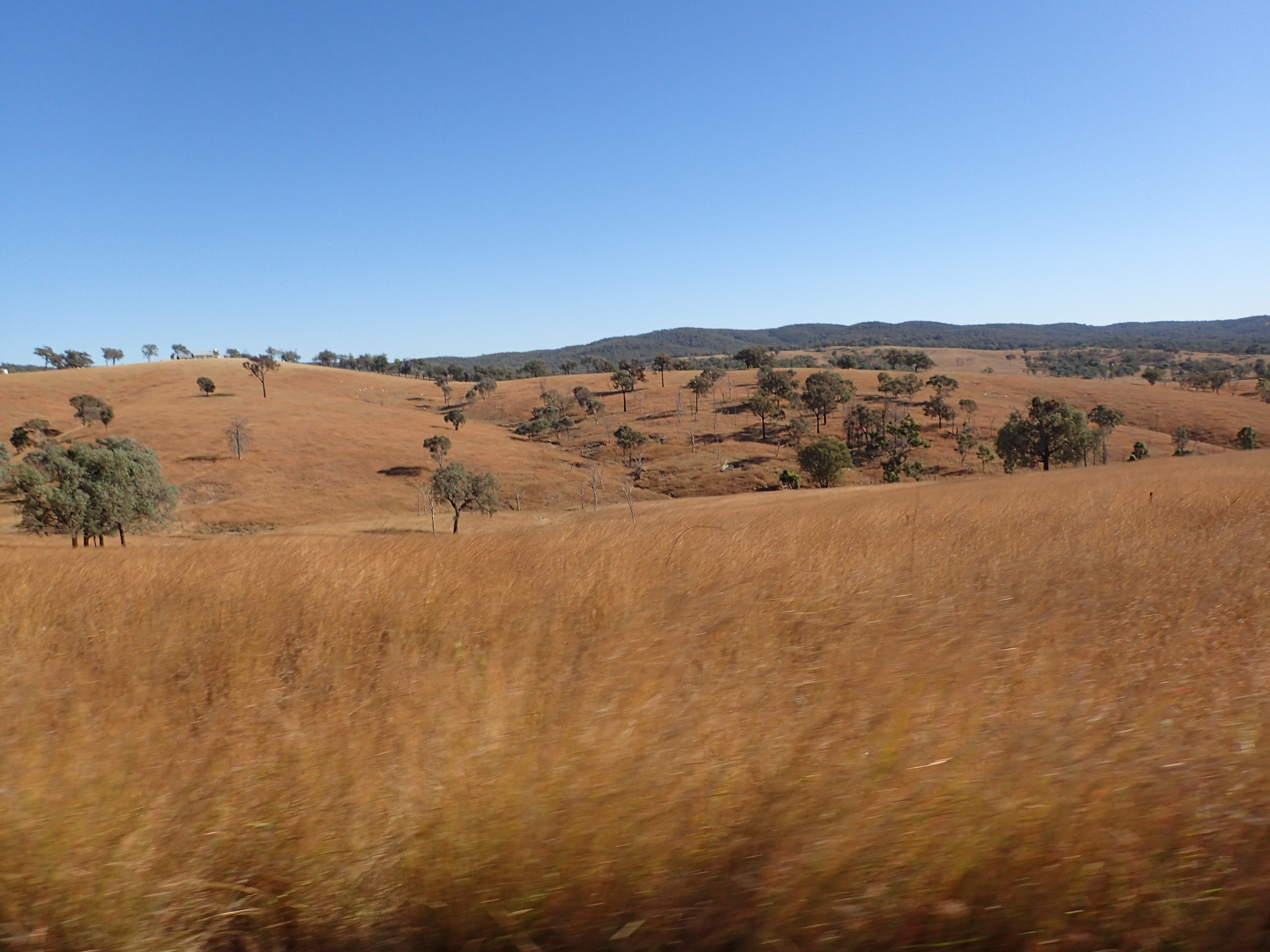
Rural Scene

Sundown NP from West

ALBAWOLF - WP_20150310_12_39_45_Pro

Pied Currawong

Jacky Winter

Day 4

Day 4

Day 4

Day 4

Day 4
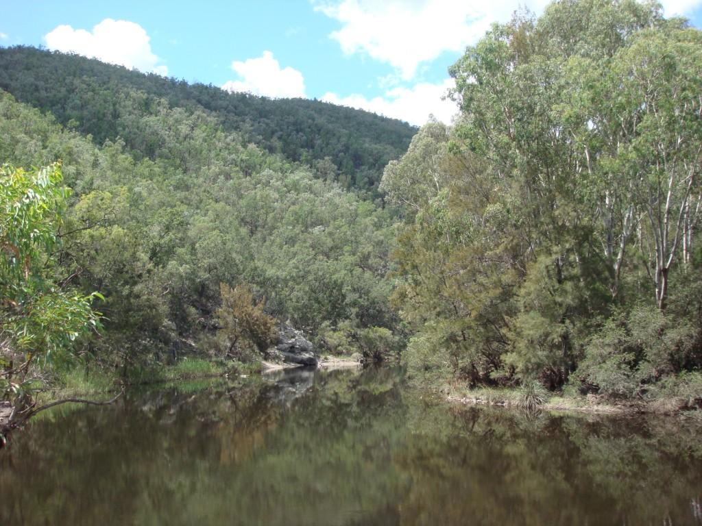
Severn River

Ironbark Forest

Ooline Creek

Glenlyon Dam

Pretty little border crossing. Is it 2:37pm or 3:37pm?
Topographic Map of Glenlyon QLD, Australia
Find elevation by address:

Places in Glenlyon QLD, Australia:
Places near Glenlyon QLD, Australia:
Glenlyon Dam
6281 Texas Road
Ballandean
Emmaville
1064 Gulf Rd
160 Watters Rd
Fletcher
1512 Texas Rd
364 Mount Stirling Rd
Emmaville Mining Museum
16 Inverell Rd
Amiens
216 Butler Rd
Bapaume
675 Cannon Creek Rd
1275 Nant Park Rd
46 Tenterfield St
Deepwater
Warialda
Recent Searches:
- Elevation of Corso Fratelli Cairoli, 35, Macerata MC, Italy
- Elevation of Tallevast Rd, Sarasota, FL, USA
- Elevation of 4th St E, Sonoma, CA, USA
- Elevation of Black Hollow Rd, Pennsdale, PA, USA
- Elevation of Oakland Ave, Williamsport, PA, USA
- Elevation of Pedrógão Grande, Portugal
- Elevation of Klee Dr, Martinsburg, WV, USA
- Elevation of Via Roma, Pieranica CR, Italy
- Elevation of Tavkvetili Mountain, Georgia
- Elevation of Hartfords Bluff Cir, Mt Pleasant, SC, USA