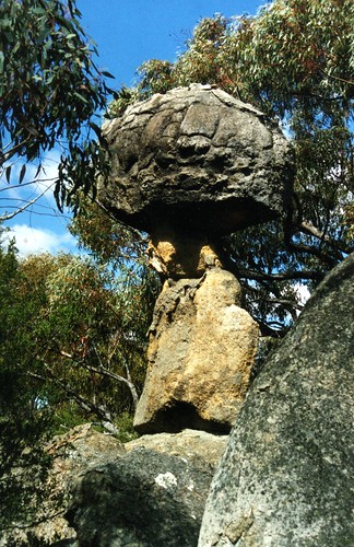
Elevation of Emmaville NSW, Australia
Location: Australia > New South Wales > Glen Innes Severn Shire Council >
Longitude: 151.611440
Latitude: -29.371779
Elevation: 772m / 2533feet
Barometric Pressure: 92KPa
Related Photos:
Topographic Map of Emmaville NSW, Australia
Find elevation by address:

Places near Emmaville NSW, Australia:
1064 Gulf Rd
Emmaville Mining Museum
16 Inverell Rd
1275 Nant Park Rd
46 Tenterfield St
Deepwater
Glenlyon Dam
Glenlyon
6281 Texas Road
Ballandean
160 Watters Rd
Fletcher
364 Mount Stirling Rd
1512 Texas Rd
Amiens
216 Butler Rd
675 Cannon Creek Rd
Bapaume
Warialda
Recent Searches:
- Elevation of Corso Fratelli Cairoli, 35, Macerata MC, Italy
- Elevation of Tallevast Rd, Sarasota, FL, USA
- Elevation of 4th St E, Sonoma, CA, USA
- Elevation of Black Hollow Rd, Pennsdale, PA, USA
- Elevation of Oakland Ave, Williamsport, PA, USA
- Elevation of Pedrógão Grande, Portugal
- Elevation of Klee Dr, Martinsburg, WV, USA
- Elevation of Via Roma, Pieranica CR, Italy
- Elevation of Tavkvetili Mountain, Georgia
- Elevation of Hartfords Bluff Cir, Mt Pleasant, SC, USA


