Elevation of Dalcouth QLD, Australia
Location: Australia > Queensland > Southern Downs Regional >
Longitude: 151.987246
Latitude: -28.657531
Elevation: 897m / 2943feet
Barometric Pressure: 91KPa
Elevation Map:
Satellite Map:
Related Photos:

Olives & Fudge

Bride and bridesmaids standing in front of a Holden, ca. 1951

Elegantly dressed ladies and small child watching Winstead Falls flowing through granite rocks north of Stanthorpe, 1909

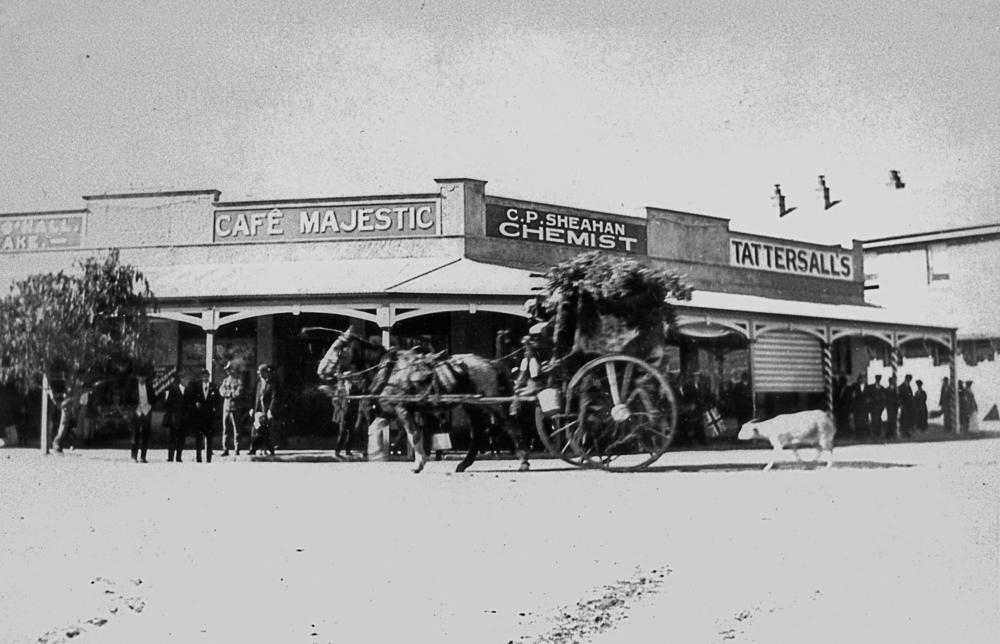
View of Maryland Street in Stanthorpe, 1872

Essex car parked
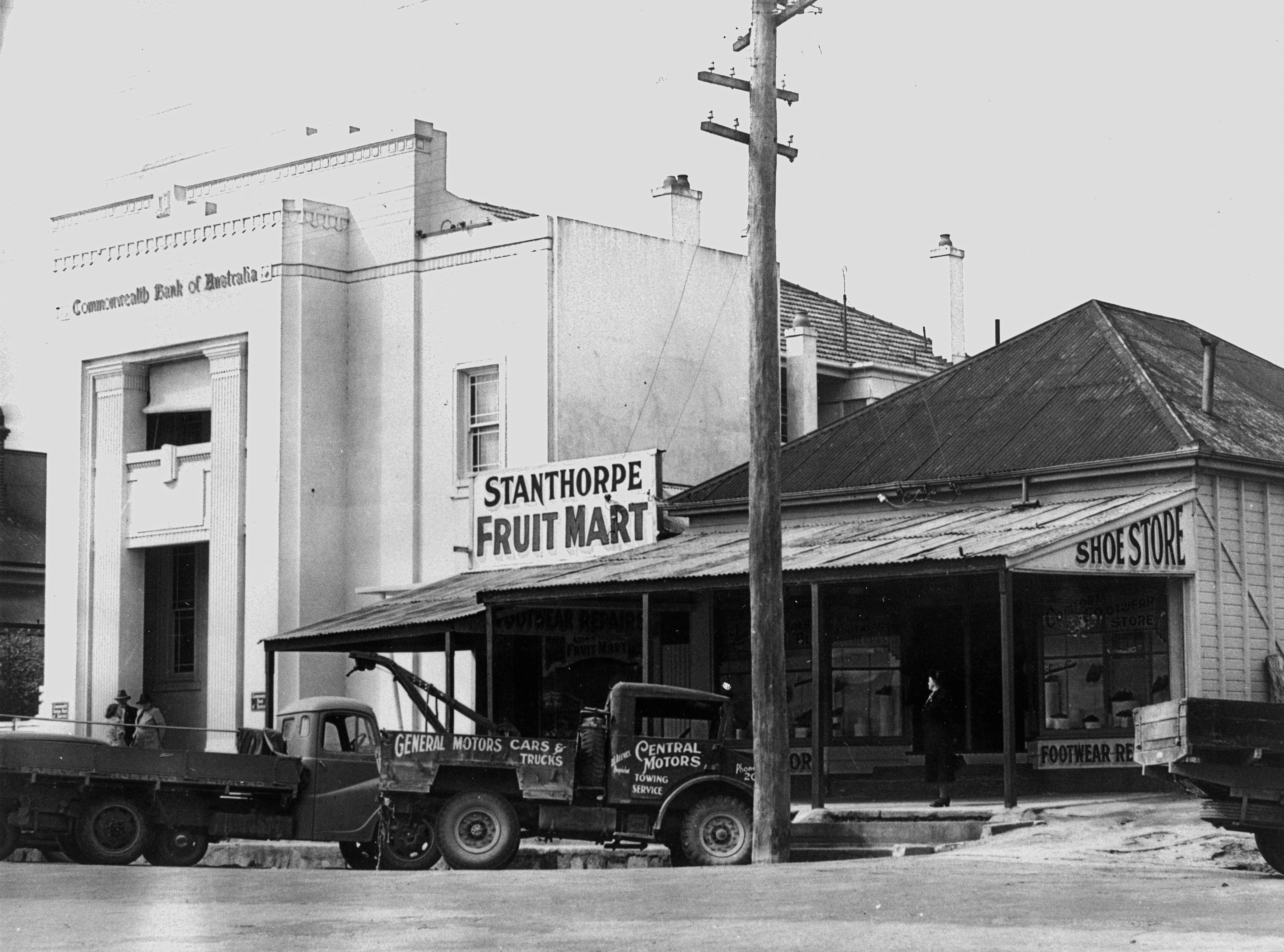
New Commonwealth Bank building in Maryland Street, Stanthorpe ca.1940
A partridge in a pear tree (just a pear tree)

Henry Bott

Family group with a baby rabbit, 1949

Michael Slattery
Peace Procession in Stanthorpe, July 1919

The Summit

Stanthorpe from Mount Marley lookout

Crowds at the Stanthorpe showgrounds

stanthorpe qld antennas

Stanthorpe Town Band, Queensland, 1930

Party after a game of bocce, Thulimbah, ca. 1949

Crowd at the Stanthorpe Agricultural Show, 1905

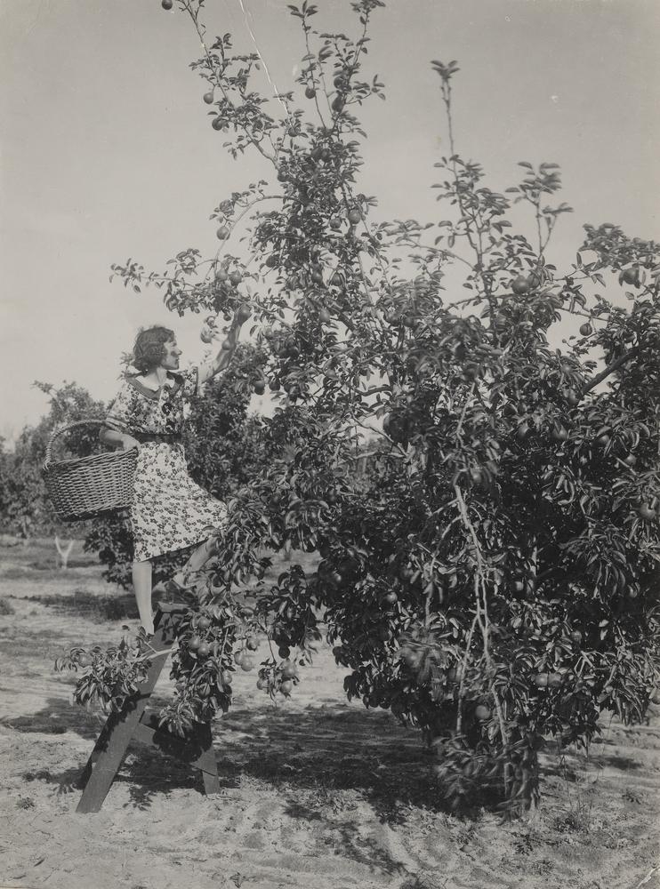
Grape picking in Stanthorpe, ca. 1940

Two women and a clump of prickly pear bushes, ca. 1940

Stanthorpe's first school, ca. 1872

The Granite Belt By Night

313 The Junction Girraween National Park 13 pic-Panorama

Second Pyramid, Girraween National Park

Reflections of a Queenslander

Stanthorpe, Queensland

57/365

Cook family

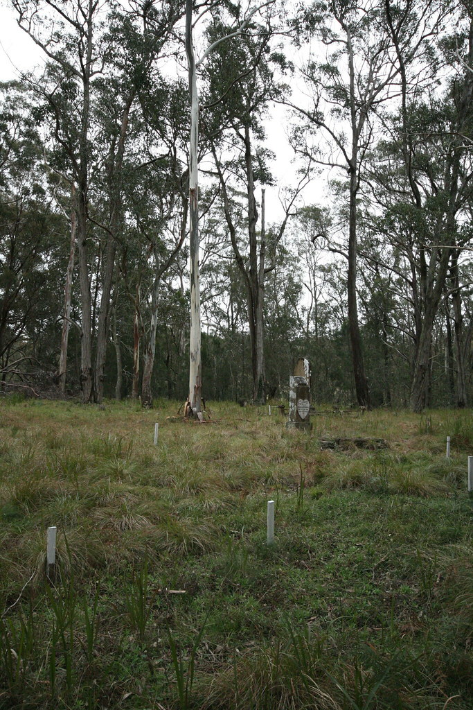
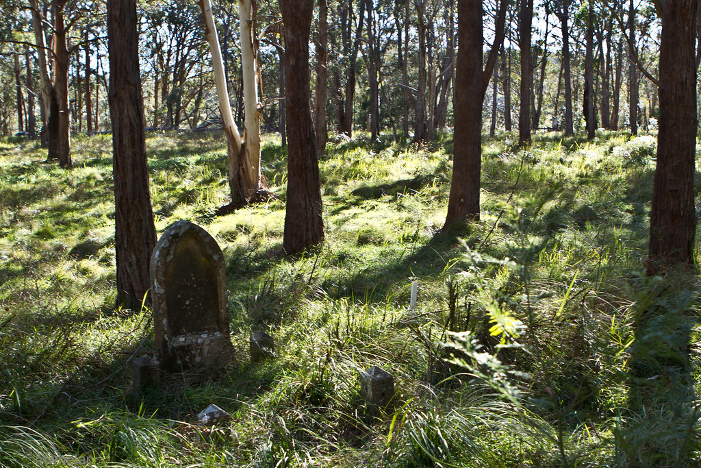
Abandoned Cemetery near Liston NSW

Severn River Glen Aplin

Snow covered landscape, looking towards Stanthorpe from Mount Marlay, 1925

Wilson's Downfall
Wilson's Downfall
Of trees and light
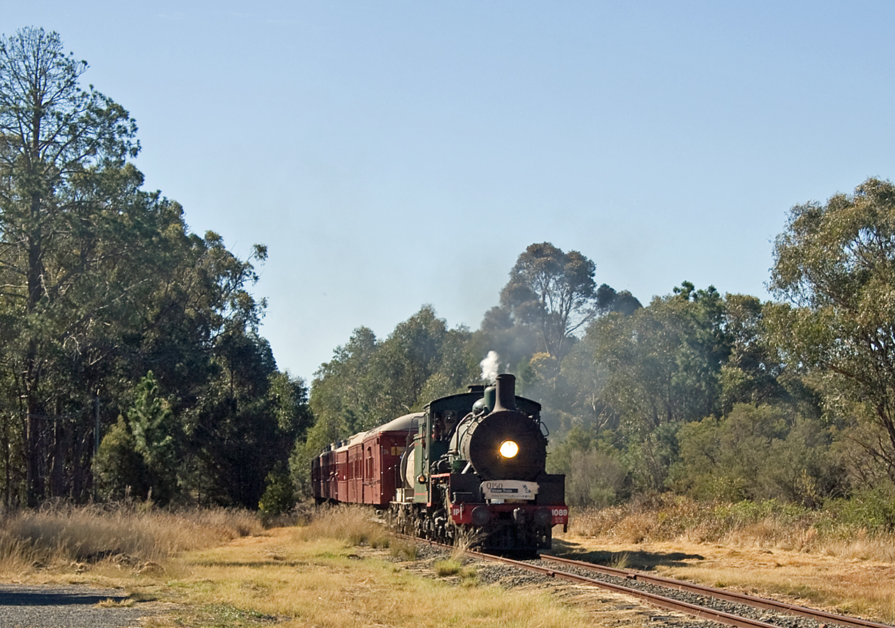
Rolling along

Miners working at St. Leonard's Tin Mine, Sugarloaf Creek near Stanthorpe, ca. 1873

Stanthorpe Airport, Queensland

Stanthorpe from Mt Marlay Lookout

The vista

A fight!

A local

Stanthorpe from Mt Marlay Lookout
Topographic Map of Dalcouth QLD, Australia
Find elevation by address:

Places near Dalcouth QLD, Australia:
332 Dalcouth Rd
276 Dalcouth Rd
Kyoomba
752 Sugarloaf Rd
885 Sugarloaf Rd
Stanthorpe
85 Nielsens Rd
Neville Lane
Neville Lane
Sugarloaf
Storm King
Brown Gully Road
Cypress Drive
Sunrise Road
862 Eukey Rd
51 Francia Ln
Glen Aplin
13 Micale Ln
189 Limberlost Rd
379 Watters Rd
Recent Searches:
- Elevation of Corso Fratelli Cairoli, 35, Macerata MC, Italy
- Elevation of Tallevast Rd, Sarasota, FL, USA
- Elevation of 4th St E, Sonoma, CA, USA
- Elevation of Black Hollow Rd, Pennsdale, PA, USA
- Elevation of Oakland Ave, Williamsport, PA, USA
- Elevation of Pedrógão Grande, Portugal
- Elevation of Klee Dr, Martinsburg, WV, USA
- Elevation of Via Roma, Pieranica CR, Italy
- Elevation of Tavkvetili Mountain, Georgia
- Elevation of Hartfords Bluff Cir, Mt Pleasant, SC, USA