Elevation of Sunrise Road, Sunrise Rd, Sugarloaf QLD, Australia

Location: Australia > Queensland > Southern Downs Regional > Sugarloaf >

Longitude: 152.052579

Latitude: -28.712344

Elevation: 968m / 3176feet

Barometric Pressure: 90KPa

Elevation Map:

elevation map of Sunrise Road, Sunrise Rd, Sugarloaf QLD, Australia

Satellite Map:

Satellite map of Sunrise Road, Sunrise Rd, Sugarloaf QLD, Australia

Related Photos:

australia balancingrock girraweennationalpark granitebelt luminar4 qld queensland thepyramids granite skyreplacement bushwalking
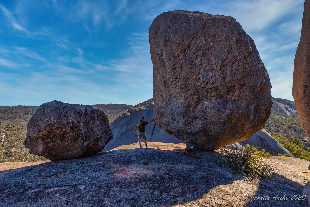
Balancing Rock on the Pyramid
rocks pyramid australia queensland granite girraweennationalpark girraween
The climb of Pyramid
panorama pano australia queensland girraweennationalpark girraween easyhdr
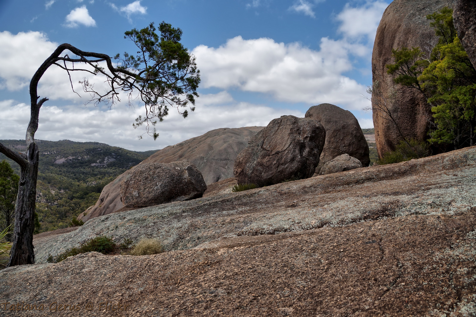
Panorama view from Pyramid. Girraween
queensland statelibraryofqueensland slq bride bridesmaid holden holdenfx lillies italians stanthorpe
Bride and bridesmaids standing in front of a Holden, ca. 1951
banks queensland australia stanthorpe statelibraryofqueensland slq
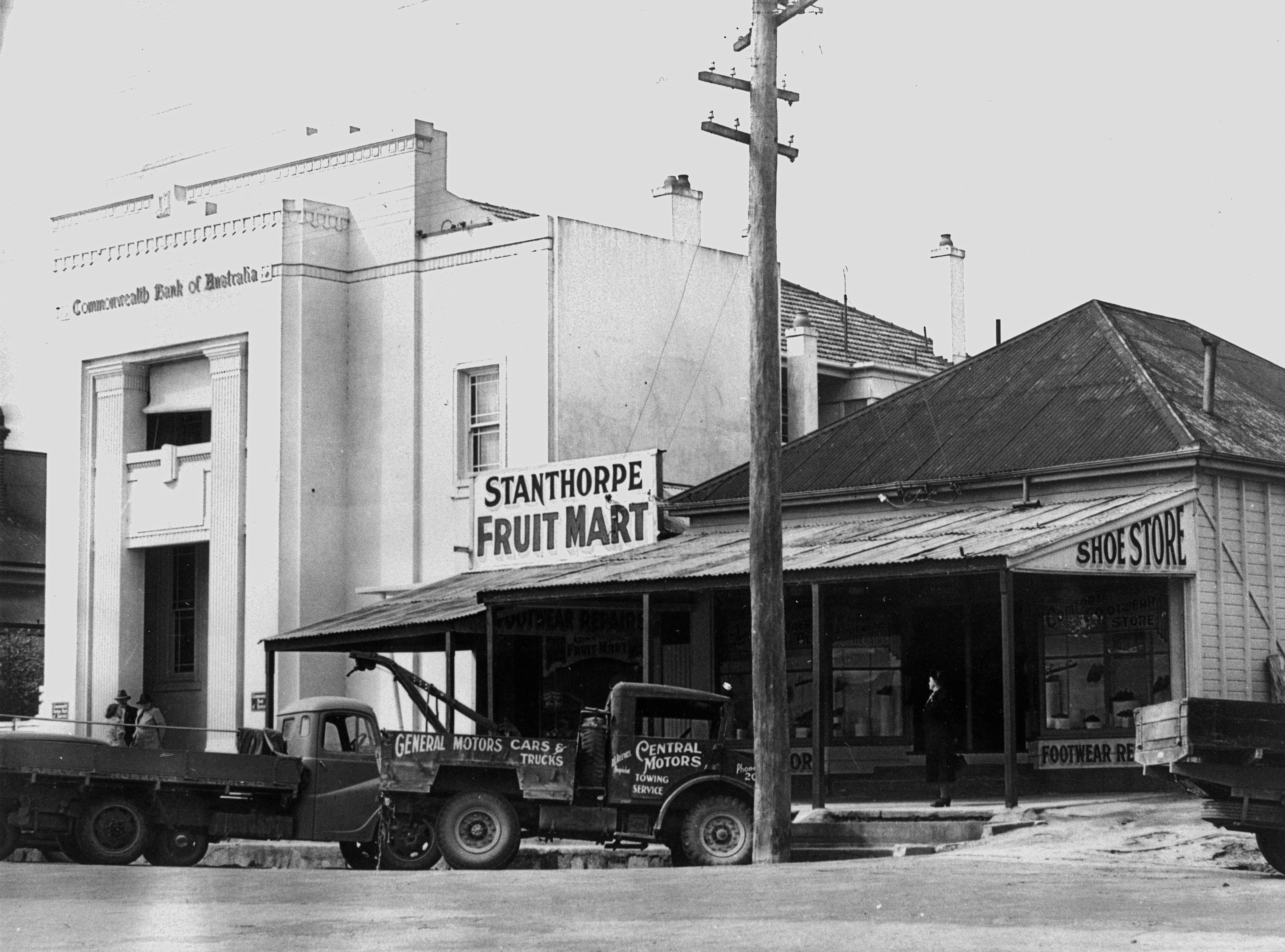
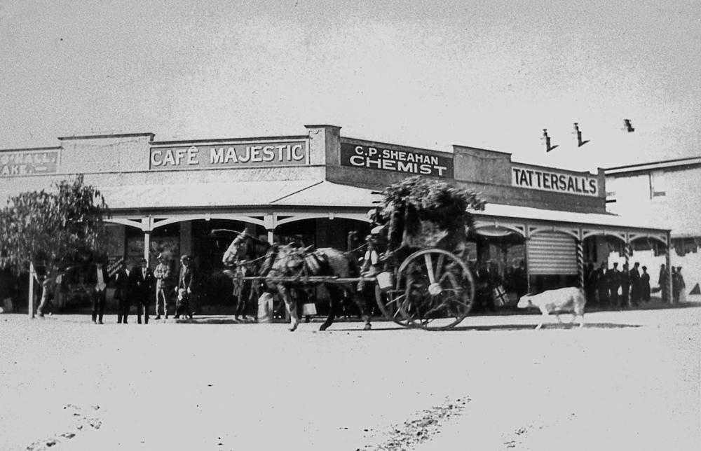
New Commonwealth Bank building in Maryland Street, Stanthorpe ca.1940
rock australia boulder queensland 1x1 girraweennationalpark girraween
View from the Pyramid. Girraween National Park
christmas pears queensland christmascarol peartree twelvedaysofchristmas statelibraryofqueensland slq
A partridge in a pear tree (just a pear tree)
queensland statelibraryofqueensland beards men mensclothingandaccessories teamster selector farmer bushy
Henry Bott
portraits queensland moustaches miners statelibraryofqueensland slq awesomemoustachesofthecommons
Michael Slattery
queensland statelibraryofqueensland ww1 worldwari firstworldwar armistice peace celebrations peaceday parade procession horse cart goat cafe
Peace Procession in Stanthorpe, July 1919
signs photographer signage queensland statelibraryofqueensland stanthorpe advertisingsigns slq barkhuts williamboag breadcarts
Gibbs and Emerick, signwriters, household painters, plumbers, glaziers and paper hangers, Maryland Street, ca. 1872
tents hats fences queensland 1915 crowds statelibraryofqueensland showgrounds stanthorpe slq
Crowds at the Stanthorpe showgrounds
queensland brass band instrument horn uniforms drums tuba trumpet
Stanthorpe Town Band, Queensland, 1930
geotagged dish australia telstra queensland feed mast microwave antenna parabolic antennas feeds stanthorpe geolon1519325 mgjefferies stanthorpeviews geolat286554
stanthorpe qld antennas
agricultural exhibition horses wagon children women showground
Crowd at the Stanthorpe Agricultural Show, 1905
rock nationalpark hiking framed australia lookout qld girraween
Girraween, view from The Pyramids
photographer minerals queensland tinmines statelibraryofqueensland steamengines prospectors slq williamboag
Prospectors with a portable steam engine on the Stanthorpe tin field
family italian wine harvest 1940s grapes queensland immigrants winemaking italians statelibraryofqueensland costanzo stanthorpe immigrations slq
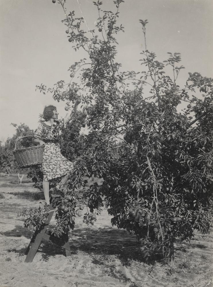
Grape picking in Stanthorpe, ca. 1940
queensland clubs 1915 officials statelibraryofqueensland associations stanthorpe societies mensclothing slq
Stanthorpe Show Society members outside the Secretary’s office
snow landscapes views queensland towns statelibraryofqueensland stanthorpe slq
Snow covered landscape, looking towards Stanthorpe from Mount Marlay, 1925
statelibraryofqueensland williamboag photographer corrugatedironroofs telegraphstations waterbarrel weatherboards slq queensland 1872 stanthorpe telegraphpole telegraphoffice johnson dalby
Unidentified building, Stanthorpe, 1872
australia baldrock baldrocknationalpark granitebelt mountlindesay newsouthwales bushland forest granite granitemonolith inselberg landscape monolith rock vista
Bald Rock
girraweennationalpark girraween queensland pyramid myself australia rocks granite selftimer автоспуск balancingrock 30
At the top of the Pyramid, with Balancing Rock
park morning trees winter sky mountain rock clouds sunrise dawn nikon rocks walk bald australia boulders national lee nsw granite newsouthwales nikkor filters 1424mmf28 d800e
Bald Rock Sunrise
blue trees house lake reflection 120 film water century mediumformat landscape pond bush fuji graphic dam australia queensland 6x9 medium format reala queenslander graphlex stanthorpe applethorpe
Reflections of a Queenslander
clouds hdr iphone uploaded:by=flickrmobile flickriosapp:filter=nofilter
57/365
landscape photographer mines queensland miners statelibraryofqueensland slq williamboag
Miners working at St. Leonard's Tin Mine, Sugarloaf Creek near Stanthorpe, ca. 1873
queensland australia au
Stanthorpe from Mt Marlay Lookout
longexposure waterfall nationalpark australia newsouthwales tenterfield paulhollins nikond610
Boonoo Boonoo Falls
panorama landscape australia queensland australie twop girraweennationalpark girraween
Girraween National Park
longexposure stars nikon df milkyway stanthorpe southeastqueensland granitebelt starrysky
The Granite Belt By Night
travel panorama holiday nature water fun nationalpark reisen weekend urlaub australia queensland granite girraween
313 The Junction Girraween National Park 13 pic-Panorama
Second Pyramid, Girraween National Park
landscape girraweennationalpark girraween
Girraween Walkabout
abandoned cemetery rural wilsons downfall liston
Cook family
abandoned cemetery rural wilsons downfall liston
Abandoned Cemetery near Liston NSW
park summer black stone geotagged nationalpark australia boulder glen national queensland granite aus 2009 girraween glenaplin aplin eukey geo:lat=2882149667 geo:lon=15194471667
Precariously balanced
Boonoo Boonoo Falls
creek movie australia queensland anthrax girraween mgjefferies bombyliidae anthraxmaculatus
An action movie