Elevation of South Sheridan, NE, USA
Location: United States > Nebraska > Sheridan County >
Longitude: -102.2547919
Latitude: 42.3613076
Elevation: 1281m / 4203feet
Barometric Pressure: 0KPa
Related Photos:

Olympia, Washinton
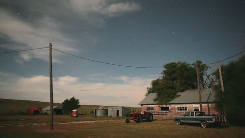
spade ranch timelapse by moonlight
Topographic Map of South Sheridan, NE, USA
Find elevation by address:

Places in South Sheridan, NE, USA:
Places near South Sheridan, NE, USA:
Sheridan County
Fawn Lake Ranch
East Gordon
Gordon, NE, USA
Clinton
Moulton St, Gordon, NE, USA
Rushville
W 2nd St, Rushville, NE, USA
Russell
Gordon
North Rushville
Pine Ridge Hospital
Pine Ridge
U.s. 18
Porcupine
Shannon County
Martin
East Shannon
Bennett County
Washabaugh Ave, Wanblee, SD, USA
Recent Searches:
- Elevation of 10370, West 107th Circle, Westminster, Jefferson County, Colorado, 80021, USA
- Elevation of 611, Roman Road, Old Ford, Bow, London, England, E3 2RW, United Kingdom
- Elevation of 116, Beartown Road, Underhill, Chittenden County, Vermont, 05489, USA
- Elevation of Window Rock, Colfax County, New Mexico, 87714, USA
- Elevation of 4807, Rosecroft Street, Kempsville Gardens, Virginia Beach, Virginia, 23464, USA
- Elevation map of Matawinie, Quebec, Canada
- Elevation of Sainte-Émélie-de-l'Énergie, Matawinie, Quebec, Canada
- Elevation of Rue du Pont, Sainte-Émélie-de-l'Énergie, Matawinie, Quebec, J0K2K0, Canada
- Elevation of 8, Rue de Bécancour, Blainville, Thérèse-De Blainville, Quebec, J7B1N2, Canada
- Elevation of Wilmot Court North, 163, University Avenue West, Northdale, Waterloo, Region of Waterloo, Ontario, N2L6B6, Canada
- Elevation map of Panamá Province, Panama
- Elevation of Balboa, Panamá Province, Panama
- Elevation of San Miguel, Balboa, Panamá Province, Panama
- Elevation of Isla Gibraleón, San Miguel, Balboa, Panamá Province, Panama
- Elevation of 4655, Krischke Road, Schulenburg, Fayette County, Texas, 78956, USA
- Elevation of Carnegie Avenue, Downtown Cleveland, Cleveland, Cuyahoga County, Ohio, 44115, USA
- Elevation of Walhonding, Coshocton County, Ohio, USA
- Elevation of Clifton Down, Clifton, Bristol, City of Bristol, England, BS8 3HU, United Kingdom
- Elevation map of Auvergne-Rhône-Alpes, France
- Elevation map of Upper Savoy, Auvergne-Rhône-Alpes, France