Elevation of East Shannon, SD, USA
Location: United States > South Dakota > Shannon County >
Longitude: -102.3463875
Latitude: 43.3503088
Elevation: 981m / 3218feet
Barometric Pressure: 0KPa
Related Photos:

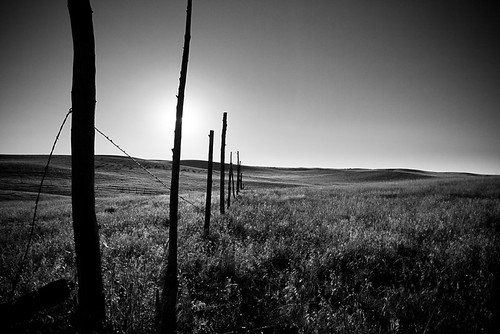
A Man on his land
Grassy Plains

Palmer Creek Pyramid

Manderson, SD-A Worthwhile Trip
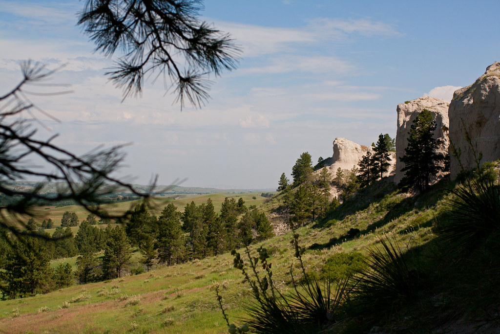
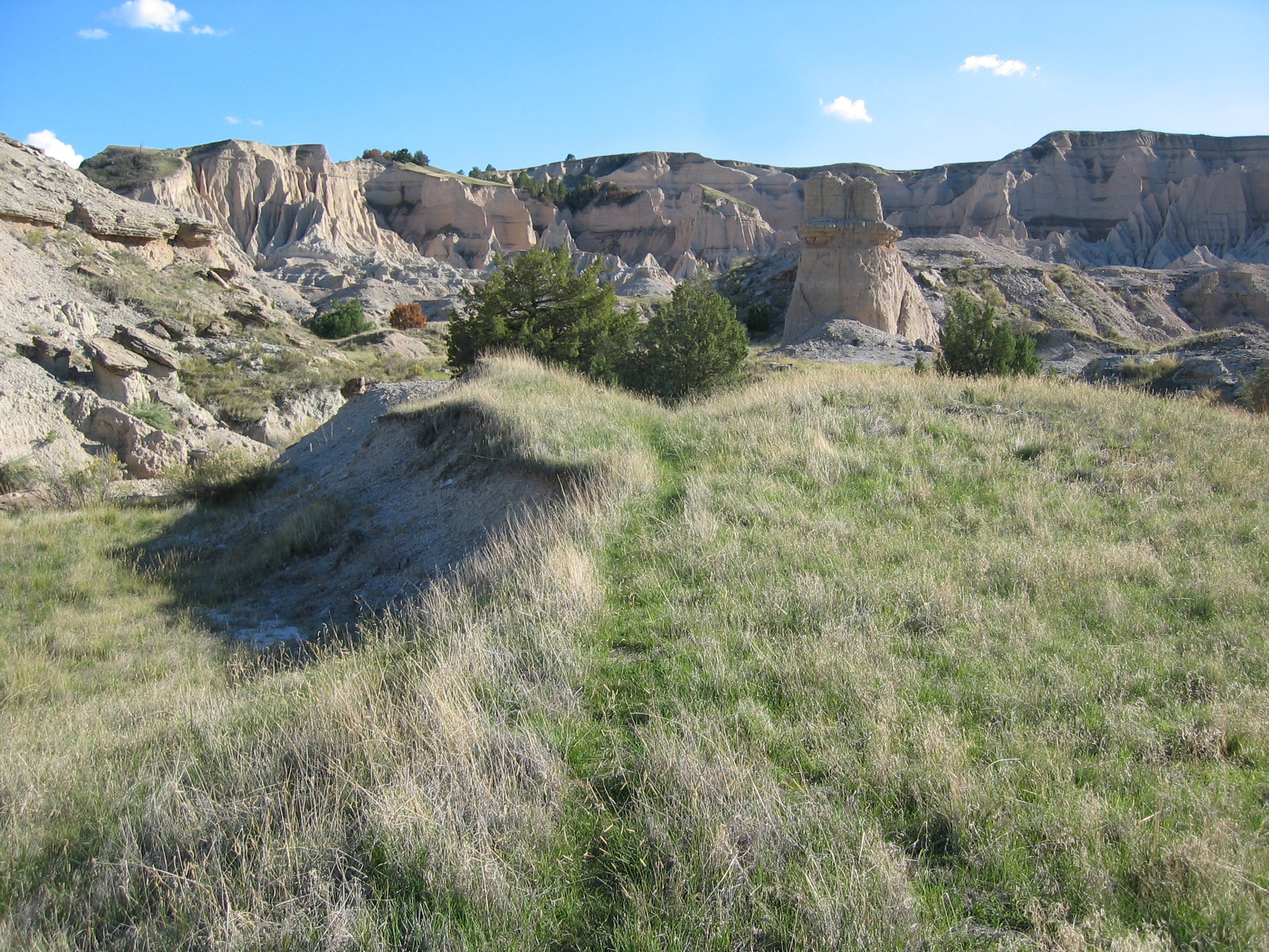
Through the Pines
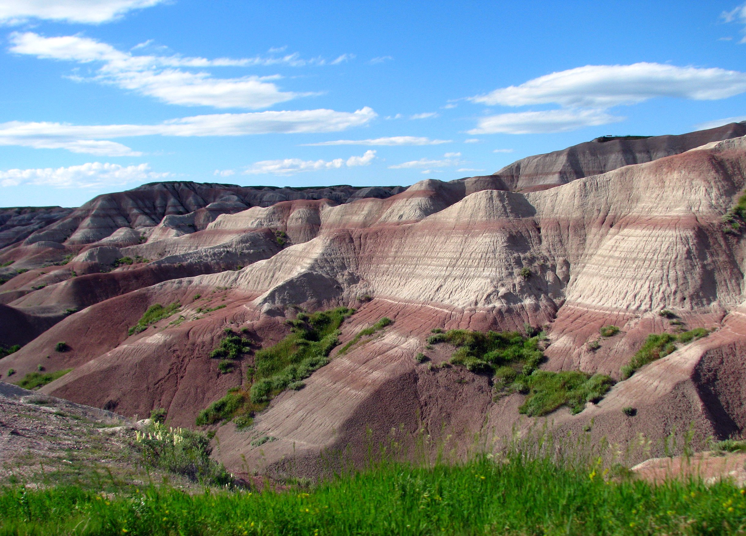
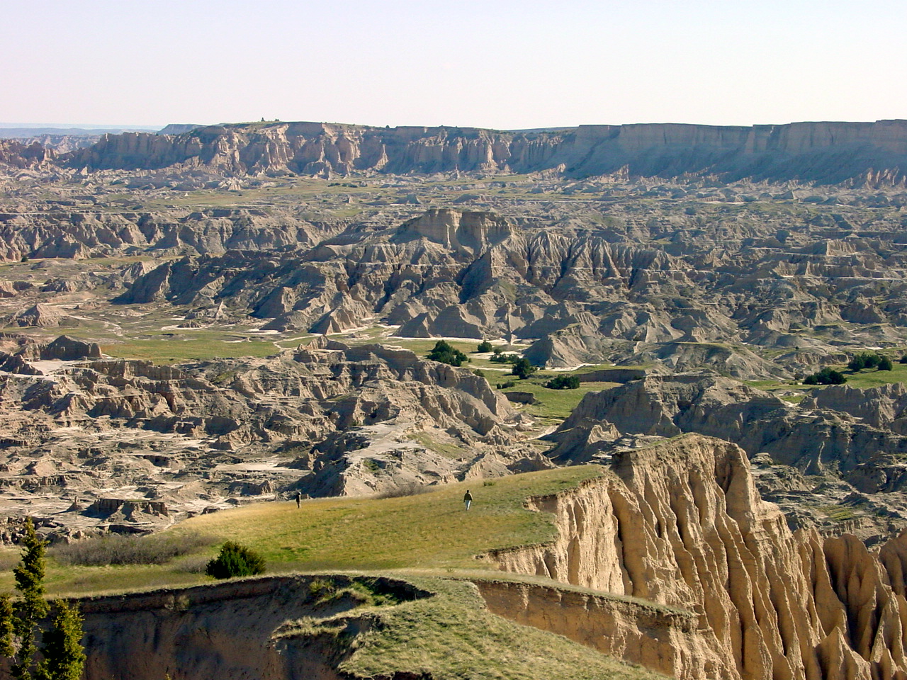
Badlands National Park
Xibalba butte
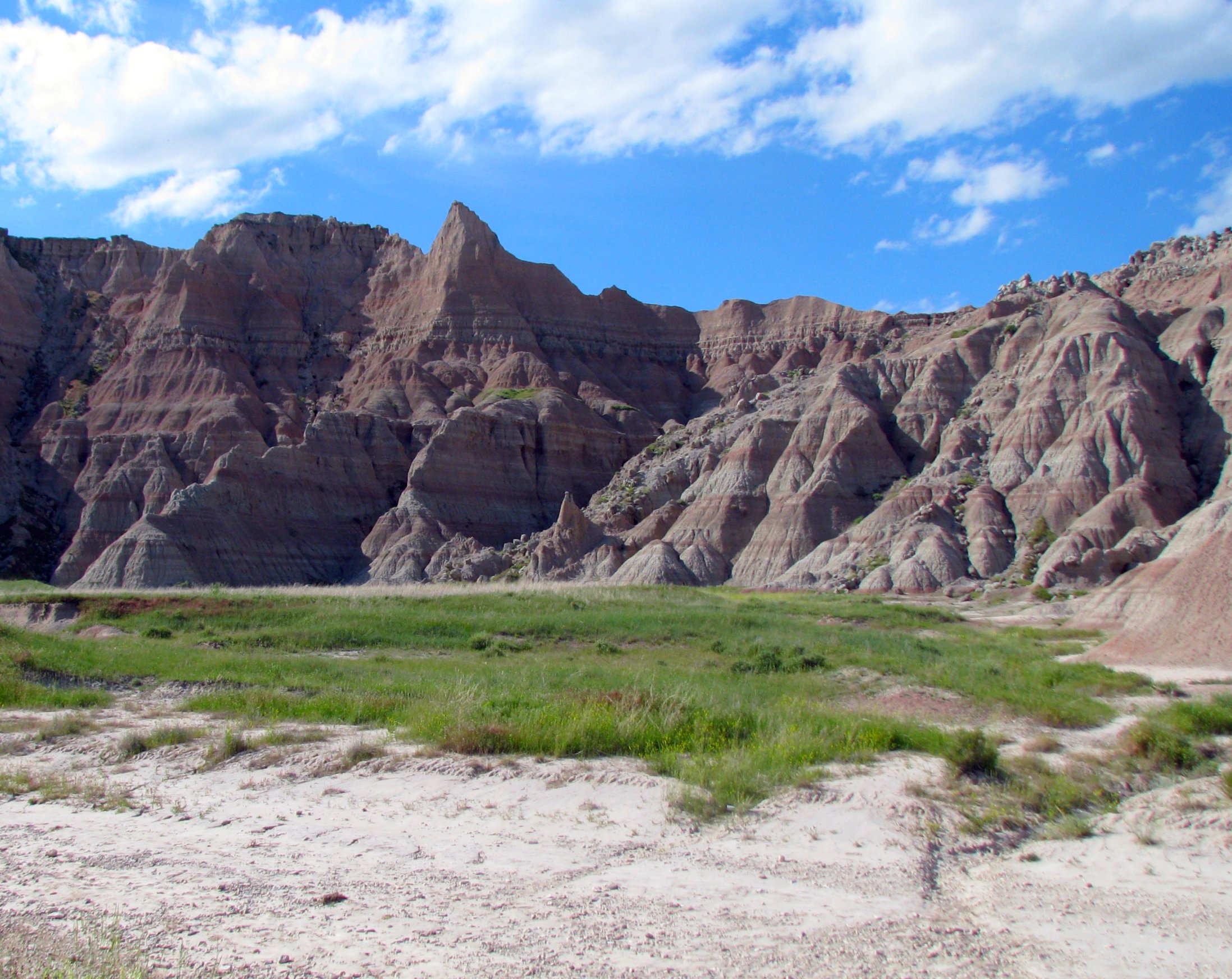
Badlands National Park
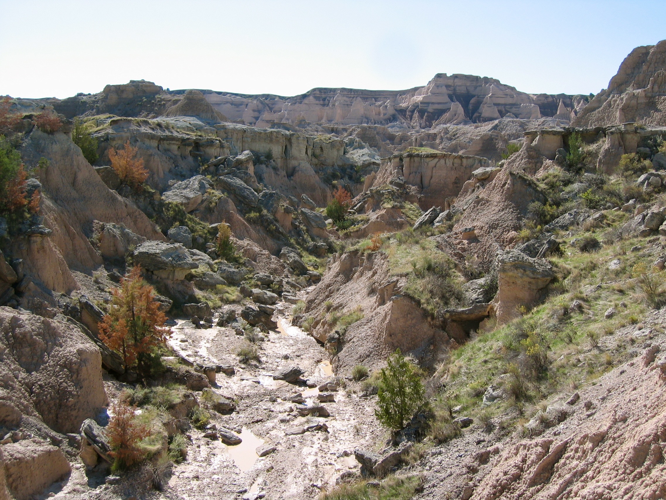
Palmer Creek 4
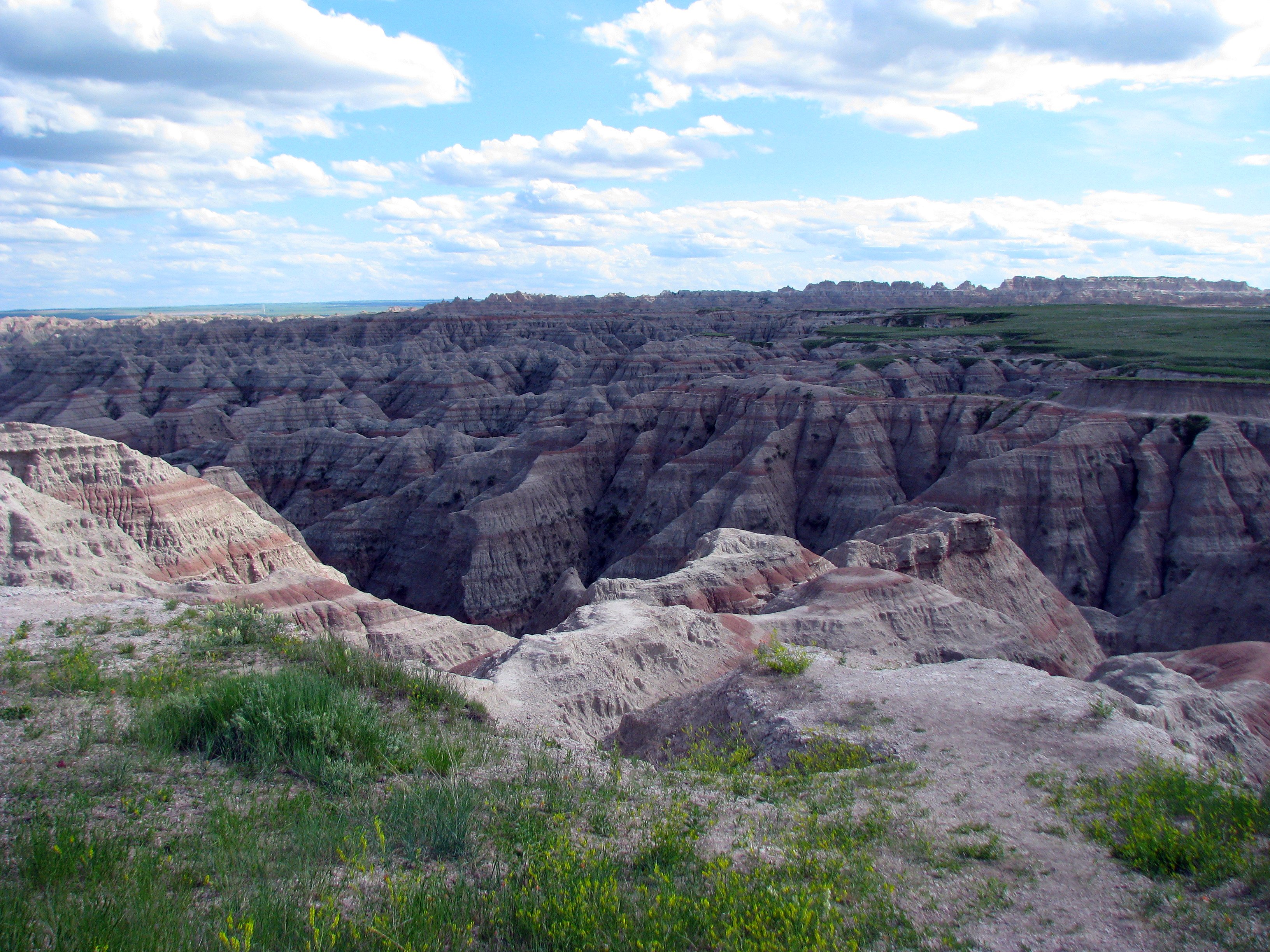
Badlands National Park
Palmer Creek 7
Topographic Map of East Shannon, SD, USA
Find elevation by address:

Places in East Shannon, SD, USA:
Places near East Shannon, SD, USA:
Porcupine
Shannon County
Pine Ridge Hospital
U.s. 18
Pine Ridge
North Rushville
Gordon
Clinton
Moulton St, Gordon, NE, USA
Gordon, NE, USA
Martin
W 2nd St, Rushville, NE, USA
Rushville
East Gordon
Washabaugh Ave, Wanblee, SD, USA
Bennett County
Fawn Lake Ranch
Russell
South Sheridan
Sheridan County
Recent Searches:
- Elevation of 611, Roman Road, Old Ford, Bow, London, England, E3 2RW, United Kingdom
- Elevation of 116, Beartown Road, Underhill, Chittenden County, Vermont, 05489, USA
- Elevation of Window Rock, Colfax County, New Mexico, 87714, USA
- Elevation of 4807, Rosecroft Street, Kempsville Gardens, Virginia Beach, Virginia, 23464, USA
- Elevation map of Matawinie, Quebec, Canada
- Elevation of Sainte-Émélie-de-l'Énergie, Matawinie, Quebec, Canada
- Elevation of Rue du Pont, Sainte-Émélie-de-l'Énergie, Matawinie, Quebec, J0K2K0, Canada
- Elevation of 8, Rue de Bécancour, Blainville, Thérèse-De Blainville, Quebec, J7B1N2, Canada
- Elevation of Wilmot Court North, 163, University Avenue West, Northdale, Waterloo, Region of Waterloo, Ontario, N2L6B6, Canada
- Elevation map of Panamá Province, Panama
- Elevation of Balboa, Panamá Province, Panama
- Elevation of San Miguel, Balboa, Panamá Province, Panama
- Elevation of Isla Gibraleón, San Miguel, Balboa, Panamá Province, Panama
- Elevation of 4655, Krischke Road, Schulenburg, Fayette County, Texas, 78956, USA
- Elevation of Carnegie Avenue, Downtown Cleveland, Cleveland, Cuyahoga County, Ohio, 44115, USA
- Elevation of Walhonding, Coshocton County, Ohio, USA
- Elevation of Clifton Down, Clifton, Bristol, City of Bristol, England, BS8 3HU, United Kingdom
- Elevation map of Auvergne-Rhône-Alpes, France
- Elevation map of Upper Savoy, Auvergne-Rhône-Alpes, France
- Elevation of Chamonix-Mont-Blanc, Upper Savoy, Auvergne-Rhône-Alpes, France