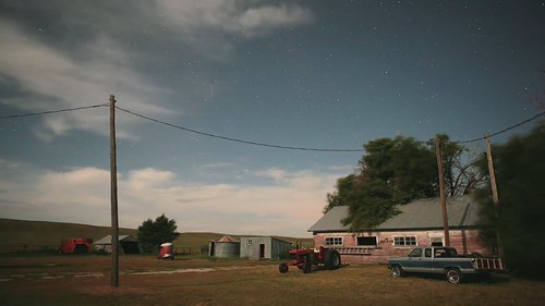
Elevation map of Sheridan County, NE, USA
Location: United States > Nebraska >
Longitude: -102.25479
Latitude: 42.3613076
Elevation: 1281m / 4203feet
Barometric Pressure: 87KPa
Related Photos:
Topographic Map of Sheridan County, NE, USA
Find elevation by address:

Places in Sheridan County, NE, USA:
Places near Sheridan County, NE, USA:
South Sheridan
Fawn Lake Ranch
East Gordon
Gordon, NE, USA
Clinton
Moulton St, Gordon, NE, USA
Rushville
W 2nd St, Rushville, NE, USA
Russell
Gordon
North Rushville
Pine Ridge Hospital
Pine Ridge
U.s. 18
Porcupine
Shannon County
Martin
East Shannon
Bennett County
Washabaugh Ave, Wanblee, SD, USA
Recent Searches:
- Elevation of Corso Fratelli Cairoli, 35, Macerata MC, Italy
- Elevation of Tallevast Rd, Sarasota, FL, USA
- Elevation of 4th St E, Sonoma, CA, USA
- Elevation of Black Hollow Rd, Pennsdale, PA, USA
- Elevation of Oakland Ave, Williamsport, PA, USA
- Elevation of Pedrógão Grande, Portugal
- Elevation of Klee Dr, Martinsburg, WV, USA
- Elevation of Via Roma, Pieranica CR, Italy
- Elevation of Tavkvetili Mountain, Georgia
- Elevation of Hartfords Bluff Cir, Mt Pleasant, SC, USA
