Elevation map of Gordon, NE, USA
Location: United States > Nebraska > Sheridan County > East Gordon > Gordon >
Longitude: -102.1632718
Latitude: 42.7576923
Elevation: 1109m / 3638feet
Barometric Pressure: 0KPa
Related Photos:

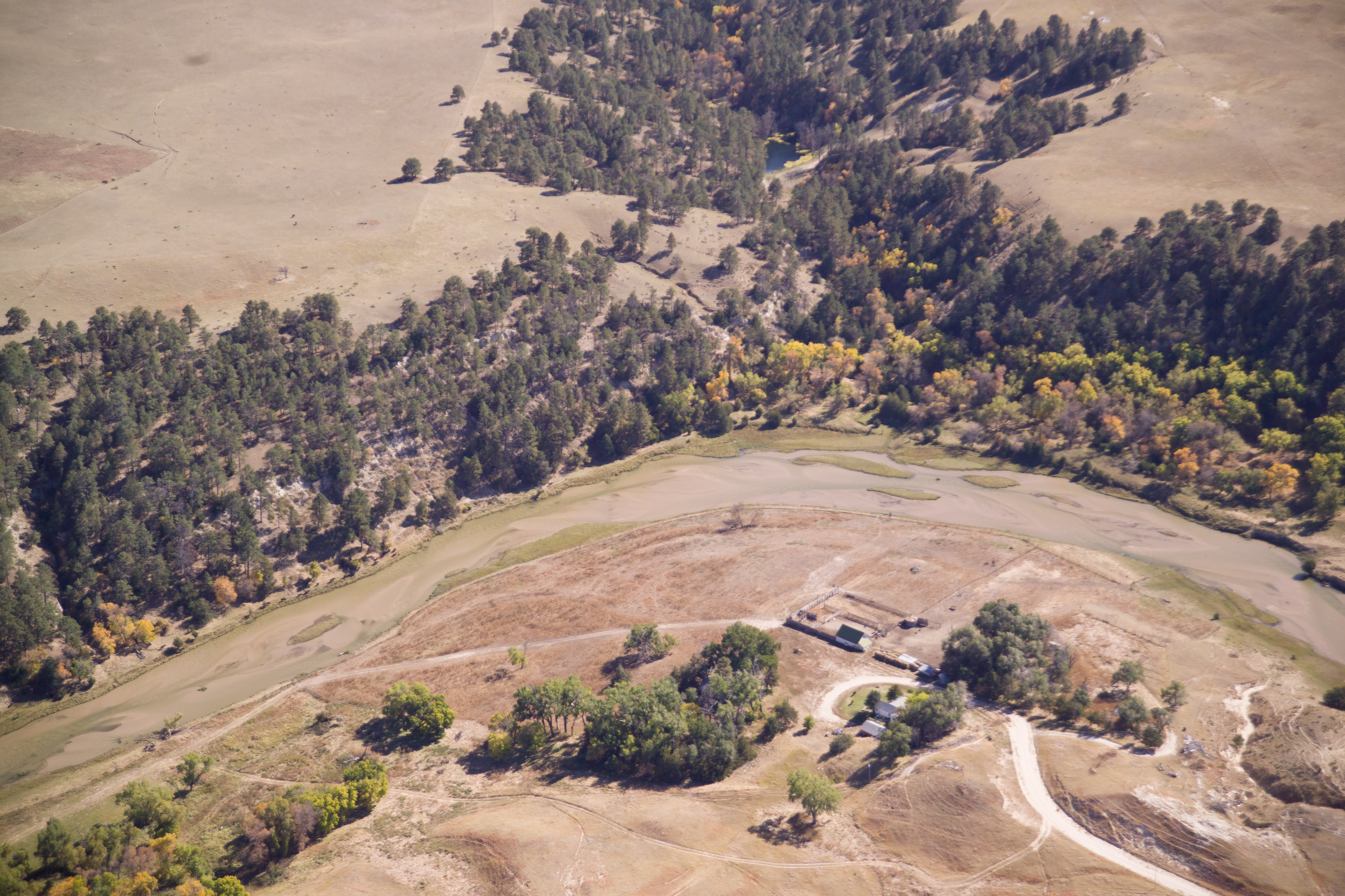
Aerial View Deer Creek, Nebraska 101217

Aerial View of the Sandhills, Nebraska 100705

Aerial View of the Sandhills, Nebraska 100705

Aerial View of the Sandhills, Nebraska 100705
Aerial View of the Sandhills, Nebraska 100705

Aerial View of the Sandhills, Nebraska 100705

Blue Steel took a picture!

Blue Steel took a picture!

Blue Steel took a picture!
Topographic Map of Gordon, NE, USA
Find elevation by address:

Places near Gordon, NE, USA:
East Gordon
Gordon
Clinton
Moulton St, Gordon, NE, USA
Fawn Lake Ranch
Rushville
W 2nd St, Rushville, NE, USA
North Rushville
Russell
South Sheridan
Sheridan County
Pine Ridge Hospital
Pine Ridge
U.s. 18
Porcupine
Martin
East Shannon
Bennett County
Shannon County
Washabaugh Ave, Wanblee, SD, USA
Recent Searches:
- Elevation of 4655, Krischke Road, Schulenburg, Fayette County, Texas, 78956, USA
- Elevation of Carnegie Avenue, Downtown Cleveland, Cleveland, Cuyahoga County, Ohio, 44115, USA
- Elevation of Walhonding, Coshocton County, Ohio, USA
- Elevation of Clifton Down, Clifton, Bristol, City of Bristol, England, BS8 3HU, United Kingdom
- Elevation map of Auvergne-Rhône-Alpes, France
- Elevation map of Upper Savoy, Auvergne-Rhône-Alpes, France
- Elevation of Chamonix-Mont-Blanc, Upper Savoy, Auvergne-Rhône-Alpes, France
- Elevation of 908, Northwood Drive, Bridge Field, Chesapeake, Virginia, 23322, USA
- Elevation map of Nagano Prefecture, Japan
- Elevation of 587, Bascule Drive, Oakdale, Stanislaus County, California, 95361, USA
- Elevation of Stadion Wankdorf, Sempachstrasse, Breitfeld, Bern, Bern-Mittelland administrative district, Bern, 3014, Switzerland
- Elevation of Z024, 76, Emil-von-Behring-Straße, Marbach, Marburg, Landkreis Marburg-Biedenkopf, Hesse, 35041, Germany
- Elevation of Gaskill Road, Hunts Cross, Liverpool, England, L24 9PH, United Kingdom
- Elevation of Speke, Liverpool, England, L24 9HD, United Kingdom
- Elevation of Seqirus, 475, Green Oaks Parkway, Holly Springs, Wake County, North Carolina, 27540, USA
- Elevation of Pasing, Munich, Bavaria, 81241, Germany
- Elevation of 24, Auburn Bay Crescent SE, Auburn Bay, Calgary, Alberta, T3M 0A6, Canada
- Elevation of Denver, 2314, Arapahoe Street, Five Points, Denver, Colorado, 80205, USA
- Elevation of Community of the Beatitudes, 2924, West 43rd Avenue, Sunnyside, Denver, Colorado, 80211, USA
- Elevation map of Litang County, Sichuan, China