Elevation of Slate River Mill Road, Slate River Mill Rd, Dillwyn, VA, USA

Location: United States > Virginia > Buckingham County > >

Longitude: -78.536428

Latitude: 37.5941552

Elevation: 142m / 466feet

Barometric Pressure: 100KPa

Elevation Map:

elevation map of Slate River Mill Road, Slate River Mill Rd, Dillwyn, VA, USA

Satellite Map:

Satellite map of Slate River Mill Road, Slate River Mill Rd, Dillwyn, VA, USA

Related Photos:

road wood chimney building brick cars architecture rural virginia store highway piers small country basement structure junction gasstation business vehicles commercial transportation brackets clapboard eaves compact overhang geographiccenter portecochere buckinghamcounty mountrush
Store at Mt. Rush 2
wood trees house brick rural landscape virginia woods country lawn scenic gazebo courthouse bb bedandbreakfast eventcenter federalstyle buckinghamcounty buckinghamcourthouse maysvillemanor
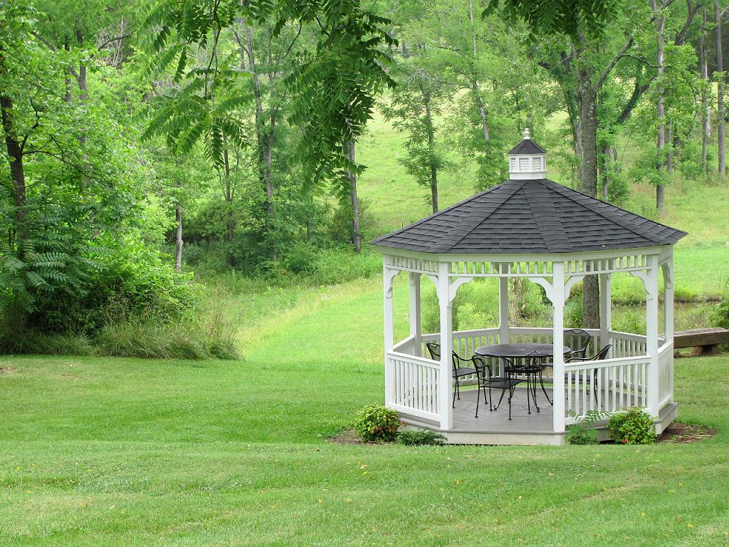
Gazebo--Maysville Manor
road wood chimney building brick cars architecture rural virginia store highway piers small country basement structure junction gasstation business vehicles commercial transportation brackets clapboard eaves compact overhang geographiccenter portecochere buckinghamcounty mountrush
Store at Mt. Rush 3
road wood chimney building brick cars architecture rural virginia store highway piers small country basement structure junction gasstation business vehicles commercial transportation brackets clapboard eaves compact overhang geographiccenter portecochere buckinghamcounty mountrush
Store at Mt. Rush 4
road wood chimney building brick cars architecture rural virginia store highway piers small country basement structure junction gasstation business vehicles commercial transportation brackets clapboard eaves compact overhang geographiccenter portecochere buckinghamcounty mountrush
Store at Mt. Rush 1
abandoned virginia april weatheredwood 2007 gasstations commercialbuildings april2007 buckinghamcounty mountrush vintagecommercialbuildings
Running on Empty
va yogavillebuckingham
Buckingham, VA 028
abandoned virginia april weatheredwood 2007 gasstations commercialbuildings april2007 buckinghamcounty mountrush vintagecommercialbuildings
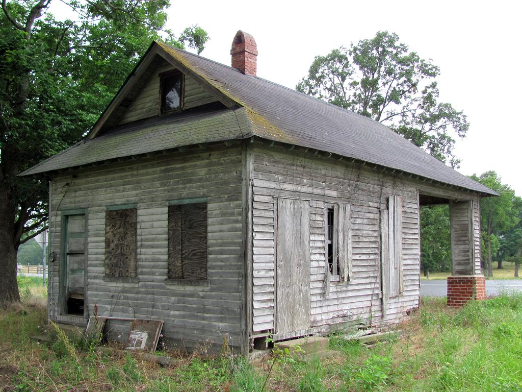
Old Gas Station, Another View
sunset virginia barns
Alpha Barn 2
road wood chimney building brick cars architecture rural virginia store highway piers small country basement structure junction gasstation business vehicles commercial transportation brackets clapboard eaves compact overhang geographiccenter portecochere buckinghamcounty mountrush
Store at Mt. Rush 6
oldragmountain shenandoahnationalpark ridgetrail
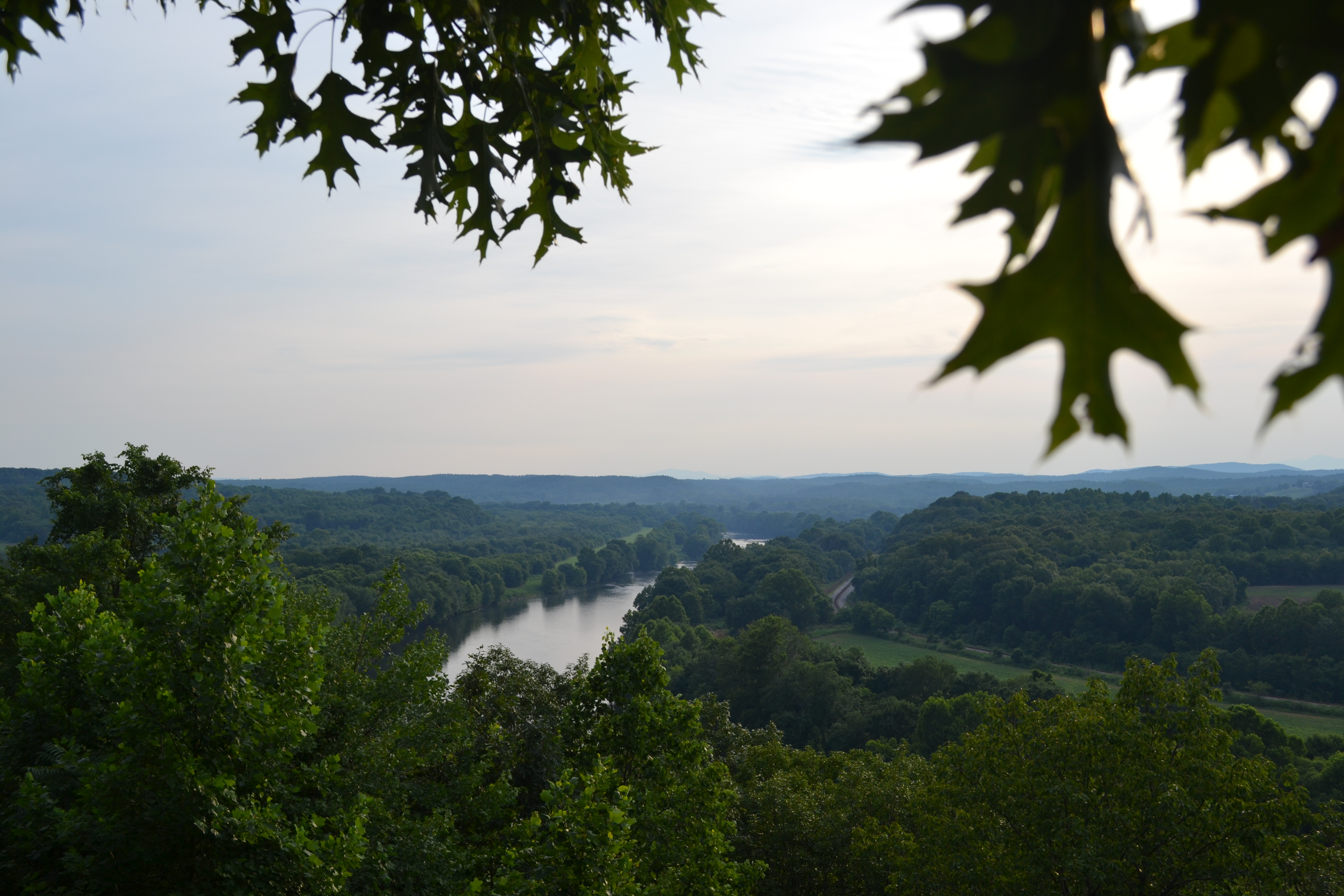
Views from the Rocks
road wood chimney building brick cars architecture rural virginia store highway piers small country basement structure junction gasstation business vehicles commercial transportation brackets clapboard eaves compact overhang geographiccenter portecochere buckinghamcounty mountrush
Store at Mt. Rush 5
wood trees house brick rural fence landscape virginia woods country lawn scenic courthouse bb bedandbreakfast eventcenter federalstyle buckinghamcounty buckinghamcourthouse maysvillemanor
Fancy Fence
autumn ride luke trains buckinghambranchrailroad 2013
Dino Enjoys the View
autumn ride luke trains buckinghambranchrailroad 2013
Luke Enjoying the View
ashram
View.
sarah
Walking in the Woods.
autumn ride luke trains buckinghambranchrailroad 2013
US 15 from the Steel Bridge
oldragmountain shenandoahnationalpark ridgetrail
...and Higher
winter bird finch
Female House Finch (12.26.14)
winter snow bird sparrow
Song Sparrow (3.17.14)
cemetery virginia africanamerican nationalregister nationalregisterofhistoricplaces buckinghamcounty stantonfamilycemetery
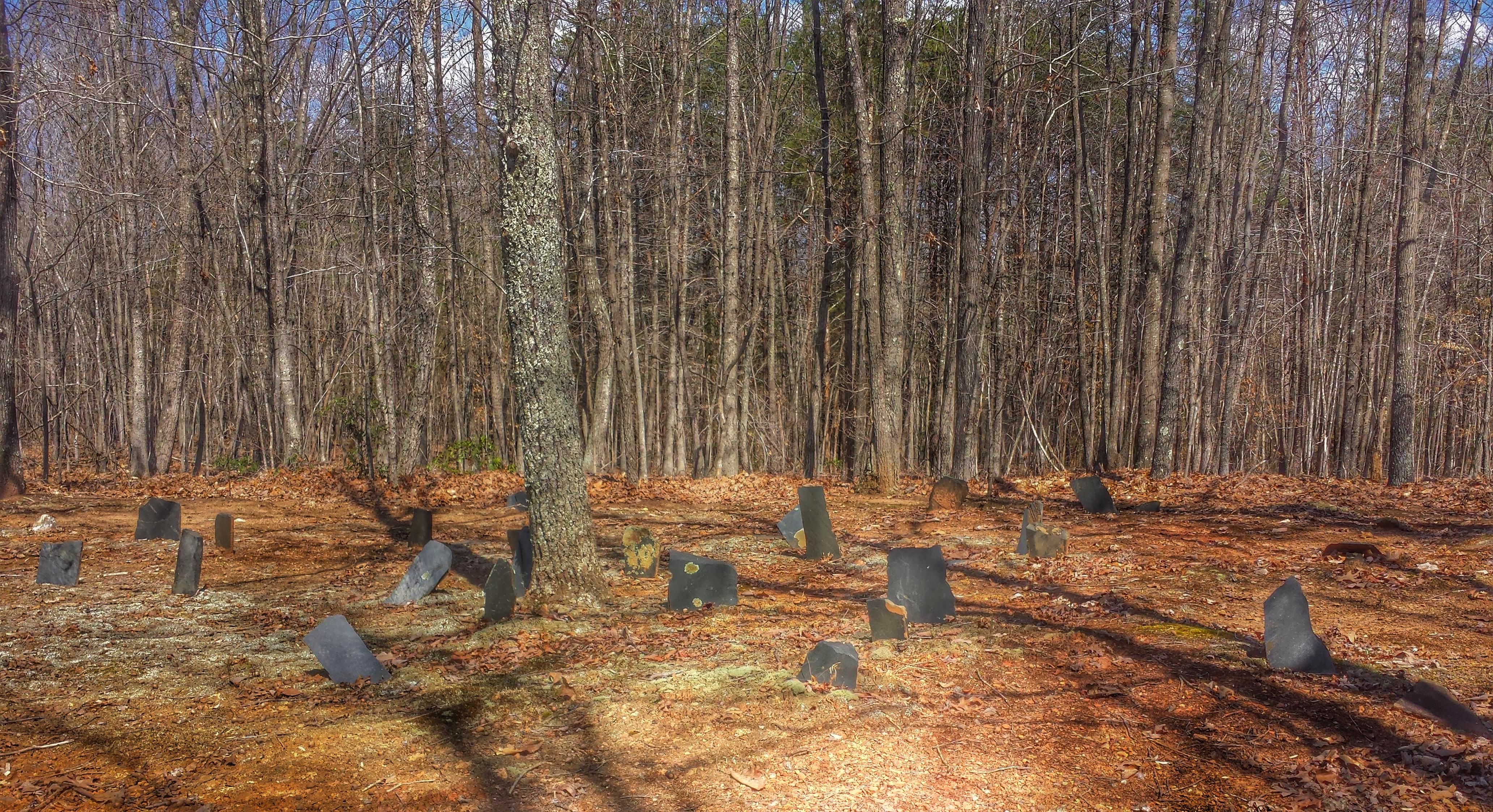
Stanton Family Cemetery- Buckingham County VA (4)
moon night landscape spring
First Quarter (5.24.15)
bird fall
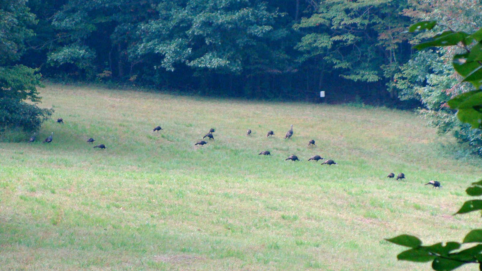
Wild Turkey (9.3.11)