Elevation of Red Rd, Dillwyn, VA, USA
Location: United States > Virginia > Buckingham County > Dillwyn >
Longitude: -78.451923
Latitude: 37.5037295
Elevation: 163m / 535feet
Barometric Pressure: 99KPa
Elevation Map:
Satellite Map:
Related Photos:

Store at Mt. Rush 1

Store at Mt. Rush 2

Store at Mt. Rush 6
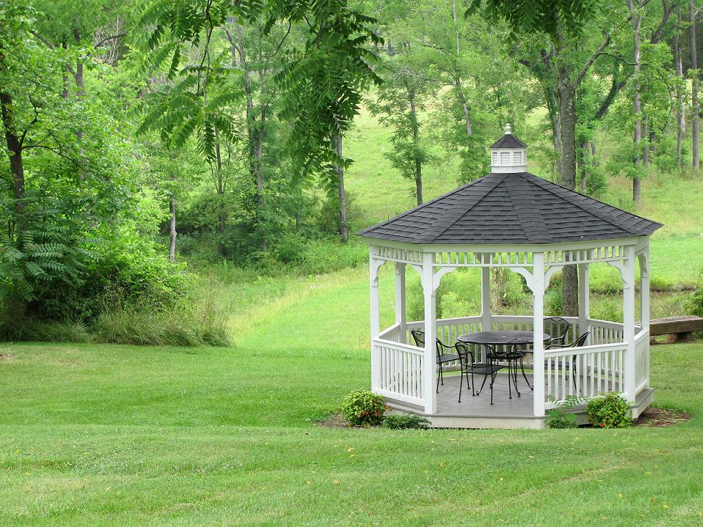
Gazebo--Maysville Manor
Store at Mt. Rush 4
Store at Mt. Rush 3
Old Gas Station, Another View

Running on Empty
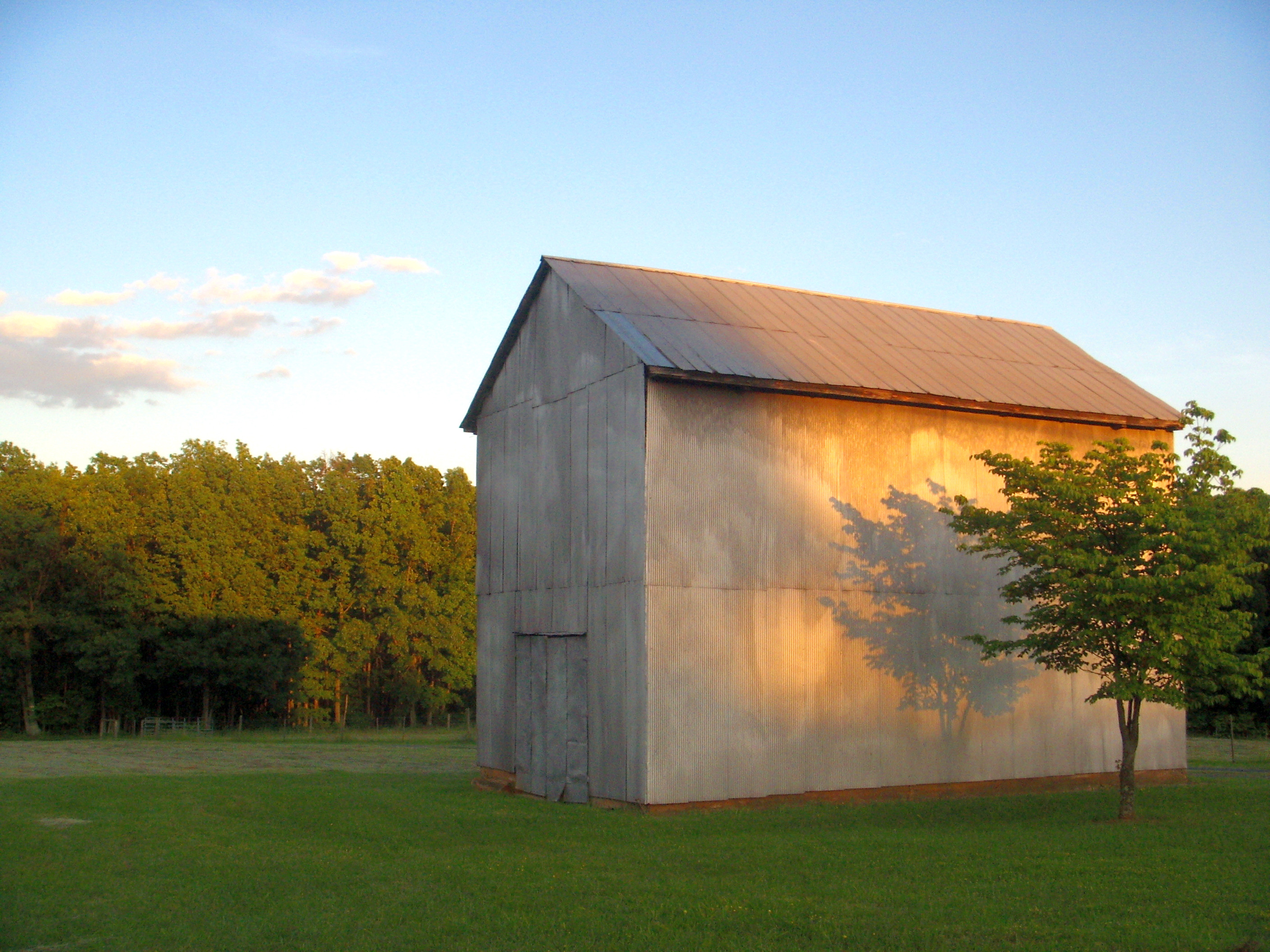
Alpha Barn 2

Fancy Fence
Store at Mt. Rush 5
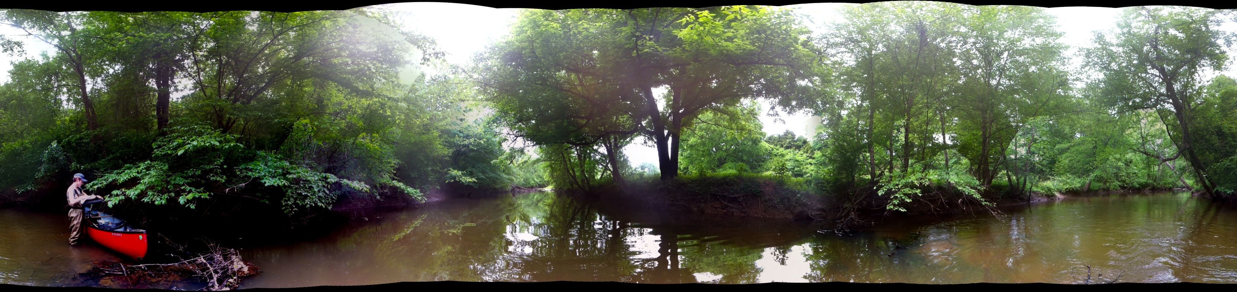
Willis River Pano

Luke Enjoying the View
Topographic Map of Red Rd, Dillwyn, VA, USA
Find elevation by address:

Places near Red Rd, Dillwyn, VA, USA:
106 Whetstone Ln
Willis Mountain
Dillwyn
3857 Oak Hill Rd
U.s. 60
4, VA, USA
Buckingham
Buckingham County
115 Charltons Ln
Slate River Mill Road
3089 Cumberland Rd
167b
3499 Cumberland Rd
2150 Anderson Hwy
48 Raines Tavern Rd, Farmville, VA, USA
2145 Cumberland Rd
4, VA, USA
Crumptown Road
Farmville, VA, USA
5, VA, USA
Recent Searches:
- Elevation of Corso Fratelli Cairoli, 35, Macerata MC, Italy
- Elevation of Tallevast Rd, Sarasota, FL, USA
- Elevation of 4th St E, Sonoma, CA, USA
- Elevation of Black Hollow Rd, Pennsdale, PA, USA
- Elevation of Oakland Ave, Williamsport, PA, USA
- Elevation of Pedrógão Grande, Portugal
- Elevation of Klee Dr, Martinsburg, WV, USA
- Elevation of Via Roma, Pieranica CR, Italy
- Elevation of Tavkvetili Mountain, Georgia
- Elevation of Hartfords Bluff Cir, Mt Pleasant, SC, USA