Elevation of Buckingham, VA, USA
Location: United States > Virginia > Buckingham County > >
Longitude: -78.554516
Latitude: 37.5518299
Elevation: 142m / 466feet
Barometric Pressure: 100KPa
Elevation Map:
Satellite Map:
Related Photos:

Store at Mt. Rush 3
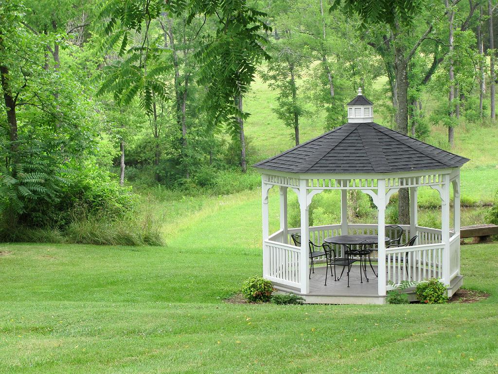
Gazebo--Maysville Manor

Store at Mt. Rush 2

Store at Mt. Rush 1

Old Gas Station, Another View

Running on Empty

Store at Mt. Rush 4

Store at Mt. Rush 5

Fancy Fence

Store at Mt. Rush 6

Buckingham, VA 028

Alpha Barn 2

Views from the Rocks
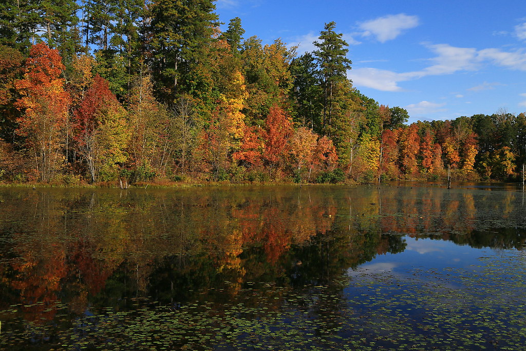
Slate River backwater, Buckingham, Virginia

Hall of Trees - Wide

...and Higher
Topographic Map of Buckingham, VA, USA
Find elevation by address:

Places in Buckingham, VA, USA:
Places near Buckingham, VA, USA:
U.s. 60
3857 Oak Hill Rd
4, VA, USA
Slate River Mill Road
Buckingham County
115 Charltons Ln
Dillwyn
106 Whetstone Ln
Ivy Road
1692 Red Rd
Willis Mountain
South Constitution Route
6, VA, USA
Axtell
Virginia
10787 Howardsville Rd
Manteo Rd, Buckingham, VA, USA
Crumptown Road
5, VA, USA
3927 Firehouse Rd
Recent Searches:
- Elevation of Corso Fratelli Cairoli, 35, Macerata MC, Italy
- Elevation of Tallevast Rd, Sarasota, FL, USA
- Elevation of 4th St E, Sonoma, CA, USA
- Elevation of Black Hollow Rd, Pennsdale, PA, USA
- Elevation of Oakland Ave, Williamsport, PA, USA
- Elevation of Pedrógão Grande, Portugal
- Elevation of Klee Dr, Martinsburg, WV, USA
- Elevation of Via Roma, Pieranica CR, Italy
- Elevation of Tavkvetili Mountain, Georgia
- Elevation of Hartfords Bluff Cir, Mt Pleasant, SC, USA