Elevation of Howardsville Rd, Howardsville, VA, USA
Location: United States > Virginia > Buckingham County > >
Longitude: -78.611760
Latitude: 37.7072631
Elevation: 168m / 551feet
Barometric Pressure: 99KPa
Elevation Map:
Satellite Map:
Related Photos:
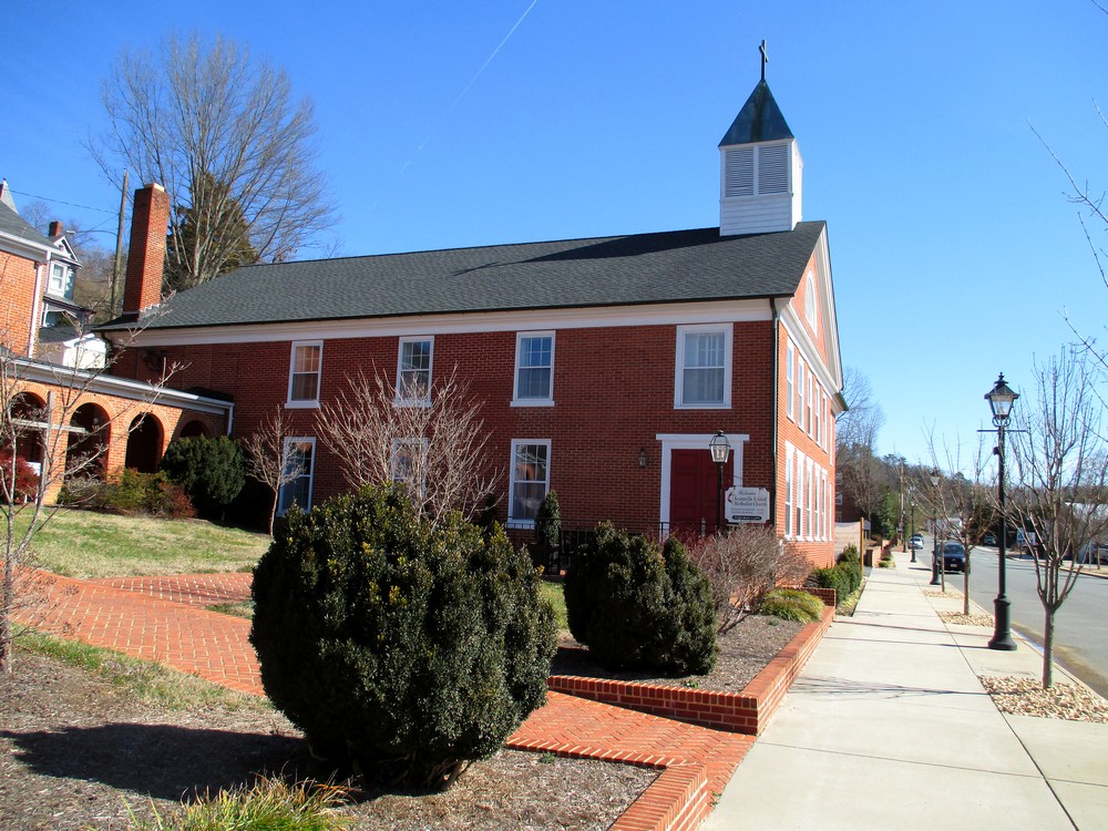
Scottsville United Methodist Church
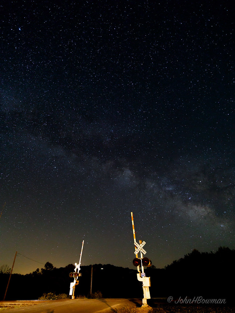
Star-crossed

Sundown at Wingina
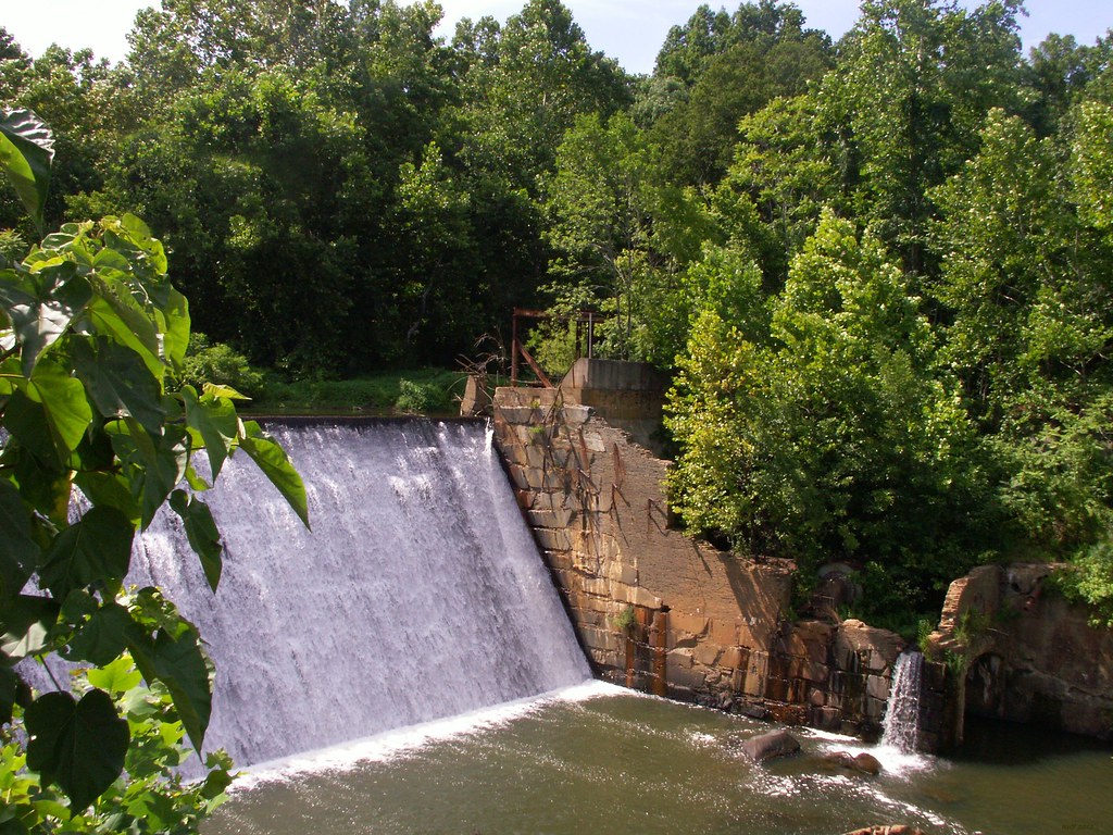
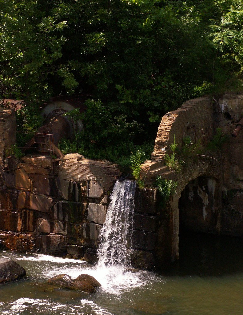
Dam - Schuyler, Virginia
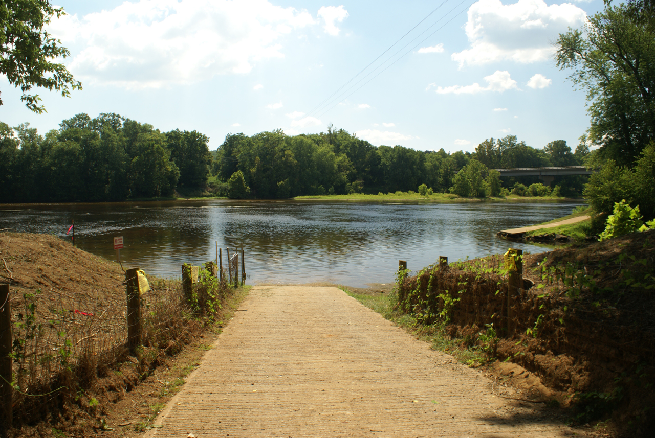
Baber's Landing
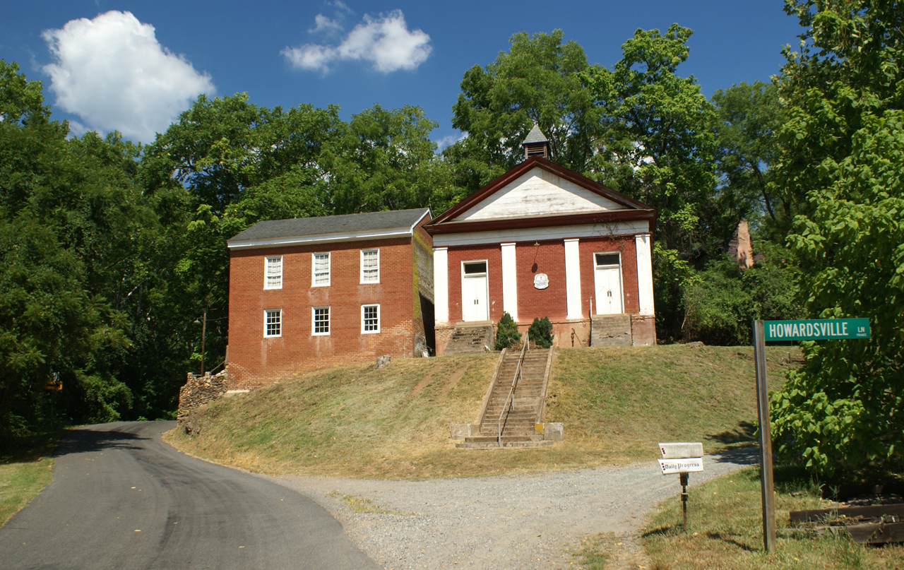
George Lodge 32, Howardsville
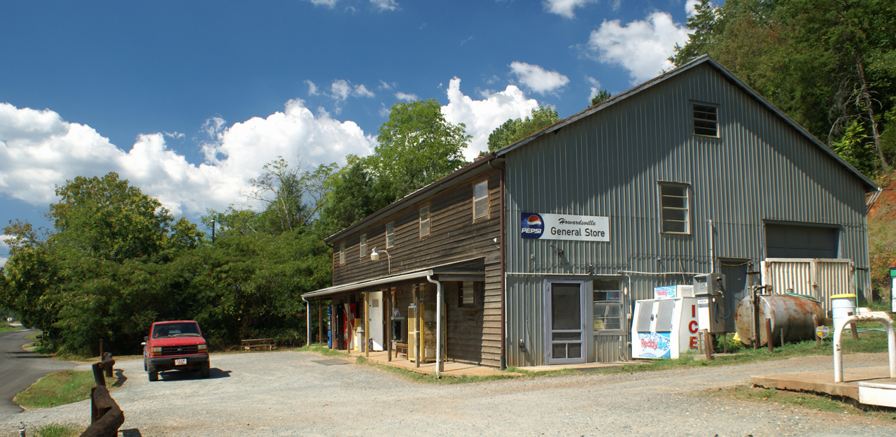
Howardsville General Store

Howardsville Tracks
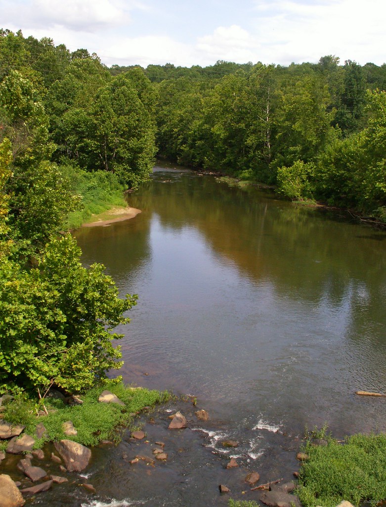
Where Ballenger Creek Meets the James River
Scottsville 05
Rockfish River - Schuyler, Virginia

The view from the campsite
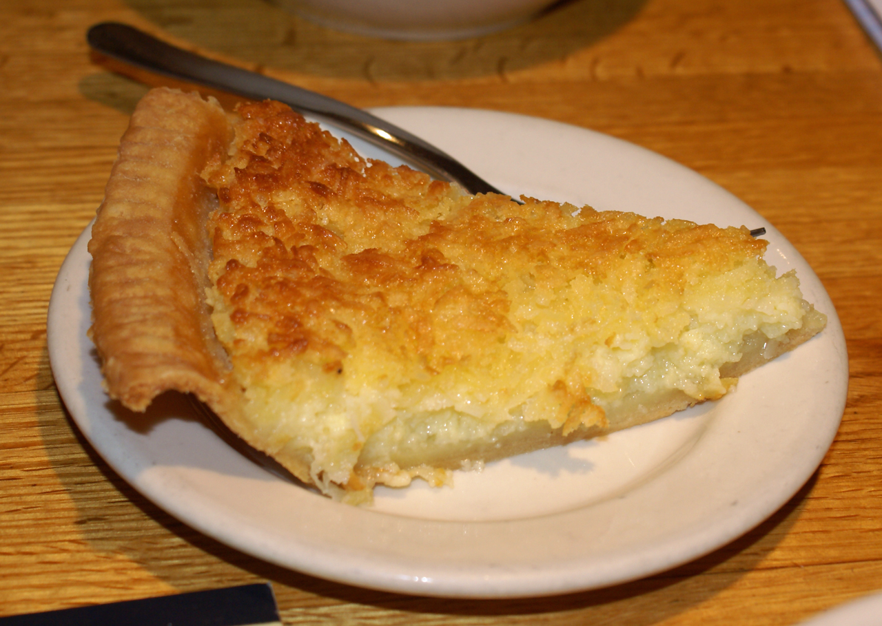
Coconut Custard
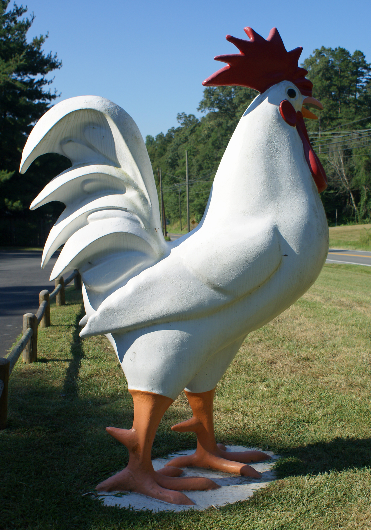
Lumpkin's Chicken

Scottsville Levee

Lumpkin's Cobbler

Lumpkin's Menu

2008 Pie Day Team
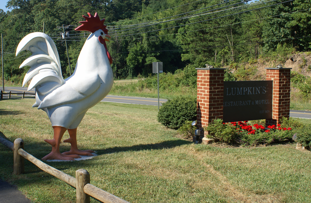
Outside Lumpkin's

Calm Day on the James
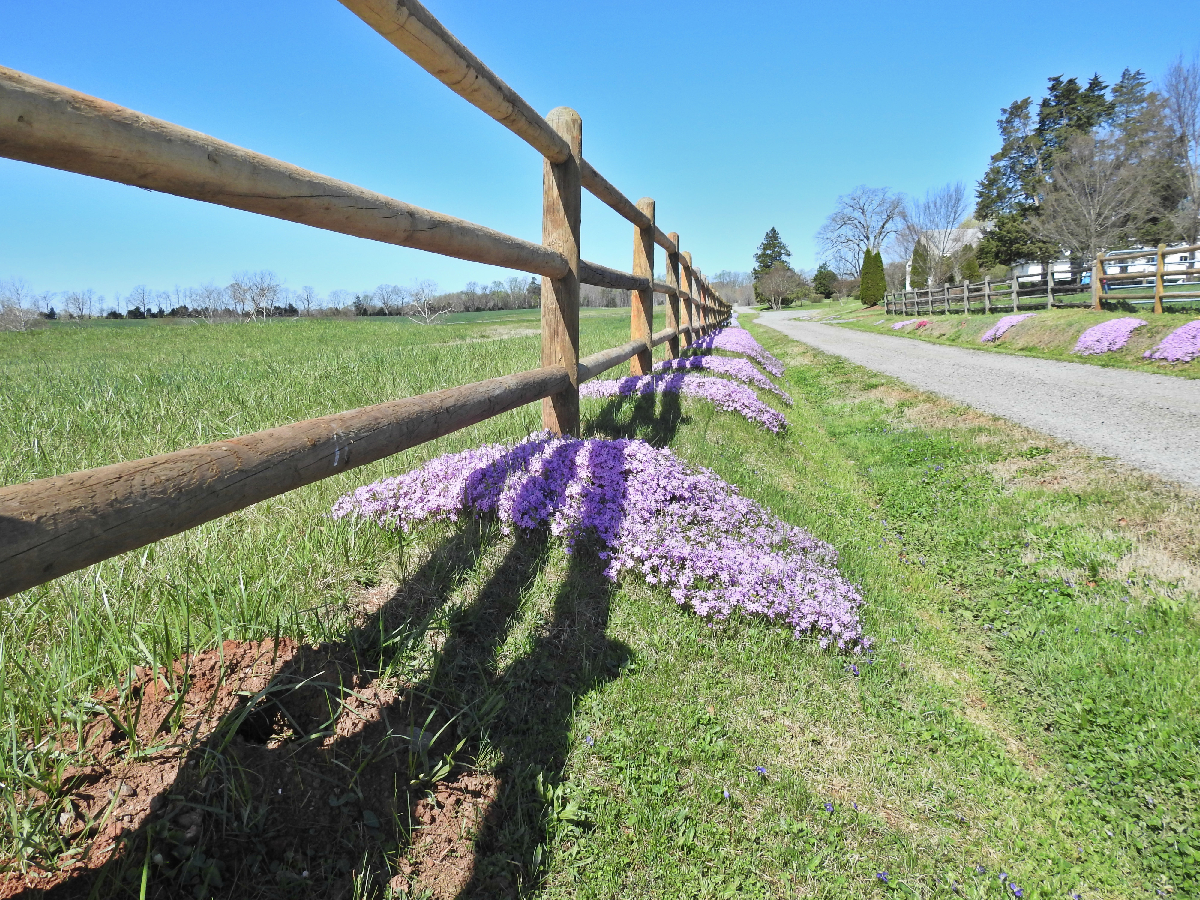
Liberty Corner Farm ground cover

Reflections in Wingina

Dolan's Farm at Norwood

Wingina On The James
A. Ramon Thacker Levy - Scottsville, VA
2013-10-06 13.36.15
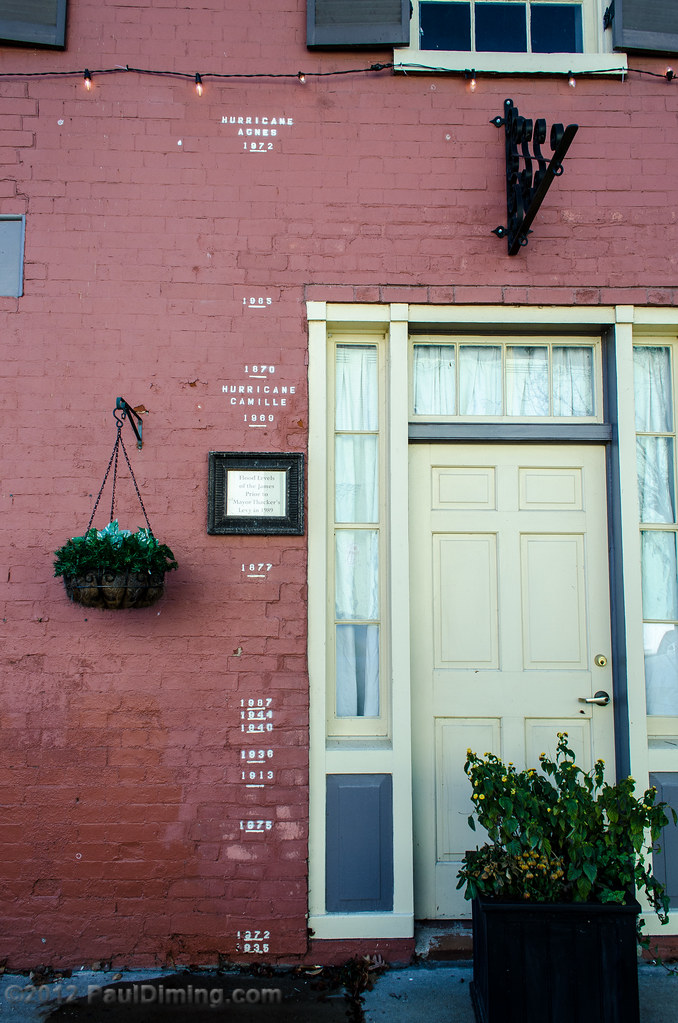
Flood Water Levels - Scottsville, VA
Abandoned - Schuyler, Virginia

St. John's Church - Scottsville, VA
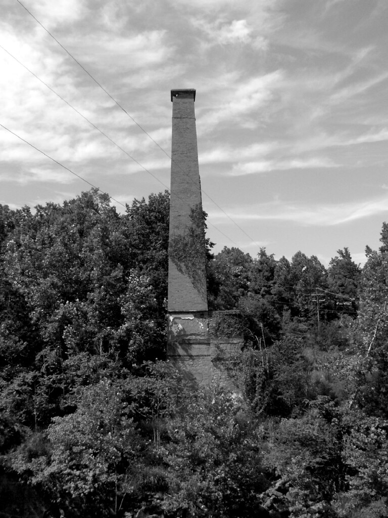
Smokestack - Schuyler, Virginia

Brick Home on Harrison Street - Scottsville, VA

Sunflowers & Barn

Phoenix Quarry Sunrise
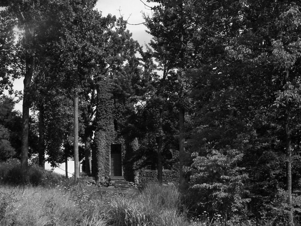
Church Tower - Schuyler, Virginia
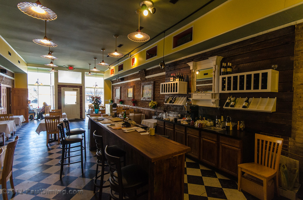
Horseshoe Bend Tavern & Bistro - Scottsville, VA
Topographic Map of Howardsville Rd, Howardsville, VA, USA
Find elevation by address:

Places near Howardsville Rd, Howardsville, VA, USA:
Axtell
3927 Firehouse Rd
Howardsville
Howardsville
Howardsville
Howardsville
Howardsville
Howardsville
Howardsville
Howardsville
Howardsville
Howardsville
Howardsville
Howardsville
Howardsville
Howardsville
Howardsville
Howardsville
Howardsville
Howardsville
Recent Searches:
- Elevation of Corso Fratelli Cairoli, 35, Macerata MC, Italy
- Elevation of Tallevast Rd, Sarasota, FL, USA
- Elevation of 4th St E, Sonoma, CA, USA
- Elevation of Black Hollow Rd, Pennsdale, PA, USA
- Elevation of Oakland Ave, Williamsport, PA, USA
- Elevation of Pedrógão Grande, Portugal
- Elevation of Klee Dr, Martinsburg, WV, USA
- Elevation of Via Roma, Pieranica CR, Italy
- Elevation of Tavkvetili Mountain, Georgia
- Elevation of Hartfords Bluff Cir, Mt Pleasant, SC, USA