Elevation of Ivy Road, Ivy Rd, Howardsville, VA, USA
Location: United States > Virginia > Albemarle County > Scottsville > Howardsville >
Longitude: -78.574512
Latitude: 37.6581222
Elevation: 175m / 574feet
Barometric Pressure: 99KPa
Elevation Map:
Satellite Map:
Related Photos:

Store at Mt. Rush 2

Store at Mt. Rush 1
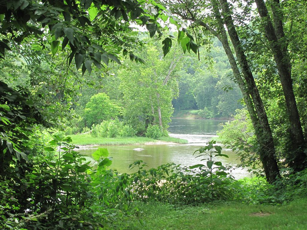
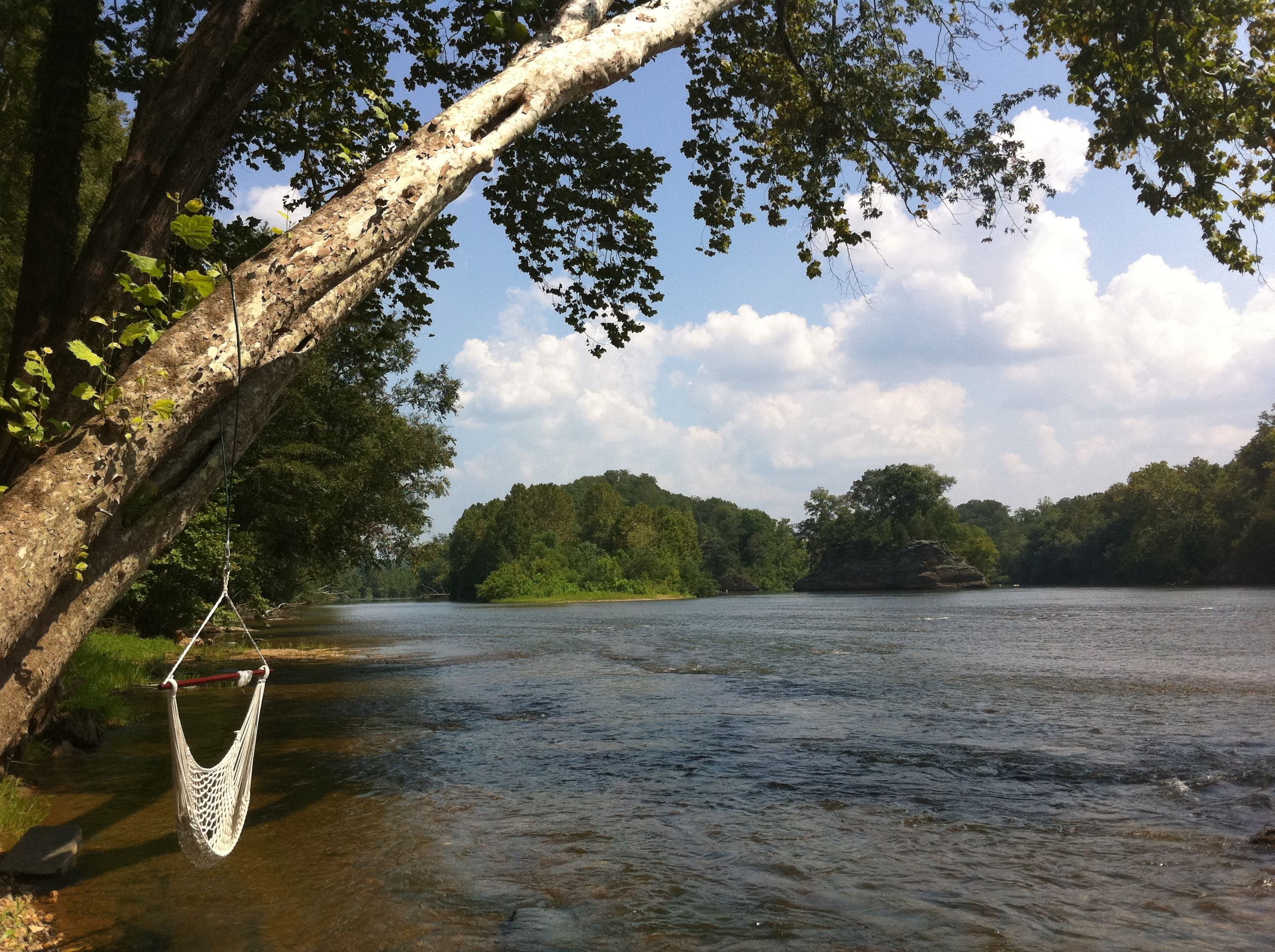
Where Ballenger Creek Meets the James River
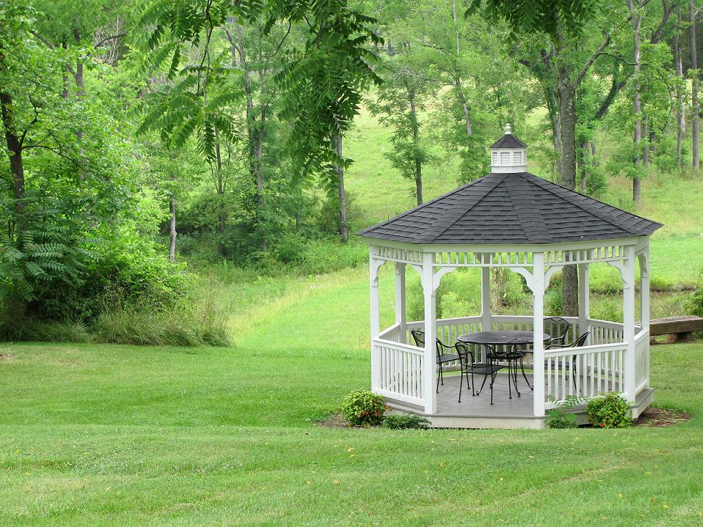
Gazebo--Maysville Manor
Store at Mt. Rush 4
Store at Mt. Rush 3

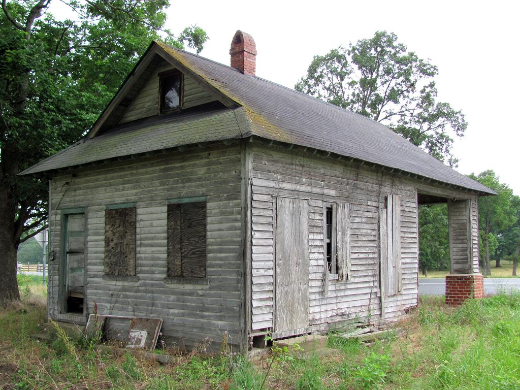
Running on Empty
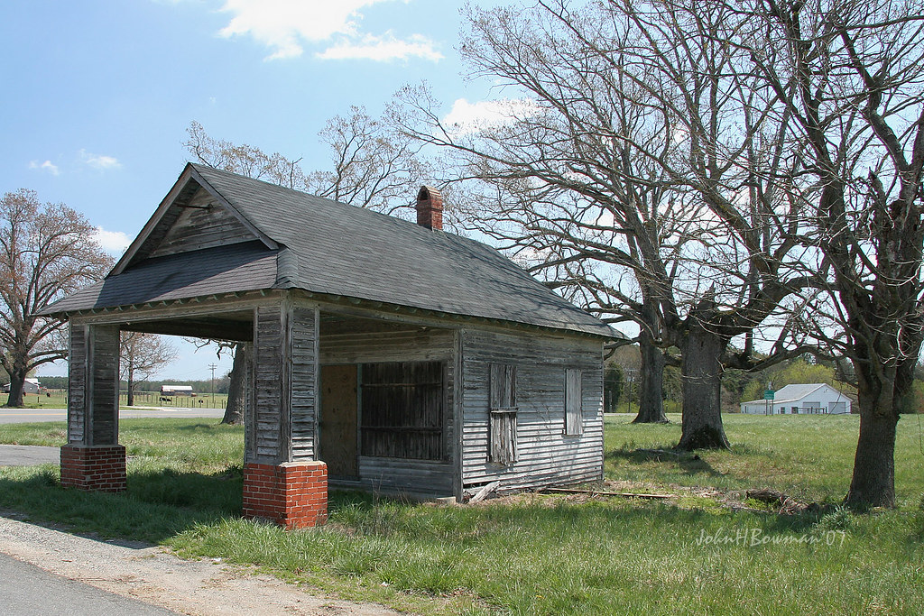
Old Gas Station, Another View

Store at Mt. Rush 6
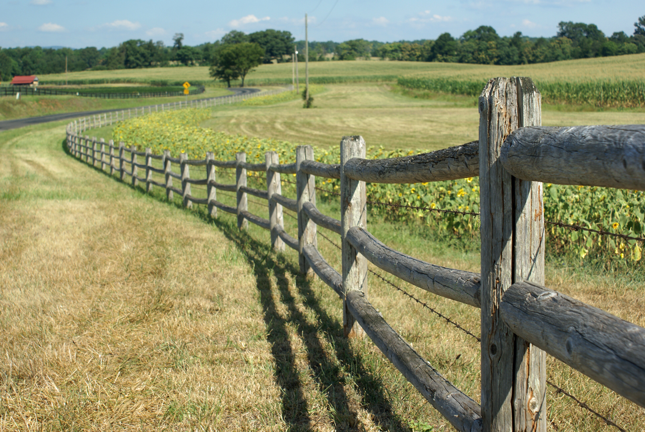
Sunflowers on 626
Store at Mt. Rush 5

Fancy Fence

Sunflowers & Barn
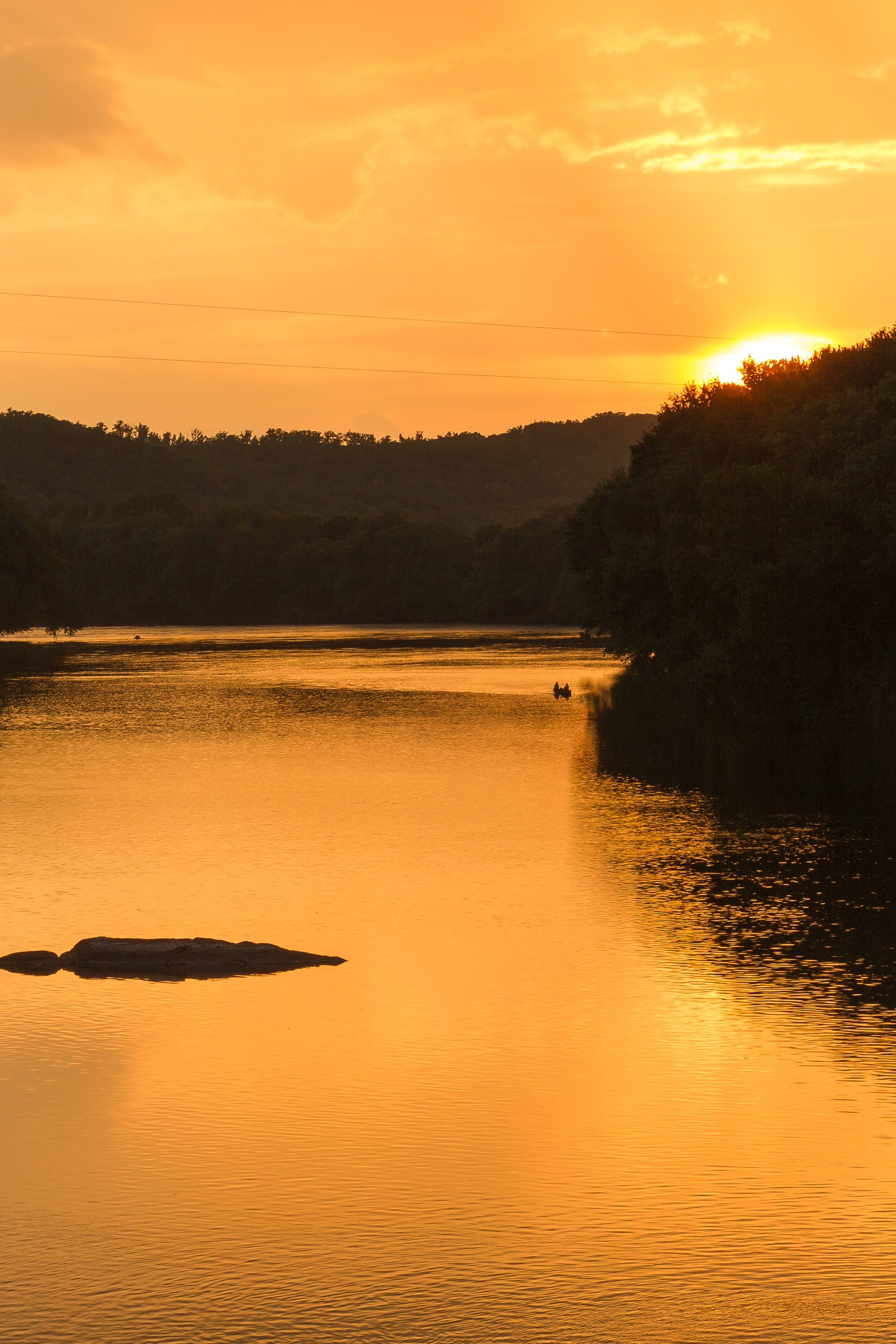
Sundown at Wingina
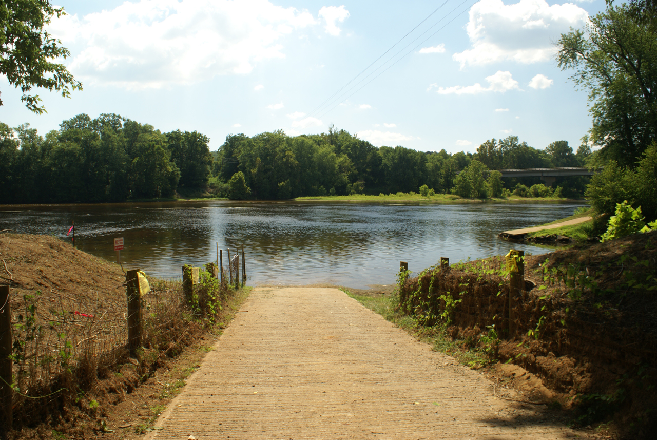
Baber's Landing
Buckingham, VA 028
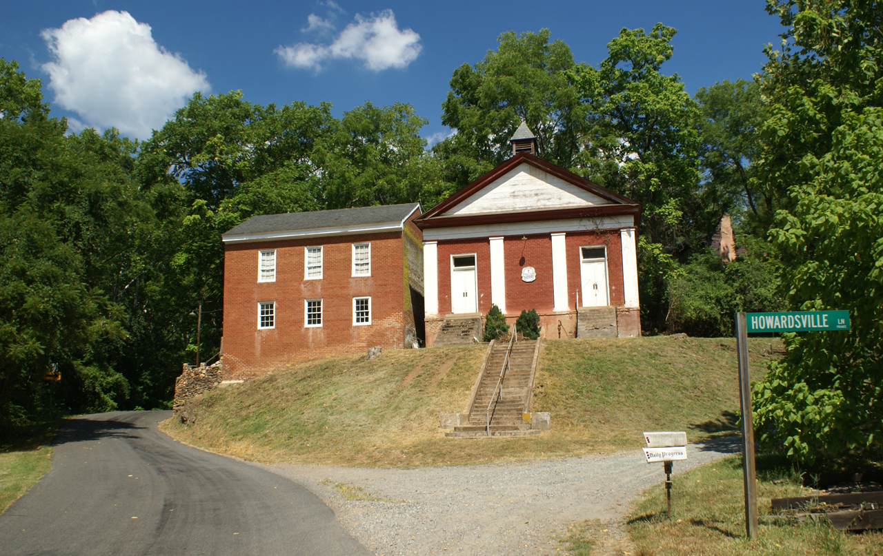
George Lodge 32, Howardsville
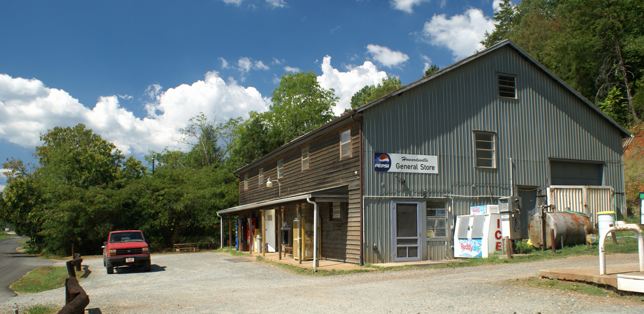
Howardsville General Store
The view from the campsite
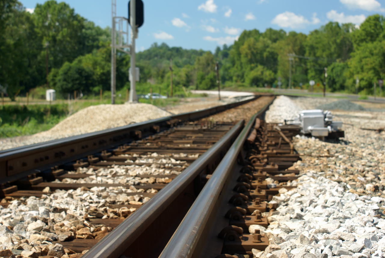
Howardsville Tracks
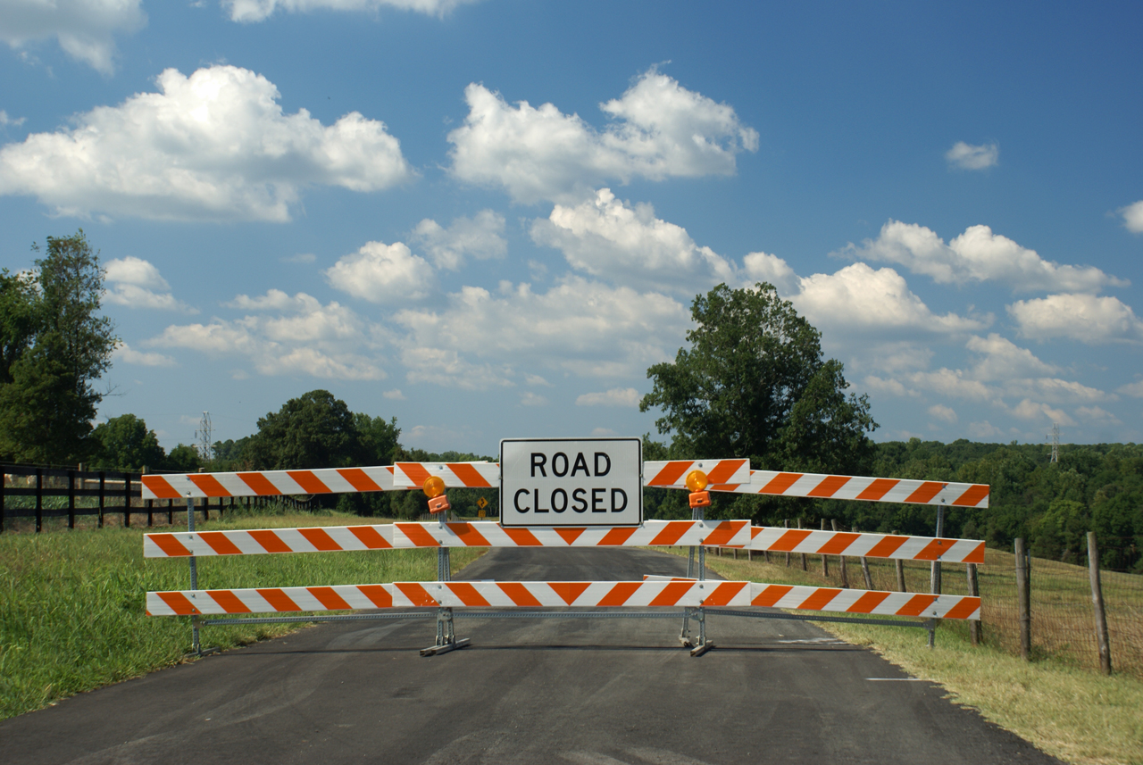
Route 626 Detour

View.

#AvonHill #Howardsville #AppalachianTrail #RockFish #Valley #Landscape #Thursday #Hike #Travel #Explore #Adventure #Instatravel
2013-10-06 13.36.15

#FamilyTies #Virginia #Happy #GoodTimes #Instafamily #Saturday #May #2014 #FamilyPicture #Appalachian #Mountains

Cicada Ride...or Hatton Ferry & Yogaville or Bust

Walking in the Woods.
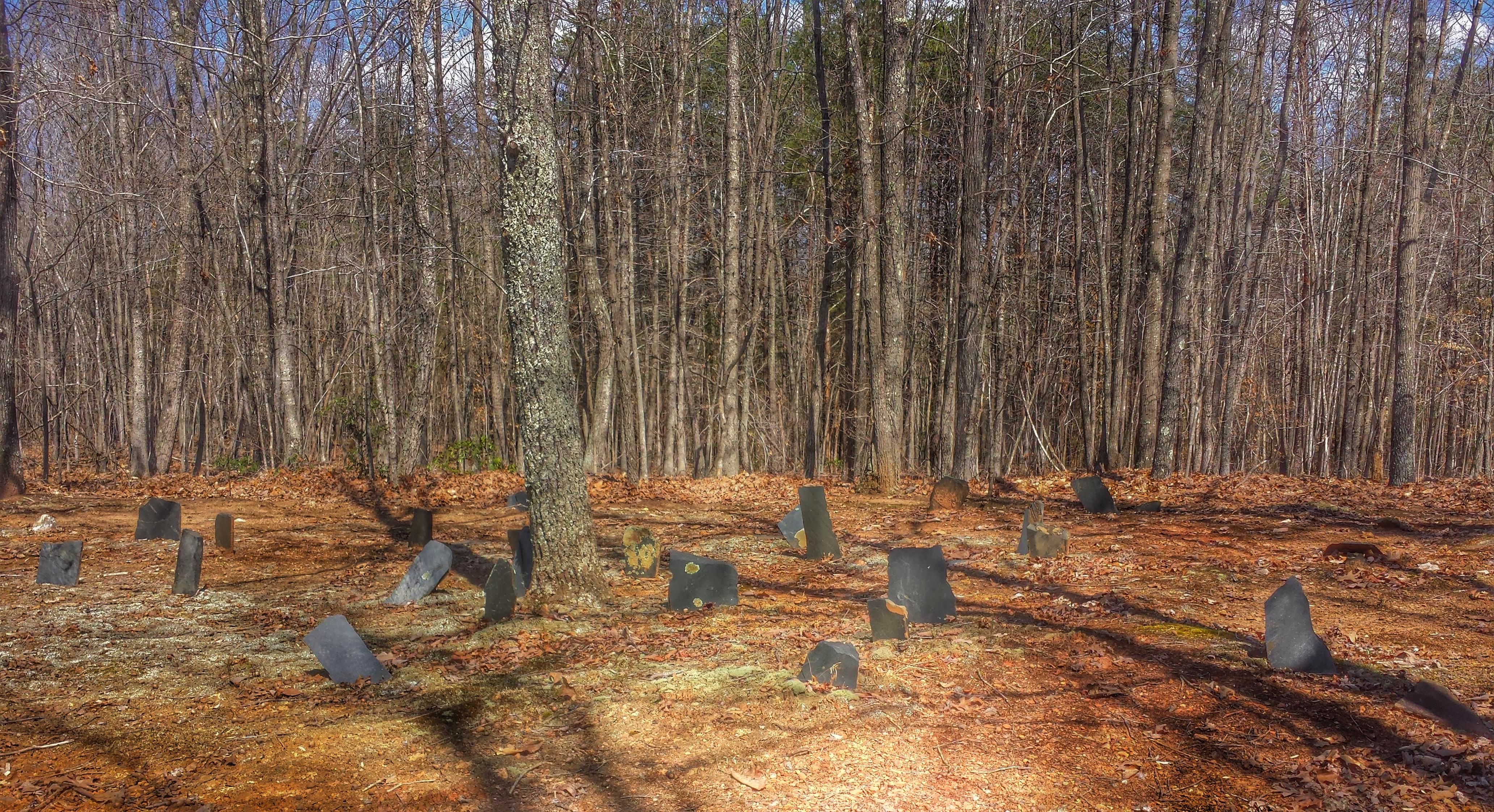
Stanton Family Cemetery- Buckingham County VA (4)
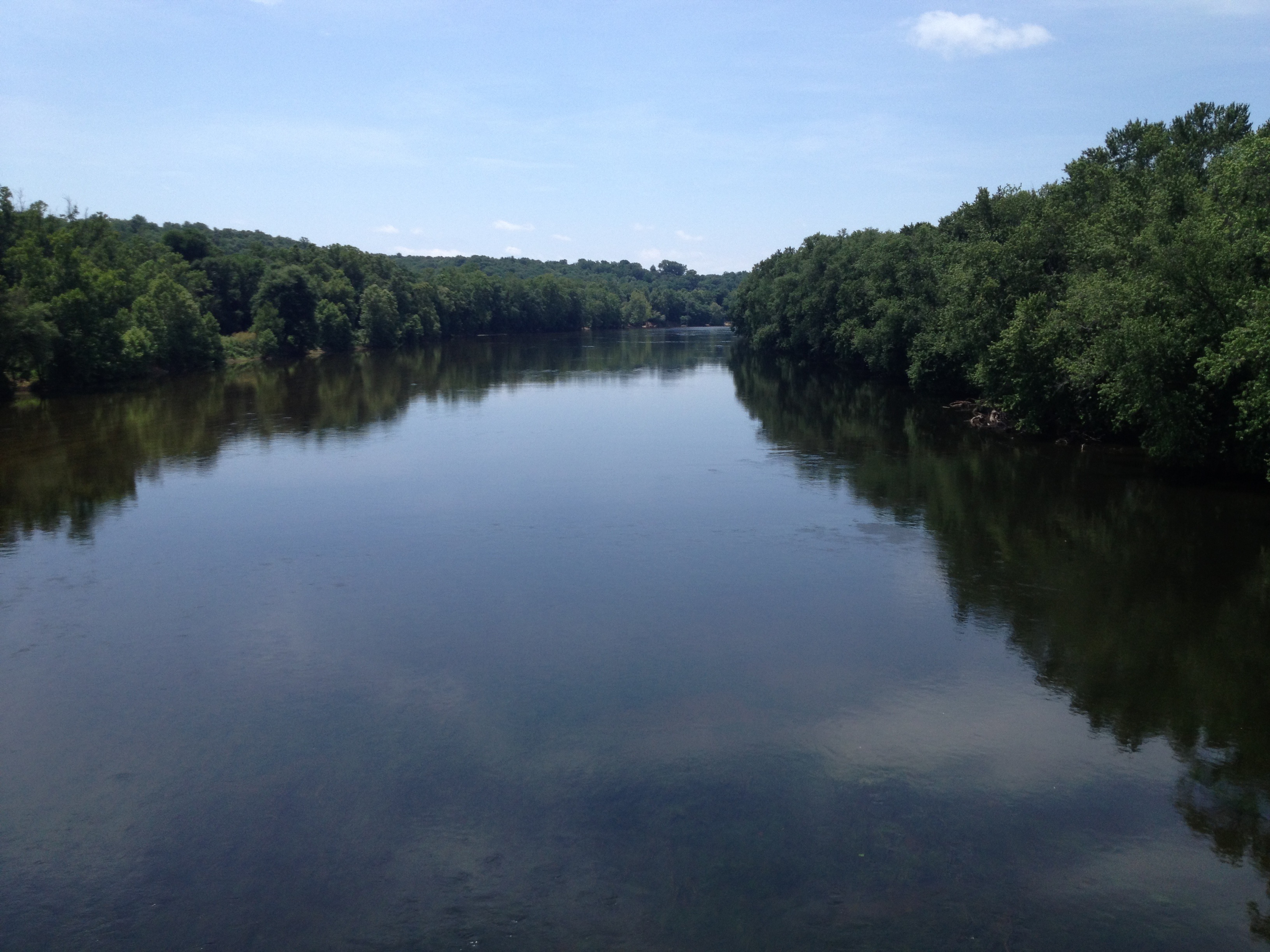
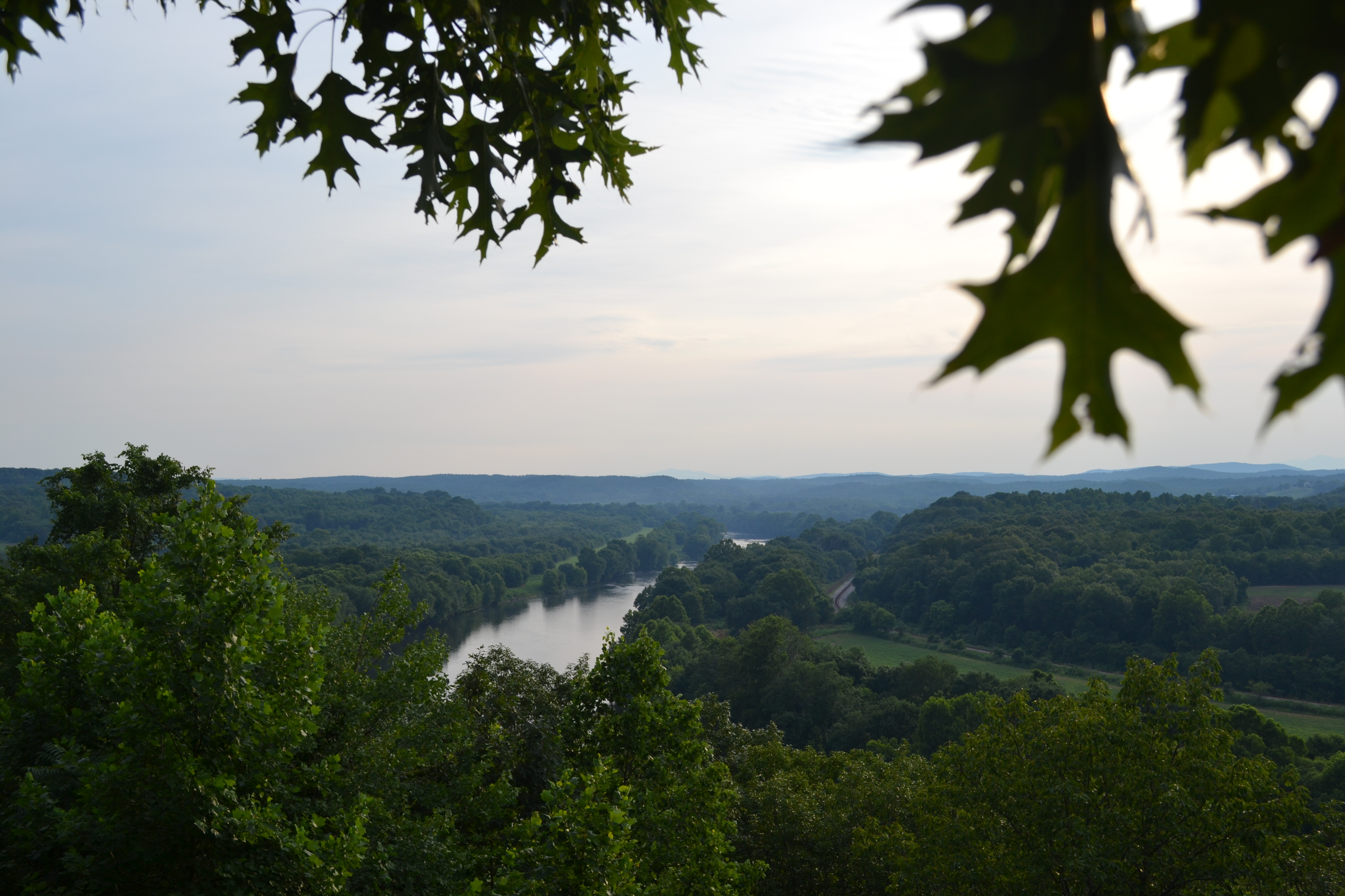
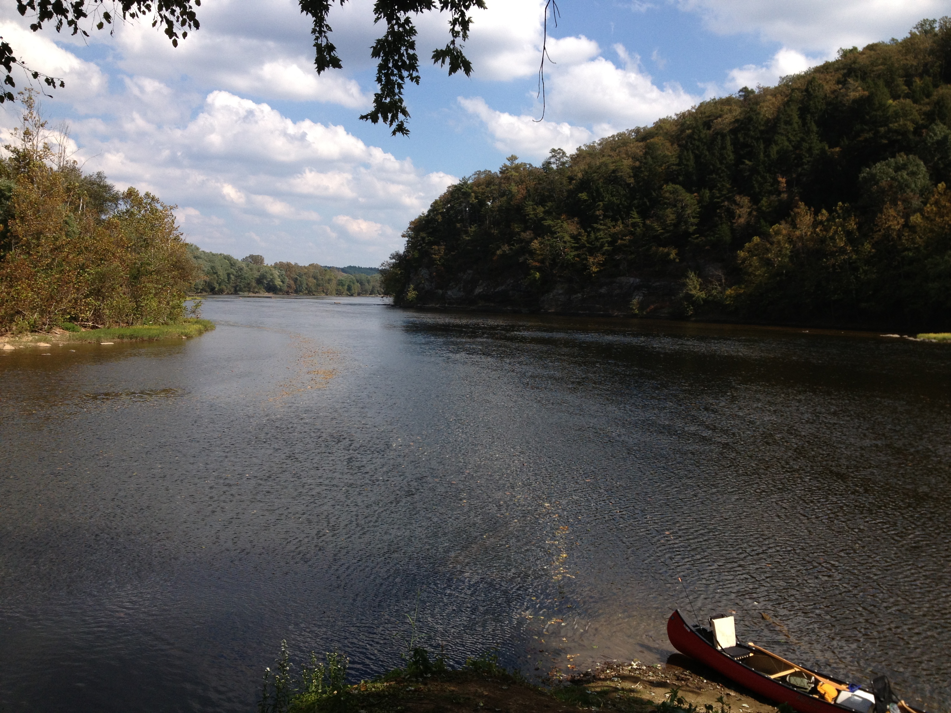
the mighty James... looking good...

Aqueduct abutments at Howardsville

Aqueduct abutments at Howardsville
Topographic Map of Ivy Road, Ivy Rd, Howardsville, VA, USA
Find elevation by address:

Places near Ivy Road, Ivy Rd, Howardsville, VA, USA:
Axtell
10787 Howardsville Rd
South Constitution Route
6, VA, USA
3927 Firehouse Rd
Manteo Rd, Buckingham, VA, USA
853 White Rock Rd
115 Charltons Ln
Cabell Rd, Howardsville, VA, USA
Howardsville
Howardsville
Howardsville
Howardsville
Howardsville
Howardsville
Howardsville
Howardsville
Howardsville
Howardsville
Howardsville
Recent Searches:
- Elevation of Corso Fratelli Cairoli, 35, Macerata MC, Italy
- Elevation of Tallevast Rd, Sarasota, FL, USA
- Elevation of 4th St E, Sonoma, CA, USA
- Elevation of Black Hollow Rd, Pennsdale, PA, USA
- Elevation of Oakland Ave, Williamsport, PA, USA
- Elevation of Pedrógão Grande, Portugal
- Elevation of Klee Dr, Martinsburg, WV, USA
- Elevation of Via Roma, Pieranica CR, Italy
- Elevation of Tavkvetili Mountain, Georgia
- Elevation of Hartfords Bluff Cir, Mt Pleasant, SC, USA