Elevation of Slate Point Rd, Paonia, CO, USA
Location: United States > Colorado > Delta County > Paonia >
Longitude: -107.662
Latitude: 38.8307
Elevation: 1705m / 5594feet
Barometric Pressure: 82KPa
Elevation Map:
Satellite Map:
Related Photos:

5/365

A good garden may have some weeds…

December 2020 Desktop Calendar

200710 Rocky Peaks

Mountain View Bible Church
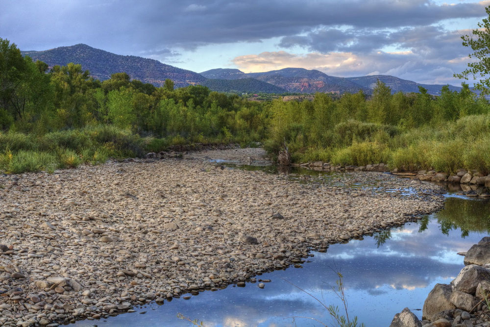
River park
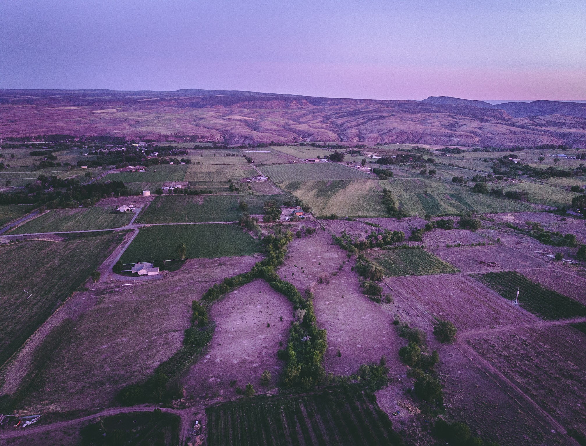
A view of the North fork valley from above.

Terror Road

Terror Creek Vineyard & Winery

Highway 92 - Delta County, CO

Mad Dog Ranch (2 of 2)
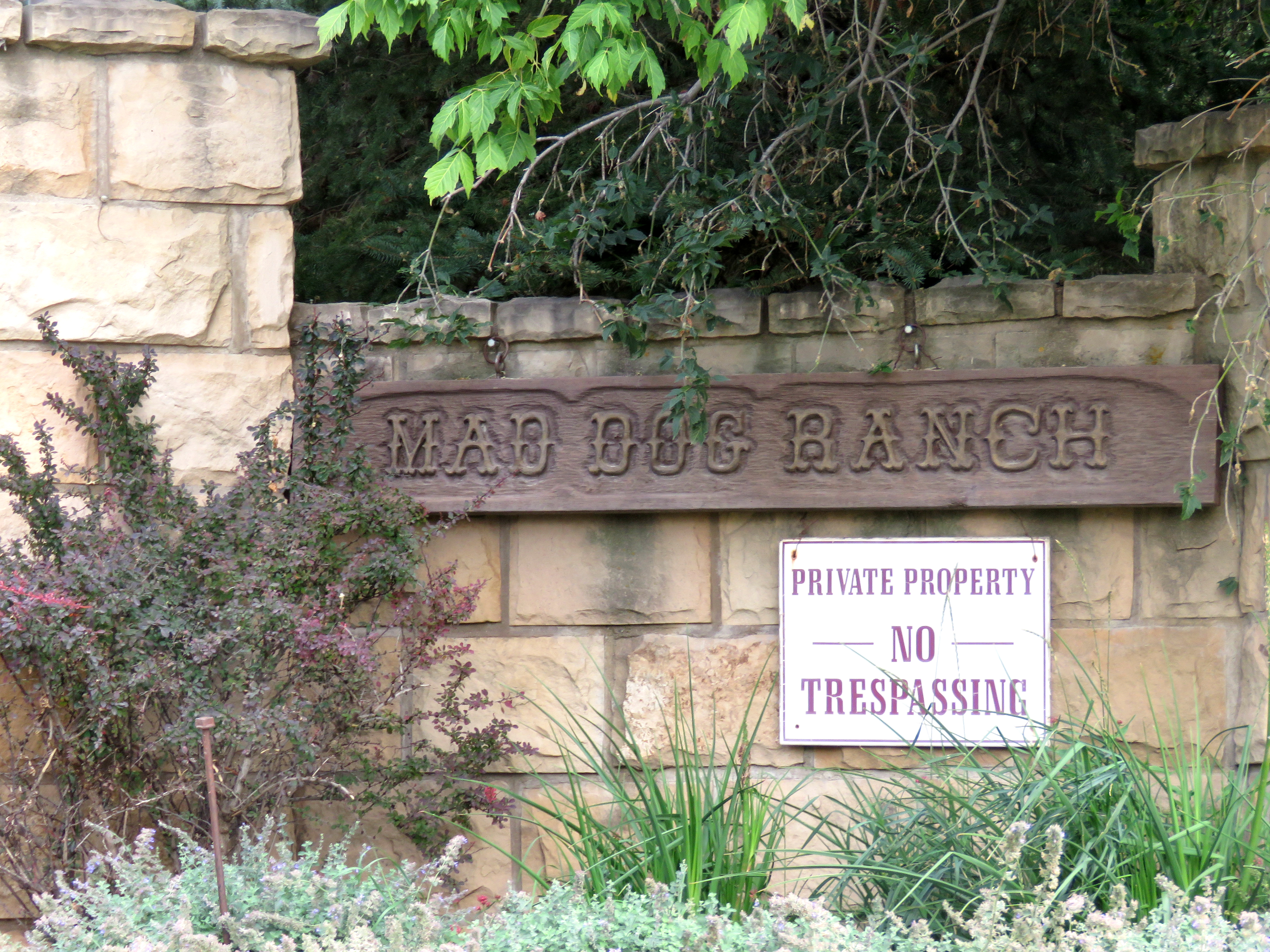
Mad Dog Ranch (1 of 2)

VIEW FROM THE BACK POND

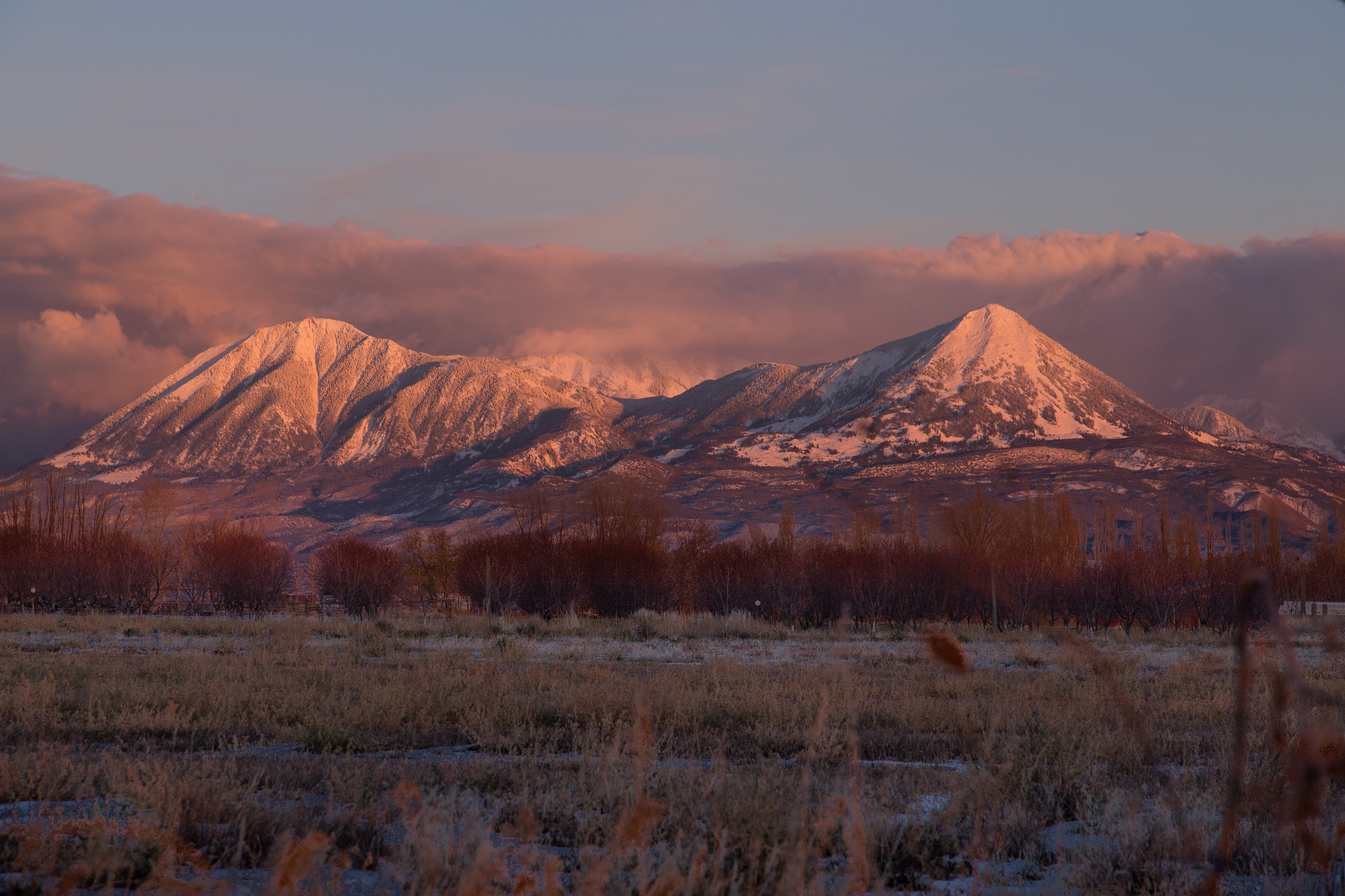
View of #Mount #Lamborn (#Elevation 11,402 ft (3,475 m)) #shrouded in #clouds as seen from Hotchkiss #Colorado Cemetery. The #Hotchkiss #Homestead, established in #1886 can be seen in the foreground.

apples this direction

vines framing mt. sopris

Road to Paonia.jpg

Bedroom View

View from the center of the lot back.

Cold Fire and Starlight

Near Crawford, CO

Rocky Mountain High

Enjoy Colorado Beef Everyday

Confluence of North and South Forks of the Gunnison River, somewhere near Hotchkiss, CO

The Drive Down from the Mesa
Sunset after Storm Clearing

Needle Rock

Needle Rock

IMGP0122-Edit

Needle Rock

Needle Rock

Three of a kind

IMGP0094-Edit

Needle Rock

R.I.P. Joe Cocker

Needle Rock

Here, There and Beyond
Topographic Map of Slate Point Rd, Paonia, CO, USA
Find elevation by address:

Places near Slate Point Rd, Paonia, CO, USA:
Coburn Rd, Paonia, CO, USA
856 Short Rd
504 Juniper St
Hotchkiss
Owl Lane
6266 Rolling Hills Rd
10024 3300 Rd
33052 J Rd
38504 Yeoman Rd
31505 Co-92
31490 Co-92
CO-92, Crawford, CO, USA
32551 Co-92
Rd, Hotchkiss, CO, USA
30762 L Rd
30758 L Rd
30538 North Rd
8937 3100 Rd #8921
Rd, Hotchkiss, CO, USA
41829 Cottonwood Creek Rd
Recent Searches:
- Elevation of Corso Fratelli Cairoli, 35, Macerata MC, Italy
- Elevation of Tallevast Rd, Sarasota, FL, USA
- Elevation of 4th St E, Sonoma, CA, USA
- Elevation of Black Hollow Rd, Pennsdale, PA, USA
- Elevation of Oakland Ave, Williamsport, PA, USA
- Elevation of Pedrógão Grande, Portugal
- Elevation of Klee Dr, Martinsburg, WV, USA
- Elevation of Via Roma, Pieranica CR, Italy
- Elevation of Tavkvetili Mountain, Georgia
- Elevation of Hartfords Bluff Cir, Mt Pleasant, SC, USA