Elevation of Rolling Hills Rd, Hotchkiss, CO, USA
Location: United States > Colorado > Hotchkiss >
Longitude: -107.67213
Latitude: 38.7467118
Elevation: 1840m / 6037feet
Barometric Pressure: 81KPa
Elevation Map:
Satellite Map:
Related Photos:

A good garden may have some weeds…
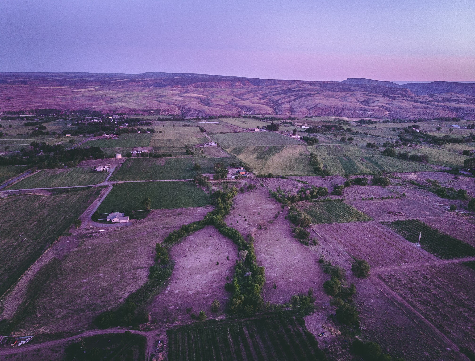
A view of the North fork valley from above.

5/365

Gunnison Gorge (Explore)
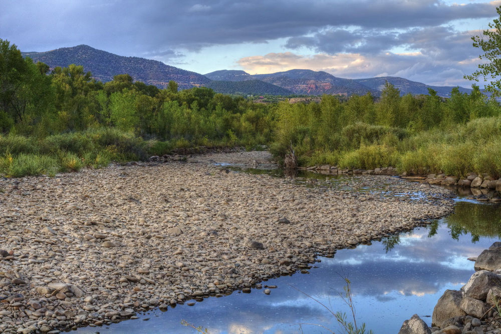
River park

Highway 92 - Delta County, CO
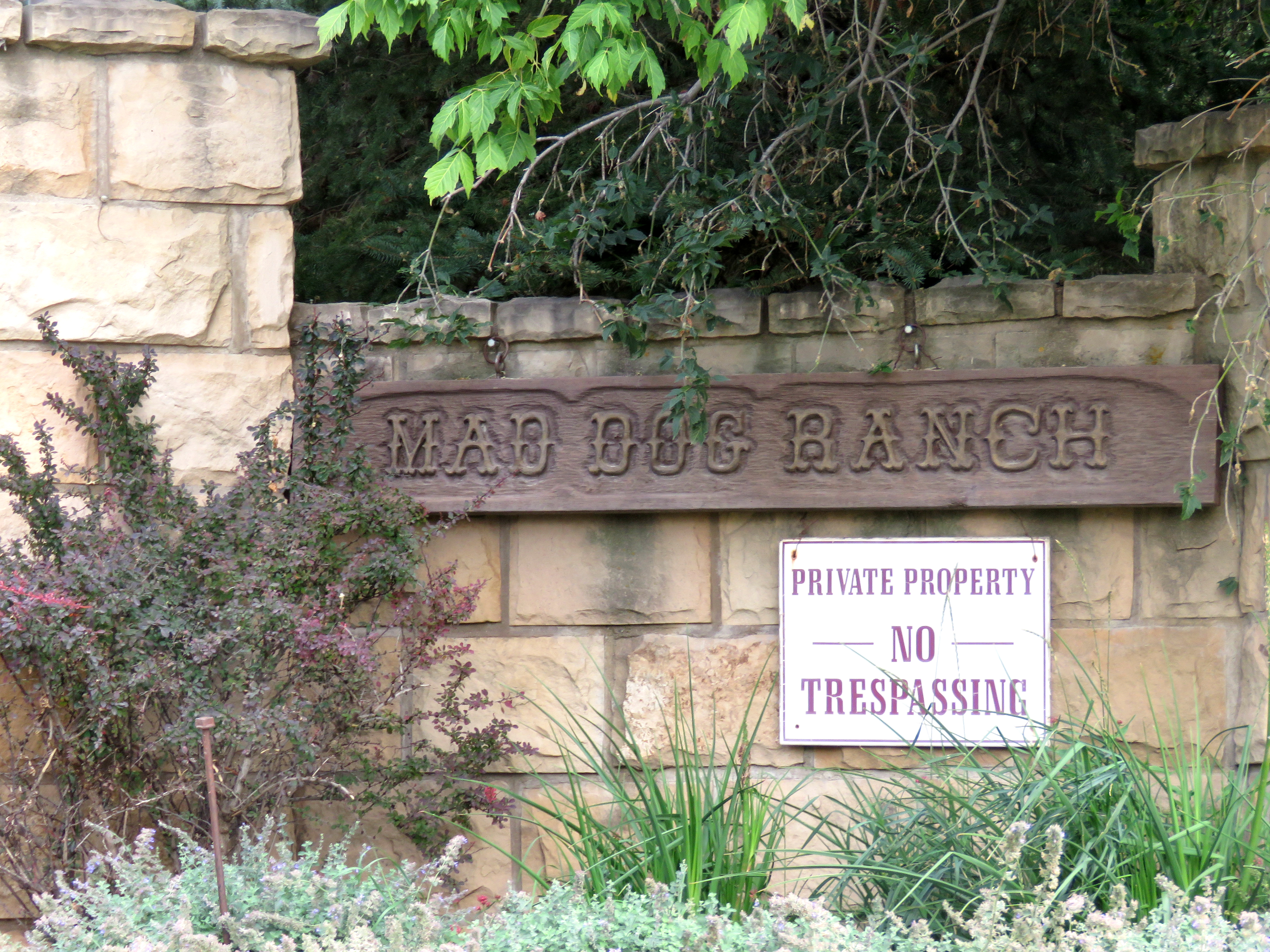
Mad Dog Ranch (1 of 2)

Mad Dog Ranch (2 of 2)
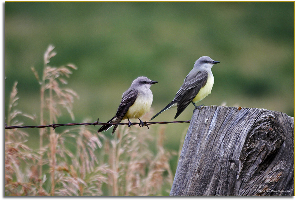
Beautiful Pair of Western Kingbirds,Gunnison,CO.

Mountain View Bible Church

VIEW FROM THE BACK POND

View of #Mount #Lamborn (#Elevation 11,402 ft (3,475 m)) #shrouded in #clouds as seen from Hotchkiss #Colorado Cemetery. The #Hotchkiss #Homestead, established in #1886 can be seen in the foreground.

Road to Paonia.jpg

Bedroom View

View from the center of the lot back.

Black Canyon Road
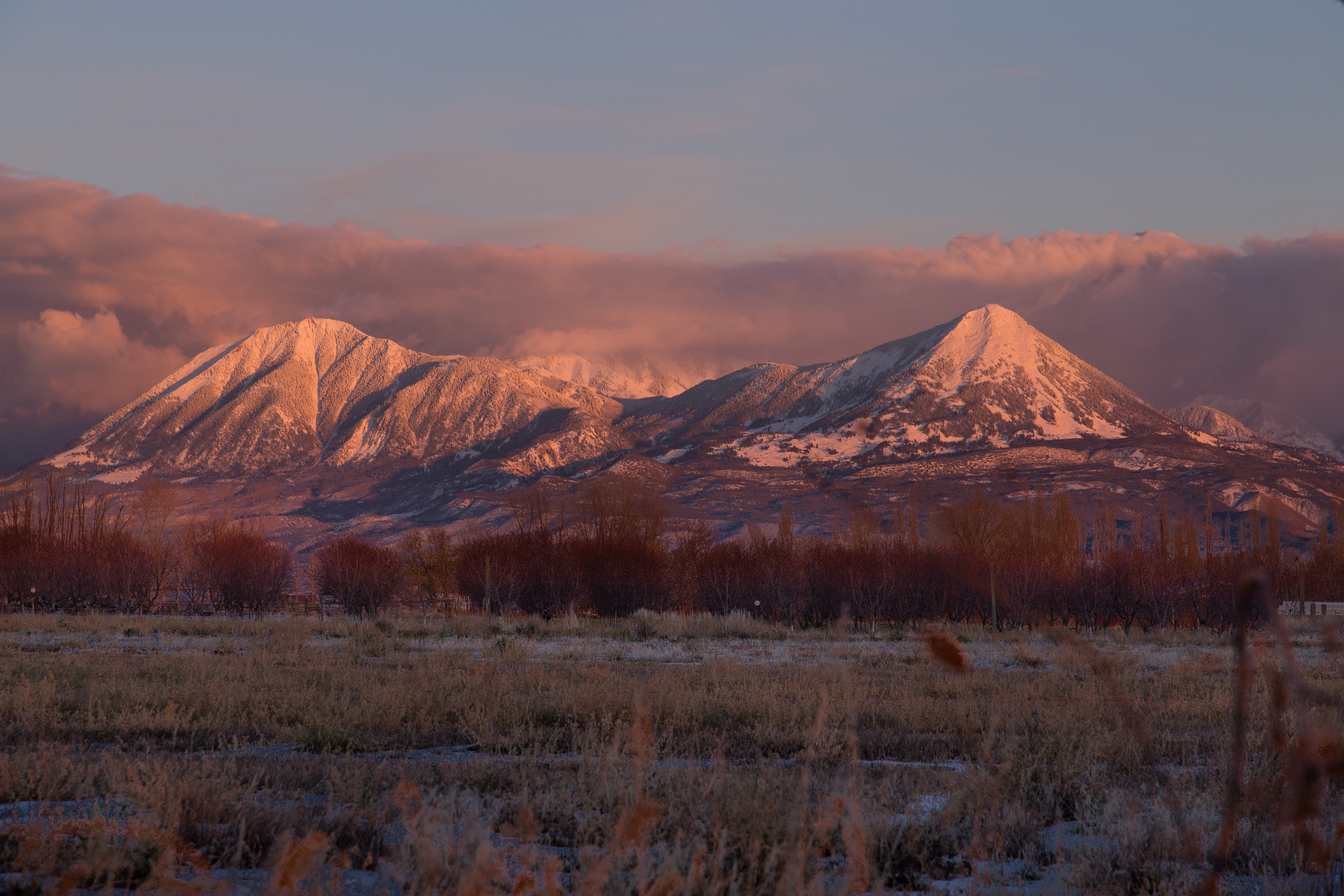
Sunset after Storm Clearing

Needle Rock

Needle Rock

IMGP0122-Edit

Needle Rock

Needle Rock

Needle Rock

R.I.P. Joe Cocker

IMGP0094-Edit

Needle Rock

Near Crawford, CO

Needle Rock
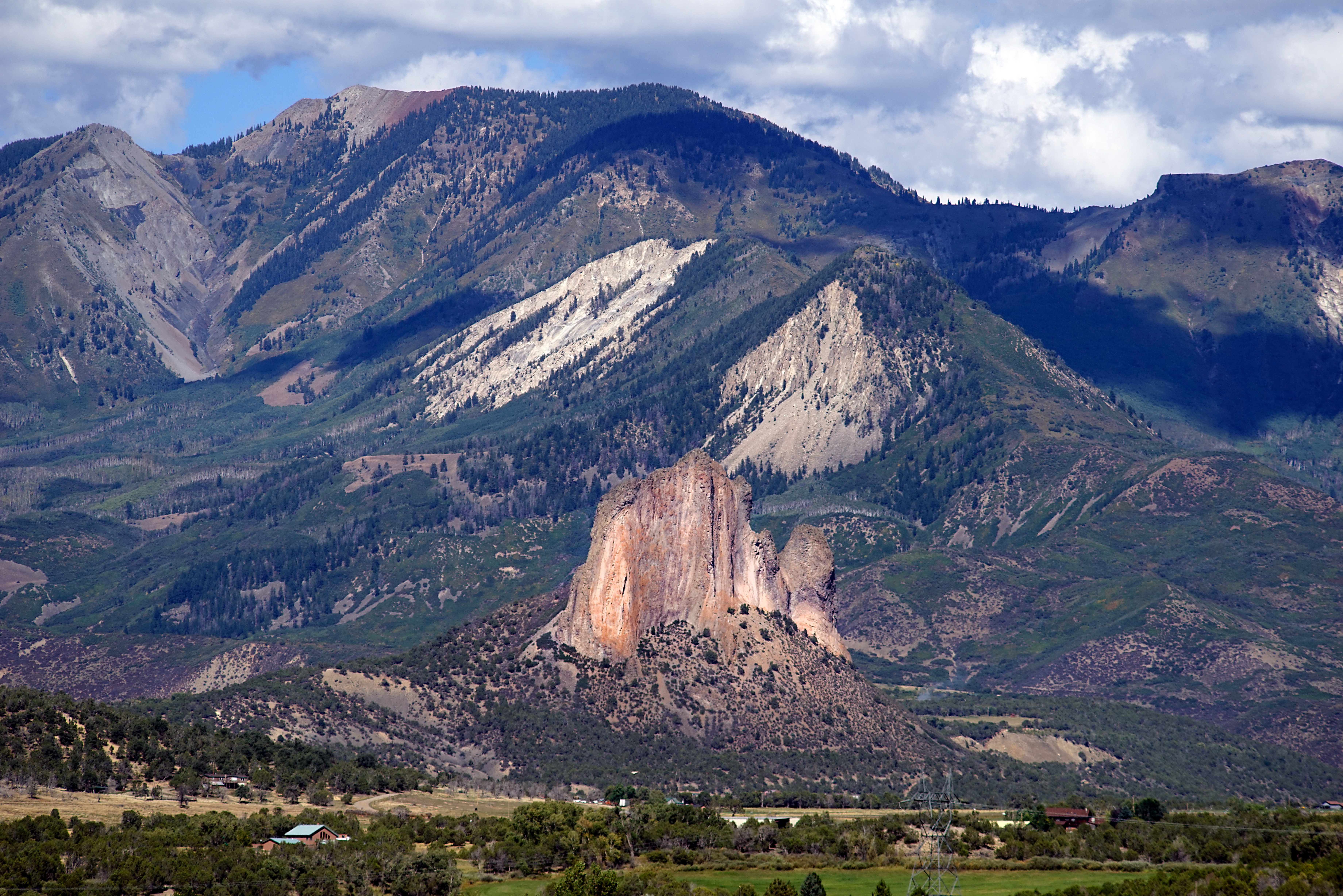
Needle Rock
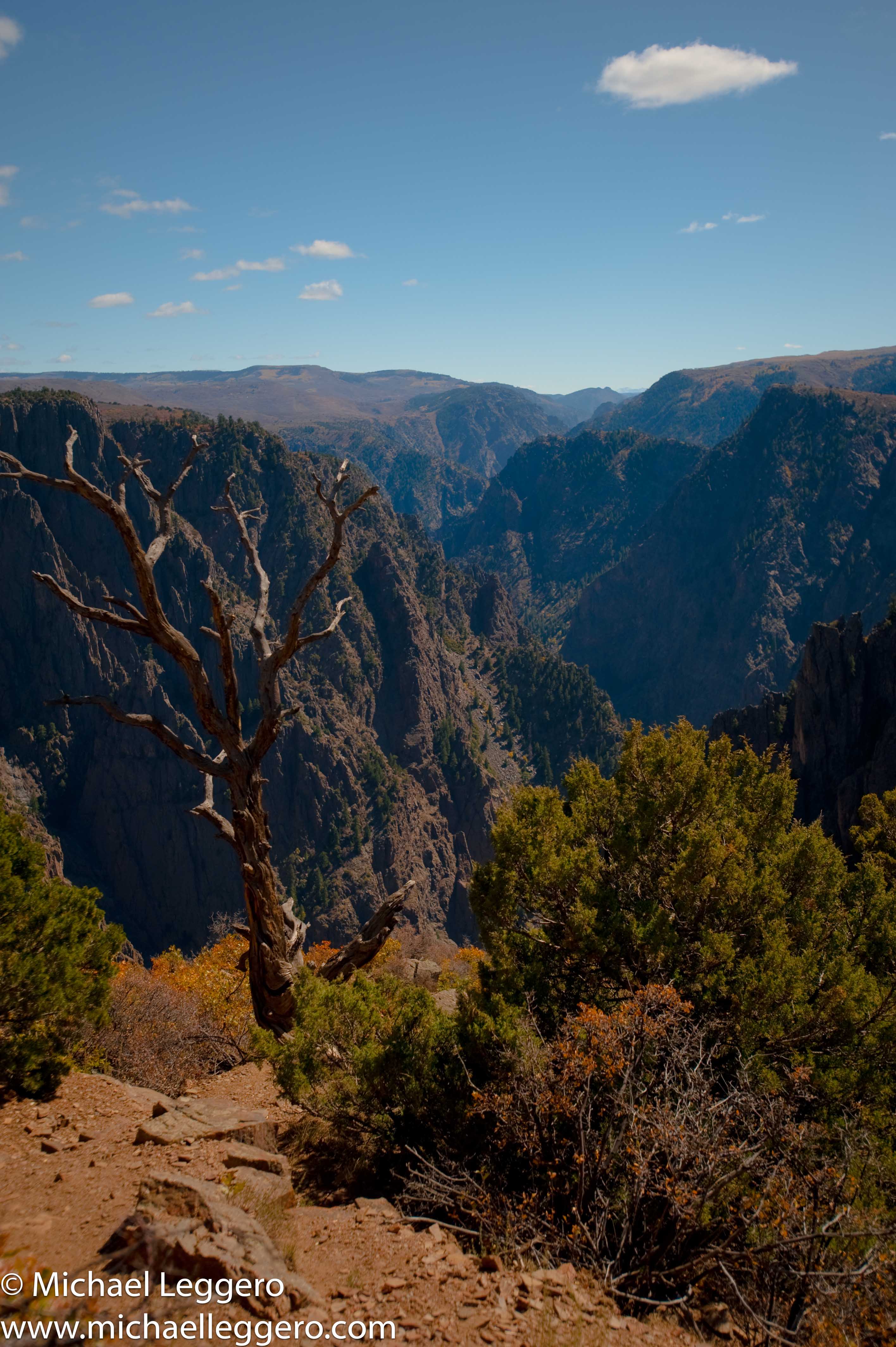
black canyon of gunnison

Mount Lamborn and Land's End Peak

Yurt_Trip-0081-PSedit.jpg

Crawford, CO
Topographic Map of Rolling Hills Rd, Hotchkiss, CO, USA
Find elevation by address:

Places near Rolling Hills Rd, Hotchkiss, CO, USA:
38504 Yeoman Rd
CO-92, Crawford, CO, USA
Owl Lane
856 Short Rd
39881 Fruitland Mesa Rd
Hotchkiss
38256 Fruitland Mesa Rd
504 Juniper St
Crawford
4770 Scenic Mesa Rd
34091 B25 Rd
33052 J Rd
78212 Basalt Rd
12123 Slate Point Rd
33732 B25 Rd
40300 D Rd
10024 3300 Rd
41829 Cottonwood Creek Rd
32310 B50 Rd
Coburn Rd, Paonia, CO, USA
Recent Searches:
- Elevation of Corso Fratelli Cairoli, 35, Macerata MC, Italy
- Elevation of Tallevast Rd, Sarasota, FL, USA
- Elevation of 4th St E, Sonoma, CA, USA
- Elevation of Black Hollow Rd, Pennsdale, PA, USA
- Elevation of Oakland Ave, Williamsport, PA, USA
- Elevation of Pedrógão Grande, Portugal
- Elevation of Klee Dr, Martinsburg, WV, USA
- Elevation of Via Roma, Pieranica CR, Italy
- Elevation of Tavkvetili Mountain, Georgia
- Elevation of Hartfords Bluff Cir, Mt Pleasant, SC, USA