Elevation of Paonia, CO, USA
Location: United States > Colorado > Delta County >
Longitude: -107.59200
Latitude: 38.8683204
Elevation: 1732m / 5682feet
Barometric Pressure: 82KPa
Elevation Map:
Satellite Map:
Related Photos:

5/365
Bedroom View
View from the center of the lot back.
Road to Paonia.jpg

View of #Mount #Lamborn (#Elevation 11,402 ft (3,475 m)) #shrouded in #clouds as seen from Hotchkiss #Colorado Cemetery. The #Hotchkiss #Homestead, established in #1886 can be seen in the foreground.
Spring water time

Near Crawford, CO

Slick Picnic
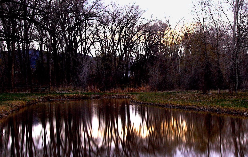
Sunset Reflection
The Front Yard
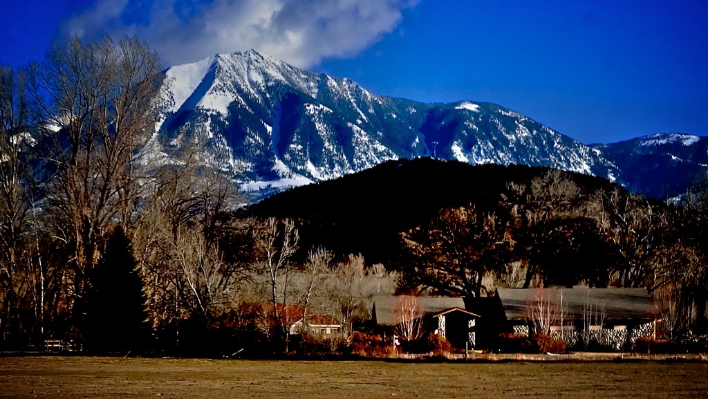
Pictures Near Paonia Colorado - 41
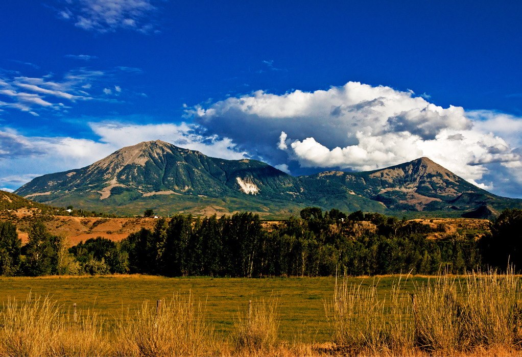
Pictures Near Paonia Colorado - 32
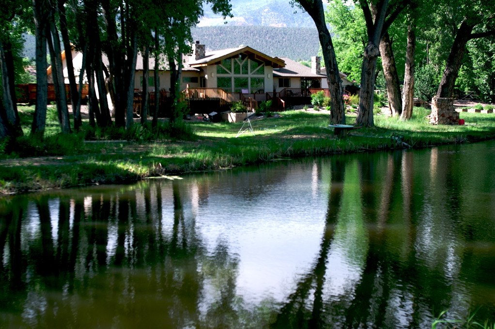
Refections of the House

6tag_151013-115735

6tag_151013-115735

WP_20131015_11_40_57_Pro.jpg

Pictures Near Paonia Colorado - 38

Glisten or Listen
WP_20131015_11_40_57_Pro.jpg
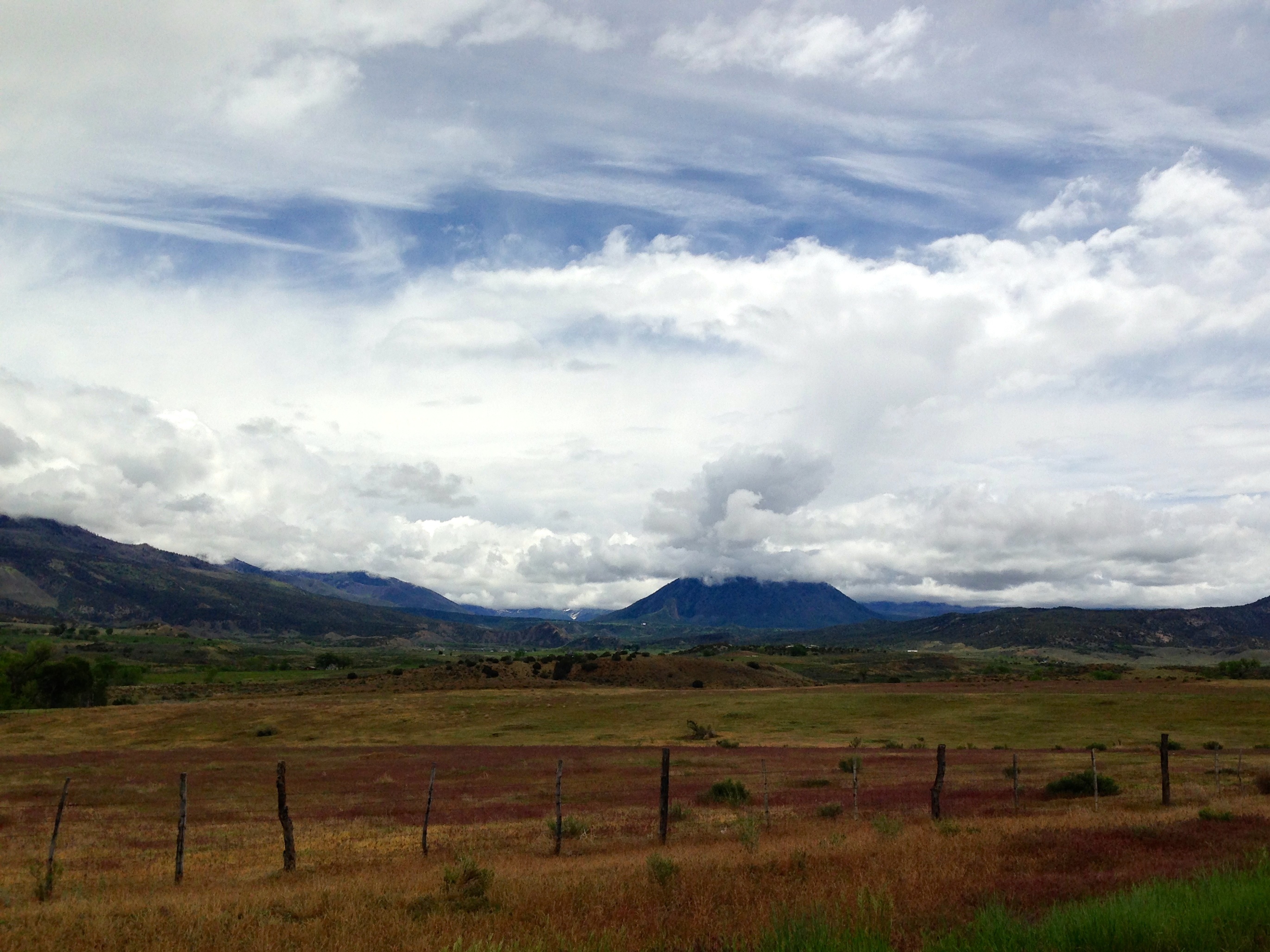
Nr. Crawford, Colorado
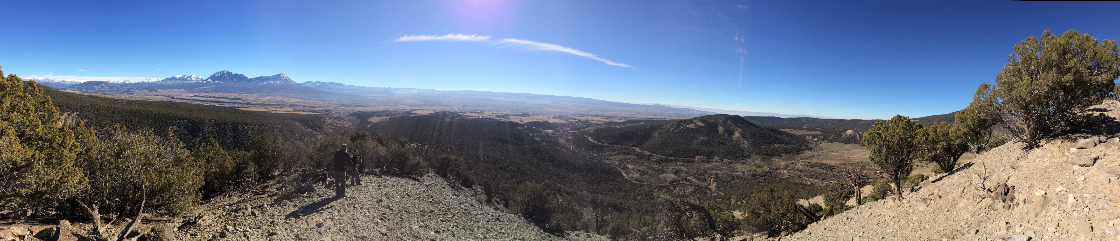
Pano from local peak

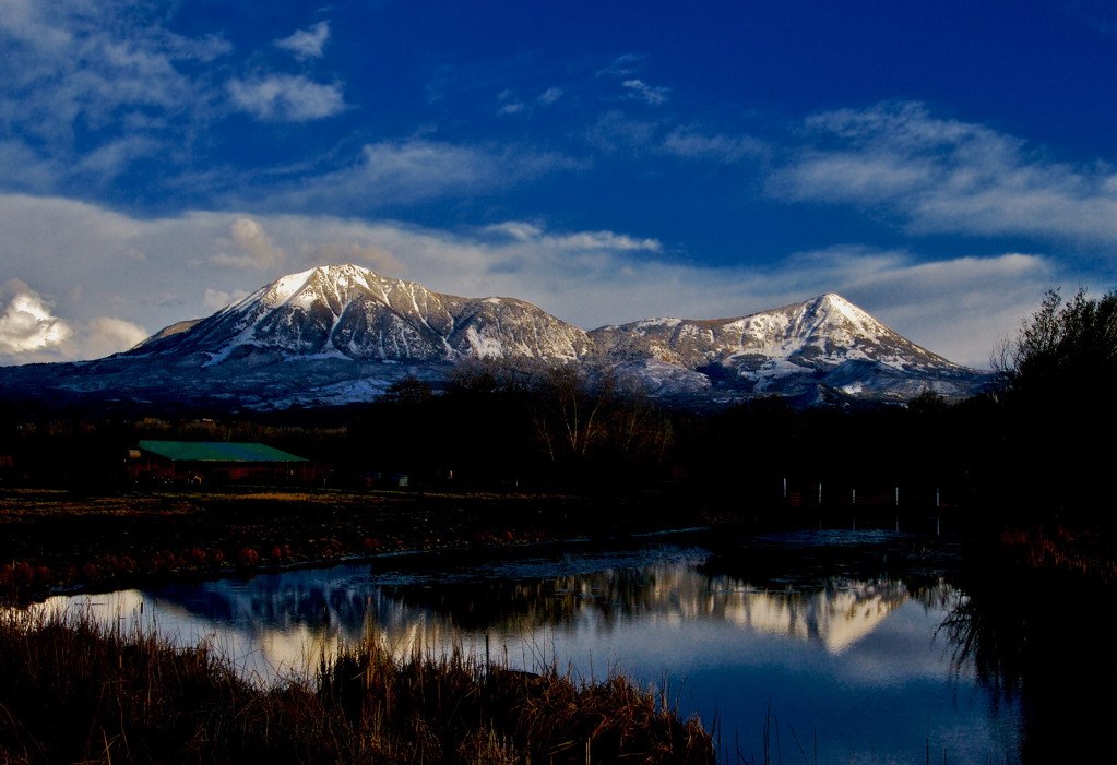
Rockies at sunset

Vesper cf. bulbosus

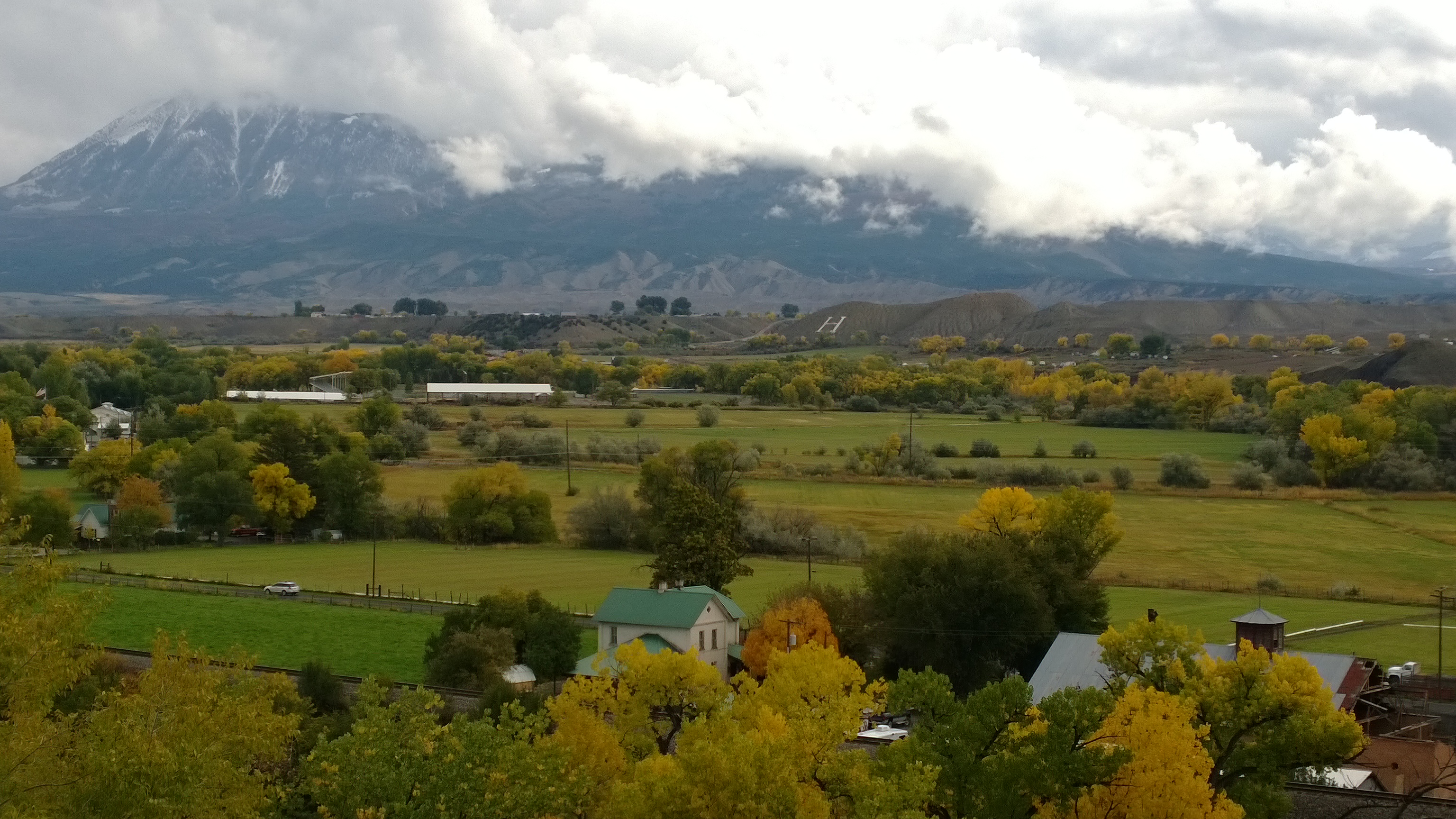
Downtown Paonia Colorado
Topographic Map of Paonia, CO, USA
Find elevation by address:

Places in Paonia, CO, USA:
Electric Mountain
Crater Peak
Doughty Mountain
Coburn Rd, Paonia, CO, USA
1st Street
Bowie Rd, Paonia, CO, USA
Minnesota Creek Road
Places near Paonia, CO, USA:
1st Street
1200 3rd St
446 Vista Dr
38681 Stucker Mesa Rd
13793 3750 Rd
Oak Mesa
Delta County
Doughty Mountain
18880 3100 Rd
30476 Redlands Mesa Rd
Rapid Creek Road
P 50 Road
P 50 Road
28511 P25
28444 Redlands Mesa Rd
14418 2800 Rd
27997 P25
17554 Current Creek Rd
2750 Lane
14769 Rimrock Rd
Recent Searches:
- Elevation of Corso Fratelli Cairoli, 35, Macerata MC, Italy
- Elevation of Tallevast Rd, Sarasota, FL, USA
- Elevation of 4th St E, Sonoma, CA, USA
- Elevation of Black Hollow Rd, Pennsdale, PA, USA
- Elevation of Oakland Ave, Williamsport, PA, USA
- Elevation of Pedrógão Grande, Portugal
- Elevation of Klee Dr, Martinsburg, WV, USA
- Elevation of Via Roma, Pieranica CR, Italy
- Elevation of Tavkvetili Mountain, Georgia
- Elevation of Hartfords Bluff Cir, Mt Pleasant, SC, USA