Elevation of P25, Hotchkiss, CO, USA
Location: United States > Colorado > Hotchkiss >
Longitude: -107.82328
Latitude: 38.8816171
Elevation: 2093m / 6867feet
Barometric Pressure: 79KPa
Elevation Map:
Satellite Map:
Related Photos:
5/365

Old farm equipment #2

A good garden may have some weeds…
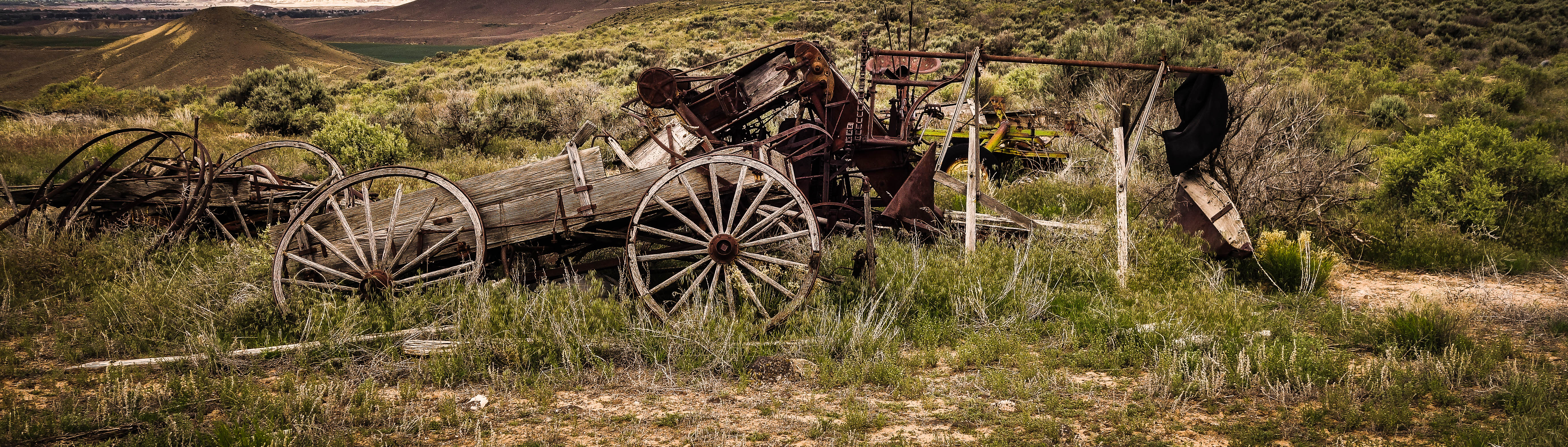
Old farm equipment #1
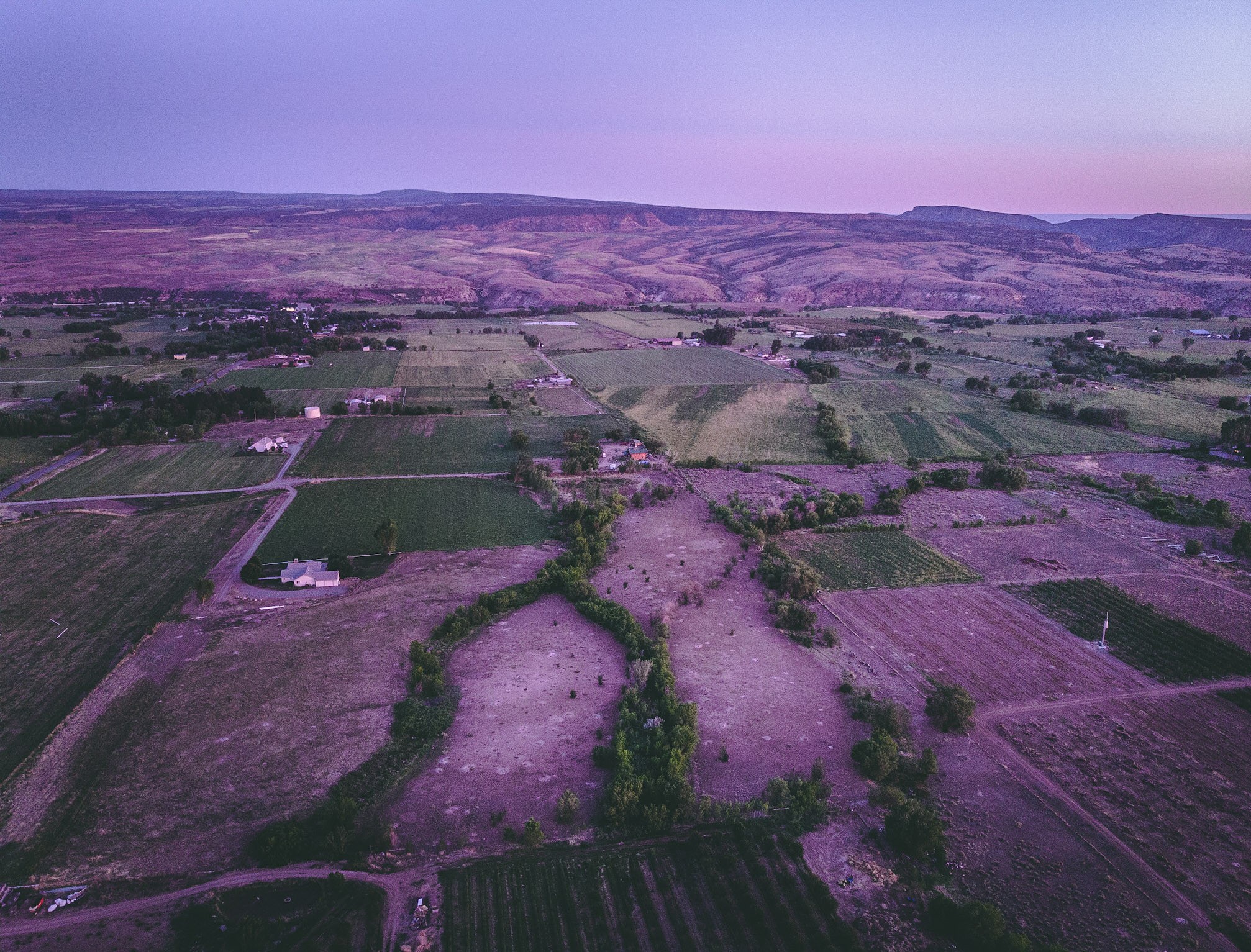
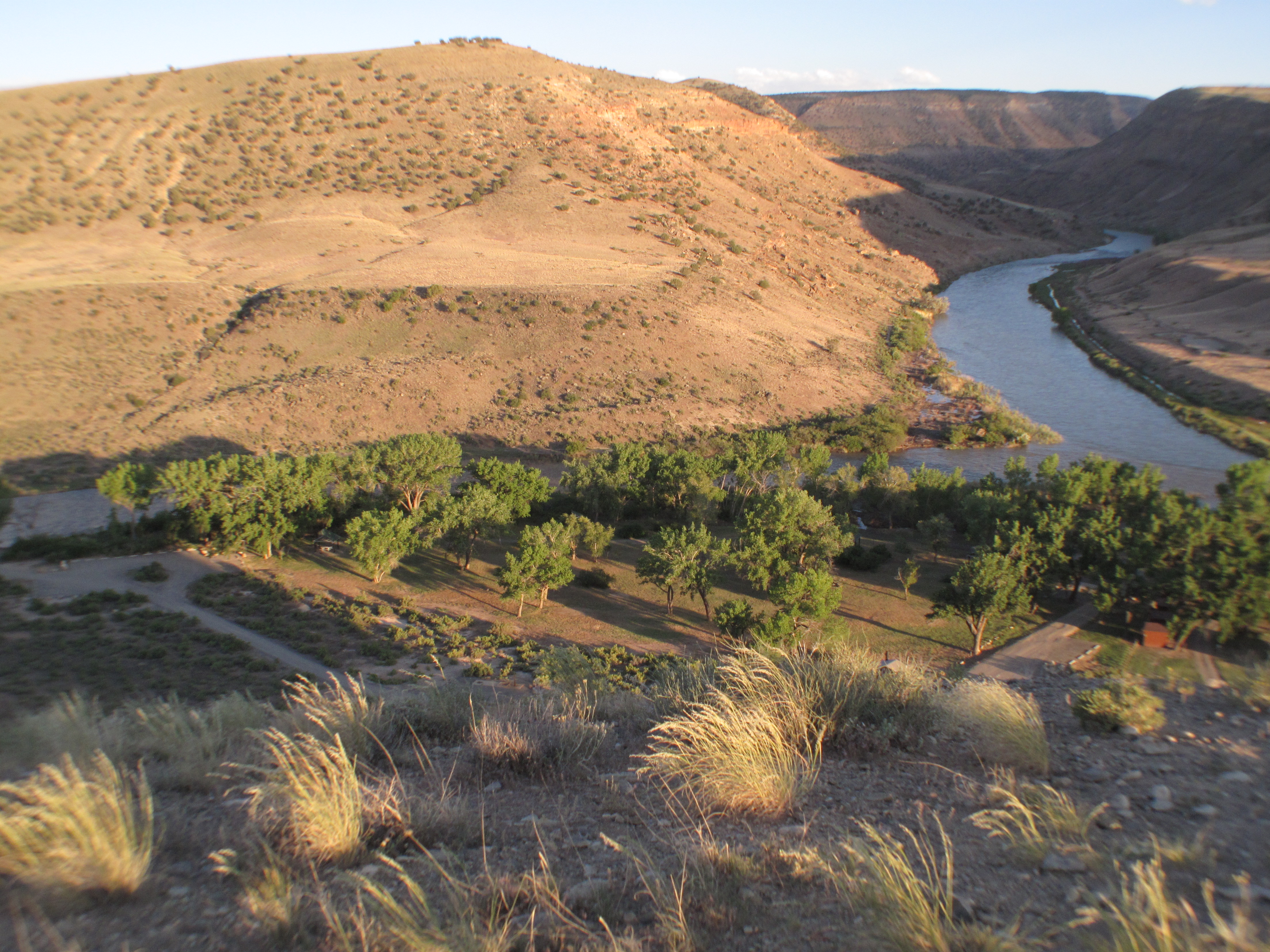
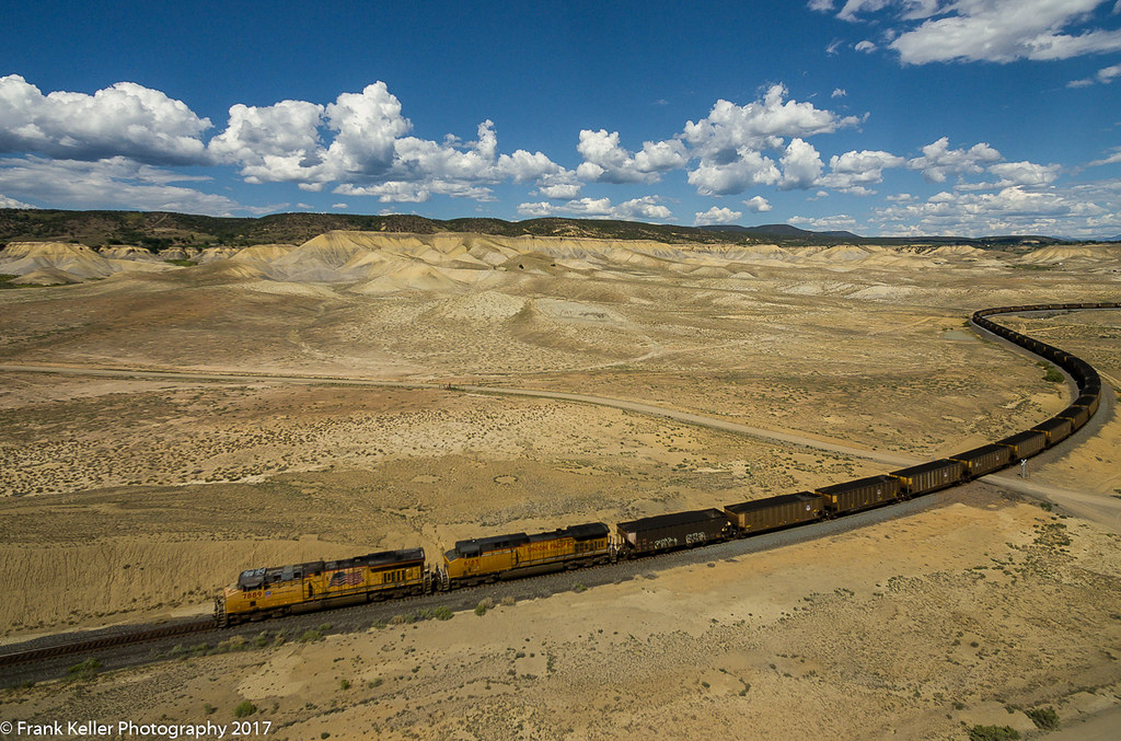
A view of the North fork valley from above.
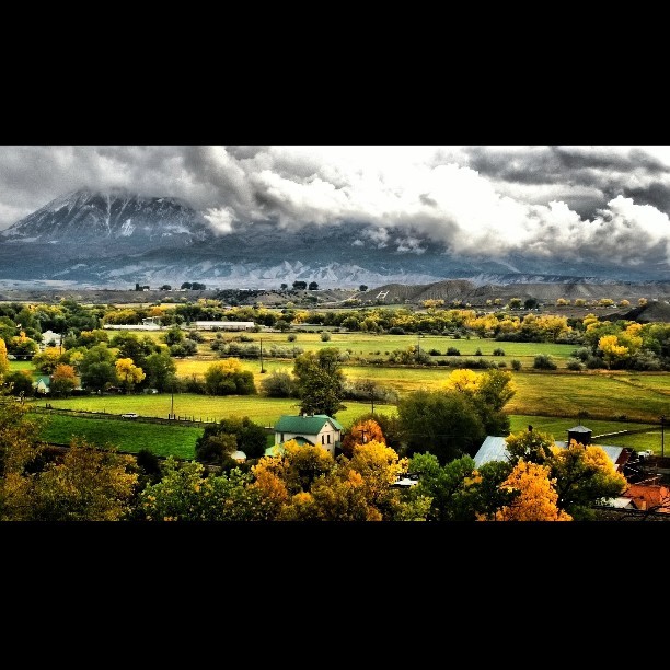
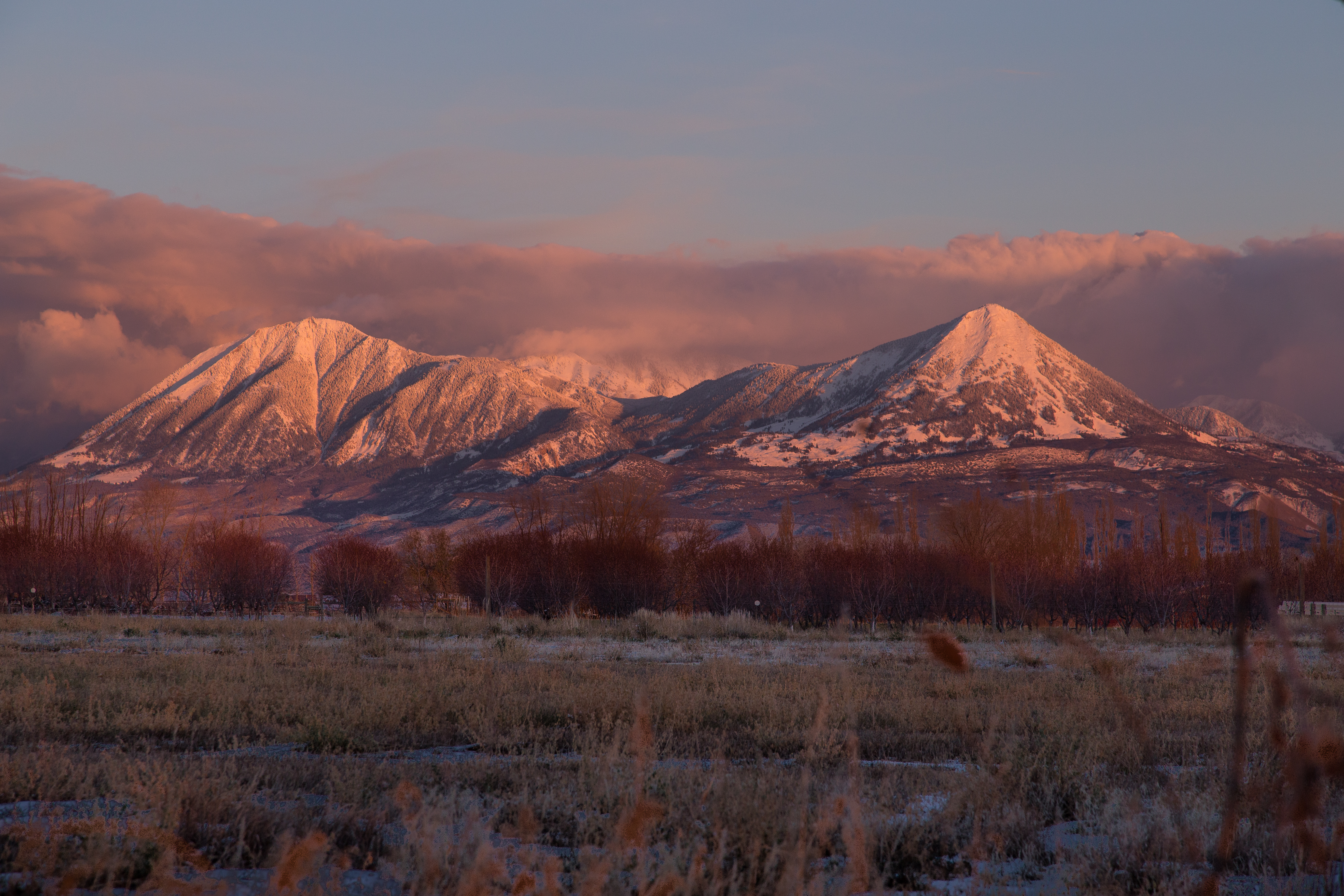
View of #Mount #Lamborn (#Elevation 11,402 ft (3,475 m)) #shrouded in #clouds as seen from Hotchkiss #Colorado Cemetery. The #Hotchkiss #Homestead, established in #1886 can be seen in the foreground.

Mountain View Bible Church

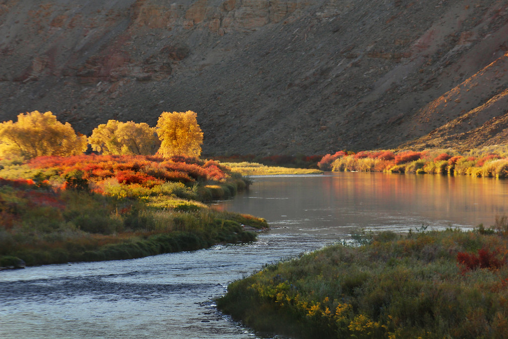
North Fork varnish

Austin Hoseshoe
Confluence of North and South Forks of the Gunnison River, somewhere near Hotchkiss, CO

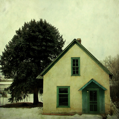
The Cottenwood in winter
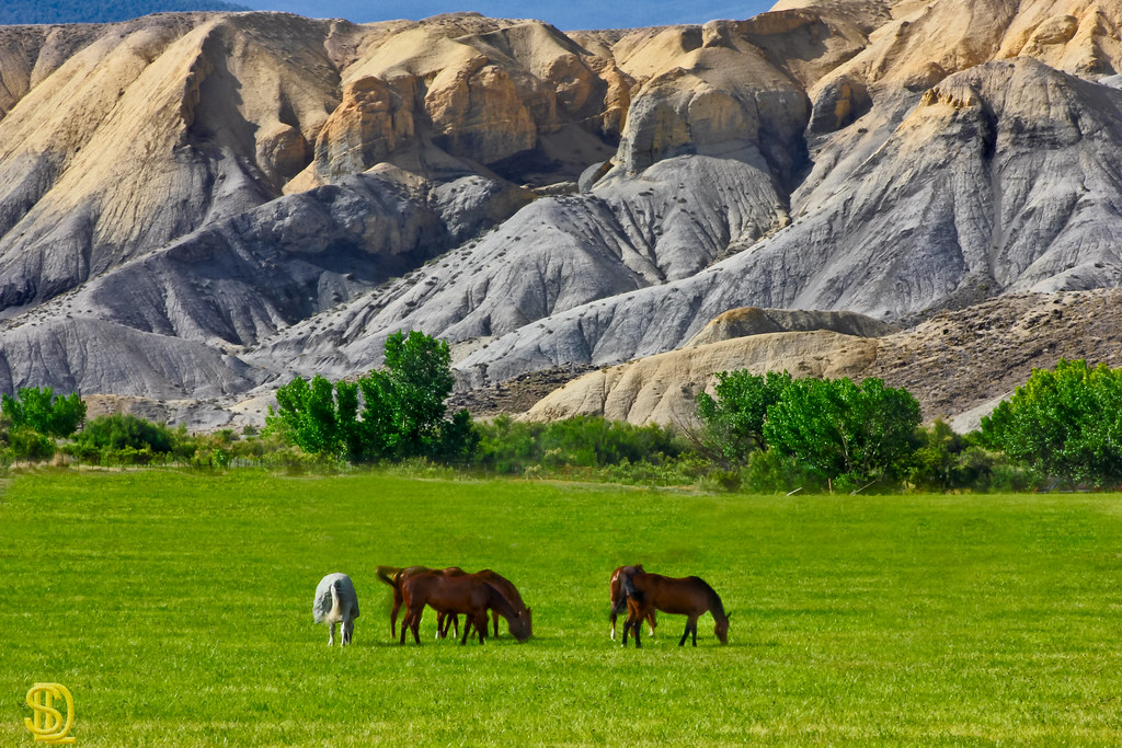
Adobe Horses
Gunnison Gorge 2
_C1A1418-Pano.jpg
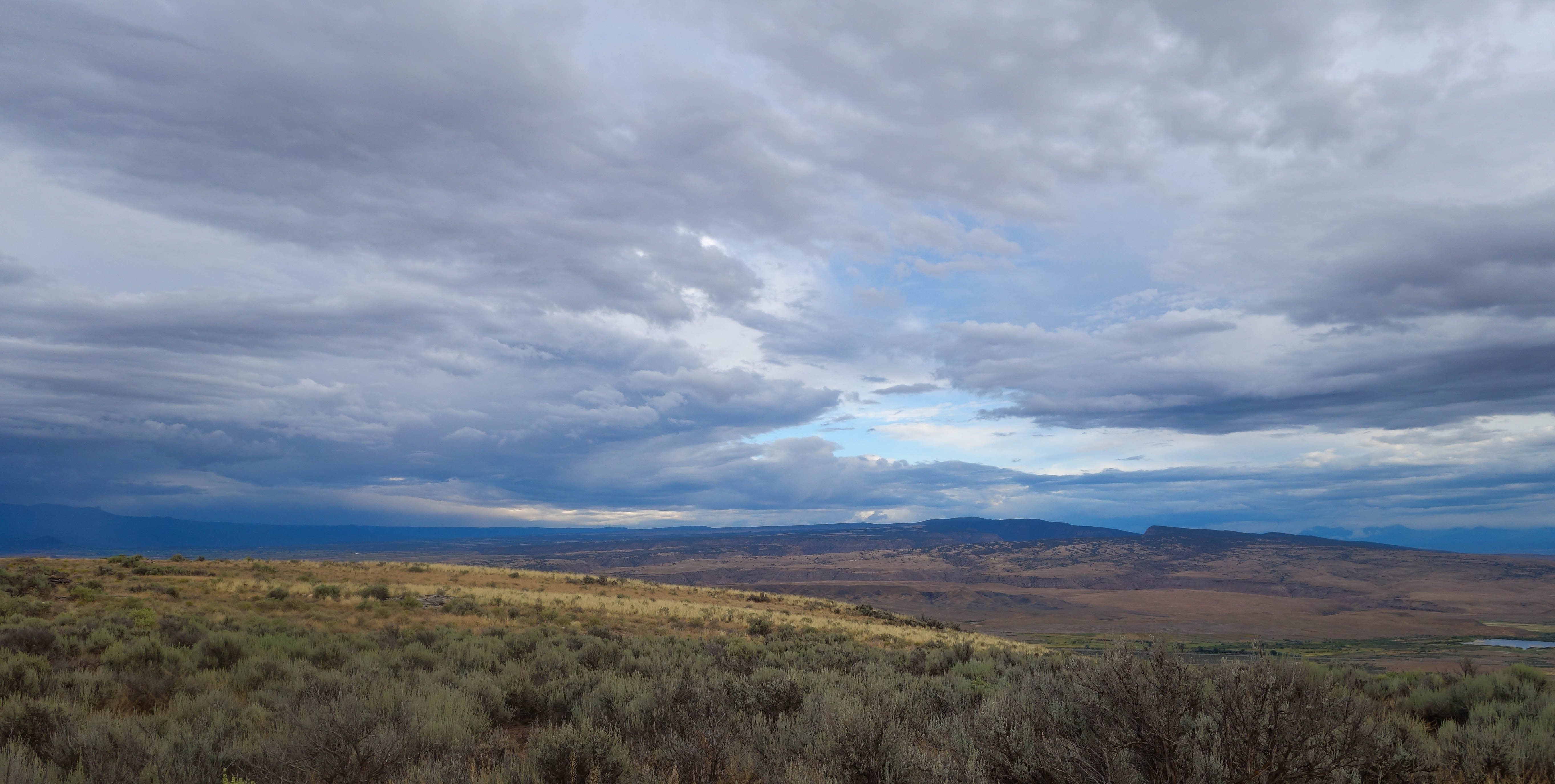
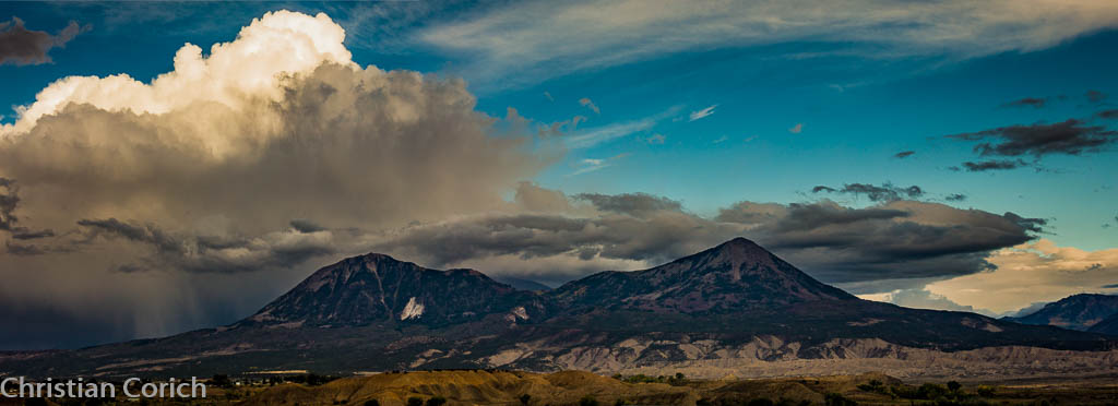
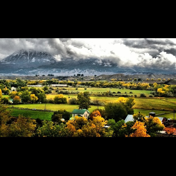
Mesas in the storm
Surface Creek Sideroad
Colorado farmland
Fired up sunset over the Delta County dobies
North Fork Coal II

Gunnison Gorge Highway
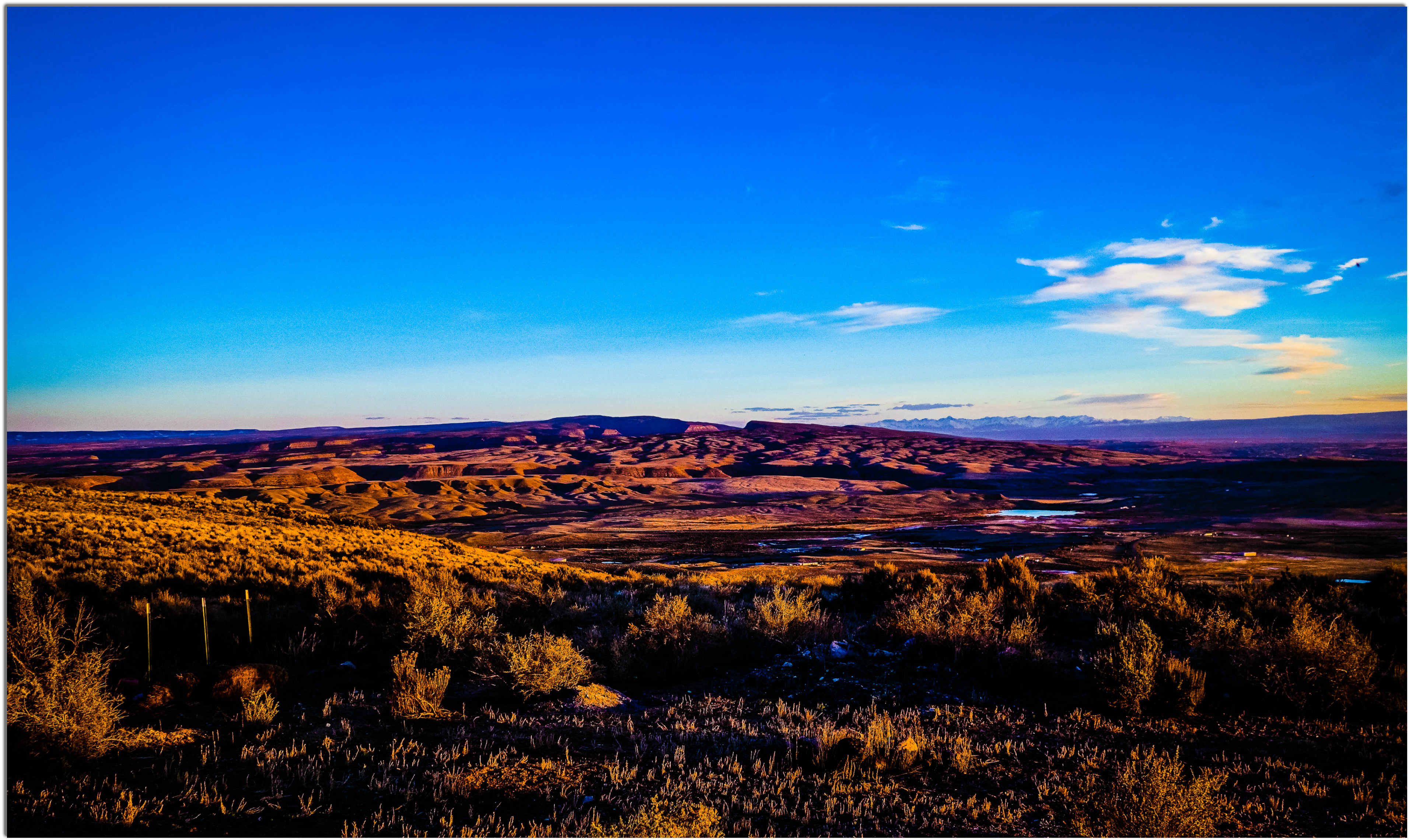
Sunset after Storm Clearing

Fluffy happy clouds
6tag_151013-115735

6tag_151013-115735
WP_20131015_11_40_57_Pro.jpg

Winter 2009-2
Topographic Map of P25, Hotchkiss, CO, USA
Find elevation by address:

Places near P25, Hotchkiss, CO, USA:
27997 P25
P 50 Road
P 50 Road
14418 2800 Rd
28444 Redlands Mesa Rd
17554 Current Creek Rd
14769 Rimrock Rd
Rapid Creek Road
2750 Lane
27154 Cedar Mesa Rd
30476 Redlands Mesa Rd
26986 Cactus Park Rd
26647 Redlands Mesa Rd
26516 Redlands Mesa Rd
18880 3100 Rd
15823 Peach Rd
Delta County
17679 2550 Rd
13599 2600 Rd
24821 Cactus Park Rd
Recent Searches:
- Elevation of Corso Fratelli Cairoli, 35, Macerata MC, Italy
- Elevation of Tallevast Rd, Sarasota, FL, USA
- Elevation of 4th St E, Sonoma, CA, USA
- Elevation of Black Hollow Rd, Pennsdale, PA, USA
- Elevation of Oakland Ave, Williamsport, PA, USA
- Elevation of Pedrógão Grande, Portugal
- Elevation of Klee Dr, Martinsburg, WV, USA
- Elevation of Via Roma, Pieranica CR, Italy
- Elevation of Tavkvetili Mountain, Georgia
- Elevation of Hartfords Bluff Cir, Mt Pleasant, SC, USA