Elevation of Crater Peak, Colorado, USA
Location: United States > Colorado > Delta County > Paonia >
Longitude: -107.66311
Latitude: 39.0397054
Elevation: 3429m / 11250feet
Barometric Pressure: 66KPa
Elevation Map:
Satellite Map:
Related Photos:
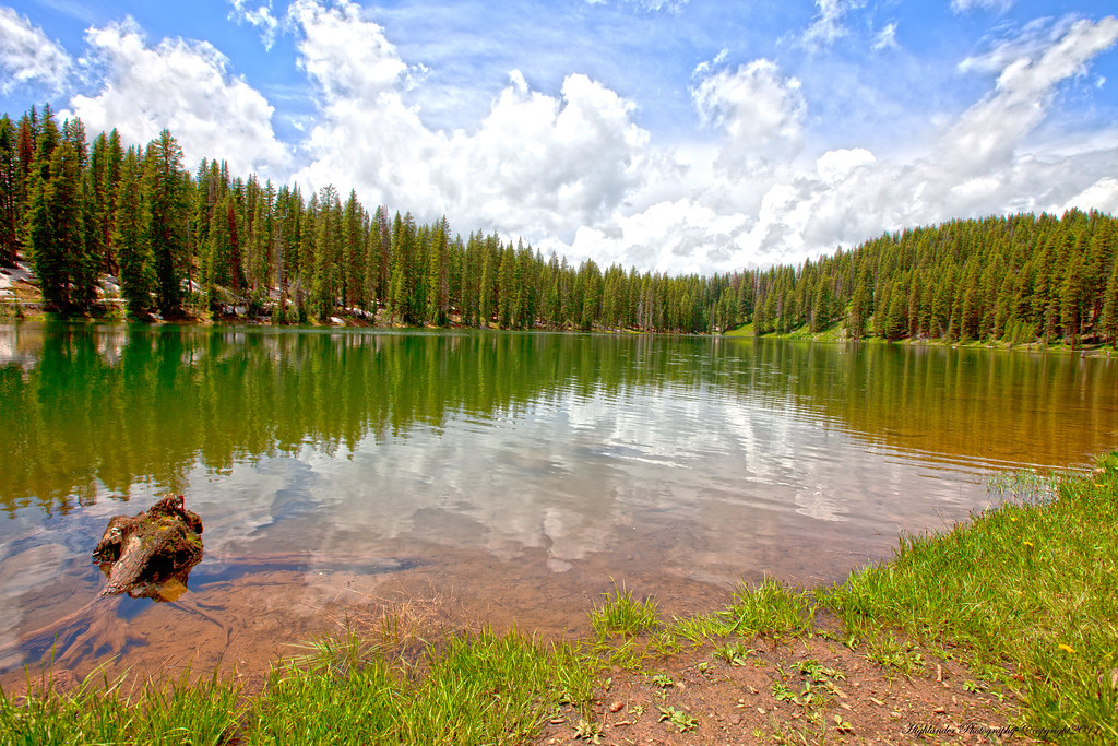
Lake with a View
Topographic Map of Crater Peak, Colorado, USA
Find elevation by address:

Places near Crater Peak, Colorado, USA:
Mount Hatten
Priest Mountain
Doughty Mountain
Willow Ridge
Electric Mountain
Dyke Creek Campground
Oak Mesa
Plateau Ridge
38681 Stucker Mesa Rd
Grand Mesa National Forest
Porter Mountain
Elk Lake
18880 3100 Rd
16228 Grange Rd
Bowie Rd, Paonia, CO, USA
Baldridge Point
Paonia
13793 3750 Rd
1st Street
1200 3rd St
Recent Searches:
- Elevation of Corso Fratelli Cairoli, 35, Macerata MC, Italy
- Elevation of Tallevast Rd, Sarasota, FL, USA
- Elevation of 4th St E, Sonoma, CA, USA
- Elevation of Black Hollow Rd, Pennsdale, PA, USA
- Elevation of Oakland Ave, Williamsport, PA, USA
- Elevation of Pedrógão Grande, Portugal
- Elevation of Klee Dr, Martinsburg, WV, USA
- Elevation of Via Roma, Pieranica CR, Italy
- Elevation of Tavkvetili Mountain, Georgia
- Elevation of Hartfords Bluff Cir, Mt Pleasant, SC, USA