Elevation of Dyke Creek Campground, Somerset, CO, United States
Location: United States > Colorado > Delta County > Paonia >
Longitude: -107.55950
Latitude: 39.1255393
Elevation: 2621m / 8599feet
Barometric Pressure: 74KPa
Elevation Map:
Satellite Map:
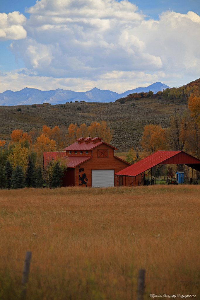
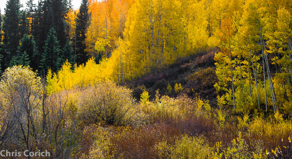
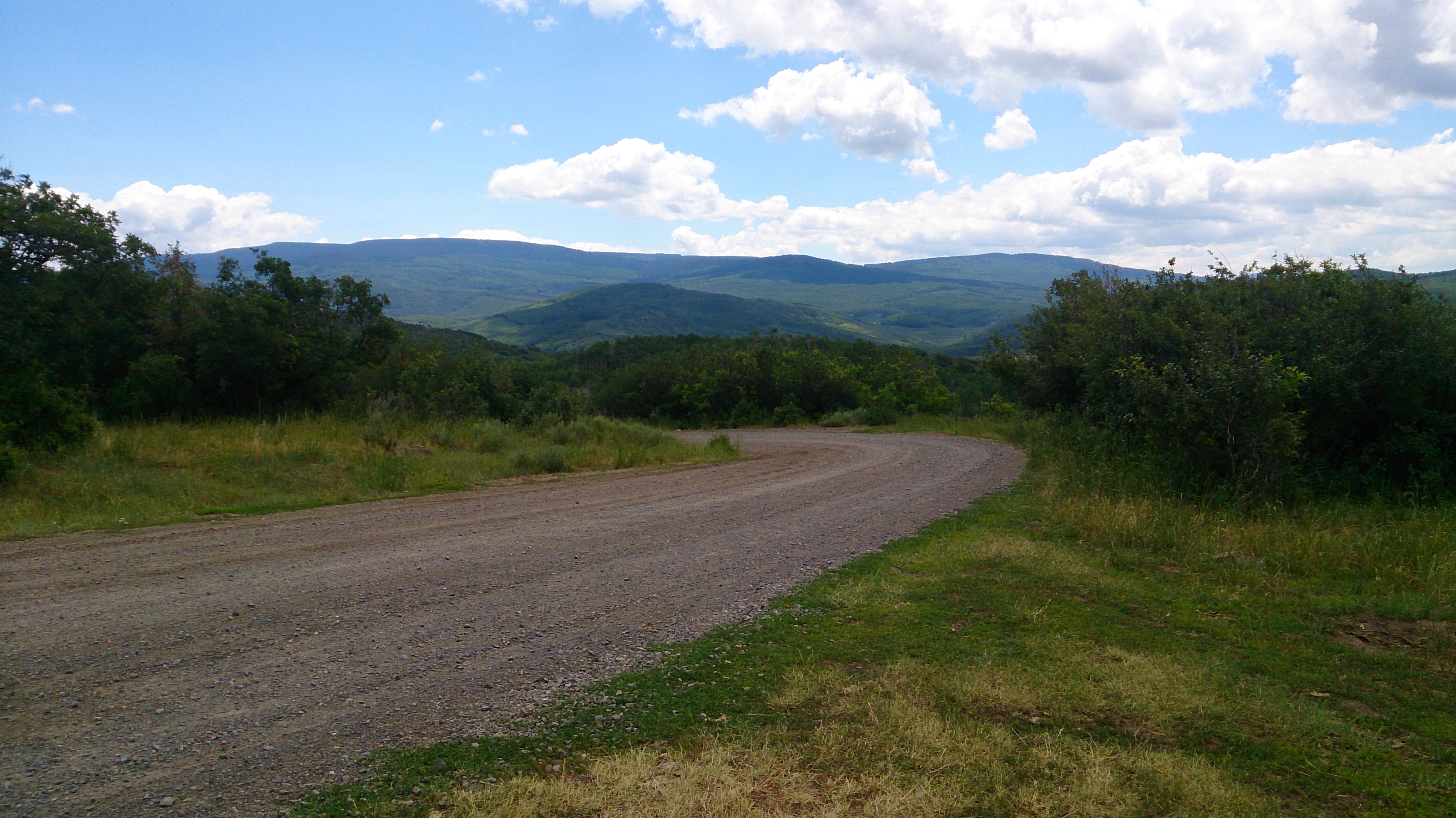
Related Photos:
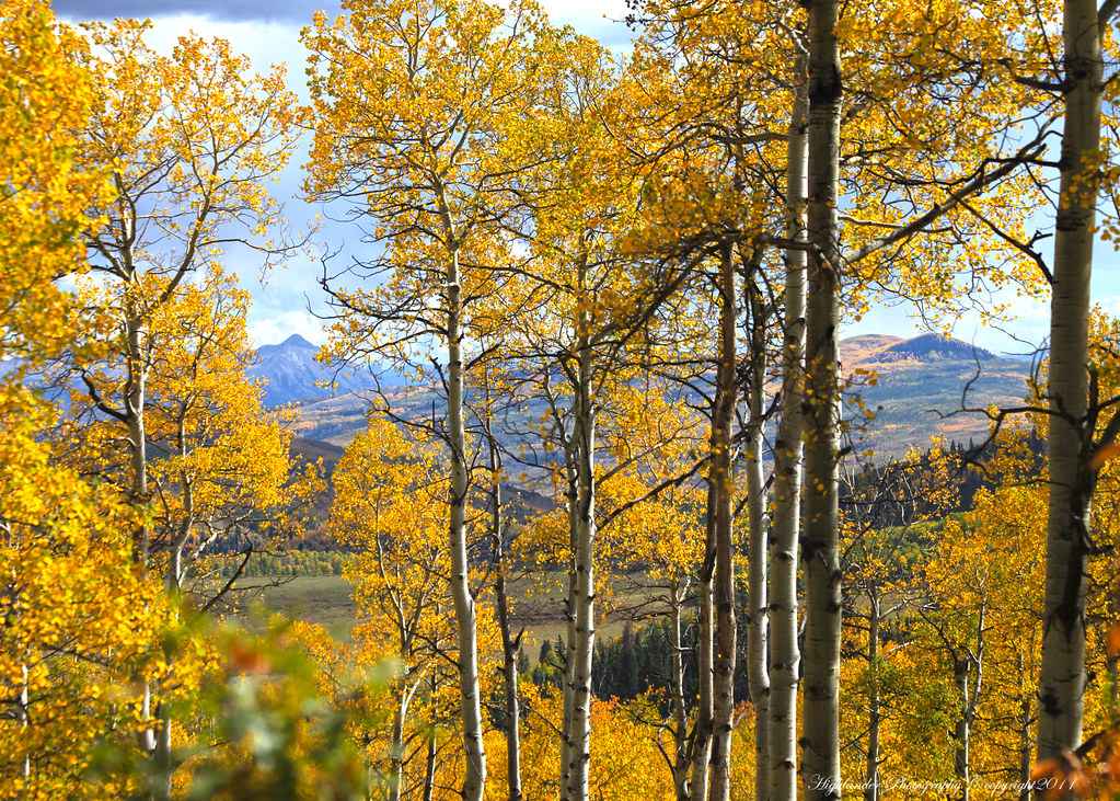
The View Beyond the Trees

Fall and Winter, All in One
_MG_5904.jpg
_MG_5907.jpg
_MG_6818.jpg
_MG_5887.jpg
_MG_5922.jpg

Camera Roll-452

Top of the Ridge
_MG_6799.jpg

Land of Christmas Trees
_MG_6821.jpg

1407xx travel to MOA rally 31
Local Sheep Herder spread
_MG_5853.jpg

Willow Flycatcher
1407xx travel to MOA rally 30
Topographic Map of Dyke Creek Campground, Somerset, CO, United States
Find elevation by address:

Places near Dyke Creek Campground, Somerset, CO, United States:
Electric Mountain
Porter Mountain
Willow Ridge
Reno Mountain
Elk Lake
Van Mountain
Crater Peak
Mount Hatten
Plateau Ridge
Hightower Mountain
Buck Mesa
Baldridge Point
Priest Mountain
Bowie Rd, Paonia, CO, USA
Huntsman Ridge
Doughty Mountain
Huntsman Ridge North
Flagpole Mountain
Somerset
70940 Hwy 330 E
Recent Searches:
- Elevation of Corso Fratelli Cairoli, 35, Macerata MC, Italy
- Elevation of Tallevast Rd, Sarasota, FL, USA
- Elevation of 4th St E, Sonoma, CA, USA
- Elevation of Black Hollow Rd, Pennsdale, PA, USA
- Elevation of Oakland Ave, Williamsport, PA, USA
- Elevation of Pedrógão Grande, Portugal
- Elevation of Klee Dr, Martinsburg, WV, USA
- Elevation of Via Roma, Pieranica CR, Italy
- Elevation of Tavkvetili Mountain, Georgia
- Elevation of Hartfords Bluff Cir, Mt Pleasant, SC, USA