Elevation of Flagpole Mountain, Colorado, USA
Location: United States > Colorado > New Castle >
Longitude: -107.51116
Latitude: 39.3358143
Elevation: 3197m / 10489feet
Barometric Pressure: 68KPa
Elevation Map:
Satellite Map:
Related Photos:
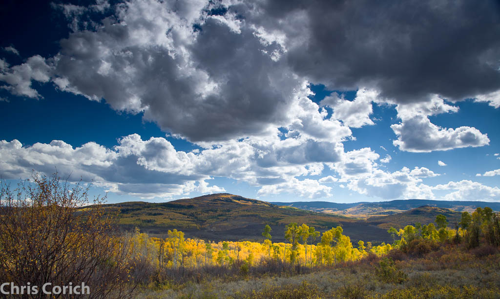
_MG_5786.jpg
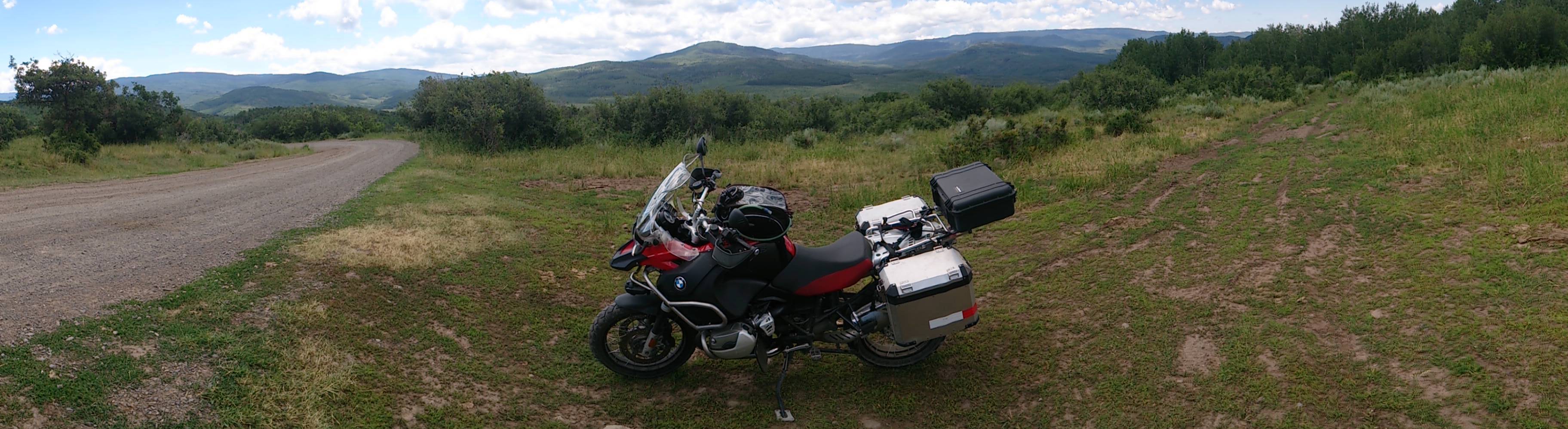
East Divide Crossing
1407xx travel to MOA rally 30

East Ridge
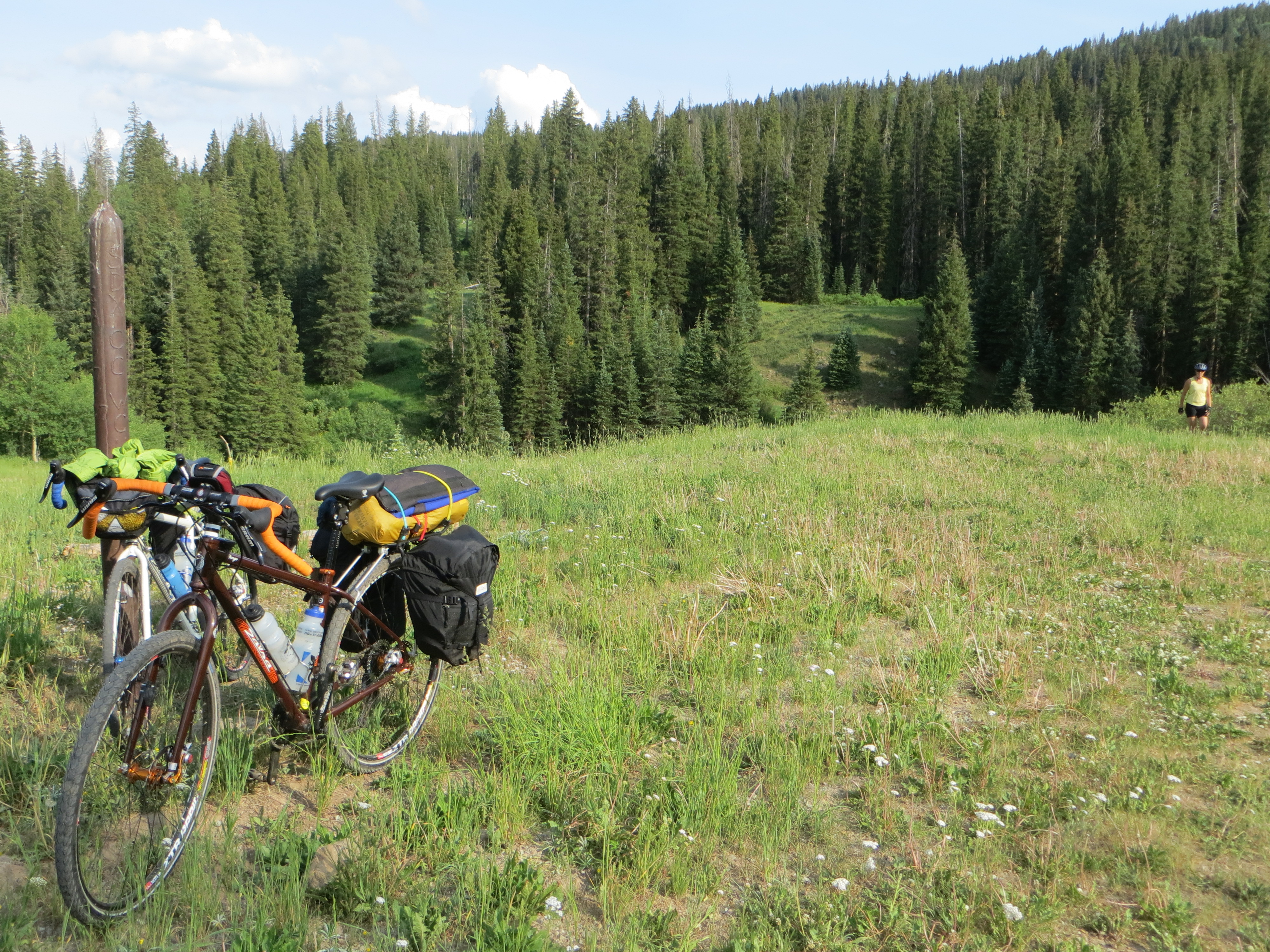
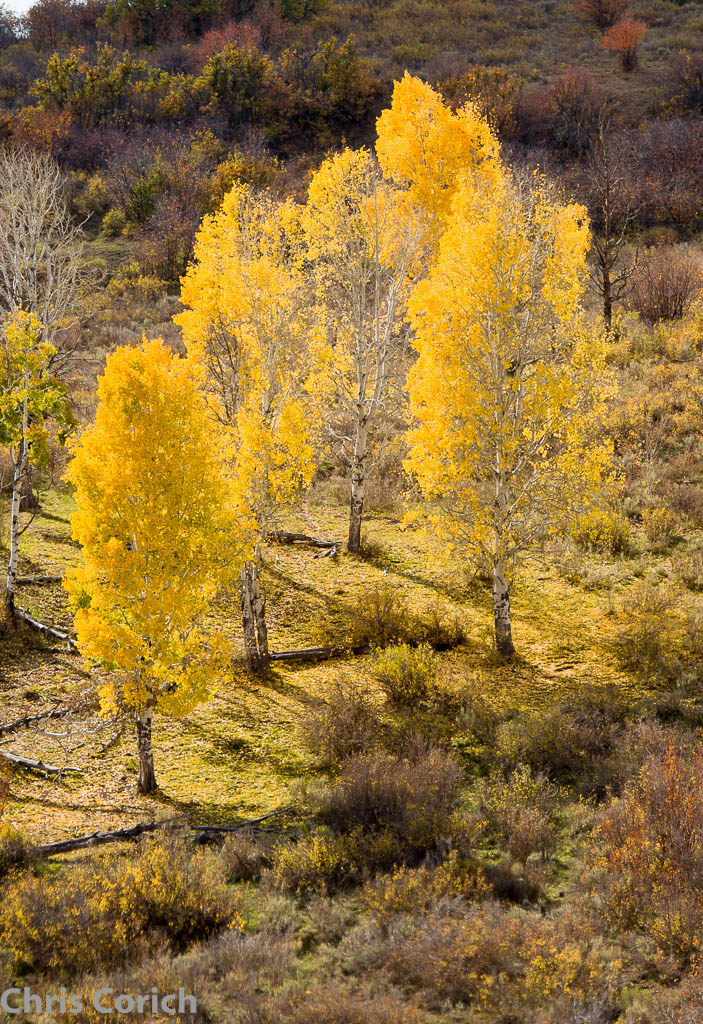
4 Mile
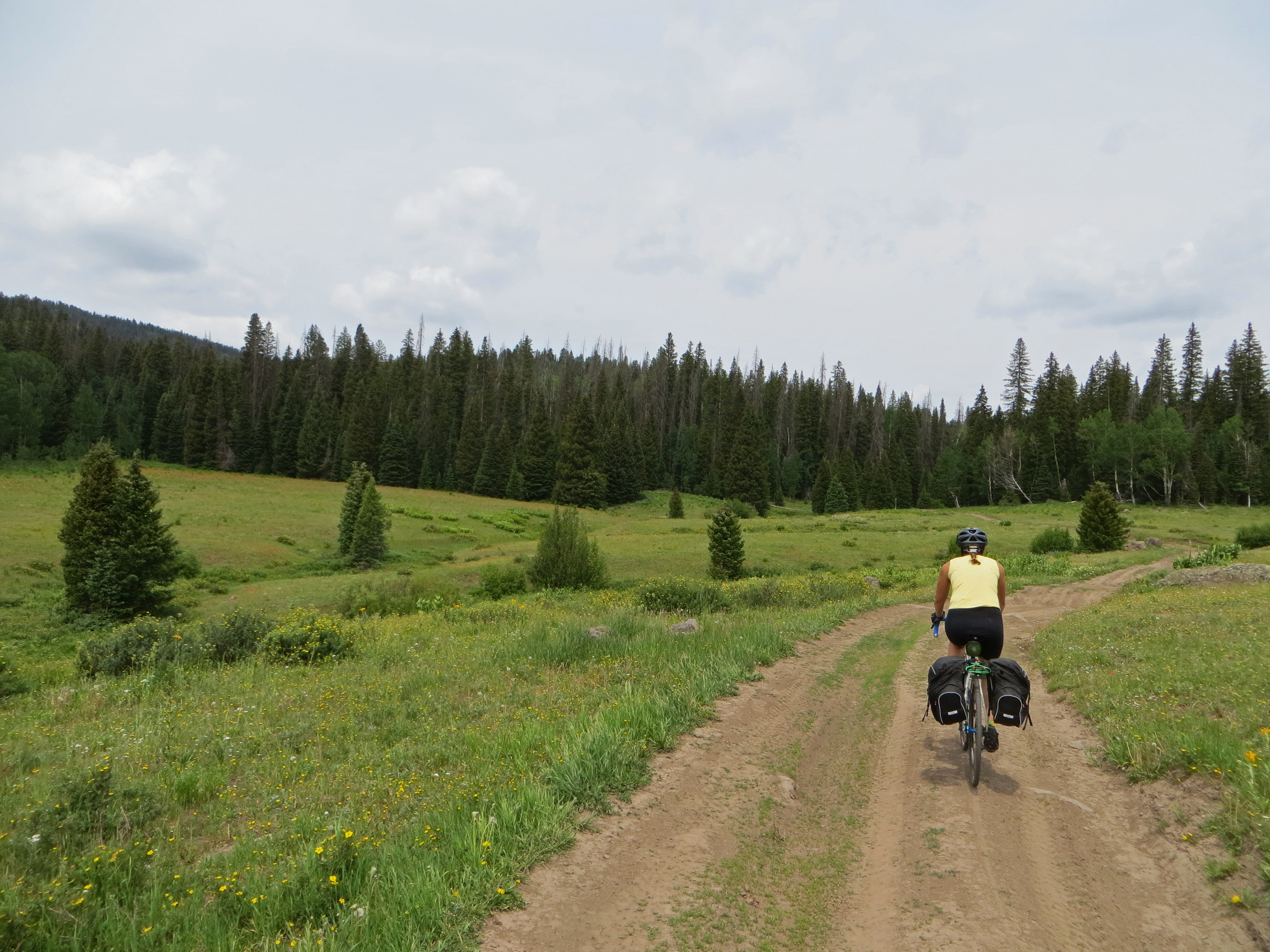
1407xx riding with Ron to Colorado 10
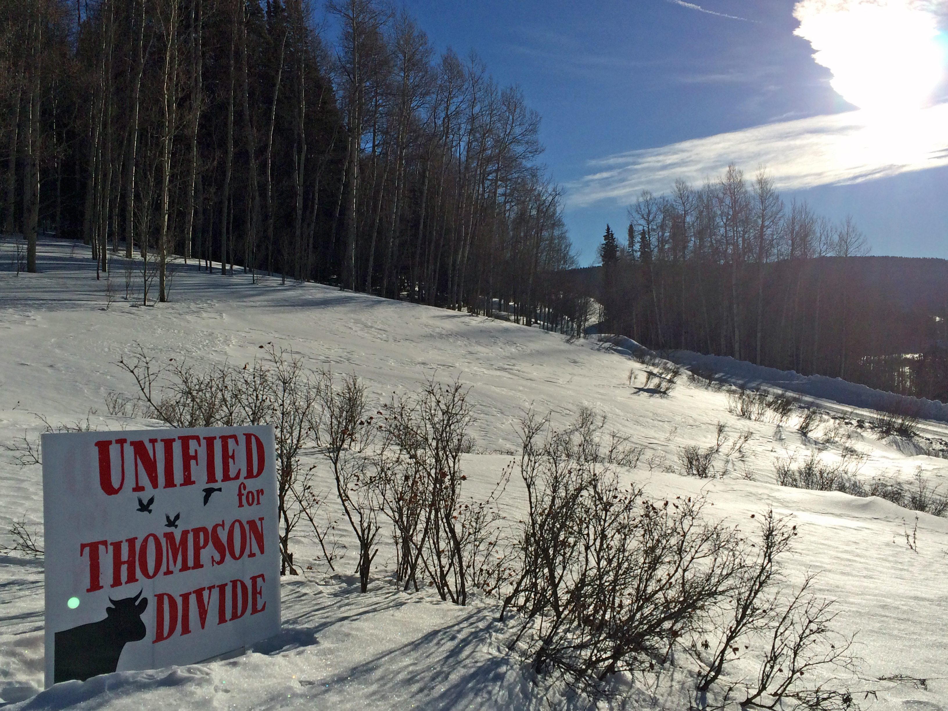
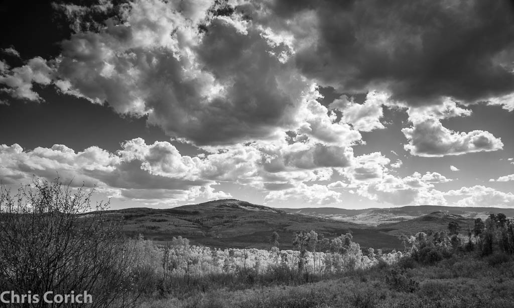
Preserve It!
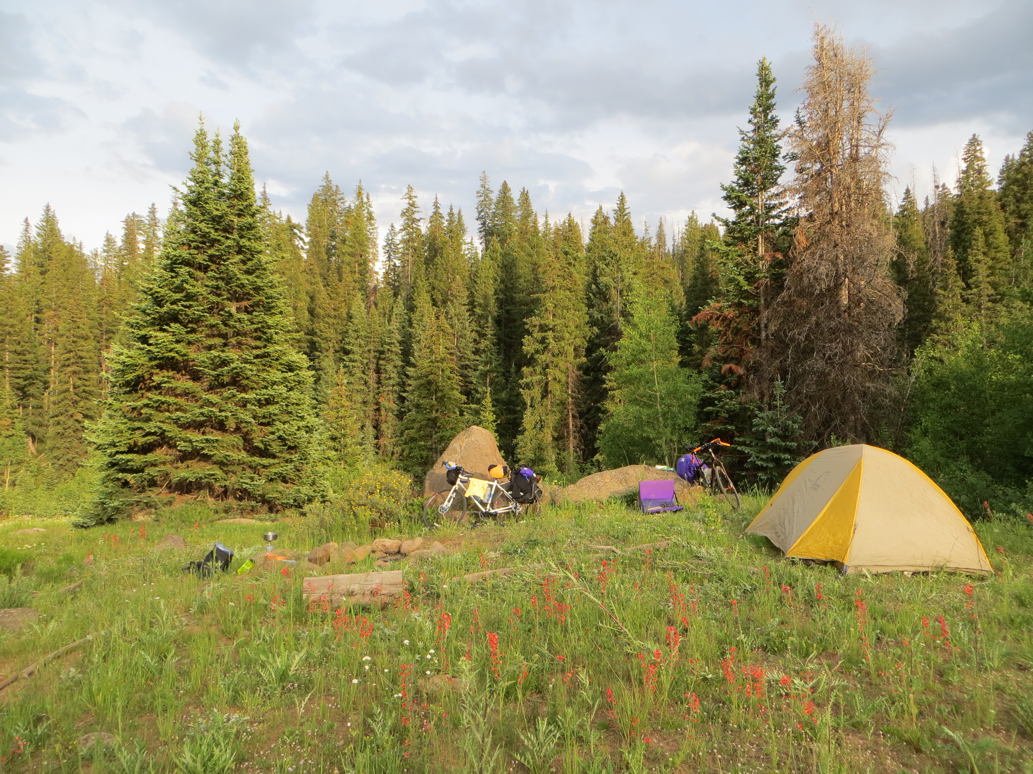
N. Thompson Creek
N. Thompson Creek

_MG_5794.jpg
_MG_5787.jpg
_MG_5786-2.jpg

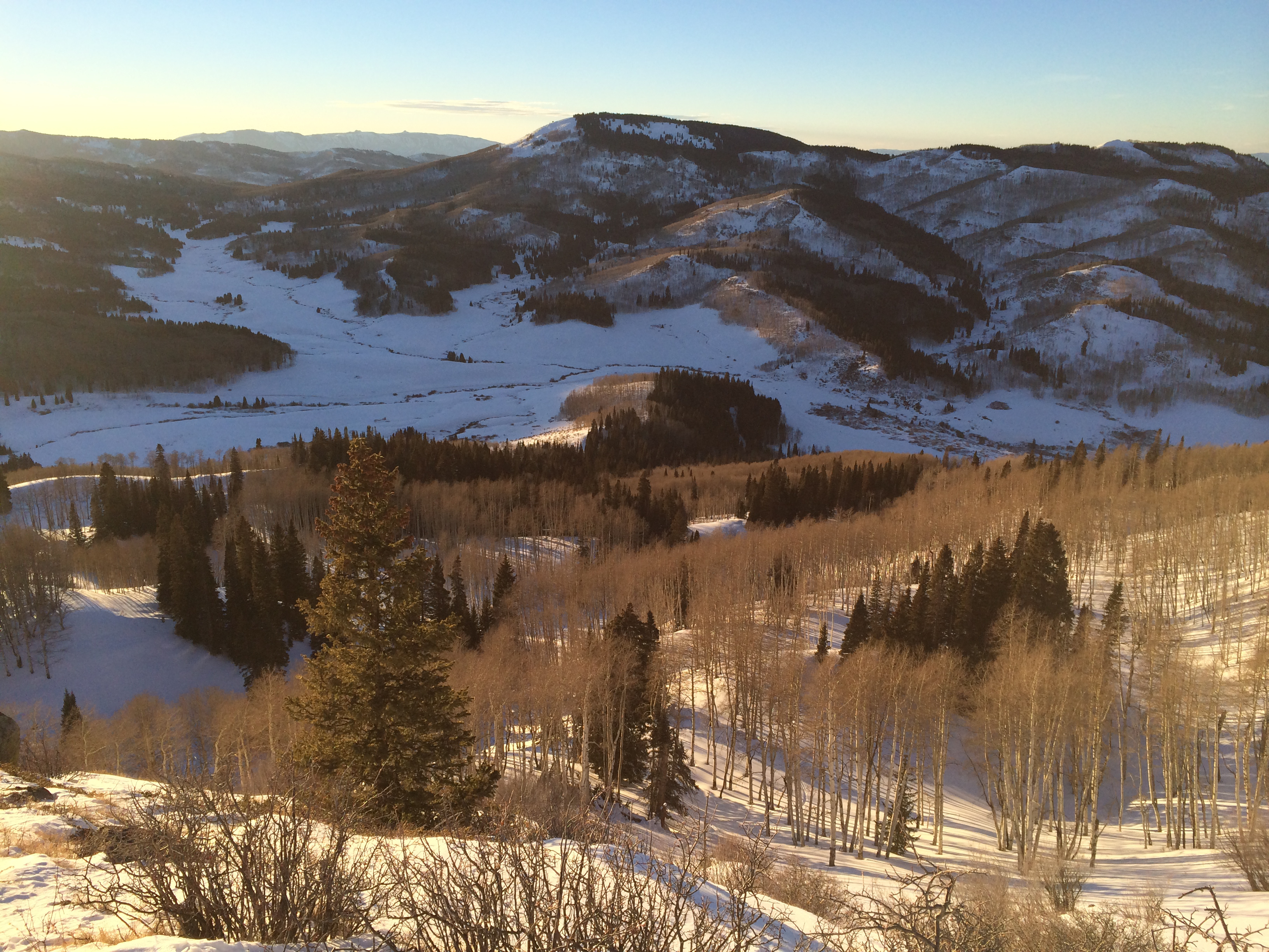
Second ski
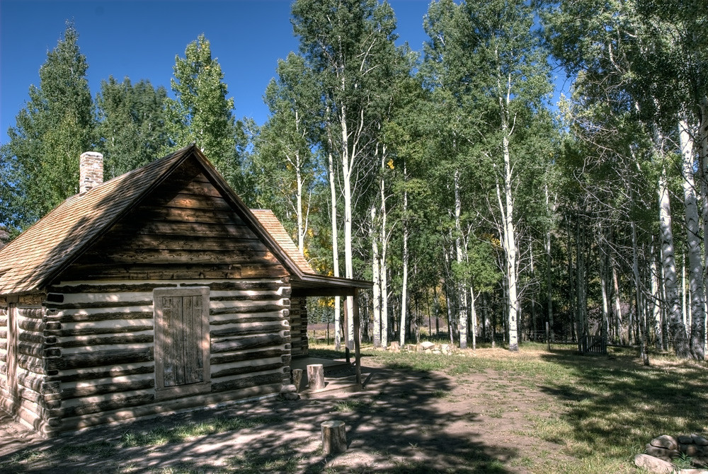
Cayton Ranger Station

Camera Roll-71
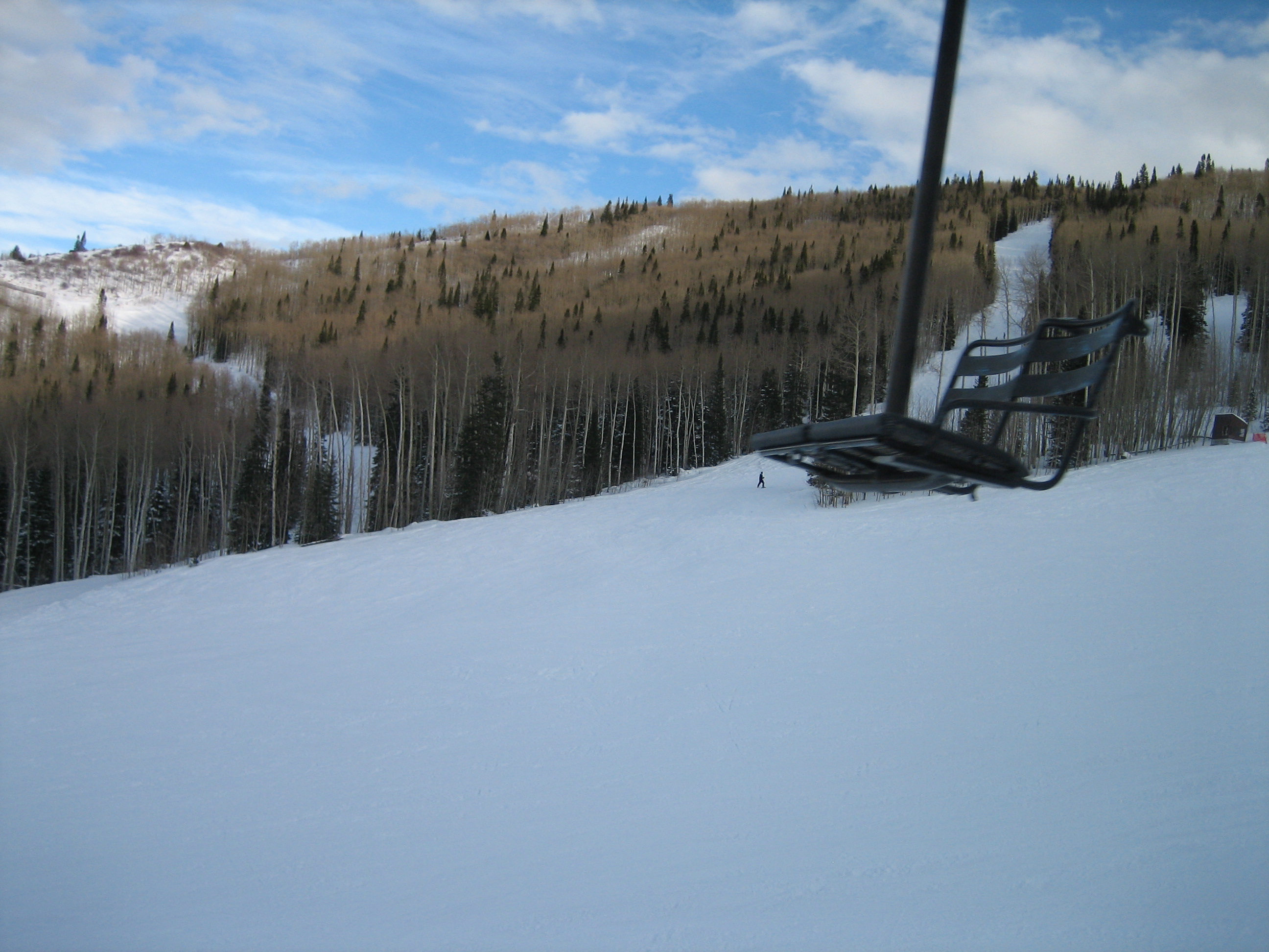
Empty Chairlift
Topographic Map of Flagpole Mountain, Colorado, USA
Find elevation by address:

Places near Flagpole Mountain, Colorado, USA:
Van Mountain
The Slides
Reno Mountain
Hightower Mountain
Huntsman Ridge North
Porter Mountain
Huntsman Ridge
Elk Lake
Dyke Creek Campground
70940 Hwy 330 E
Lake Ridge North
Baldridge Point
Plateau Ridge
Assignation Ridge
Electric Mountain
Willow Ridge
10830 Co-133
Redstone
Redstone Blvd, Redstone, CO, USA
Vega Reservoir
Recent Searches:
- Elevation of Corso Fratelli Cairoli, 35, Macerata MC, Italy
- Elevation of Tallevast Rd, Sarasota, FL, USA
- Elevation of 4th St E, Sonoma, CA, USA
- Elevation of Black Hollow Rd, Pennsdale, PA, USA
- Elevation of Oakland Ave, Williamsport, PA, USA
- Elevation of Pedrógão Grande, Portugal
- Elevation of Klee Dr, Martinsburg, WV, USA
- Elevation of Via Roma, Pieranica CR, Italy
- Elevation of Tavkvetili Mountain, Georgia
- Elevation of Hartfords Bluff Cir, Mt Pleasant, SC, USA