Elevation of The Slides, Colorado, USA
Location: United States > Colorado > New Castle >
Longitude: -107.42861
Latitude: 39.3602777
Elevation: 3052m / 10013feet
Barometric Pressure: 70KPa
Elevation Map:
Satellite Map:
Related Photos:

East Ridge
4 Mile
East Divide Crossing
Mt. Sopris from the trail to Lake Ridge Lakes, Uncompahgre National Forest near Carbondale, Colorado
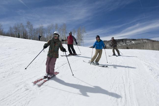
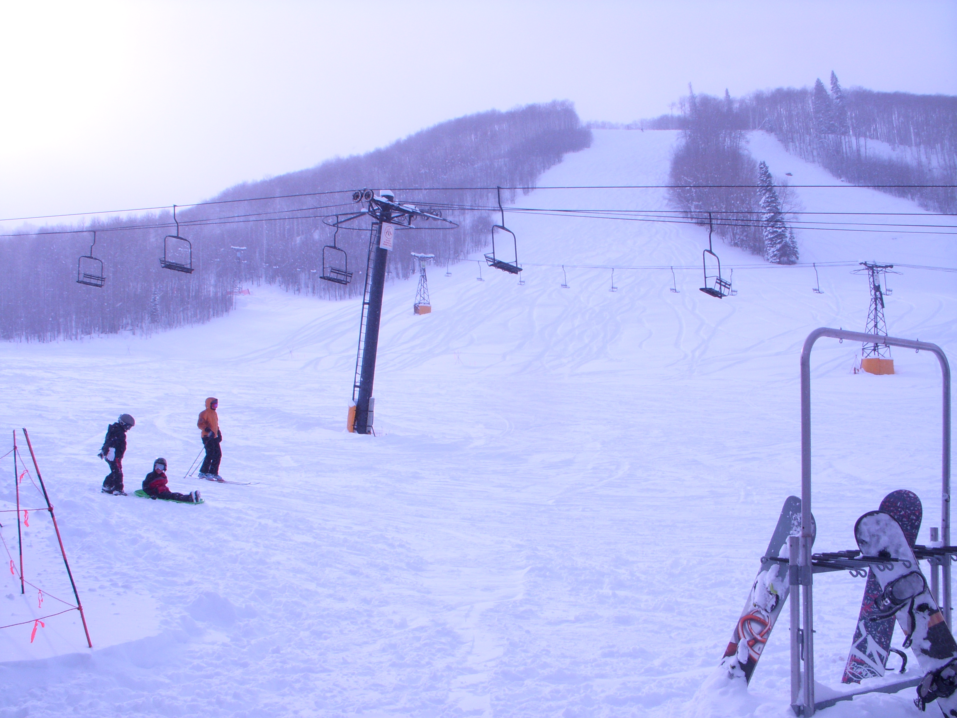
Sunlight Mountain Resort 2009 Ski Season

Sunlight Mountain Resort 2009 Ski Season
December 2009 Blizzard
Thou Shall Not Pass

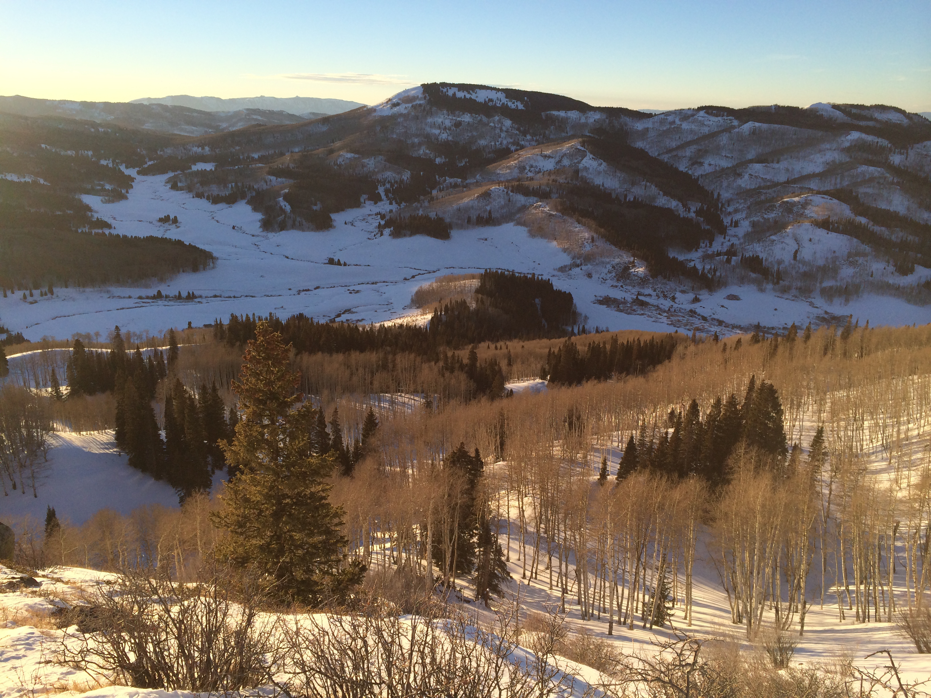
Dry Park Road
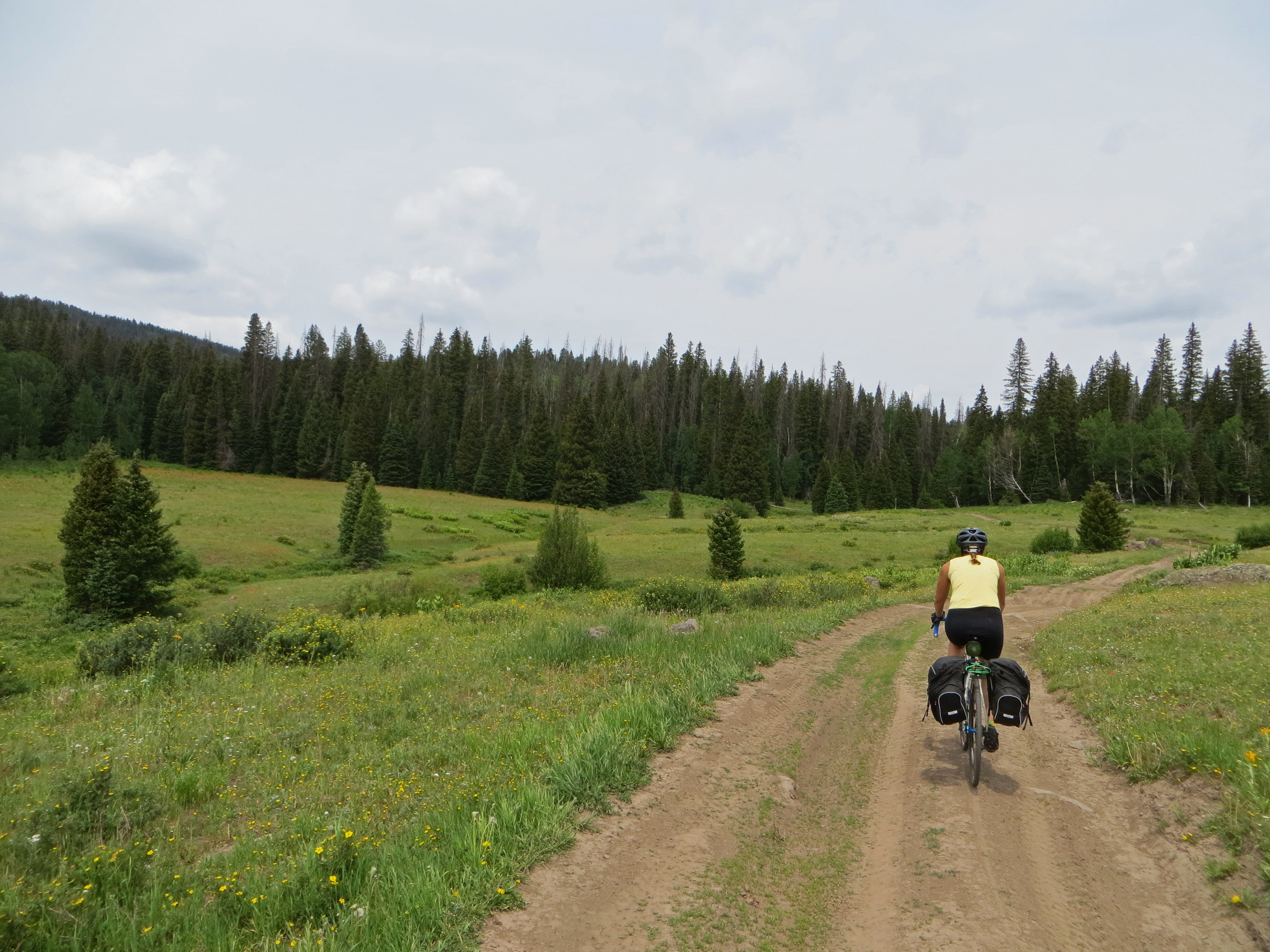
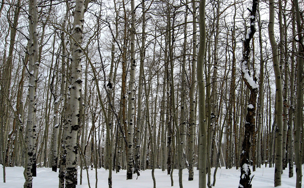
Lake Ridge Lakes by S. Johnson 6/20/15
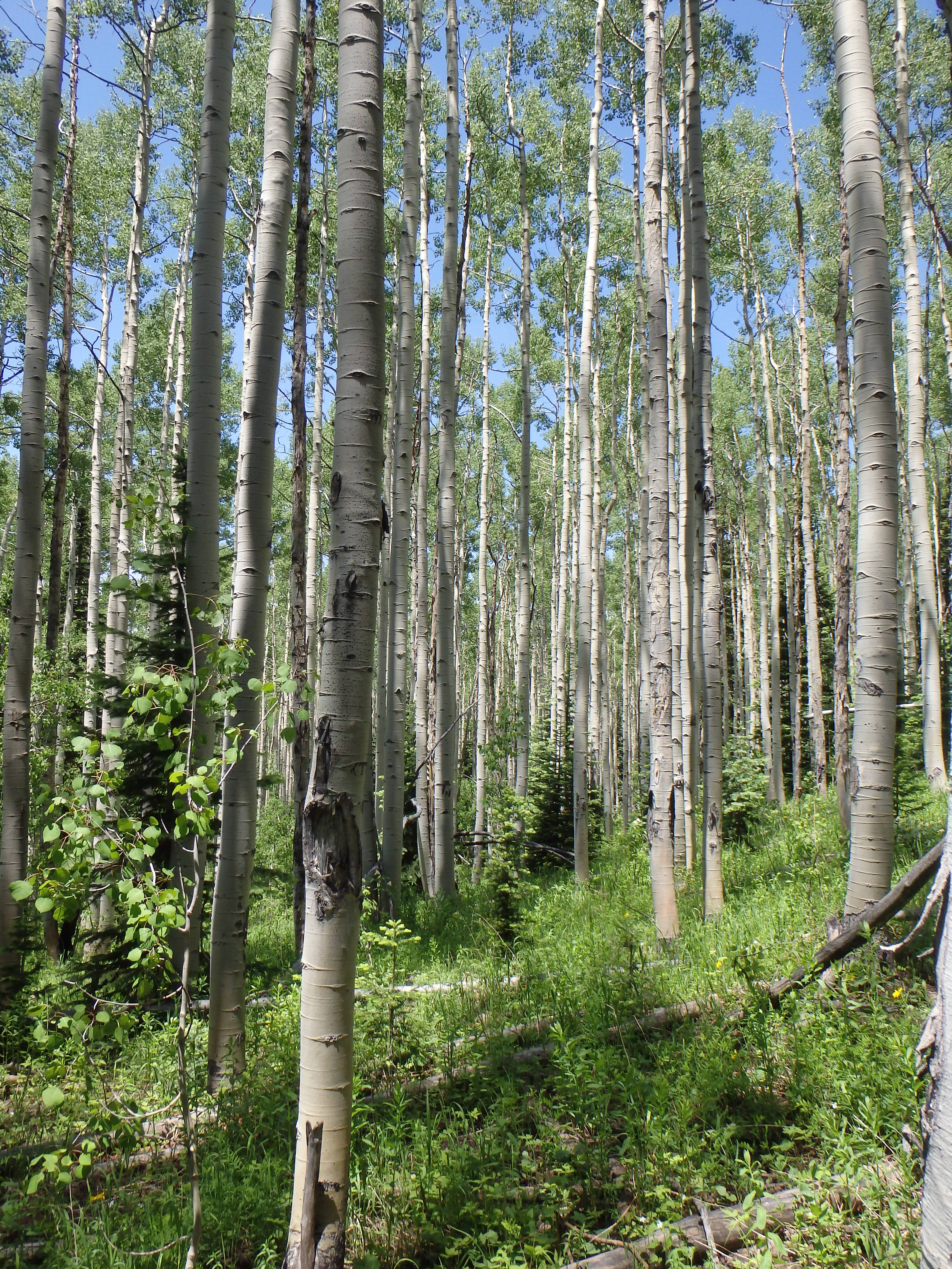
Lake Ridge Lakes by S. Johnson 6/20/15
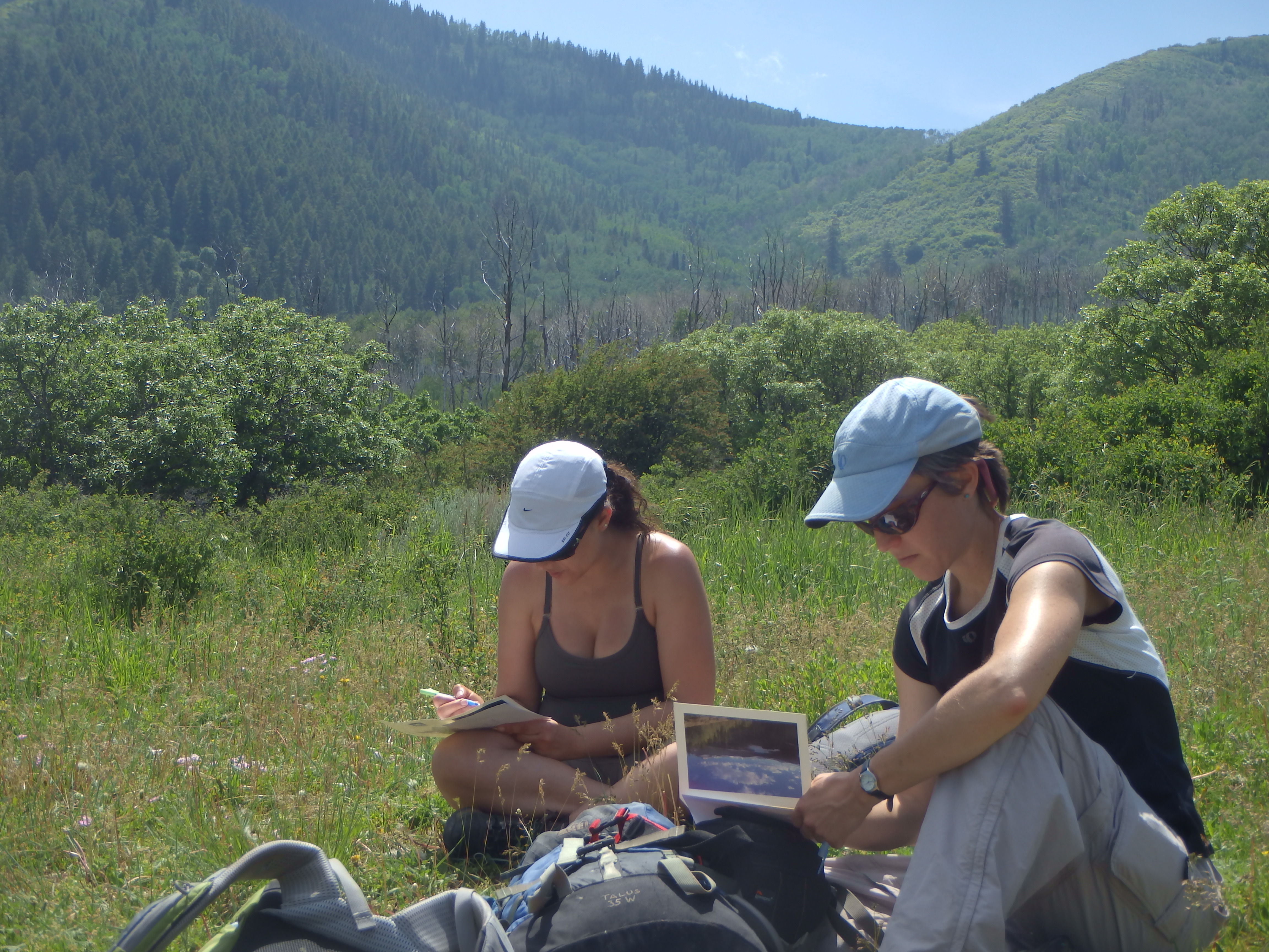
Lake Ridge Lakes by S. Johnson 6/20/15
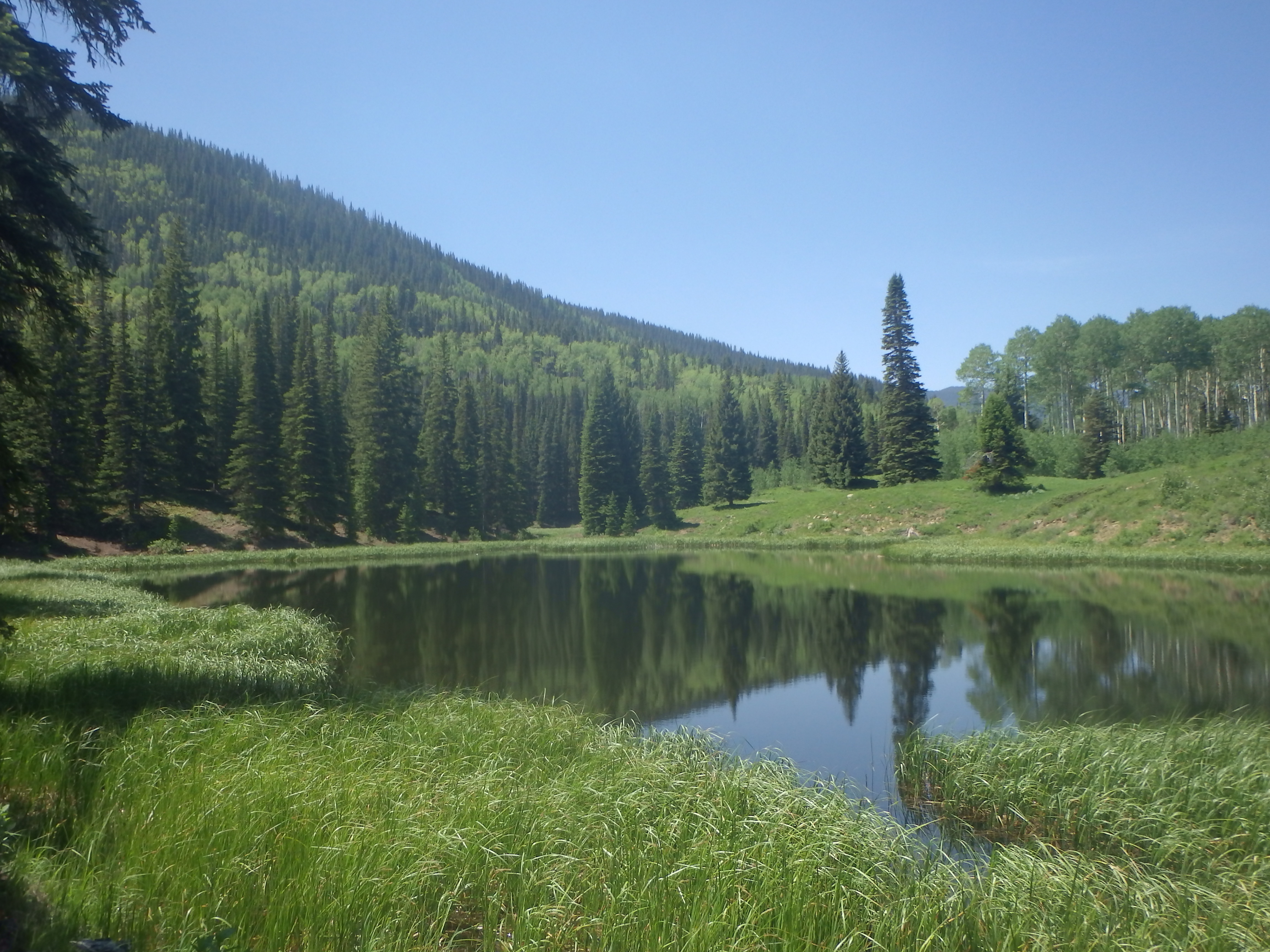
Lake Ridge Lakes by S. Johnson 6/20/15
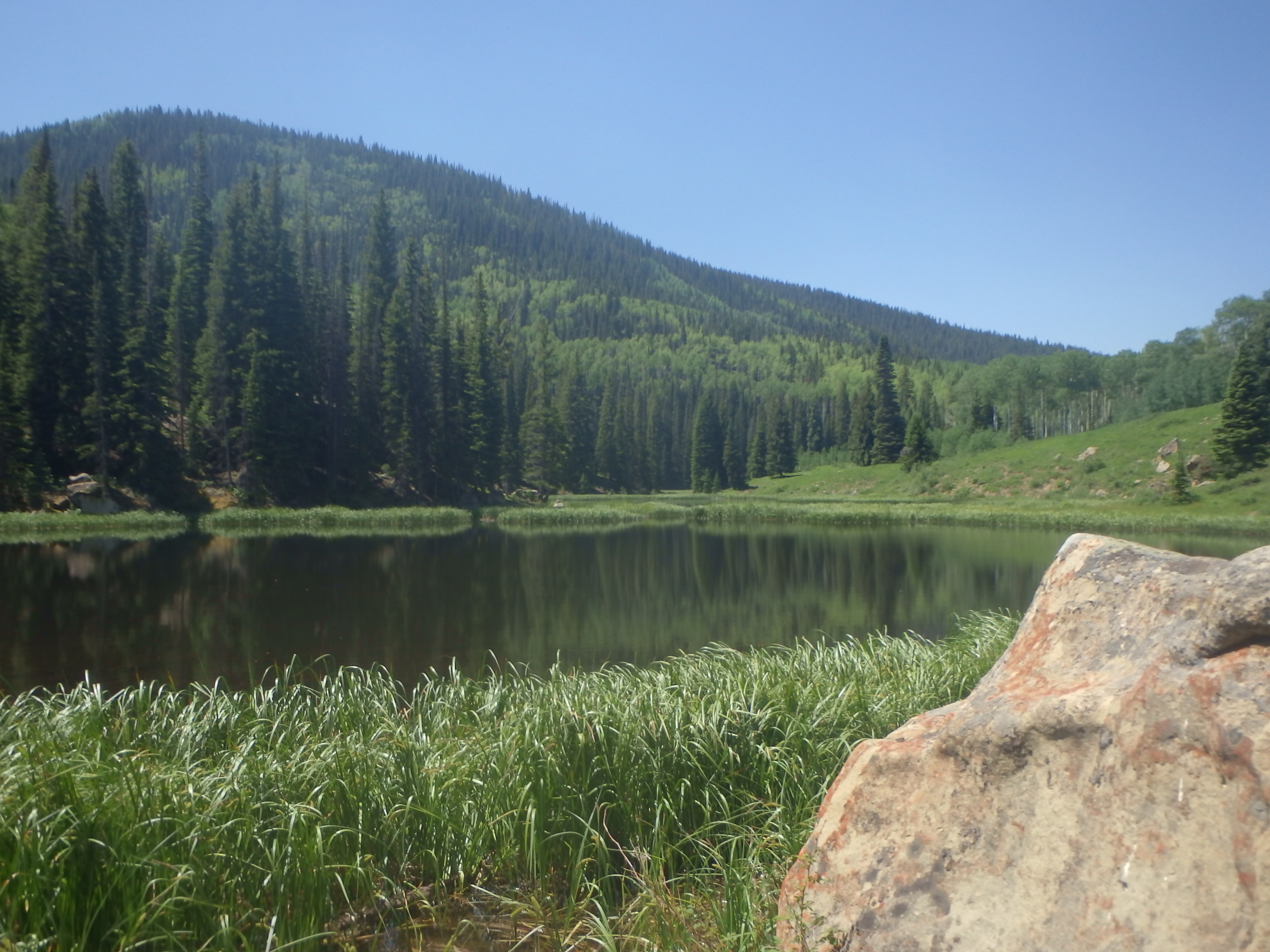
Lake Ridge Lakes by S. Johnson 6/20/15
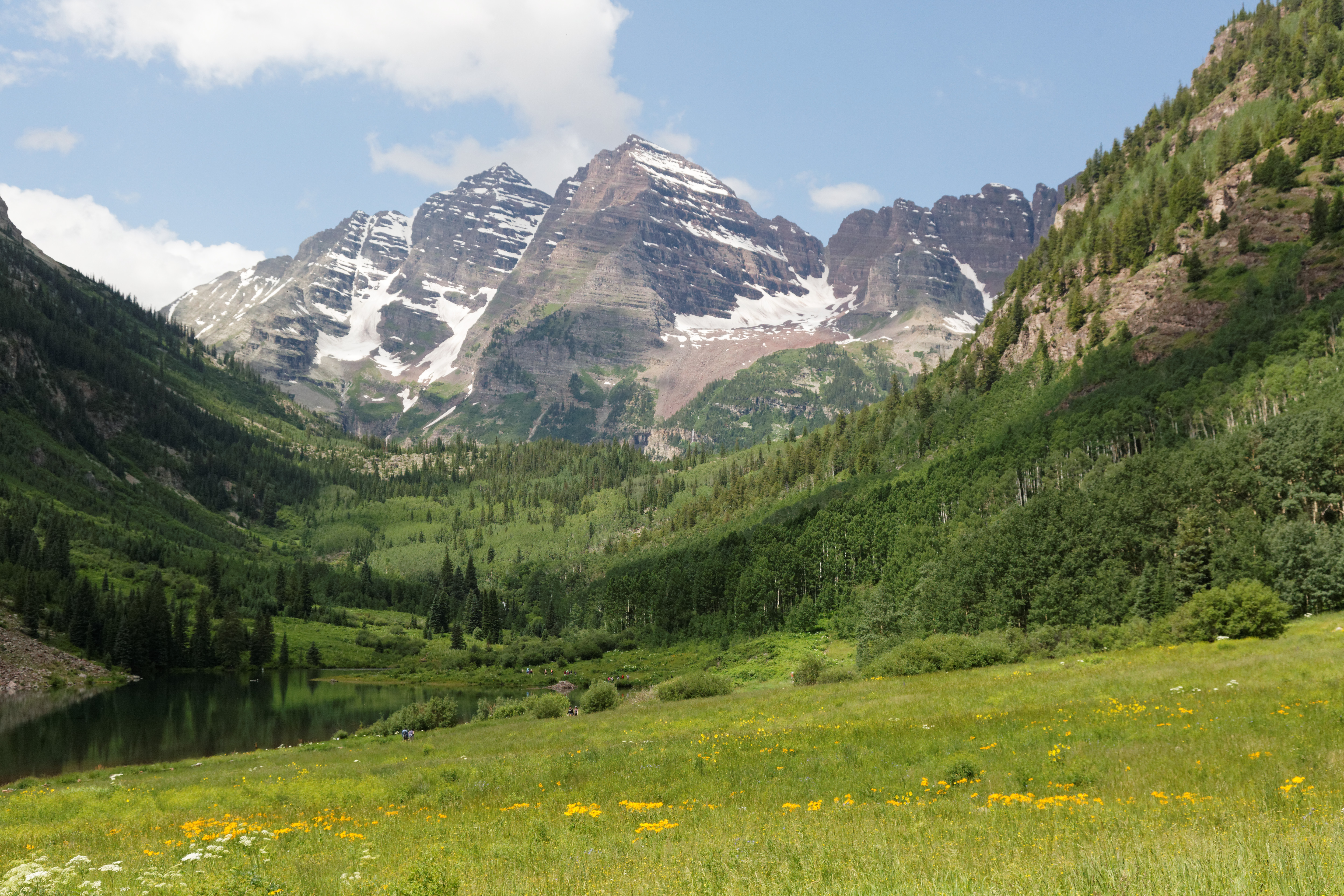
Maroon Bells 7/4
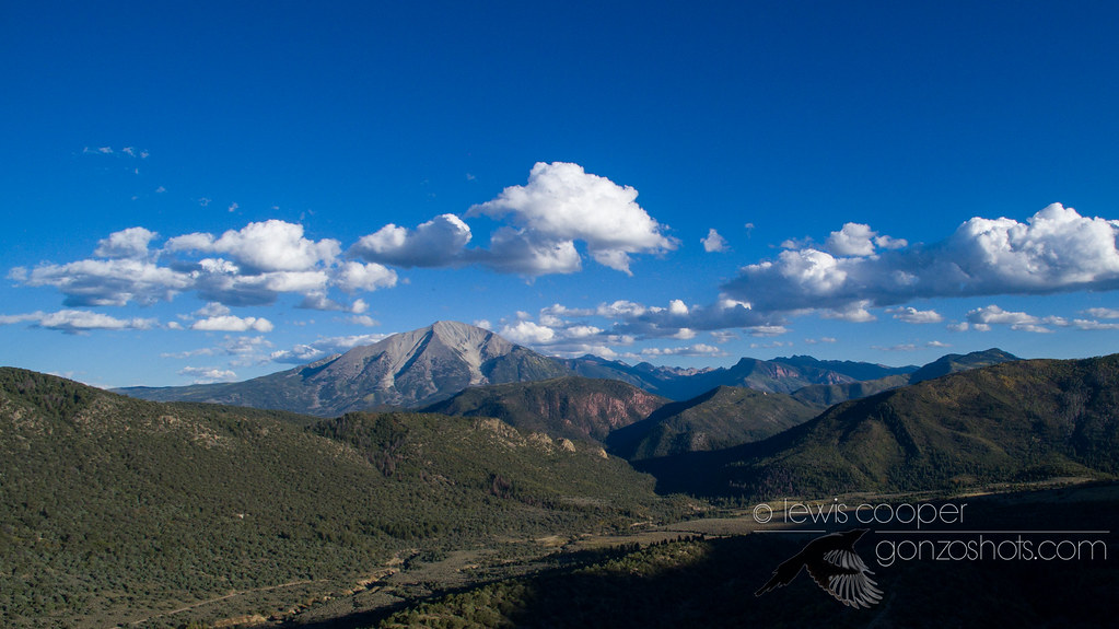
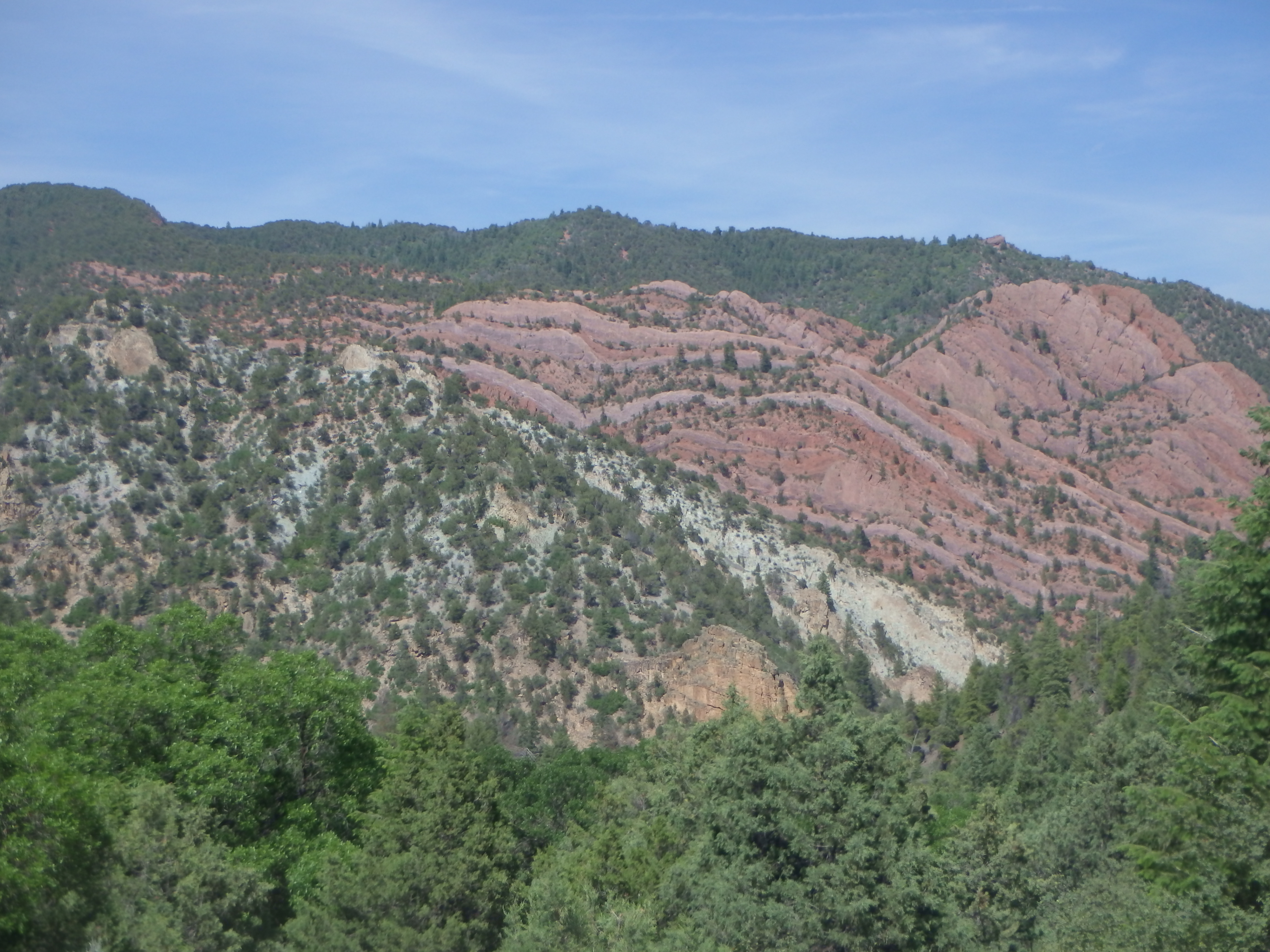
Mount Sopris

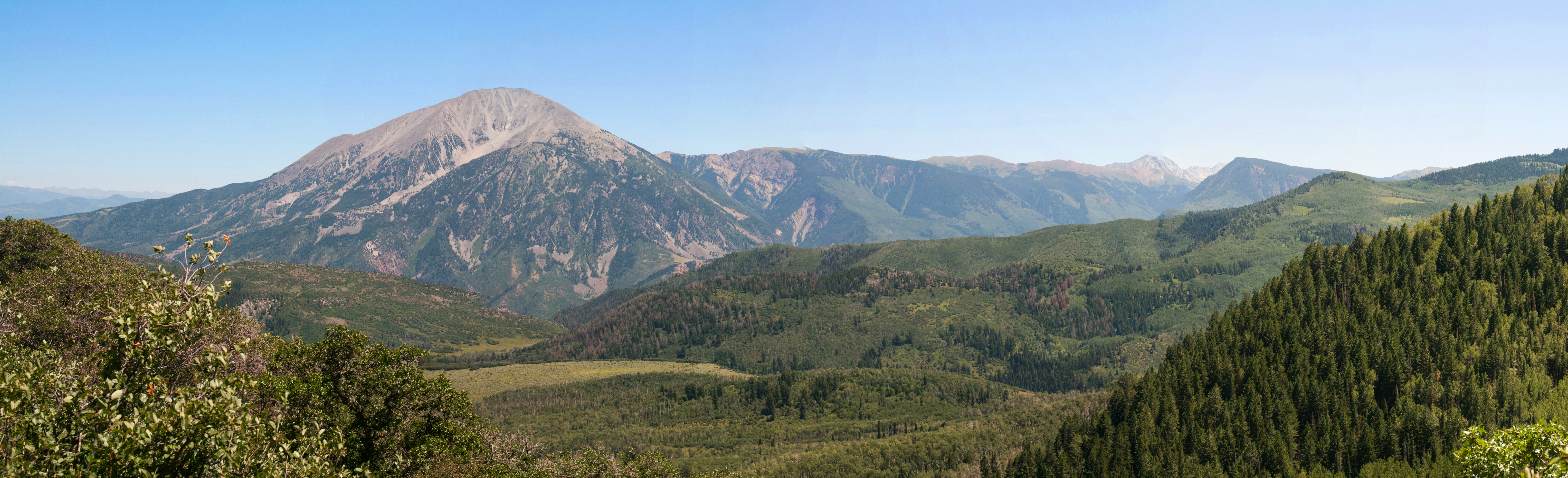
Mount Sopris Pano
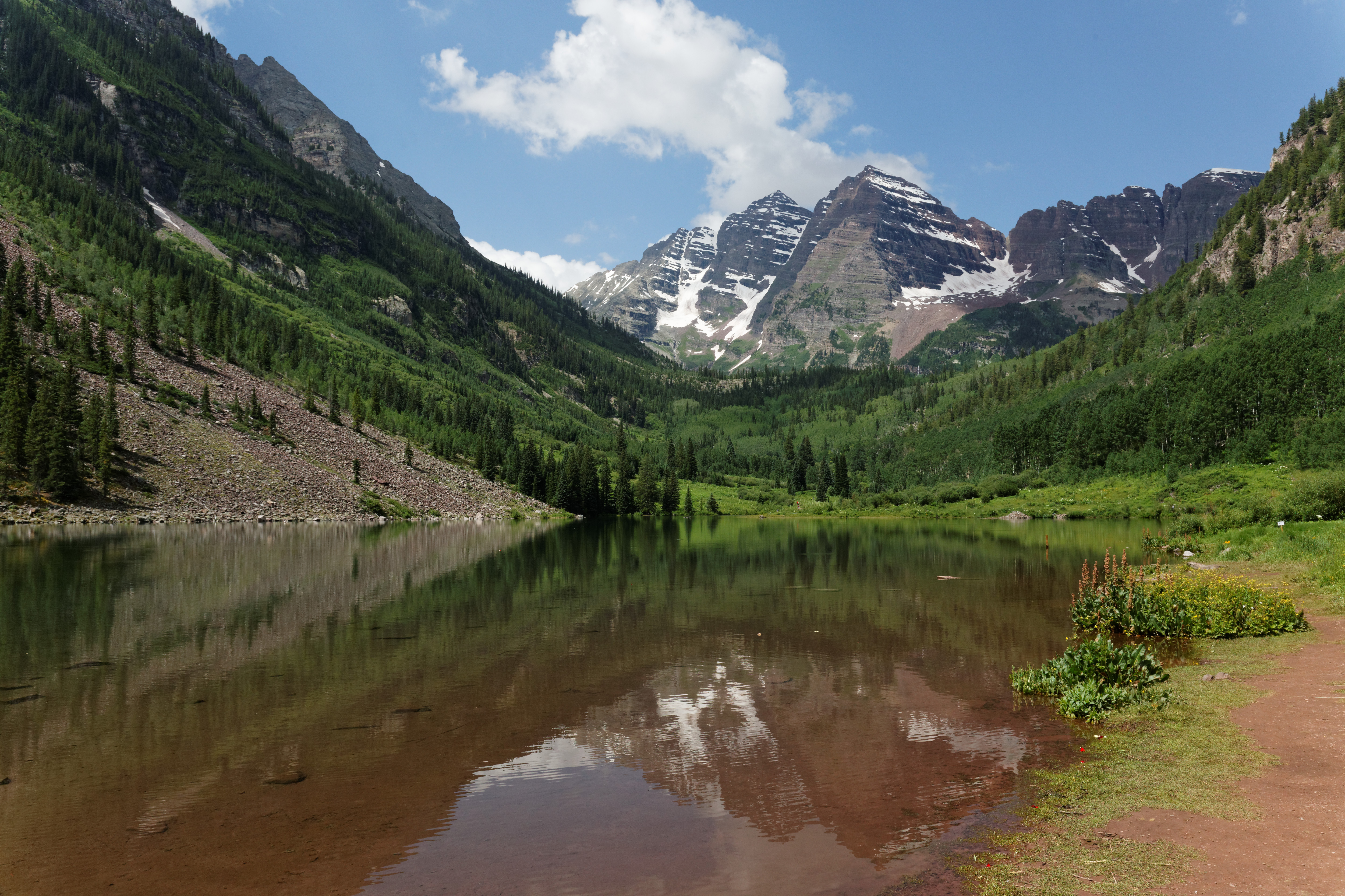
Maroon Bells 7/4
Topographic Map of The Slides, Colorado, USA
Find elevation by address:

Places near The Slides, Colorado, USA:
Flagpole Mountain
Huntsman Ridge North
Van Mountain
Lake Ridge North
Reno Mountain
Huntsman Ridge
Assignation Ridge
10830 Co-133
Hightower Mountain
Redstone
Redstone Blvd, Redstone, CO, USA
Dyke Creek Campground
Bulldog Creek
Mount Sopris
CO-, Carbondale, CO, USA
Porter Mountain
Elk Lake
Alpine Road
1225 Evergreen Ln
Thomas Lakes Th / Mount Sopris Trailhead
Recent Searches:
- Elevation of Corso Fratelli Cairoli, 35, Macerata MC, Italy
- Elevation of Tallevast Rd, Sarasota, FL, USA
- Elevation of 4th St E, Sonoma, CA, USA
- Elevation of Black Hollow Rd, Pennsdale, PA, USA
- Elevation of Oakland Ave, Williamsport, PA, USA
- Elevation of Pedrógão Grande, Portugal
- Elevation of Klee Dr, Martinsburg, WV, USA
- Elevation of Via Roma, Pieranica CR, Italy
- Elevation of Tavkvetili Mountain, Georgia
- Elevation of Hartfords Bluff Cir, Mt Pleasant, SC, USA