Elevation of Shire of Toodyay, Toodyay, WA, Australia
Location: Australia > Western Australia >
Longitude: 116.3721711
Latitude: -31.5037386
Elevation: 289m / 948feet
Barometric Pressure: 0KPa
Related Photos:

Hats eye view

Canola Fields North Toodyay

King on his throne
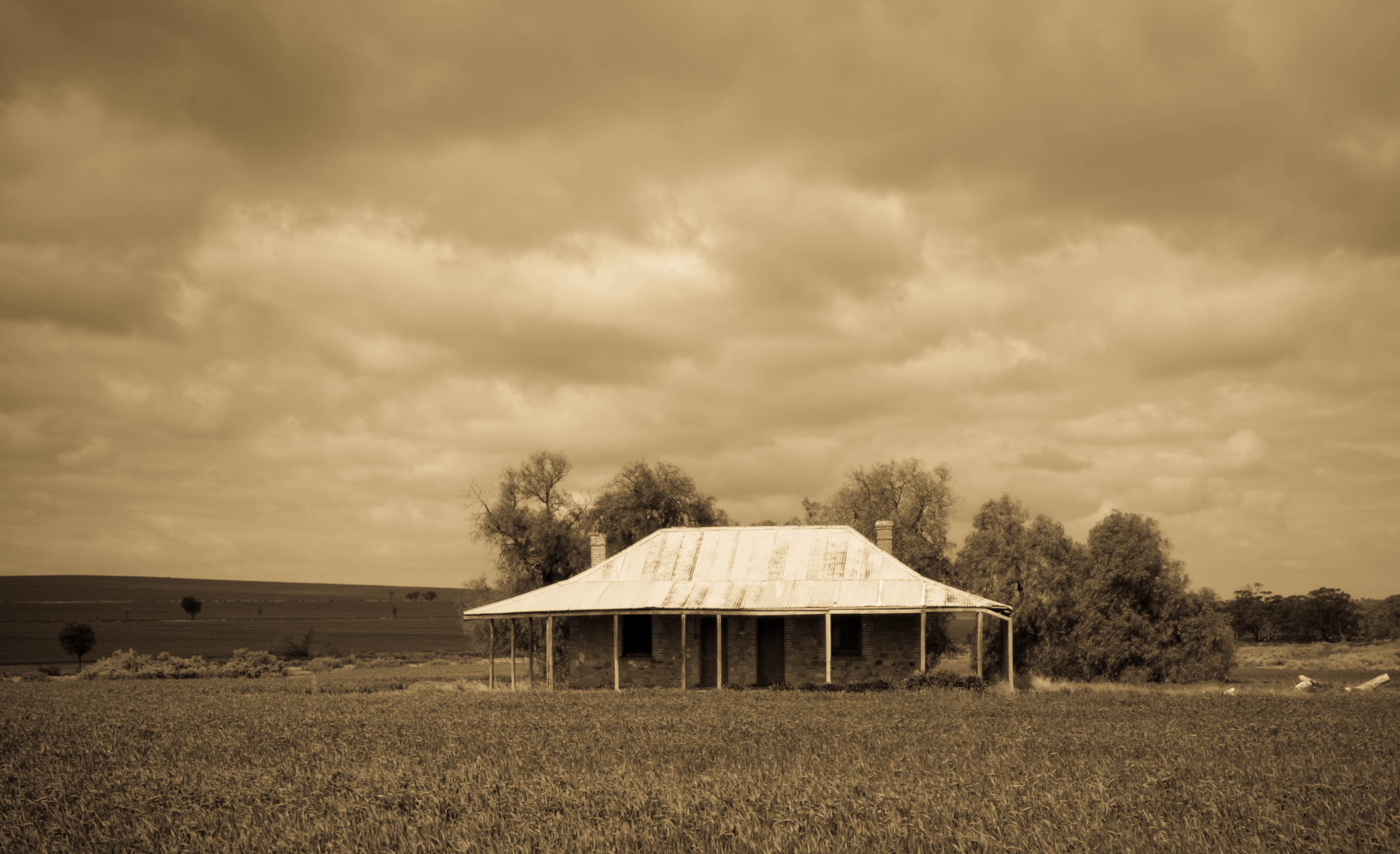
Rural Shed
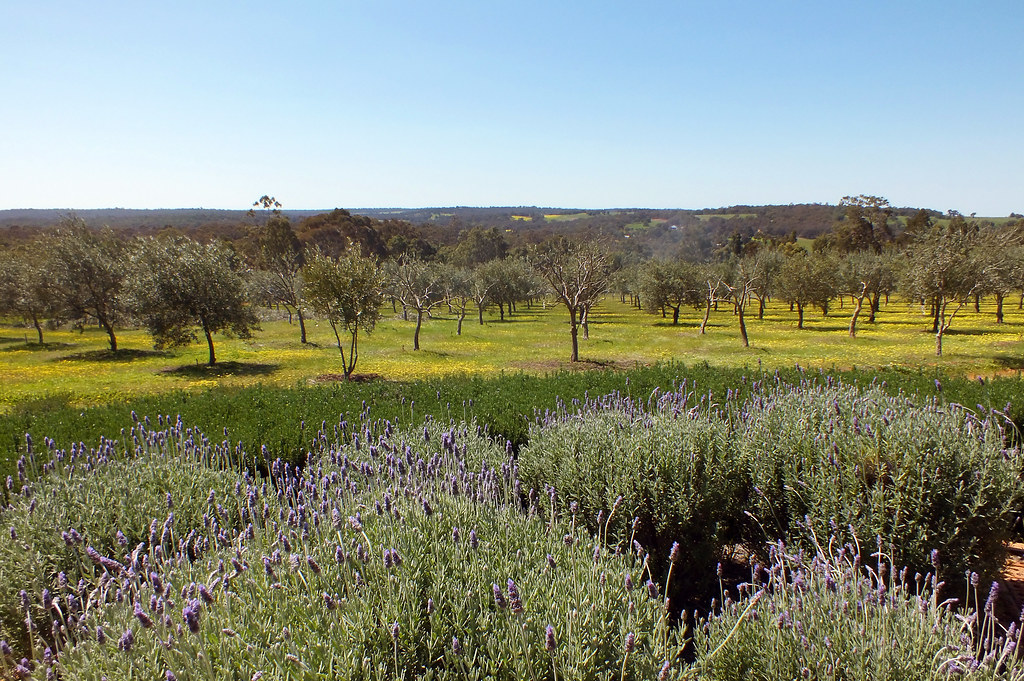
Olives and lavender

Deep purple

Tiny hands

Sunset revelry

Piece of sky
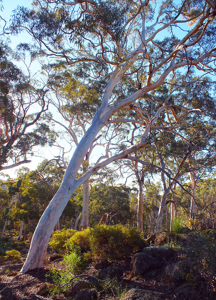
Beautiful gums

Merry friends
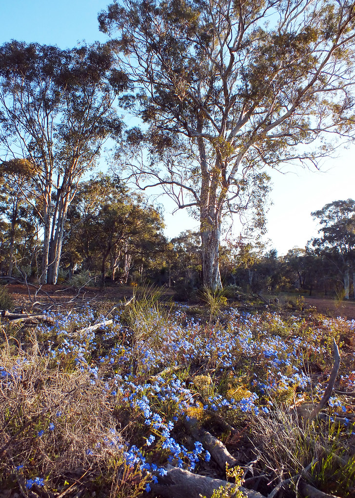
Spring blue
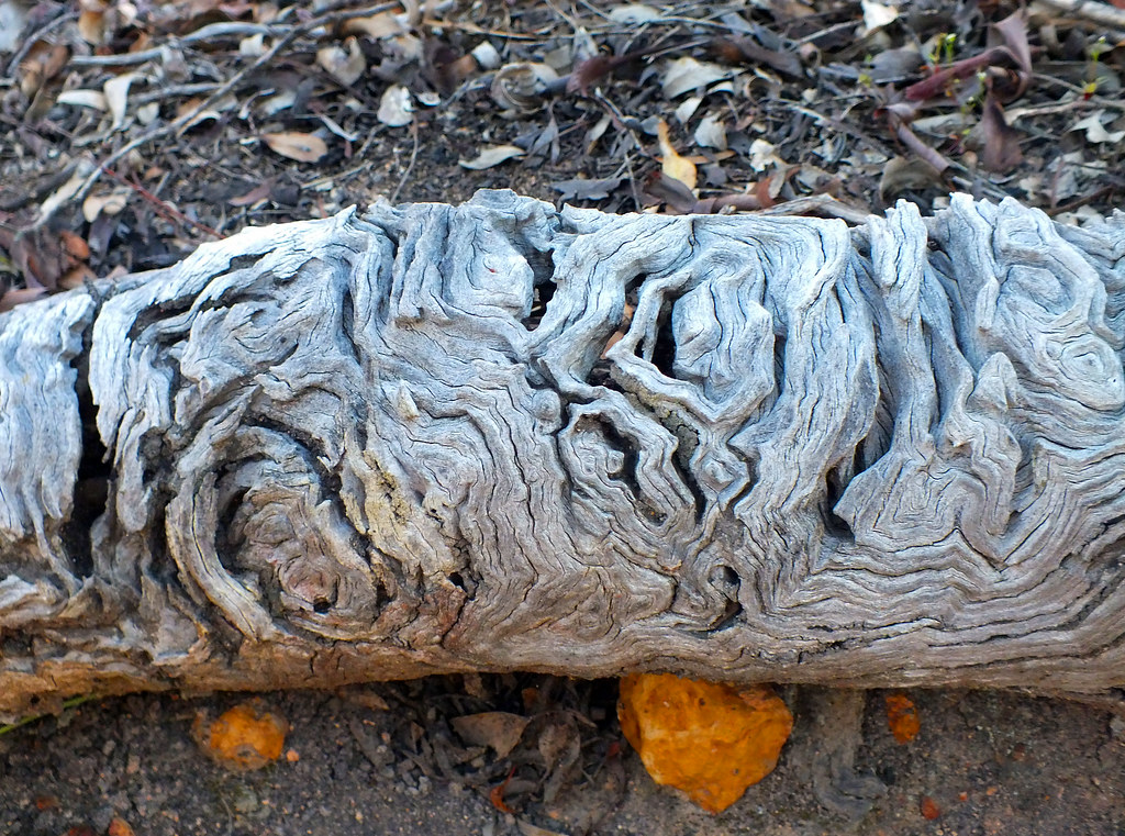
Hidden face
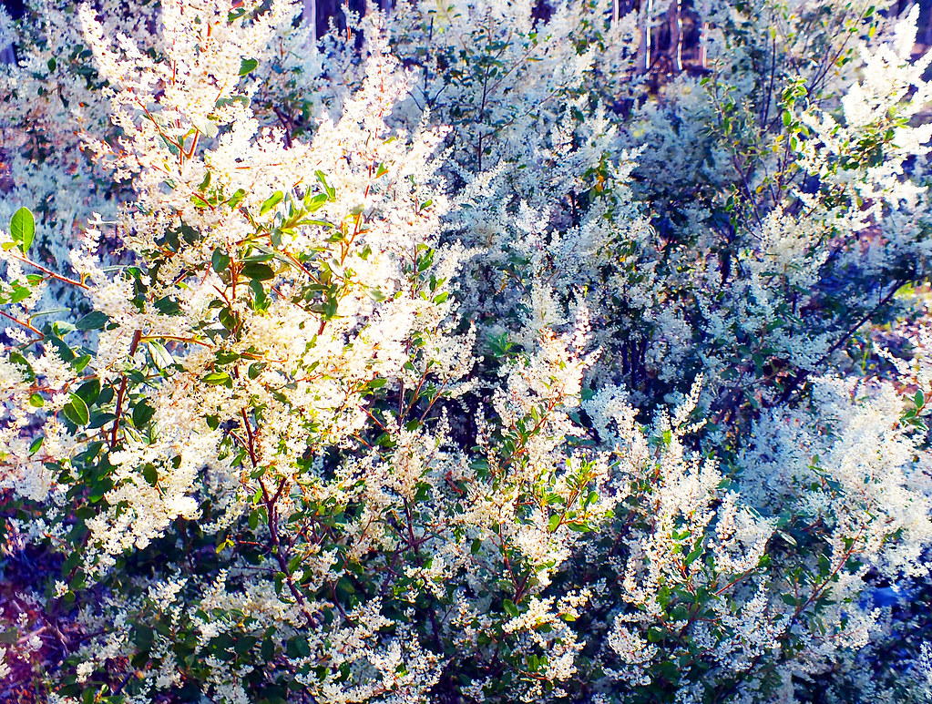
Like snow

Australian Farm Life - Winter

Gossamer web

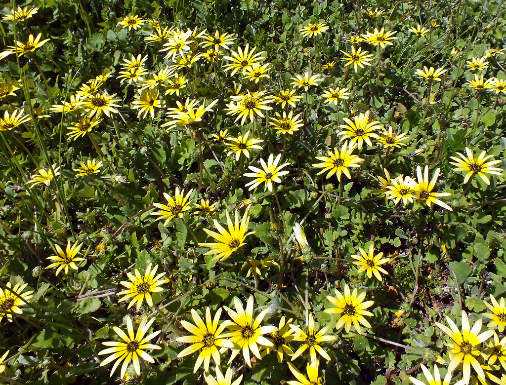
Eggs and bacon
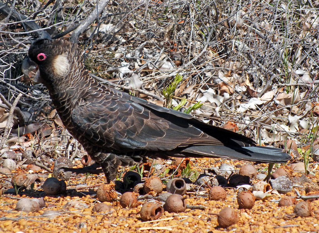
His favourite nuts
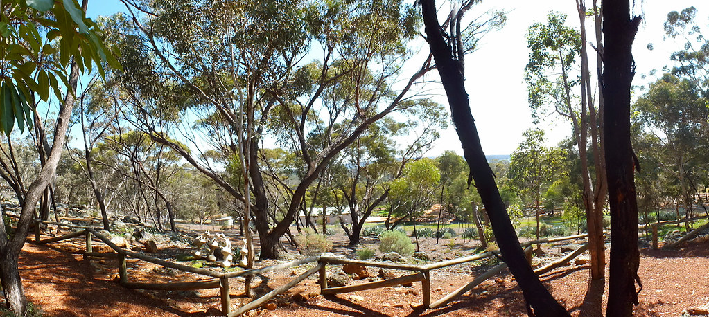
Out back of Toodyay
From the breakfast table
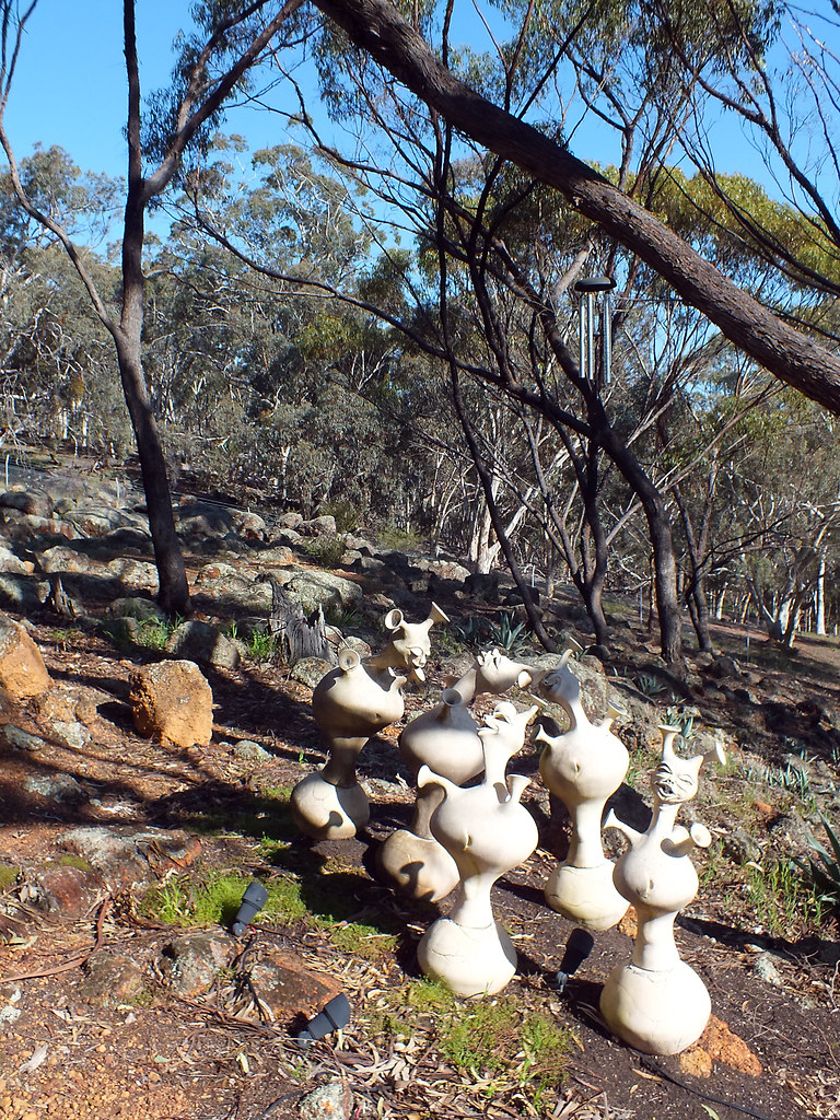
Many eyes
Wood sprites
Topographic Map of Shire of Toodyay, Toodyay, WA, Australia
Find elevation by address:

Places in Shire of Toodyay, Toodyay, WA, Australia:
Places near Shire of Toodyay, Toodyay, WA, Australia:
122 Malkup Brook Rd
19 Powder Bark Rd
419 Parkland Dr
West Toodyay
2 Wellington St
Julimar
Toodyay
28 Jubilee St
5 Mastalerz Retreat
Stirlingia Drive
129 Wandoo Cir
20 Duke St
288 Chitty Rd
Hoggarth Road
Bakers Hill
Clackline
Shire Of Chittering
Northam
Shire Of Northam
City Of Swan
Recent Searches:
- Elevation of 10370, West 107th Circle, Westminster, Jefferson County, Colorado, 80021, USA
- Elevation of 611, Roman Road, Old Ford, Bow, London, England, E3 2RW, United Kingdom
- Elevation of 116, Beartown Road, Underhill, Chittenden County, Vermont, 05489, USA
- Elevation of Window Rock, Colfax County, New Mexico, 87714, USA
- Elevation of 4807, Rosecroft Street, Kempsville Gardens, Virginia Beach, Virginia, 23464, USA
- Elevation map of Matawinie, Quebec, Canada
- Elevation of Sainte-Émélie-de-l'Énergie, Matawinie, Quebec, Canada
- Elevation of Rue du Pont, Sainte-Émélie-de-l'Énergie, Matawinie, Quebec, J0K2K0, Canada
- Elevation of 8, Rue de Bécancour, Blainville, Thérèse-De Blainville, Quebec, J7B1N2, Canada
- Elevation of Wilmot Court North, 163, University Avenue West, Northdale, Waterloo, Region of Waterloo, Ontario, N2L6B6, Canada
- Elevation map of Panamá Province, Panama
- Elevation of Balboa, Panamá Province, Panama
- Elevation of San Miguel, Balboa, Panamá Province, Panama
- Elevation of Isla Gibraleón, San Miguel, Balboa, Panamá Province, Panama
- Elevation of 4655, Krischke Road, Schulenburg, Fayette County, Texas, 78956, USA
- Elevation of Carnegie Avenue, Downtown Cleveland, Cleveland, Cuyahoga County, Ohio, 44115, USA
- Elevation of Walhonding, Coshocton County, Ohio, USA
- Elevation of Clifton Down, Clifton, Bristol, City of Bristol, England, BS8 3HU, United Kingdom
- Elevation map of Auvergne-Rhône-Alpes, France
- Elevation map of Upper Savoy, Auvergne-Rhône-Alpes, France