Elevation of Bakers Hill WA, Australia

Location: Australia > Western Australia > Shire Of Northam >

Longitude: 116.456935

Latitude: -31.749429

Elevation: 306m / 1004feet

Barometric Pressure: 98KPa

Elevation Map:

elevation map of Bakers Hill WA, Australia

Satellite Map:

Satellite map of Bakers Hill WA, Australia

Related Photos:

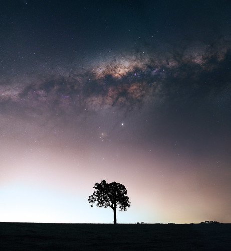
bailup panorama stitched mosaic msice milky way cosmology southern hemisphere cosmos western australia dslr long exposure rural night photography nikon stars astronomy space galaxy astrophotography outdoor core great rift ancient sky 35mm d5500 landscape tree silhouette tracked ioptron skytracker light pollution
Milky Way at Bailup, Western Australia
sheoak in the mist
bailup panorama stitched mosaic msice milky way cosmology southern hemisphere cosmos western australia dslr long exposure rural night photography nikon stars astronomy space galaxy astrophotography outdoor core great rift ancient sky 35mm d5500 landscape tree silhouette tracked ioptron skytracker light pollution
Milky Way above the light pollution of Perth near Bailup, Western Australia
bailup panorama stitched mosaic msice milky way cosmology southern hemisphere cosmos western australia dslr long exposure rural night photography nikon stars astronomy space galaxy astrophotography outdoor core great rift ancient sky 35mm d5500 landscape tree silhouette tracked ioptron skytracker light pollution trees lake pond
Milky Way at Bailup, Western Australia
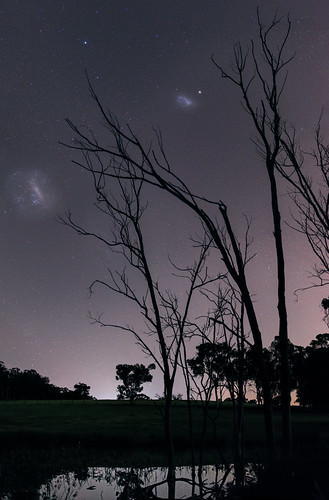
large magellanic cloud panorama stitched mosaic southern hemisphere cosmos western australia dslr long exposure night photography nikon stars astronomy space galaxy astrophotography outdoor ancient sky 35mm d5500 landscape tracked ioptron skytracker star tracking dead trees lake water light pollution bailup
Magellanic Clouds at Bailup, Western Australia
trees field clouds rural landscape countryside bush scenery sony scenic australia alpha westernaustralia carlzeiss a99 spencersbrook sal1635z variosonnar163528za slta99 stevekphotography
One Sunny Day
summer panorama rural landscape countryside bush scenery sony country scenic dry australia fullframe alpha ff westernaustralia a99 sal50f14 spencersbrook slta99 stevekphotography
Spencers Brook Road Panorama
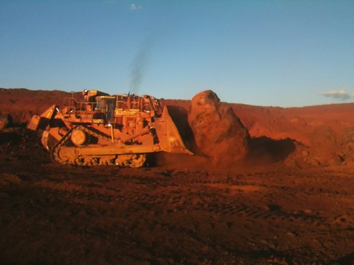
cat mining caterpillar westernaustralia iphone ironore pilbara cloudbreak d11
Cat D11r playing
australia northam westernaustralia gastrolobium taxonomy:class=magnoliopsida taxonomy:family=fabaceae taxonomy:order=fabales taxonomy:kingdom=plantae geo:country=australia taxonomy:phylum=magnoliophyta geocode:method=googleearth geocode:accuracy=5000meters gastrolobiumsp taxonomy:genus=gastrolobium
Unidentifed legume (? Gastrolobium sp.)
road highway australia roadtrip hillside pipeline westernaustralia philscamera shotfromthecar watersupply greateasternhighway goldenpipeline designedbycyoconnor thegoldenpipeline
Following The Golden Pipeline
Falling Water
298 365 Platypus Rock Pond
sky cloud farm farmland beechina
Typical WA Farm & Sky