Elevation of Toodyay WA, Australia
Location: Australia > Western Australia > Shire Of Toodyay >
Longitude: 116.45
Latitude: -31.55
Elevation: 173m / 568feet
Barometric Pressure: 99KPa
Elevation Map:
Satellite Map:
Related Photos:

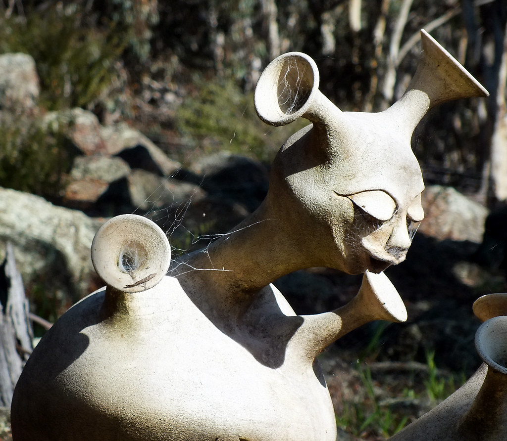
Hats eye view

King on his throne

Canola Fields North Toodyay
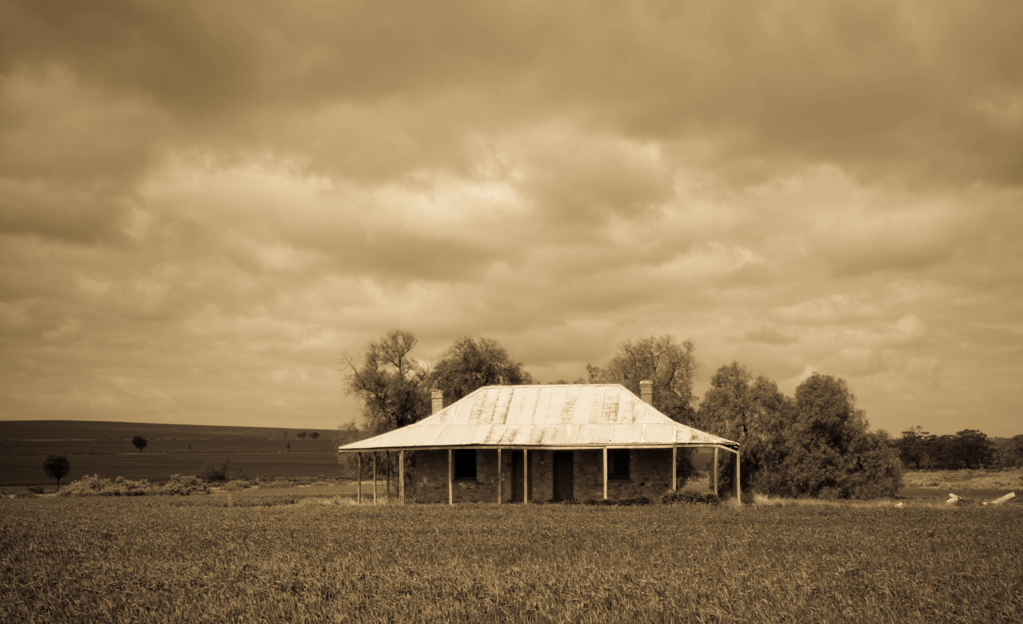
Rural Shed
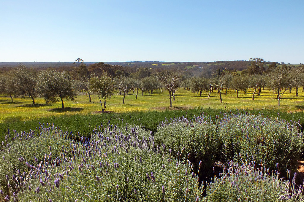
Olives and lavender
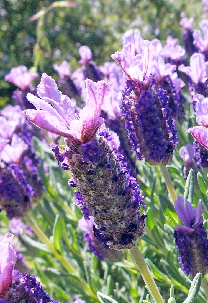
Deep purple
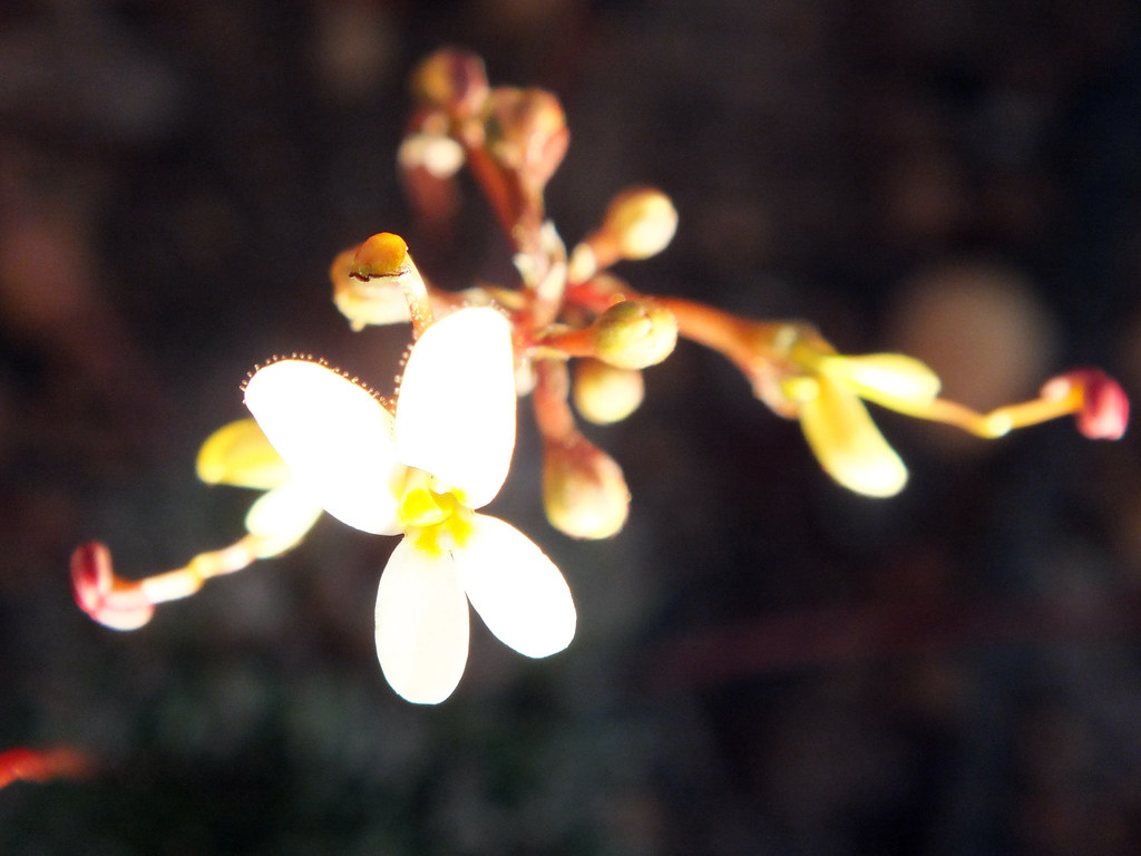
Tiny hands
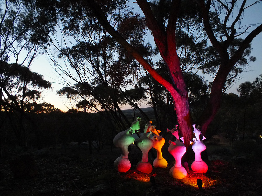
Sunset revelry
Piece of sky
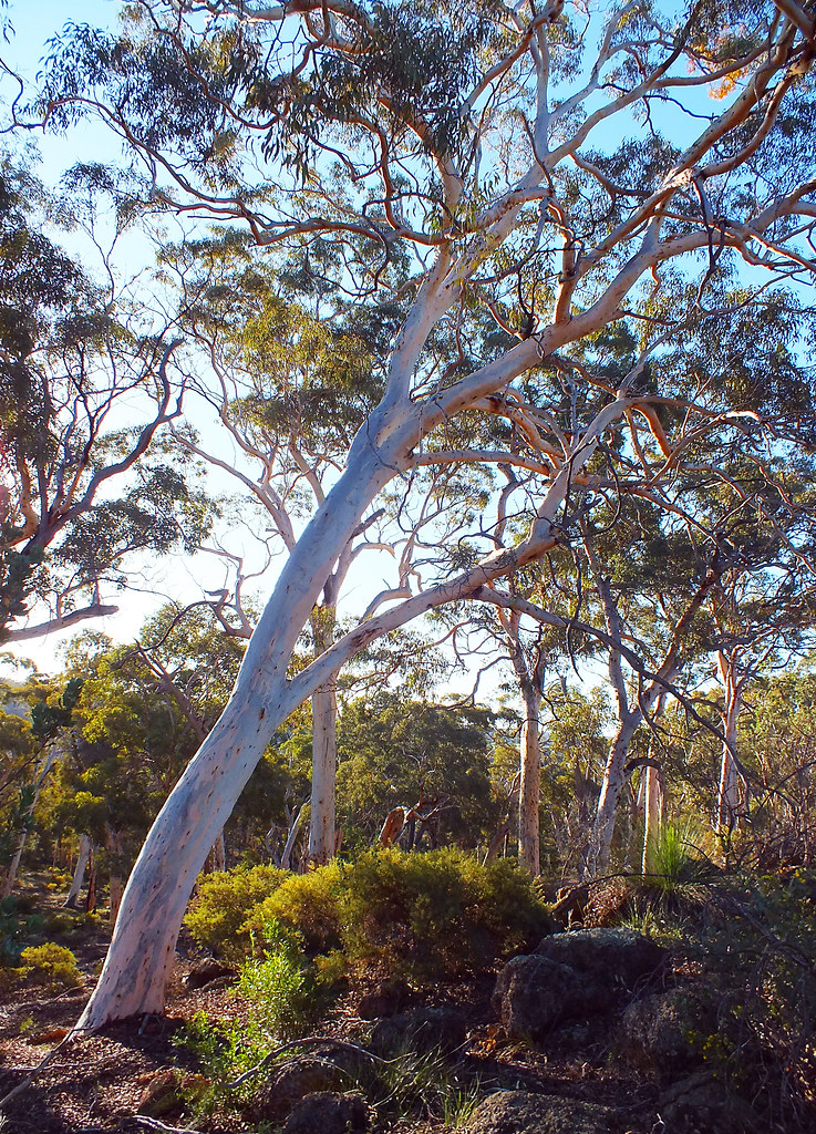
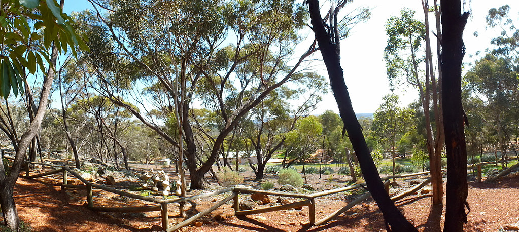
Beautiful gums
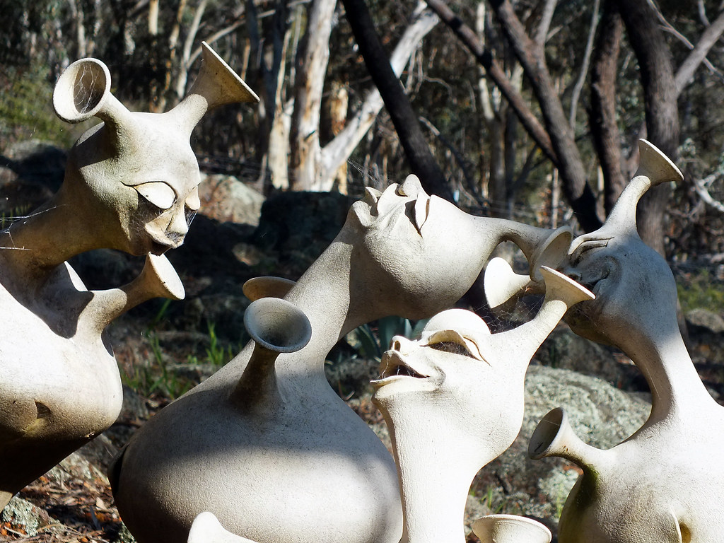
Merry friends
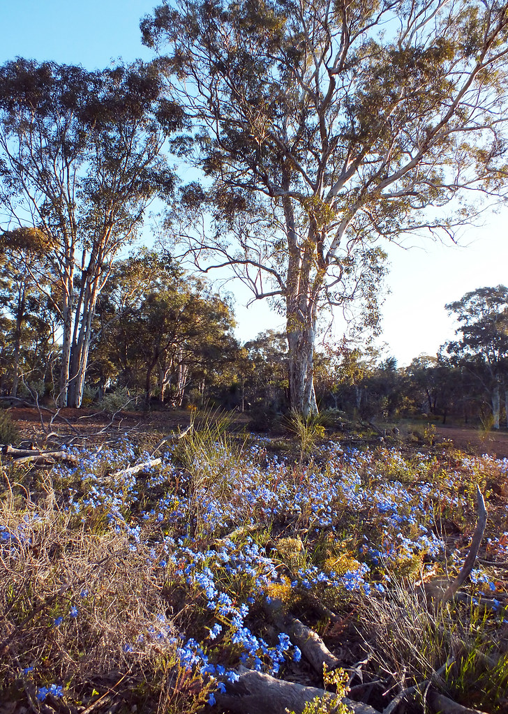
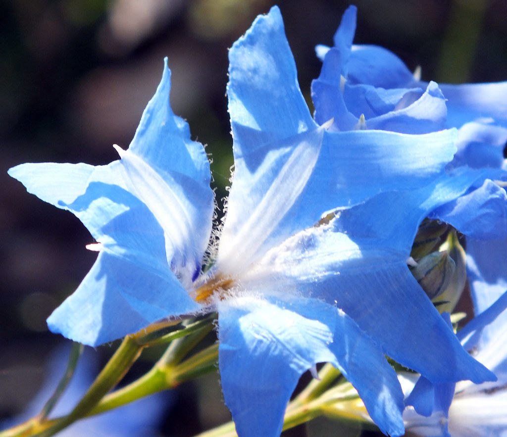
Spring blue
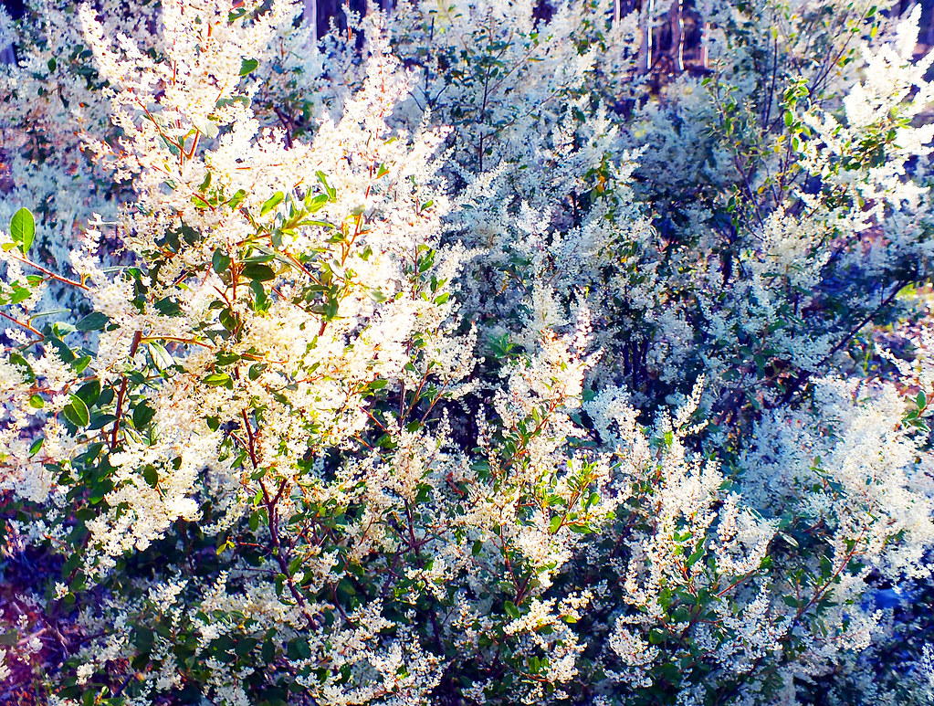
Like snow
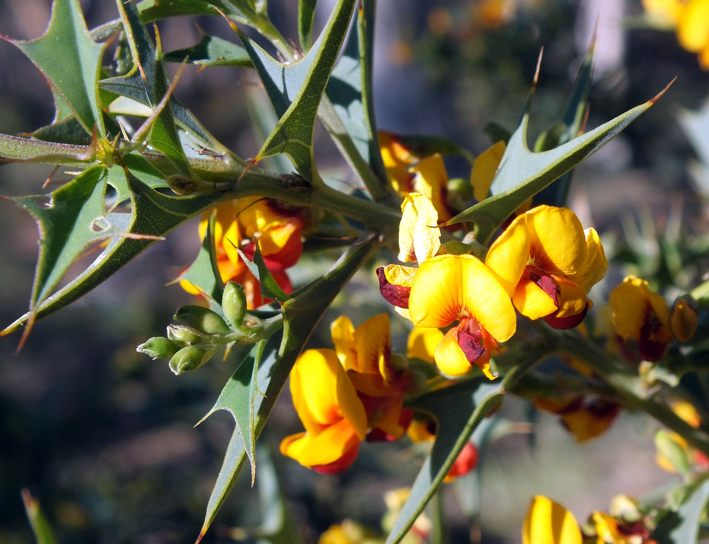
Eggs and bacon
Gossamer web
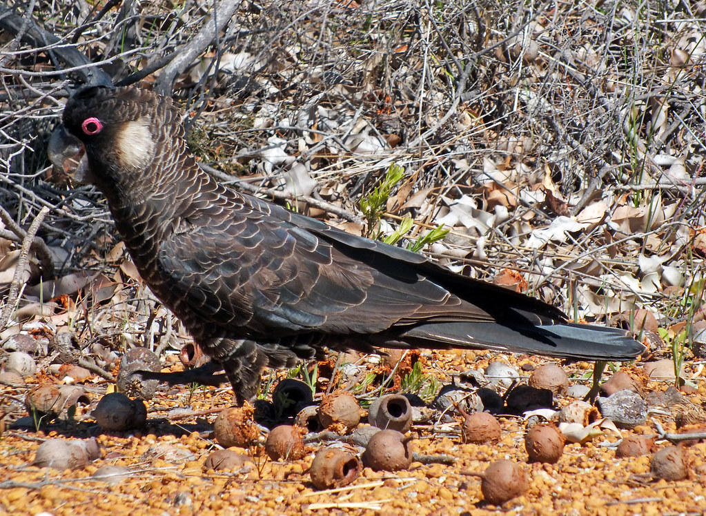
His favourite nuts
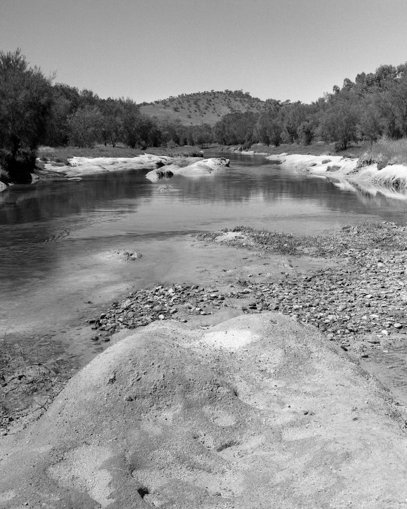
Out back of Toodyay
From the breakfast table
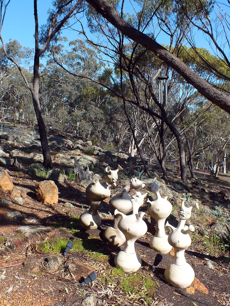
Many eyes
Wood sprites
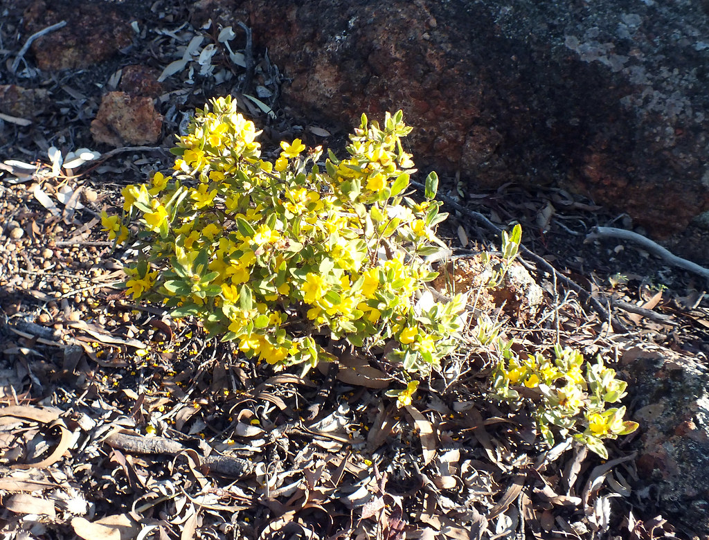
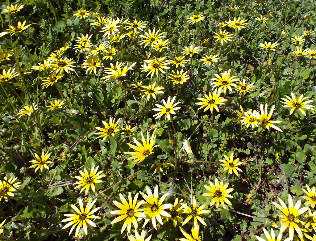
Yellow flash
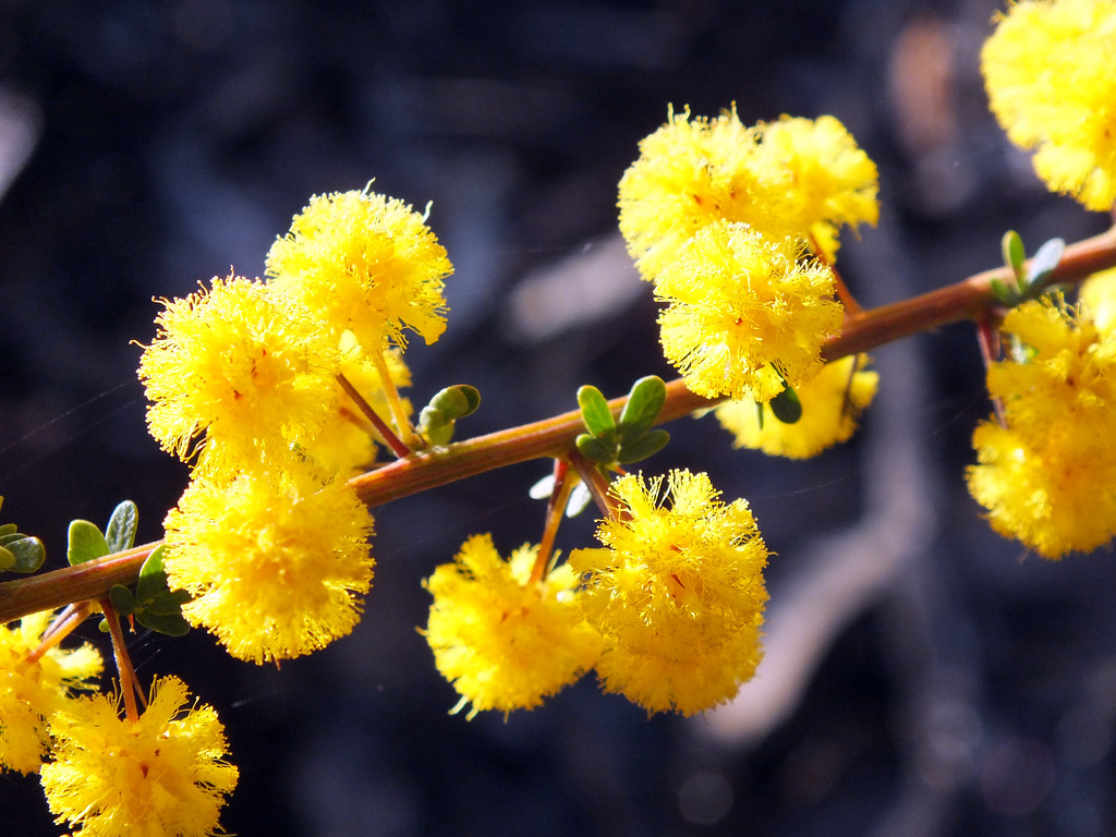
Yellow puffs
Topographic Map of Toodyay WA, Australia
Find elevation by address:

Places in Toodyay WA, Australia:
Places near Toodyay WA, Australia:
28 Jubilee St
5 Mastalerz Retreat
20 Duke St
Stirlingia Drive
2 Wellington St
West Toodyay
129 Wandoo Cir
Shire Of Toodyay
122 Malkup Brook Rd
419 Parkland Dr
19 Powder Bark Rd
Julimar
288 Chitty Rd
Hoggarth Road
Clackline
Bakers Hill
Northam
Shire Of Northam
Inkpen
Tudor Park Road
Recent Searches:
- Elevation of Corso Fratelli Cairoli, 35, Macerata MC, Italy
- Elevation of Tallevast Rd, Sarasota, FL, USA
- Elevation of 4th St E, Sonoma, CA, USA
- Elevation of Black Hollow Rd, Pennsdale, PA, USA
- Elevation of Oakland Ave, Williamsport, PA, USA
- Elevation of Pedrógão Grande, Portugal
- Elevation of Klee Dr, Martinsburg, WV, USA
- Elevation of Via Roma, Pieranica CR, Italy
- Elevation of Tavkvetili Mountain, Georgia
- Elevation of Hartfords Bluff Cir, Mt Pleasant, SC, USA