Elevation of Chitty Rd, Bakers Hill WA, Australia
Location: Australia > Western Australia > Shire Of Northam > Bakers Hill >
Longitude: 116.4722368
Latitude: -31.7131274
Elevation: 287m / 942feet
Barometric Pressure: 0KPa
Related Photos:

Katrine Astro 1

Katrine Astro 2

Katrine Astro 3

Nardie unsighted view to the river

Katrine detail 6

Wheat fields Katrine

sheoak in the mist

Final Stretch

One Sunny Day

Spencers Brook Road Panorama

Cat D11r playing

Katrine Rd, Toodyay

Early Crop

Unidentifed legume (? Gastrolobium sp.)
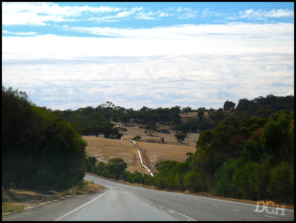
Following The Golden Pipeline

Falling Water

298 365 Platypus Rock Pond
Topographic Map of Chitty Rd, Bakers Hill WA, Australia
Find elevation by address:

Places near Chitty Rd, Bakers Hill WA, Australia:
Hoggarth Road
Bakers Hill
Clackline
129 Wandoo Cir
Stirlingia Drive
20 Duke St
Toodyay
Inkpen
28 Jubilee St
5 Mastalerz Retreat
2 Wellington St
West Toodyay
Northam
419 Parkland Dr
122 Malkup Brook Rd
Shire Of Toodyay
Tudor Park Road
Shire Of Northam
19 Powder Bark Rd
Julimar
Recent Searches:
- Elevation of 2881, Chabot Drive, San Bruno, San Mateo County, California, 94066, USA
- Elevation of 10370, West 107th Circle, Westminster, Jefferson County, Colorado, 80021, USA
- Elevation of 611, Roman Road, Old Ford, Bow, London, England, E3 2RW, United Kingdom
- Elevation of 116, Beartown Road, Underhill, Chittenden County, Vermont, 05489, USA
- Elevation of Window Rock, Colfax County, New Mexico, 87714, USA
- Elevation of 4807, Rosecroft Street, Kempsville Gardens, Virginia Beach, Virginia, 23464, USA
- Elevation map of Matawinie, Quebec, Canada
- Elevation of Sainte-Émélie-de-l'Énergie, Matawinie, Quebec, Canada
- Elevation of Rue du Pont, Sainte-Émélie-de-l'Énergie, Matawinie, Quebec, J0K2K0, Canada
- Elevation of 8, Rue de Bécancour, Blainville, Thérèse-De Blainville, Quebec, J7B1N2, Canada
- Elevation of Wilmot Court North, 163, University Avenue West, Northdale, Waterloo, Region of Waterloo, Ontario, N2L6B6, Canada
- Elevation map of Panamá Province, Panama
- Elevation of Balboa, Panamá Province, Panama
- Elevation of San Miguel, Balboa, Panamá Province, Panama
- Elevation of Isla Gibraleón, San Miguel, Balboa, Panamá Province, Panama
- Elevation of 4655, Krischke Road, Schulenburg, Fayette County, Texas, 78956, USA
- Elevation of Carnegie Avenue, Downtown Cleveland, Cleveland, Cuyahoga County, Ohio, 44115, USA
- Elevation of Walhonding, Coshocton County, Ohio, USA
- Elevation of Clifton Down, Clifton, Bristol, City of Bristol, England, BS8 3HU, United Kingdom
- Elevation map of Auvergne-Rhône-Alpes, France