Elevation of Seabrook Ct, Redwood City, CA, USA
Location: United States > California > San Mateo County > Redwood City >
Longitude: -122.23717
Latitude: 37.5476598
Elevation: 2m / 7feet
Barometric Pressure: 101KPa
Elevation Map:
Satellite Map:
Related Photos:

It Pays to be a 'Morning Person'

Life is Beautiful

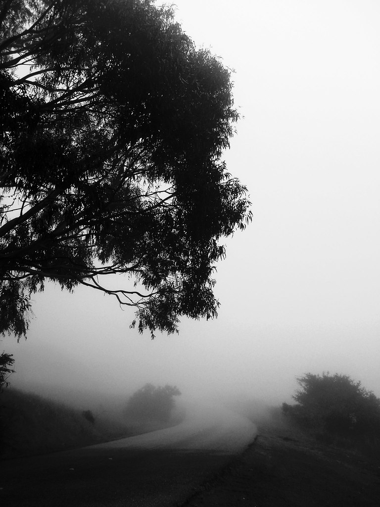
California Coastal Fog (explored)
I smell the first rain

Green lobby
Cloud's Rest

Message in a bottle
Late Again....

Almost got it! ~ Cedar Waxwing (Bombycilla cedrorum)

Egret Strut

Today's lunchtime view. The rain was great this morning & I love these clouds!

The best seat in the house
Power Meets Power
the gatekeeper

St John's

In the middle of grass

Closing Time
folds of oblivion
Having an epiphany at the Epiphany
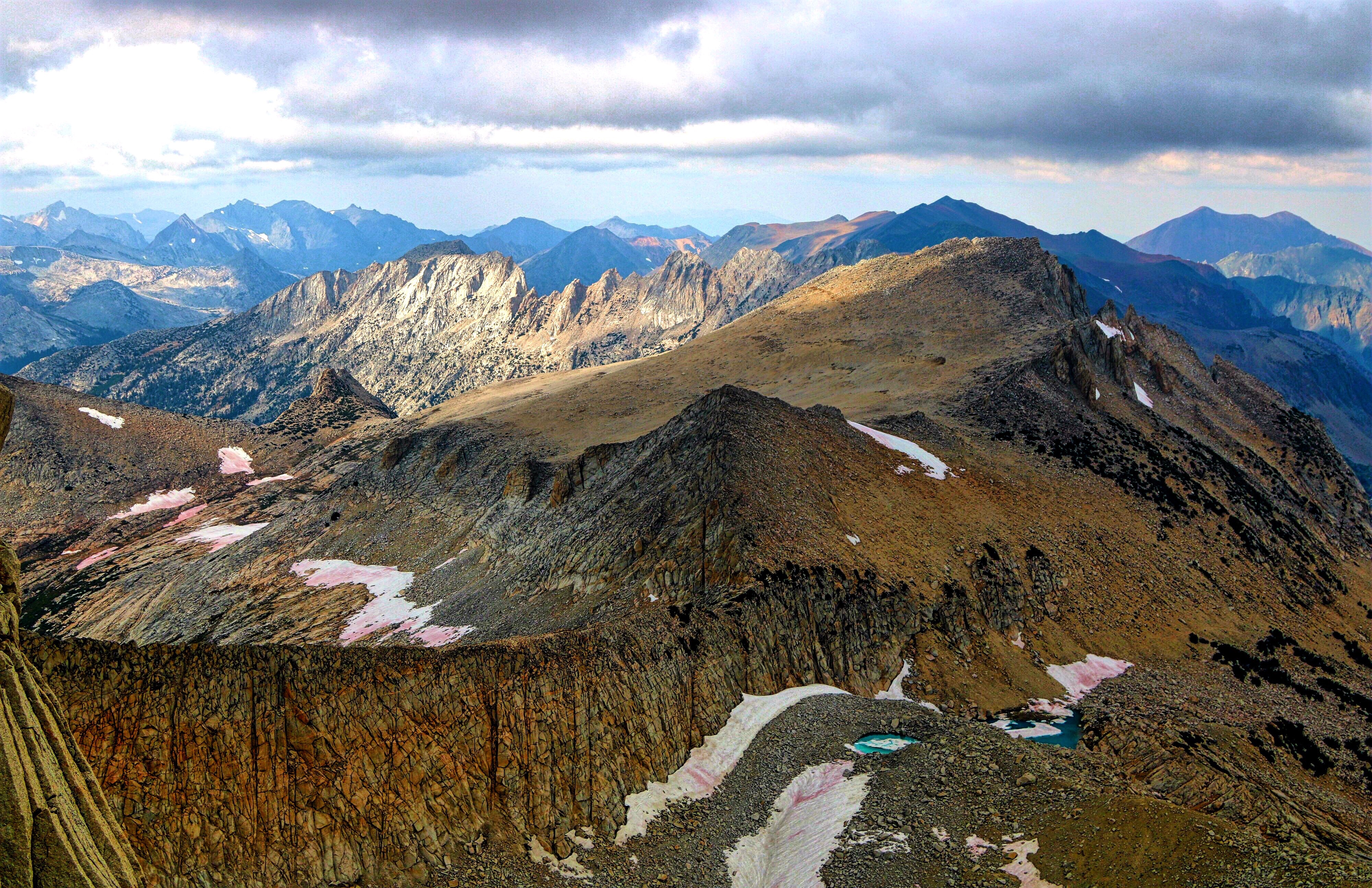
The high lonesome of Yosemite. Summit view of Count Conness.

Sun Burn
my favorite lone tree | cañada rd
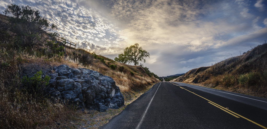
El Caminos in the West
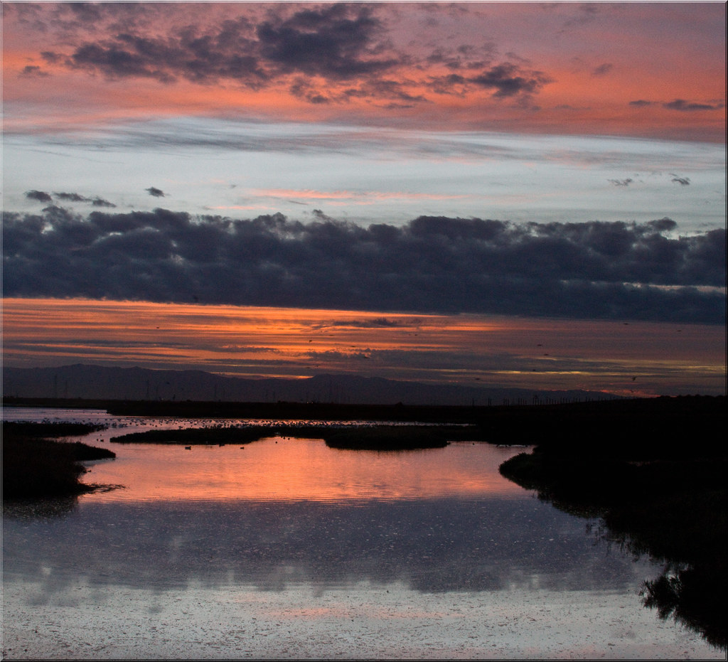
My Sunrise Place
Coyote Hills Regional Preserve

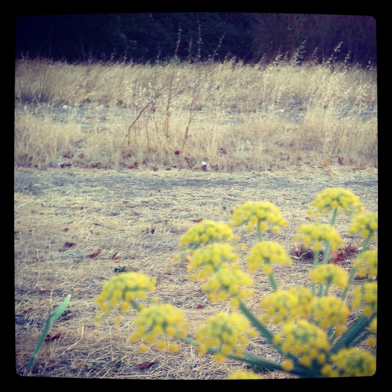
Mustard field
Purisima Creek
Cotoye Hills Regional Park 11.jpg

Sunrise over Mount Diablo and San Francisco Bay - Millbrae California

Redwood Shores

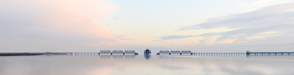
Dumbarton Pier 06.jpg

DSC00963.JPG
san andreas

Tree in Yellow Field
Palo Alto Baylands

Trees and Rays

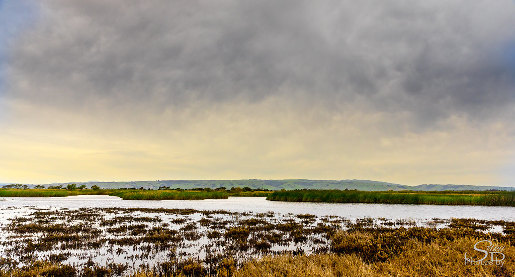
Eden Landing
Topographic Map of Seabrook Ct, Redwood City, CA, USA
Find elevation by address:

Places near Seabrook Ct, Redwood City, CA, USA:
806 Cape Cod Dr
Redwood Shores
1441 Beach Park Blvd
900 Beach Park Blvd Apt 155
704 Bahama Ln
331 Dolphin Isle
705 Bahama Ln
1651 Beach Park Blvd
512 Compass Cir
1100 Lord Ivelson Ln
1004 Windjammer Cir
Heron Court
Bounty Dr, Foster City, CA, USA
Fifa Headquarters
Oracle Building 500
851 Cabot Ln
Assia Inc
240 Puffin Ct
San Mateo, CA, USA
San Carlos Airport
Recent Searches:
- Elevation of Corso Fratelli Cairoli, 35, Macerata MC, Italy
- Elevation of Tallevast Rd, Sarasota, FL, USA
- Elevation of 4th St E, Sonoma, CA, USA
- Elevation of Black Hollow Rd, Pennsdale, PA, USA
- Elevation of Oakland Ave, Williamsport, PA, USA
- Elevation of Pedrógão Grande, Portugal
- Elevation of Klee Dr, Martinsburg, WV, USA
- Elevation of Via Roma, Pieranica CR, Italy
- Elevation of Tavkvetili Mountain, Georgia
- Elevation of Hartfords Bluff Cir, Mt Pleasant, SC, USA