Elevation of Beach Park Blvd APT, Foster City, CA, USA
Location: United States > California > San Mateo County > Foster City >

Longitude: -122.25896

Latitude: 37.5479791

Elevation: 1m / 3feet

Barometric Pressure: 101KPa

Elevation Map:

elevation map of Beach Park Blvd APT, Foster City, CA, USA

Satellite Map:

Satellite map of Beach Park Blvd APT, Foster City, CA, USA
Related Photos:

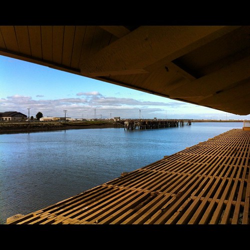
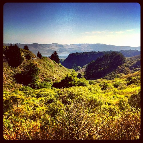
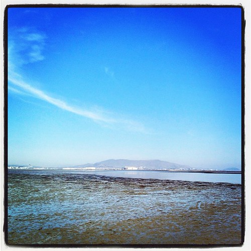
square squareformat iphoneography instagramapp uploaded:by=instagram foursquare:venue=4be2eeb4b02ec9b67a0c4ec0
View from the training center.
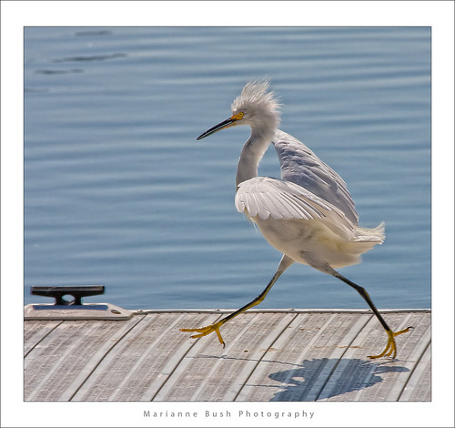
white bird interestingness bravo 11 explore egret strut snowyegret shorebird egrettathula naturesfinest 255 theintimidator specanimal impressedbeauty avianexcellence
Egret Strut
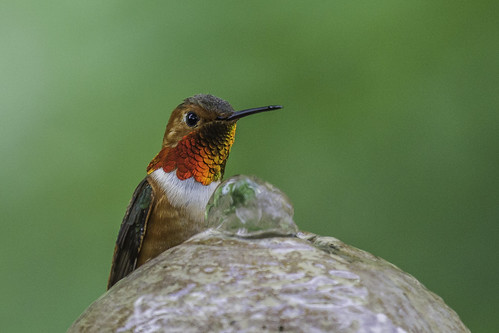
motion bird nature glass wings hummingbird fav50 bokeh beak feeder fav20 sugar nectar pajaro fav30 oiseau flutter uccello colibri zucchero nettare 1000v fav10 fav40 elmofoto lorenzomontezemolo flickrmarketplace flickrlicensing
sometimes you just need to wet your beak | atherton, ca
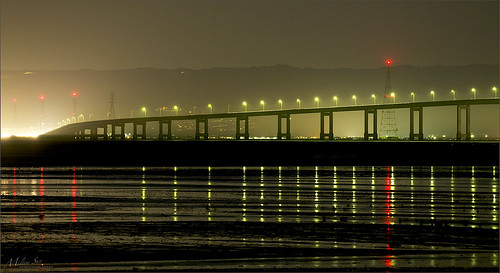
sanmateobridge sr92 coyotepointpark burlingame california sanmateo–haywardbridge longexposure dusk seascape bay ngc bayarea wave ocean shore seaside coast westcoast pacificocean landscape outdoor clouds sky water rock mountain rollinghills sea sand beach cliff nature wetlands evening nightphotography nightscene bridge
Night Bridge and Its Reflections
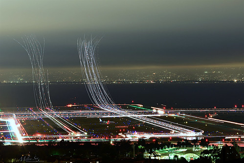
sfo longexposure dusk california sky evening nightphotography nightscene traffictrails traillights airplane aircraft house sanfranciscointernationalairport airport
SFO’s Saturday Night
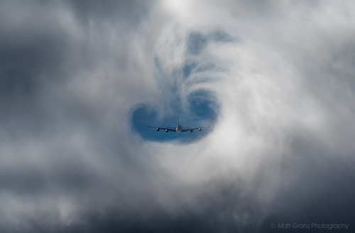
vortex fog sfo aircraft aviation flight a380 heavy takeoff airliner jetplane airfrance inaugural sanbruno jetliner sanfranciscointernationalairport
A380 Fog Vortex
wood plant green table hotel raw bokeh lobby fav30 hdr 2xp photomatix theepiphany nex6
Green lobby
lighttrails sanfranciscointernationalairport millbrae sanfrancisco lowfog foginsf cityscape longexposure dusk seascape bay ngc bayarea wave ocean shore seaside coast california landscape outdoor clouds sky water nightphotography nightscene traffictrails
Flew into the Night Clouds
square squareformat iphoneography instagramapp uploaded:by=instagram foursquare:venue=4e7353abb61c804a2de89cc6
My new home station - Mountain View, CA
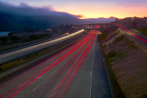
trafficlighttrails lighttrails interstate280 route92 sanmateo lowfog foginsf longexposure dusk seascape bay ngc bayarea wave ocean shore seaside coast california landscape outdoor clouds sky mountain rollinghills evening sunset traffictrails summer
On Their Way Home
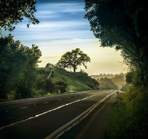
lonetree filoli nikon d800 nikond800 cañada sanmateocounty unitedstates california road pillar woodside sfbayarea sanfranciscobayarea elmofoto lorenzomontezemolo northerncalifornia explore explored gettyimages day cloudy fav10 fav20 fav30 fav40 fav50 fav60 fav70 fav80 fav90 fav100 10000v
pillar | woodside, ca
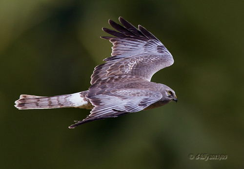
ngc flight northernharrier avianexcellence coyotehillsbirds2013
'out of nowhere'
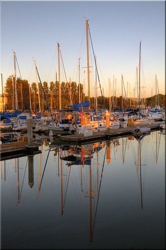
city light creek marina sunrise reflections dawn golden harbor pier day flag clear solstice 100views sail redwood sailboats masts blvd seaport 1315
Quiet Morning
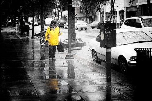
california blackandwhite streetphotography paloalto siliconvalley selectivecolour summilux50mm leicam9 stephencosh
Sweeping Yellow
ca city summer port sunrise solstice 100views redwood slough hdr westpoint 2419 2424 2420 2422 photomatix 2421 2423 vertorama
Dawn at the Slough
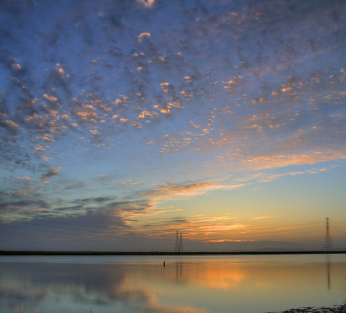
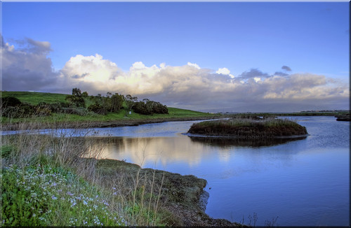
park ca blue clouds peaceful lagoon 100views hdr menlo bayfront photomatix 5264 5266 5265
Quiet Lagoon
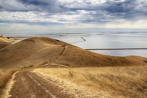
california bridge landscape bay saltpond sanfranciscobay coyotehills dumbartonbridge
Golden Hills
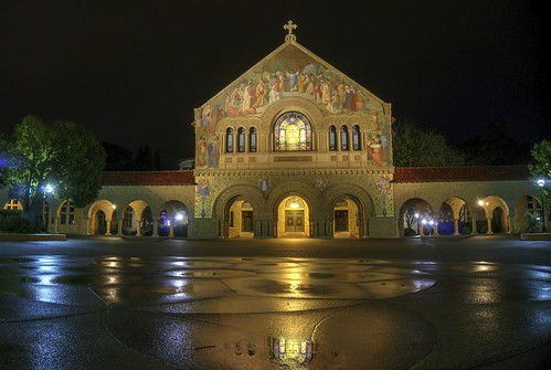
stanforduniversity campus memorialchurch rain night reflection rainreflection wetreflection church hdr 2xp raw nex6 selp1650 photomatix fav50 stanford siliconvalley sanfranciscobay building architecture
It rains, at last!
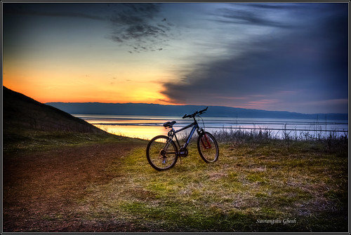
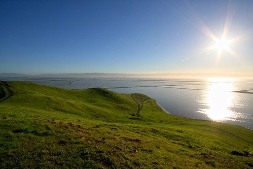
california sunset cycle hdr coyotehills keepingfit exercing suvrangshughoshphotography suvghoshphotography committobefitkeepexercising sunserbike sunsetlandscapewaterscapecanon5d
Commit to be fit , keep exercising
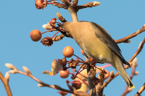
cedarwaxwing waxwing bombycilla cedrorum bombycillacedrorum edenlandingecologicalreserve edenlanding unioncity california edenshore edenshorespark hayward bird feeding nature wildlife blue sky passerine passerinebird eatingberries
Almost got it! ~ Cedar Waxwing (Bombycilla cedrorum)
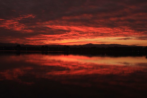
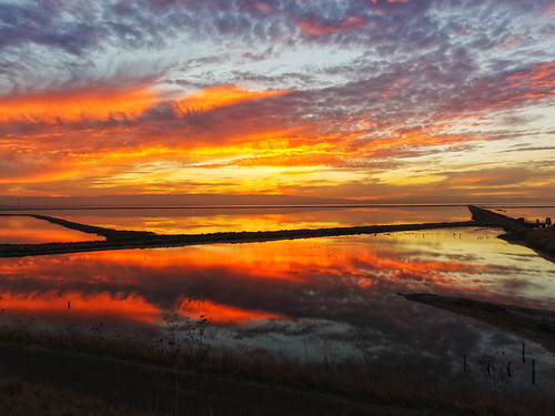
california park autumn sunset red sky orange usa lake reflection fall water clouds america fire afternoon burn fostercity memorialpark sanmateocounty naturesfinest platinumphoto colorphotoaward leojryan
Sun Burn
Cotoye Hills Regional Park 11.jpg
DSC00963.JPG
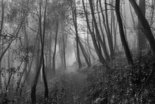
california sanmateo purisimacreek blackandwhite fog
Purisima Creek
Redwood Shores
trees nature water fog landscape powerlines sanandreasfault marinelayer sanmateocounty portola crystalspringsreservoir weatherpatterns brightsunnydays d7000 galleryoffantasticshots
Power Meets Power
square squareformat hudson iphoneography instagramapp uploaded:by=instagram foursquare:venue=4bac1285f964a5204be23ae3
Way better than the DMV...
california sunset fremont coyotehills ebparksok
No Name Trail
california birds northerncalifornia ngc hummingbirds eastbay alamedacounty allenshummingbird selasphorussasin coyotehillsregionalpark avianexcellence
Allen's Hummingbird
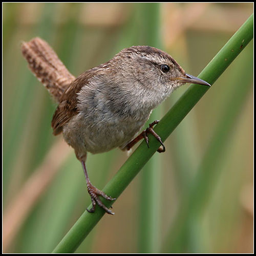
bird birds bravo quality wren marshwren cistothoruspalustris birdoftheday specnature specanimal
Marsh Wren
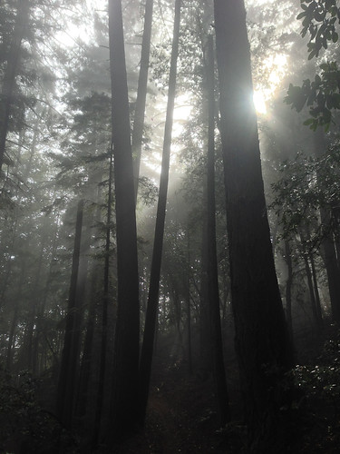
Sun breaking through fog
bird canon fremont 7d western coyotehills meadowlark birdperfect
Hello! I'm Western Meadowlark
square squareformat amaro iphoneography instagramapp uploaded:by=instagram foursquare:venue=41059b00f964a520850b1fe3
home again!!!
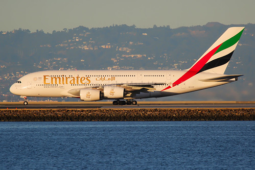
spotting ksfo canon plane aviation
Emirates Airbus A380-861 A6-EOF
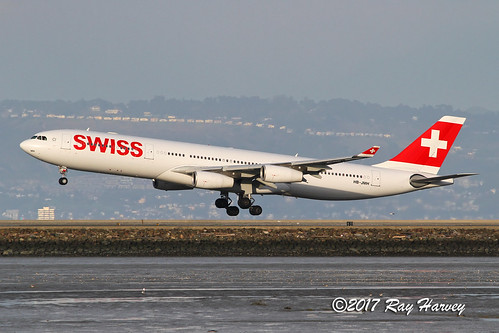
swissinternationalairlines swiss hbjmh airbusa340 airbusa340300 airbusa340313 airbus a340 a340300 a340313 a343 ksfo sfo sanfranciscointernationalairport sanfranciscoairport sanfrancisco
HB-JMH
longexposure tree clouds weeds wind le epic ascape
Tribute to A-scape
sf california ca sea orange usa water yellow sunrise landscape dawn bay us san francisco unitedstates tide low over calif mount diablo burlingame millbrae flickrstruereflection1 ilobsterit
Sunrise over Mount Diablo and San Francisco Bay - Millbrae California
An unusual view of San Francisco
Upside down
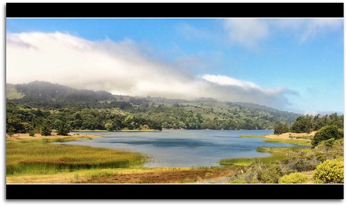
california mountains fog searchthebest legacy tqm 2010 swp sanmateocounty lavieenrose isawthelight cherryontop creativephoto goldengallery forgottentreasures naturesgallery anawesomeshot citrit finestnature breathtakinglandscapes theperfectphotographer yourpreferredpicture thirdlife scrapping61 spiritofphotography photossansfrontieres outstandinglandscapes goldenlandscape naturelive ilikethenature focusonbeauty cubeexcellency ablackrose jotbes daarklands sailsevenseas trolledproud trollieexcellence bestoriginalshooting friendsamicizia artnetcomtemporary heavensshots natureskingdom pinnaclephotography cyrstalspringsreservior
Rolling In...
Mills Canyon-5355-2
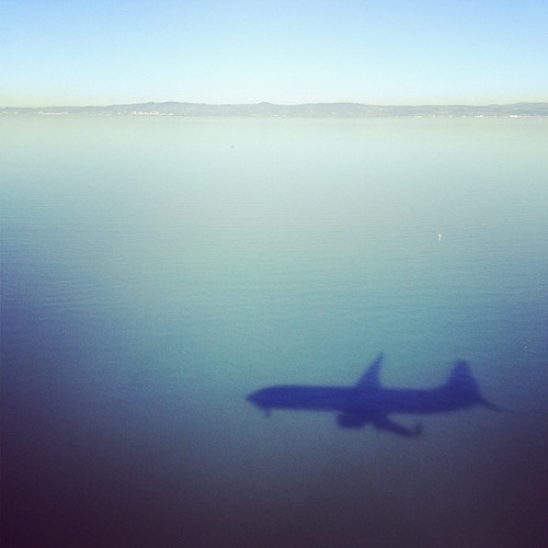
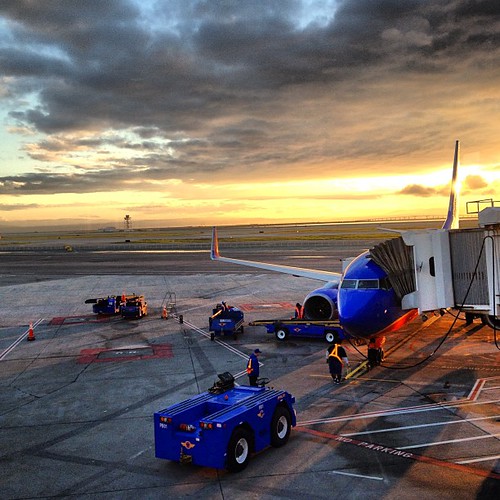
square squareformat iphoneography instagramapp uploaded:by=instagram foursquare:venue=41059b00f964a520850b1fe3
stop me if you seen this before #planestagram