Elevation of Cabot Ln, Foster City, CA, USA
Location: United States > California > San Mateo County > Foster City >

Longitude: -122.26749

Latitude: 37.5510463

Elevation: 2m / 7feet

Barometric Pressure: 101KPa

Elevation Map:

elevation map of Cabot Ln, Foster City, CA, USA

Satellite Map:

Satellite map of Cabot Ln, Foster City, CA, USA

Related Photos:

sanmateobridge sr92 coyotepointpark burlingame california sanmateo–haywardbridge longexposure dusk seascape bay ngc bayarea wave ocean shore seaside coast westcoast pacificocean landscape outdoor clouds sky water rock mountain rollinghills sea sand beach cliff nature wetlands evening nightphotography nightscene bridge
Night Bridge and Its Reflections
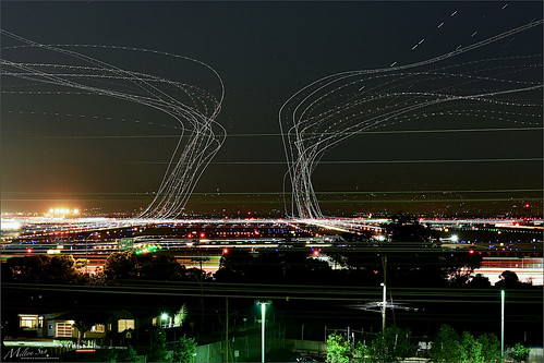
lighttrails sanfranciscointernationalairport millbrae sanfrancisco lowfog foginsf cityscape longexposure dusk seascape bay ngc bayarea wave ocean shore seaside coast california landscape outdoor clouds sky water nightphotography nightscene traffictrails
Flew into the Night Clouds
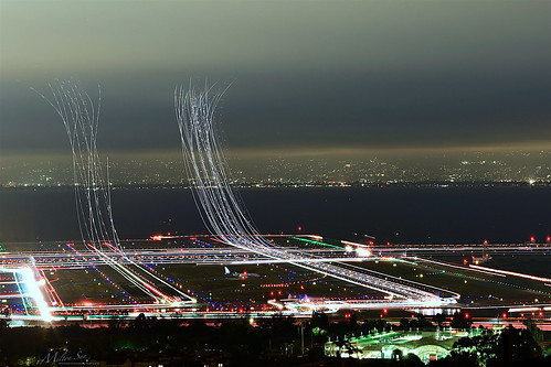
sfo longexposure dusk california sky evening nightphotography nightscene traffictrails traillights airplane aircraft house sanfranciscointernationalairport airport
SFO’s Saturday Night
trafficlighttrails lighttrails interstate280 route92 sanmateo lowfog foginsf longexposure dusk seascape bay ngc bayarea wave ocean shore seaside coast california landscape outdoor clouds sky mountain rollinghills evening sunset traffictrails summer
On Their Way Home
sanfranciscoskyline sealpoint sanmateo northerncalifornia sanfrancisco cityscape dusk seascape bay ngc bayarea wave ocean shore seaside coast california westcoast pacificocean landscape outdoor clouds sky water rock mountain rollinghills sea sand beach cliff architecture building baybridge
San Francisco Skyline in the Far Distance
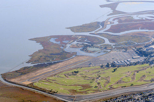
aerialphotograph nikkor nature paloaltoairport paloaltomunicipalgolfcourse duckpond baylandsnatureinterpretivecenter sanfranciscobay santaclaracounty sanmateocounty california eastpaloalto sanfrancisquitocreek paloalto aerial
Aerial view of Palo Alto Airport, Palo Alto Municipal Golf Course, the duck pond, the Baylands Nature Interpretive Center, and San Francisco Bay, Palo Alto, Santa Clara and San Mateo Counties, California.
sfo
Welcome back to San Francisco!
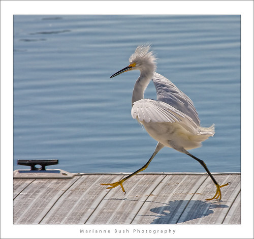
white bird interestingness bravo 11 explore egret strut snowyegret shorebird egrettathula naturesfinest 255 theintimidator specanimal impressedbeauty avianexcellence
Egret Strut
ON TOP OF THE WORLD
bw portrait alone incomplete seeing window view flickrfriday self
Do you see me?
rainbow bay sanfranciscobay plants omd olympus
Rainbow over SF Bay
sanfranciscointernationalairport sfo jet travel visit plane tickets airport vacation firstclass miles aviation corporate terminal runway landing takeoff approach tourism commute airtravel ksfo bayarea sanmateocounty fineart aerialview aerialphotographer blackandwhite helicopter commercial realestate signatureflightsupport logistics operations 94128 12297662992 sanfrancisco california unitedstates flight fly
San Francisco International Airport Aerial View
menlopark california usa bedwellbayfrontpark siliconvalley sanfranciscobay sanfranciscobayarea redwoodcity redwoodshores sanmateo sanmateobridge bridge house dusk goldenhour night outdoor water saltflat saltpond sony a6000 sel55210 1xp raw photomatix hdr qualityhdr qualityhdrphotography fav100
Waiting for darkness
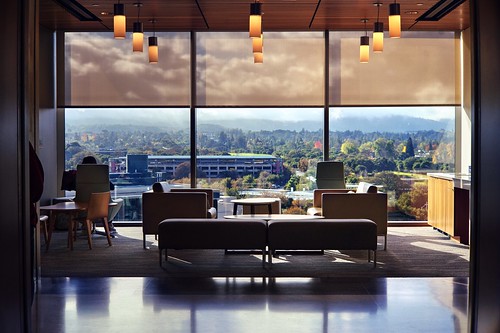
stanford paloalto california siliconvalley usa sanfranciscobay sanfranciscobayarea southbay stanfordhospital stanforduniversity architecture room waitingroom doctoroffice office indoor symmetry sony sonya7 a7 a7ii a7mii alpha7mii ilce7m2 fullframe vintagelens dreamlens canon50mmf095 canon 1xp raw photomatix hdr qualityhdr qualityhdrphotography fav100 hospital
New Stanford Hospital: $2 billion view
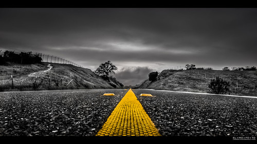
california road bw northerncalifornia yellow landscape fav50 stripe fav20 norcal asphalt fav30 median hdr highdynamicrange lonetree pf selectivecolor lowperspective goldenstate middleoftheroad 1000v fav10 fav100 tonemapping fav40 fav60 fav90 fav80 fav70 elmofoto lorenzomontezemolo forcurators
you're either shooting or you're dead v2.0 {+1 in comments}
oykbm staralliancelivery sas scandinavianairlines sfo sfooutdoorterrace sanfranciscosfo arrivals
OY-KBM
coyotehillsregionalpark fremont california ebparksok pelicantrail iphonese coyotehills
view from Pelican Trail
sealpoint sanmateo transmissiontowers dusk bay bayarea wave ocean shore seaside coast westcoast landscape outdoor clouds sky water sea sand beach evening sunset hills gittersteigen gittersteiger
Transmission Towers at Dusk
morning trees blackandwhite bw white mist black silhouette fog foggy bayarea onthewaytowork drivebyshooting bwdreams intooblivion reallyfoggy ysplix idisappear top20grey onlyhad5minutestogetsomequickshots cantresistfog sucksmein
folds of oblivion
northerncalifornia mural broadway sfbayarea redwoodcity sfpeninsula californa sanmateocounty canonef24105mmf4lisusm downtownredwoodcity canon5dmarkiii lightroom5 crouchingtigerrestaurant topazsw
Crouching Tiger
california park autumn sunset red sky orange usa lake reflection fall water clouds america fire afternoon burn fostercity memorialpark sanmateocounty naturesfinest platinumphoto colorphotoaward leojryan
Sun Burn
pier oysterpoint southsanfrancisco california bridge longexposure seascape bay ngc bayarea wave ocean shore seaside coast landscape outdoor clouds sky water rock sea sand beach
A Small Pier on the Bay
unitedairlines united n2142u n2138u boeing777 boeing777300 boeing777300er boeing777322er boeing 777 777300 777300er 777322er b77w ksfo sfo sanfranciscointernationalairport sanfranciscoairport sanfrancisco
Boeing 777-322/ER face off at SFO
ebparksok
Hayward Regional Shoreline
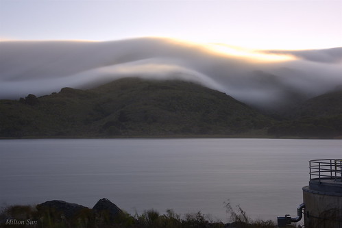
sanandreaslake sanbruno sanfrancisco lowfog longexposure bay ngc bayarea california westcoast sanmateocounty foginsf rollinghills landscape mountains clouds sky skyline nature
[Rolling...] at San Andreas Lake, San Bruno, CA
city bridge storm water rain clouds bay harbor san francisco power cloudy gray explore rainy rainstorm redwood pylons explored day29366 29jan16 366the2016edition 3662016 4b4a9329
29/2016 - The Redwood City Weather Forecast
spotting sfo plane aviation canon 5d
Delta Air Lines Boeing 717 N994AT
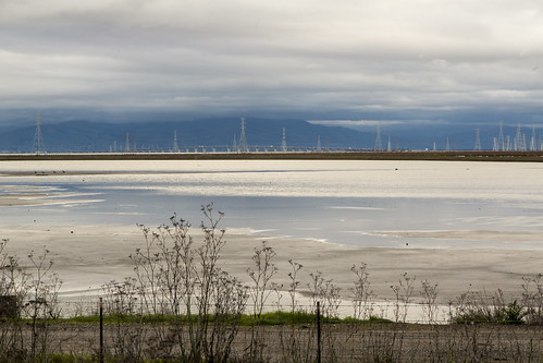
california coyotehillsregionalpreserve fremont pond unitedstates water clouds wetlands marsh landscape
Coyote Hills Regional Preserve
ca california cloud clouds cloudseastbay coyotehills eastbay eastbayregionalparks fremontca landscape marsh marshland sanfranciscobayarea water wildlife winter
Coyoto Hils Marsh No3
redwoodcity california unitedstates sanmateo sfbayarea sf nikon d800 nikond800 2470mm sunset landscape reservoir tree lonetree marsh wetland crystalsprings fog marinelayer coastalrange fav100 rakesh sharma fav200 fav300 fav400 fav500 fav600 fav700 fav800 fav900 fav1000 50000v
t r a c e s | san mateo, california
california trees orchard olives olivetrees californiacentralcoast filoligardens
Filoli Gardens California-Central-Coast 2015-03-30
spotting sfo sanfrancisco plane aviation canon
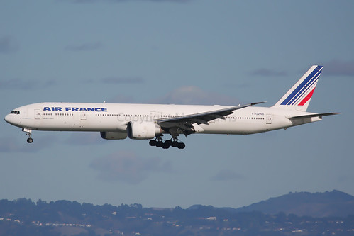
Air France Boeing 777-323(ER) F-GZNB
sf california ca sea orange usa water yellow sunrise landscape dawn bay us san francisco unitedstates tide low over calif mount diablo burlingame millbrae flickrstruereflection1 ilobsterit
Sunrise over Mount Diablo and San Francisco Bay - Millbrae California
green grass ricoh oval 2016 stanforduniversity grii
The Oval of Stanford University
bayarea bridge sanmateobridge california forestfire
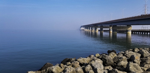
San Mateo, California: Bridge to Nowhere
Coyote Hills park, in Fremont California.
unitedairlines united airindia n87531 vtalf boeing737 boeing777 boeing737800 boeing777200 boeing737824 boeing777200lr boeing777237lr boeing 737 777 737800 777200 737824 777200lr 777237lr b738 b77l ksfo sfo sanfranciscointernationalairport sanfranciscoairport sanfrancisco
S F O
bird birds bravo quality wren marshwren cistothoruspalustris birdoftheday specnature specanimal
Marsh Wren
california mountainview sanfrancisco menlopark unitedstates us facebook usa architecture urban green nature panorama drone
Facebook Head Quarters
coming into DCA over the mighty Potomac!