Elevation of Fashion Island Blvd, San Mateo, CA, USA
Location: United States > California > San Mateo County > San Mateo > East San Mateo >
Longitude: -122.28745
Latitude: 37.5567464
Elevation: 3m / 10feet
Barometric Pressure: 101KPa
Elevation Map:
Satellite Map:
Related Photos:
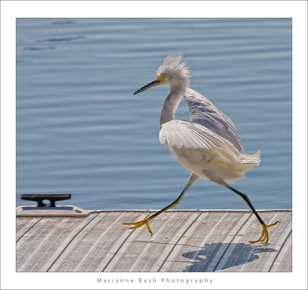
Egret Strut

sometimes you just need to wet your beak | atherton, ca
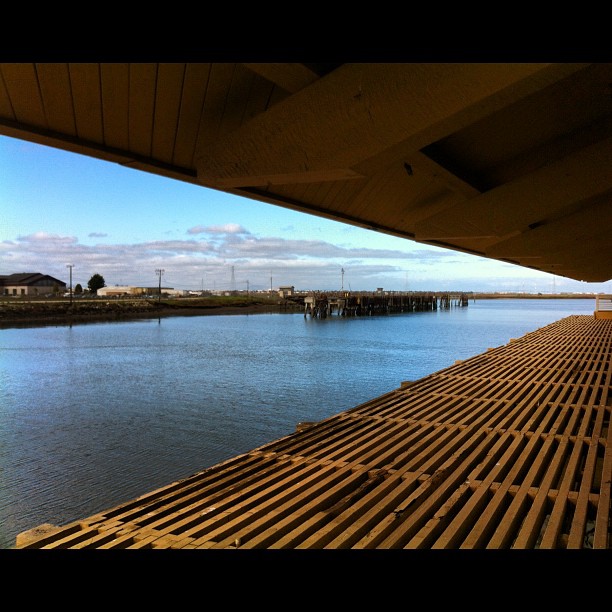
View from the training center.

It Pays to be a 'Morning Person'
St John's
the gatekeeper
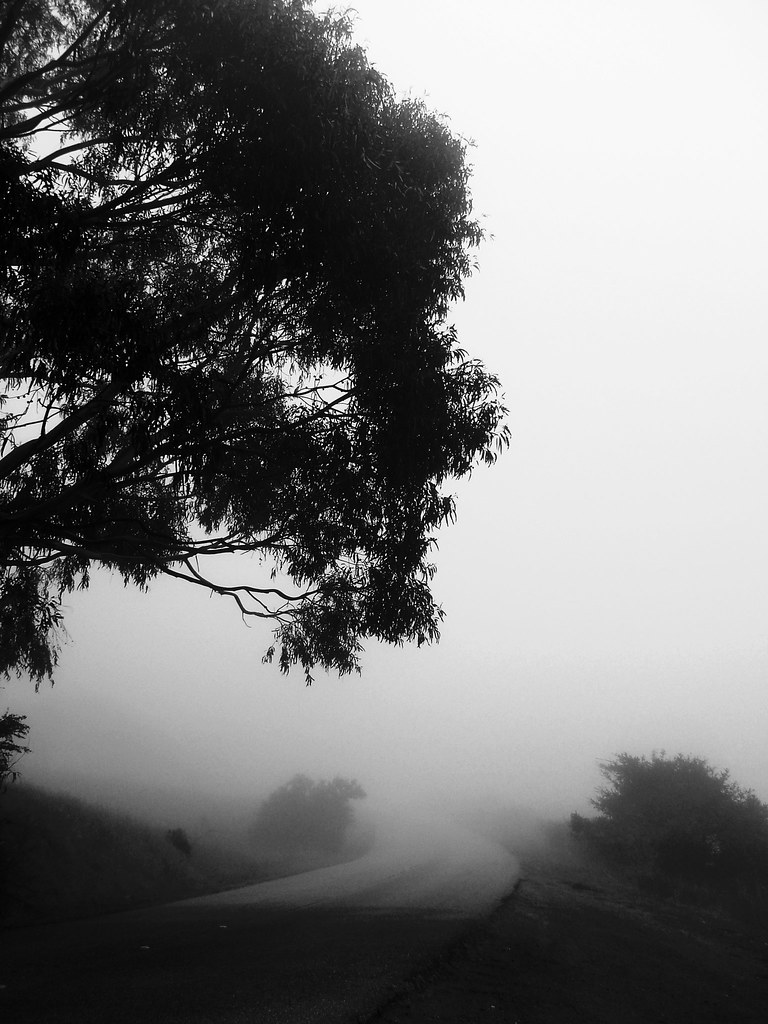
folds of oblivion
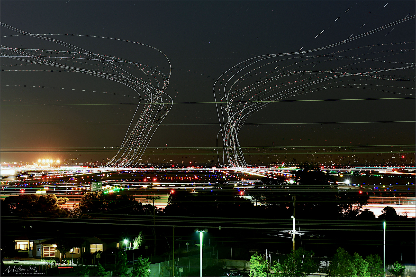
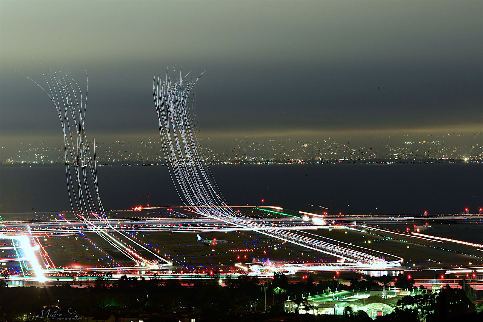
SFO’s Saturday Night
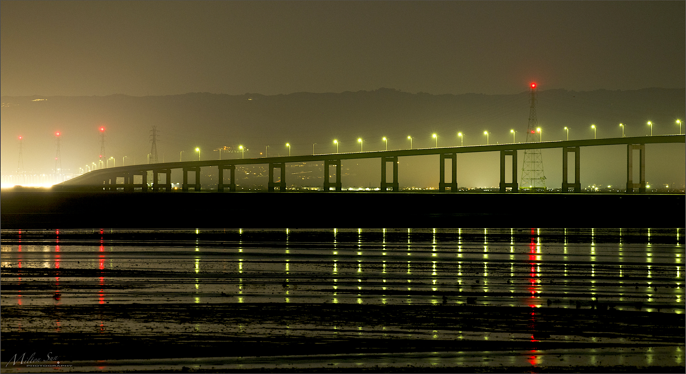
Night Bridge and Its Reflections
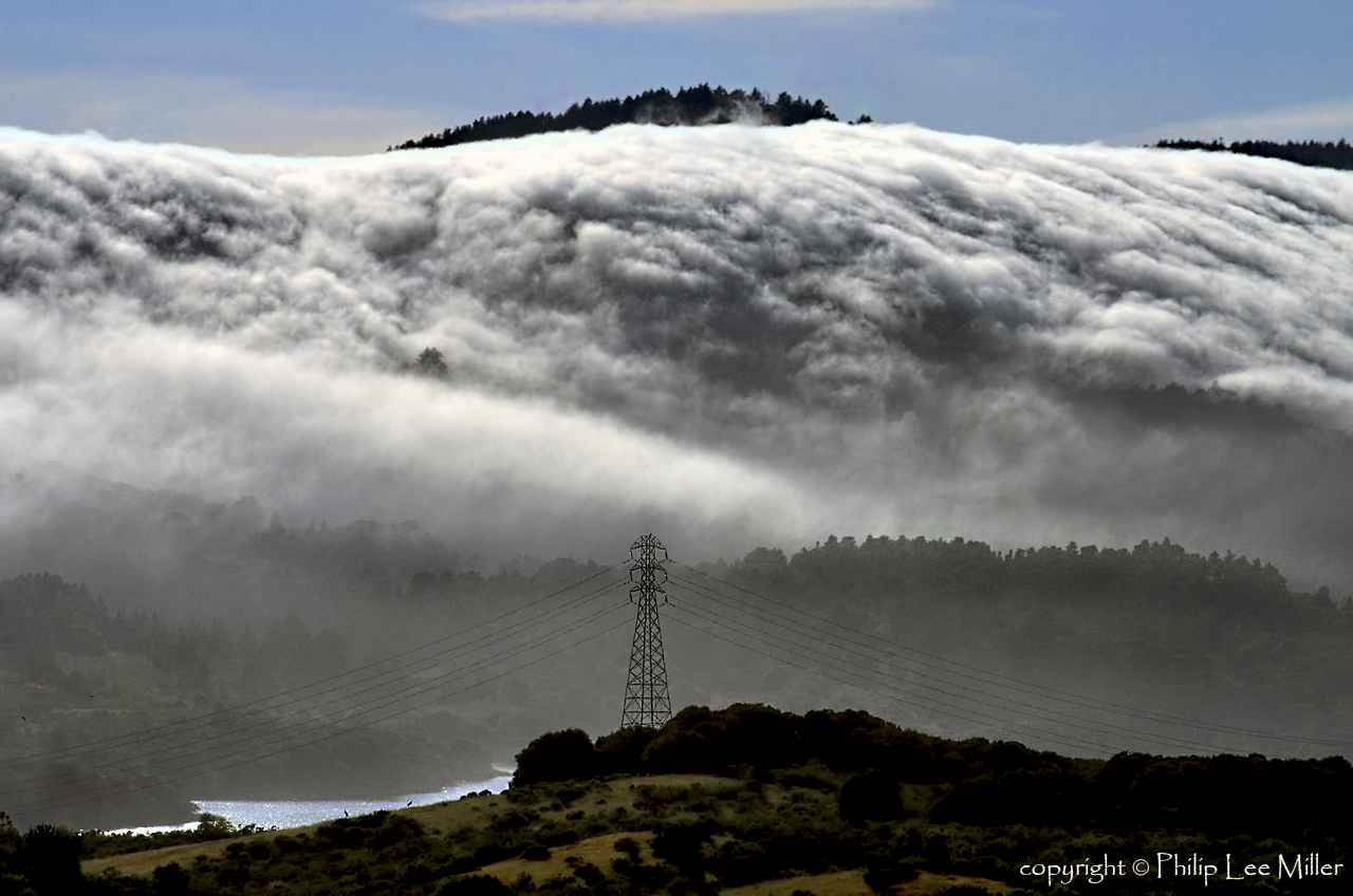
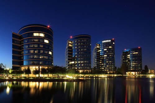
Power Meets Power

Selestial Orbit

The Feather Trees of Planet Skeggs
An unusual view of San Francisco
Blue distortion field
Flew into the Night Clouds
My new home station - Mountain View, CA
Shadows Glimmering

On Their Way Home

Pointing The Way???

the destination

turning your orbit around

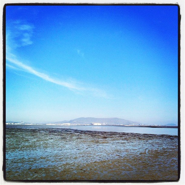
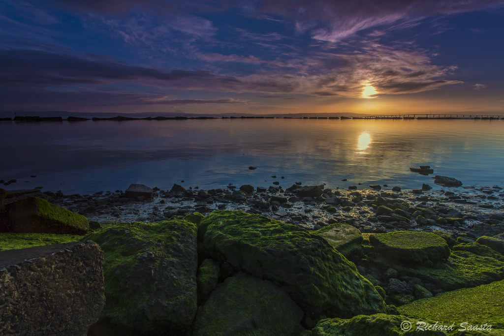
Sunrise over Mount Diablo and San Francisco Bay - Millbrae California
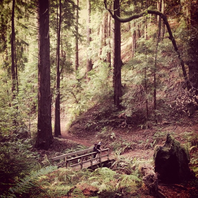
Purisima Creek

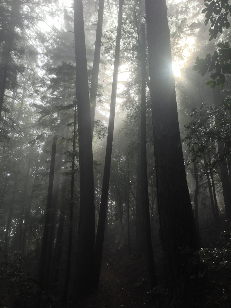
Driving back from Castle Rock the fog started to roll in and things got mystical near Phleger Estate.

Redwood Shores
Way better than the DMV...
Weathered Fences Make Good Neighbors (HFF)
Sun breaking through fog
home again!!!
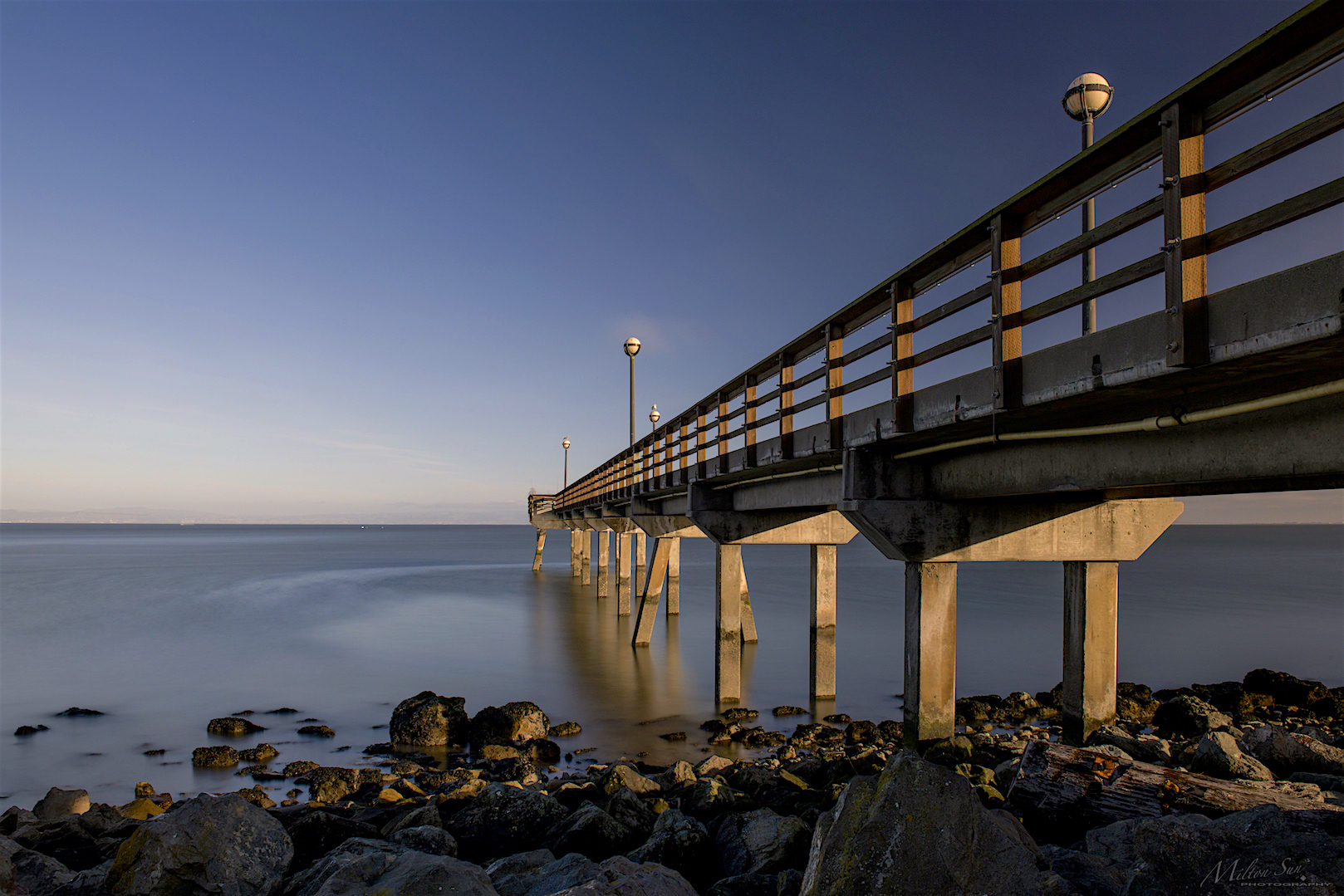
A Small Pier on the Bay
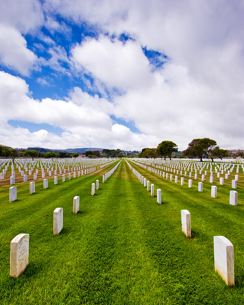
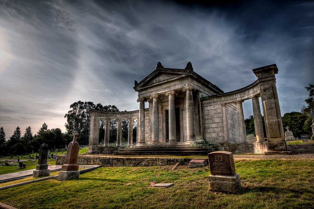
Golden Gate National Cemetary

Rolling In...
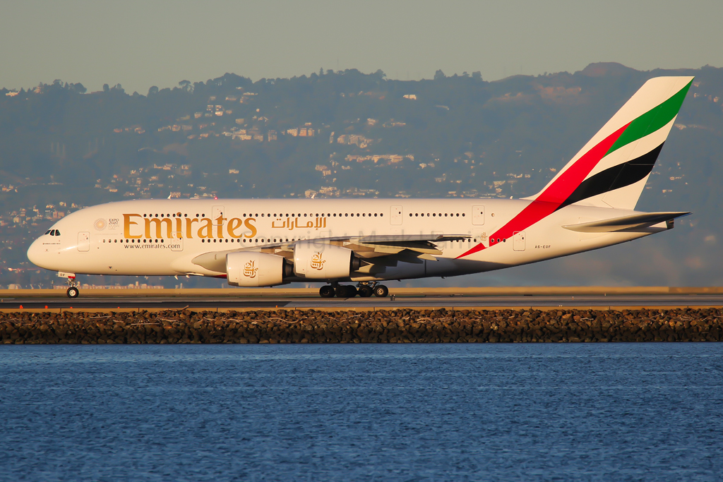
Emirates Airbus A380-861 A6-EOF
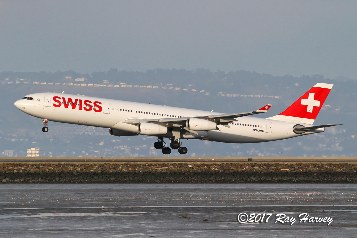
HB-JMH
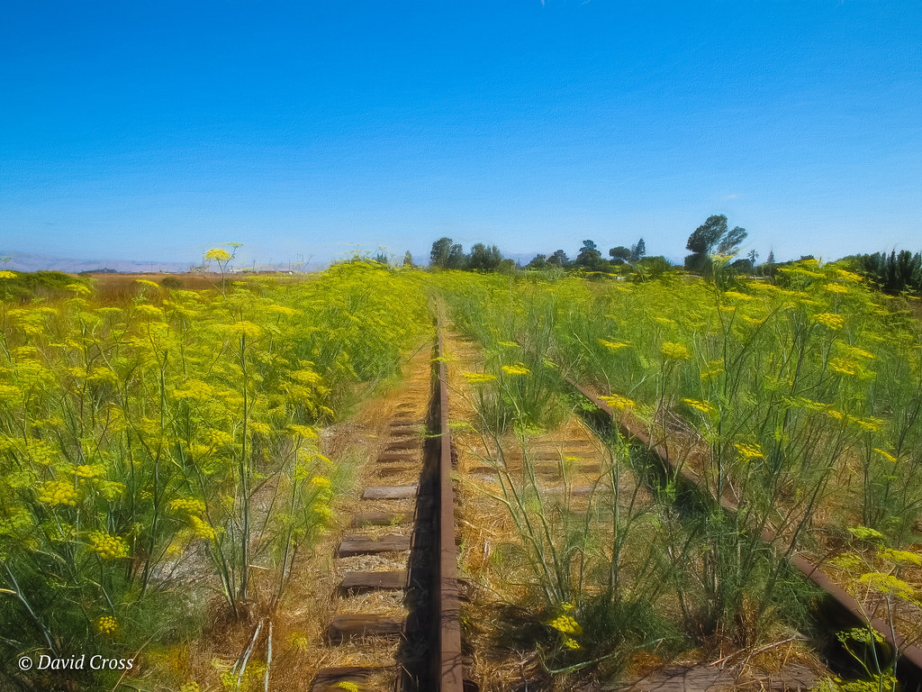
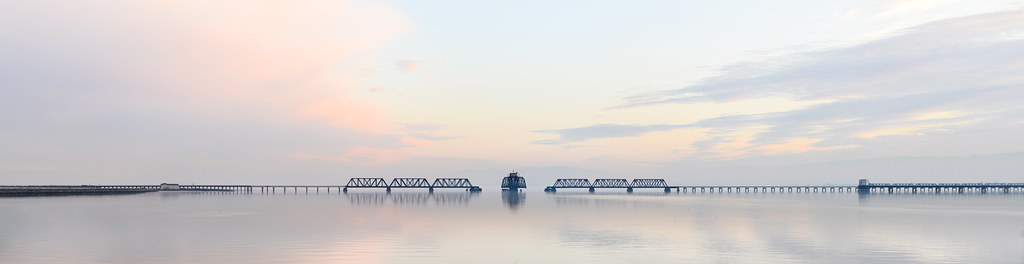
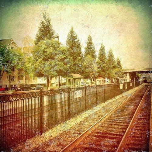
An Abandoned Rail Line
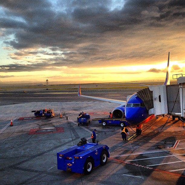
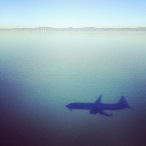
stop me if you seen this before #planestagram
Easter Morning Sunrise

fault line 2.0 | hdr panorama [explore]

Tribute to A-scape
Worth the 90-min, 45-degree climb uphill.
Topographic Map of Fashion Island Blvd, San Mateo, CA, USA
Find elevation by address:

Places near Fashion Island Blvd, San Mateo, CA, USA:
1400 Fashion Island Blvd
Mariners Island Boulevard
2523 Holland St
780 Sea Spray Ln
1775 Rex St
611 Altair Ave
Caltrans 101/92 Park & Ride Lot
East Hillsdale Boulevard
East Hillsdale Boulevard
Gilead Sciences, Inc.
157 Beach Park Blvd
2595 Church Ave
400 Mariners Island Blvd
232 Beach Park Blvd
Edgewater Park
Hillsdale
La Selva Street
Foster City
San Mateo, CA, USA
501 Cupertino Way
Recent Searches:
- Elevation of Corso Fratelli Cairoli, 35, Macerata MC, Italy
- Elevation of Tallevast Rd, Sarasota, FL, USA
- Elevation of 4th St E, Sonoma, CA, USA
- Elevation of Black Hollow Rd, Pennsdale, PA, USA
- Elevation of Oakland Ave, Williamsport, PA, USA
- Elevation of Pedrógão Grande, Portugal
- Elevation of Klee Dr, Martinsburg, WV, USA
- Elevation of Via Roma, Pieranica CR, Italy
- Elevation of Tavkvetili Mountain, Georgia
- Elevation of Hartfords Bluff Cir, Mt Pleasant, SC, USA