Elevation of School Road & Dover Road, School Rd & Dover Rd, Charleston, ME, USA
Location: United States > Maine > Penobscot County > Charleston >
Longitude: -69.078412
Latitude: 45.0805905
Elevation: 169m / 554feet
Barometric Pressure: 99KPa
Elevation Map:
Satellite Map:
Related Photos:

Autumn Leaves on Old Road
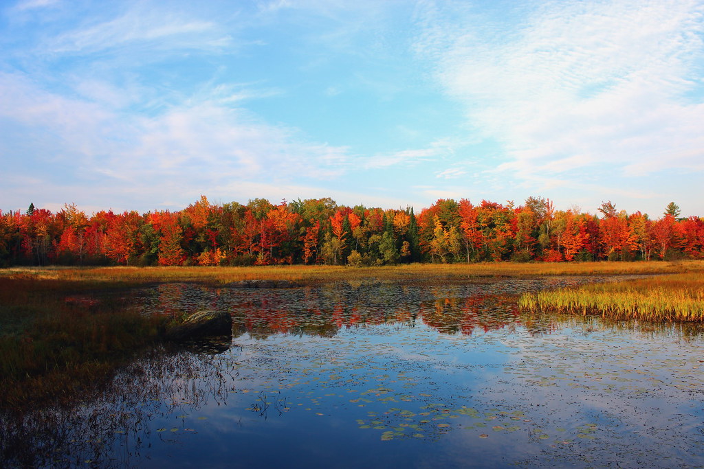
The swamp in Morning
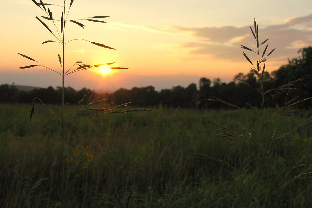
Graines de foins au soleil couchant
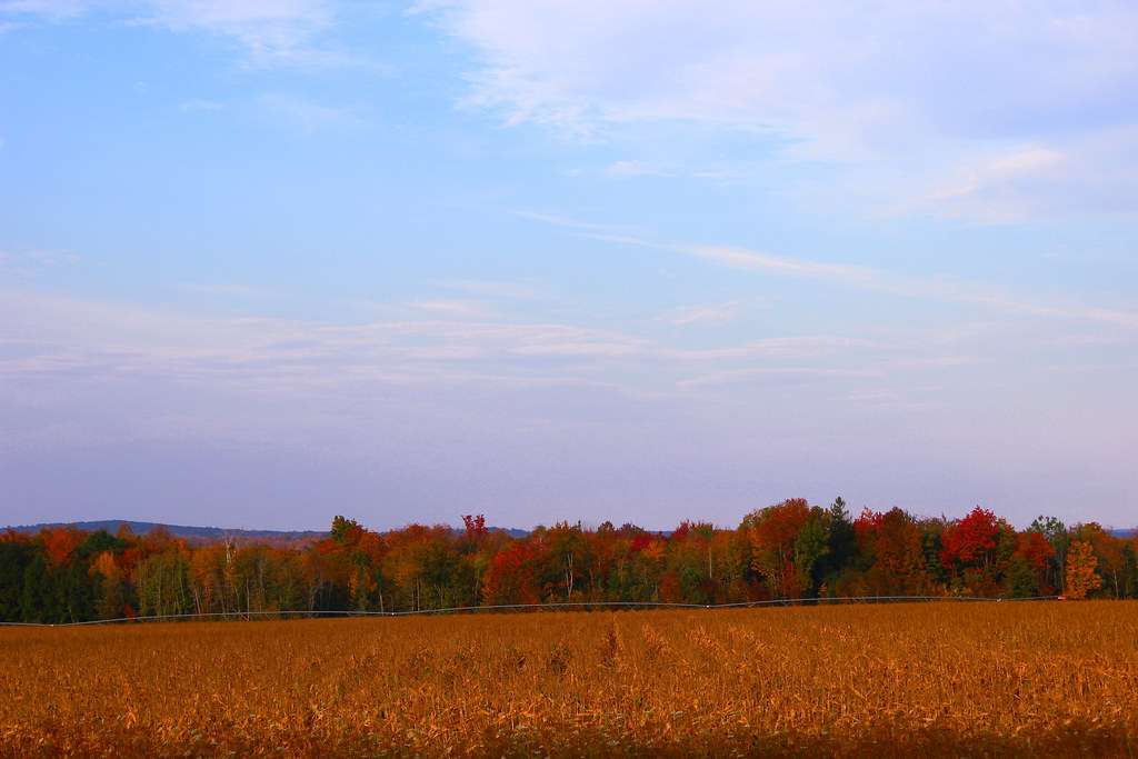
Corn Field in Fall

Blending in

Fall in Maine
Beau paysage

100 Mile Wilderness and Mt. Katahdin summit
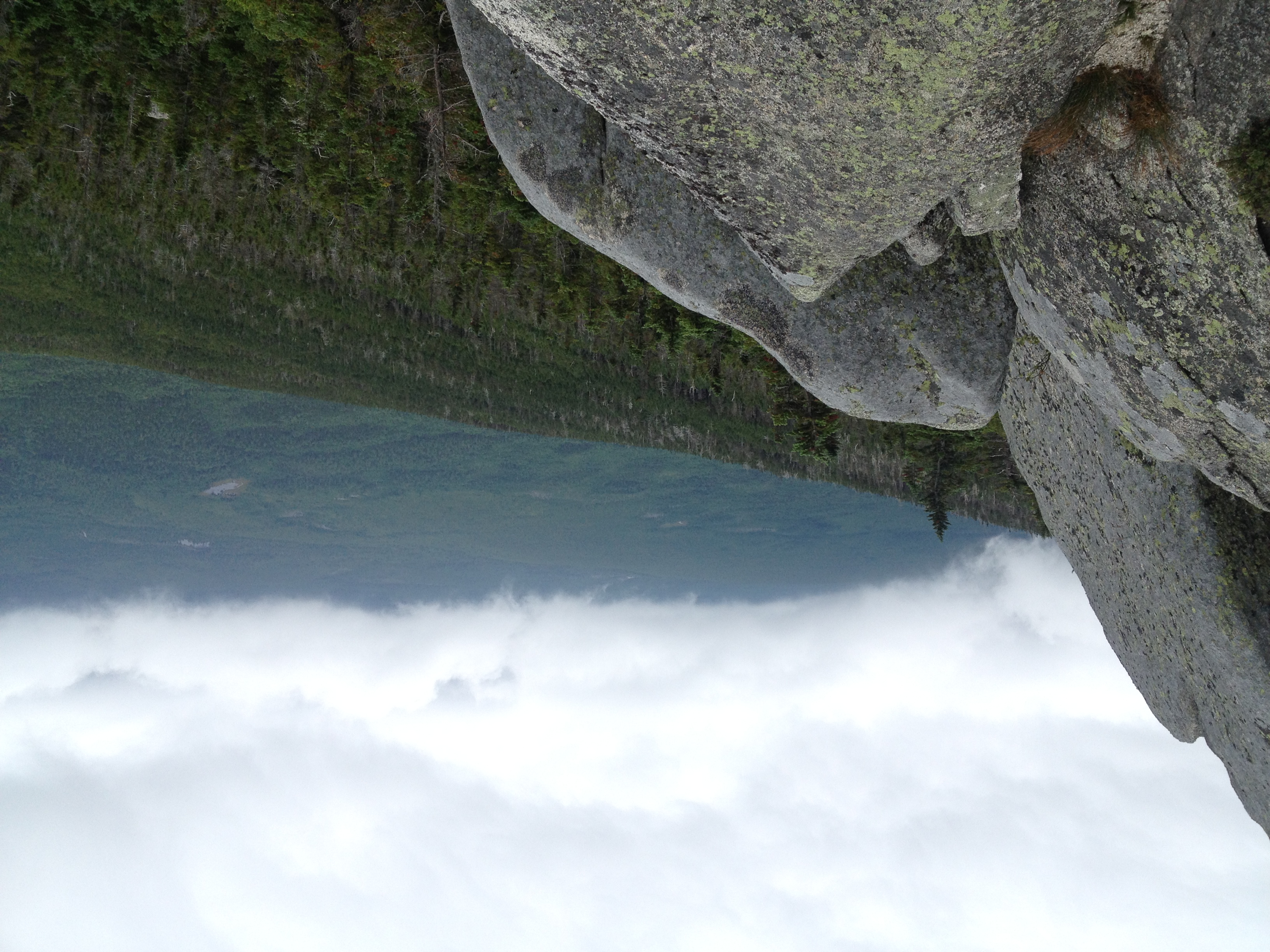
100 Mile Wilderness and Mt. Katahdin summit
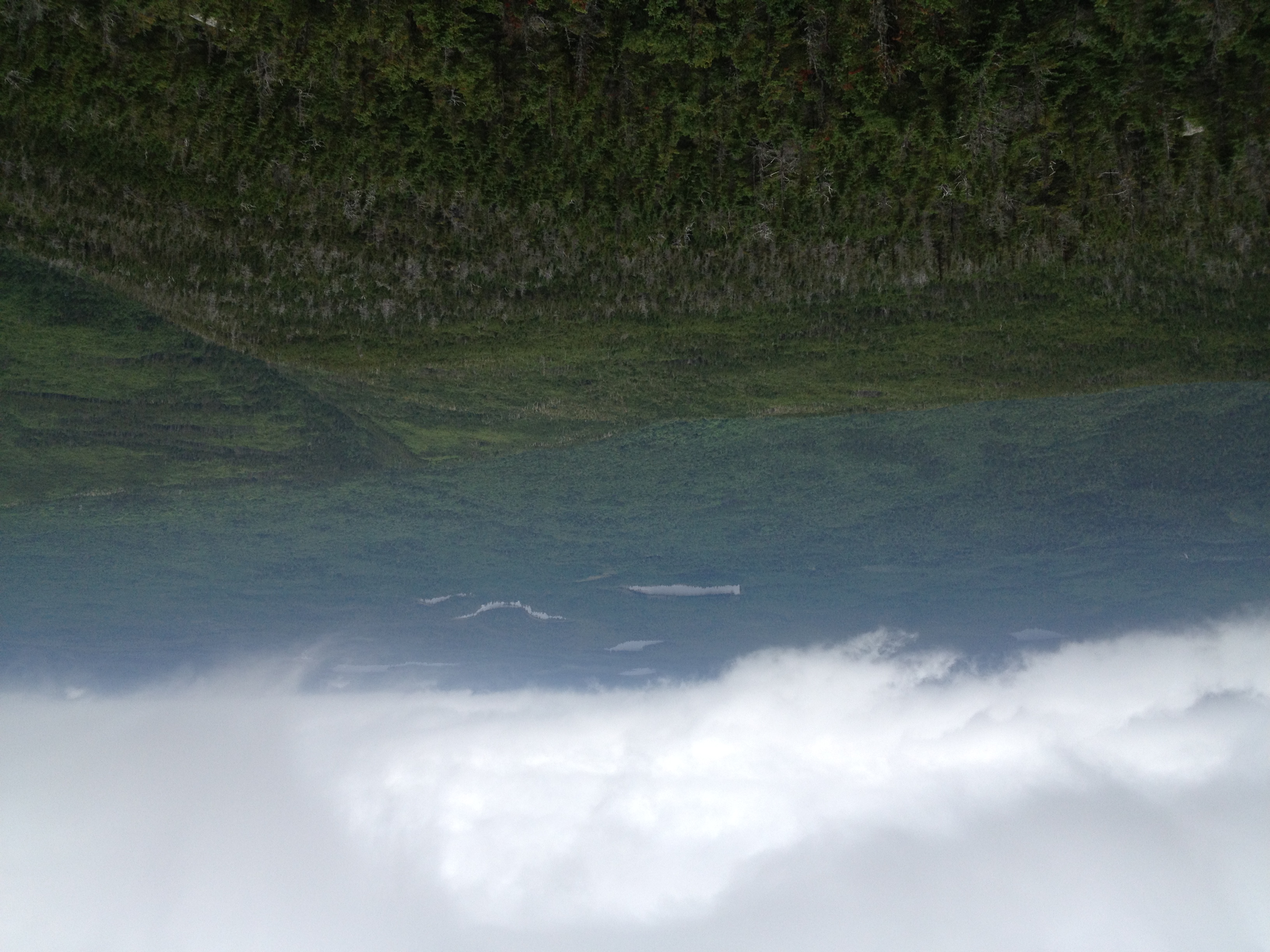
100 Mile Wilderness and Mt. Katahdin summit

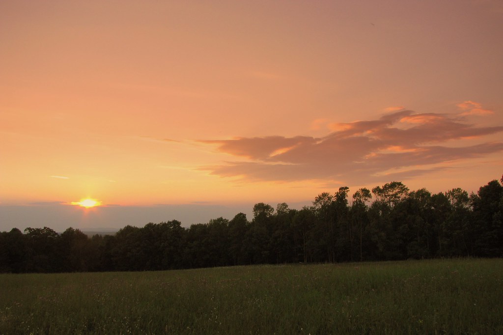
Psalm 19.1
Topographic Map of School Road & Dover Road, School Rd & Dover Rd, Charleston, ME, USA
Find elevation by address:

Places near School Road & Dover Road, School Rd & Dover Rd, Charleston, ME, USA:
Charleston Correctional Facility
84 Bunker Rd
84 Bunker Rd
Charleston
16 Corinth Rd, Garland, ME, USA
Garland
30 Morison Ave
112 Exeter Rd
366 Maple Rd
Atkinson
734 E Dover Rd
673 Milo Rd
32 Austin Rd, Sebec, ME, USA
Southeast Piscataquis
Sangerville Line Rd, Dover-Foxcroft, ME, USA
North Road
482 Essex St
Southeast Piscataquis
91 Wing Rd, Dexter, ME, USA
Dover-foxcroft
Recent Searches:
- Elevation of Corso Fratelli Cairoli, 35, Macerata MC, Italy
- Elevation of Tallevast Rd, Sarasota, FL, USA
- Elevation of 4th St E, Sonoma, CA, USA
- Elevation of Black Hollow Rd, Pennsdale, PA, USA
- Elevation of Oakland Ave, Williamsport, PA, USA
- Elevation of Pedrógão Grande, Portugal
- Elevation of Klee Dr, Martinsburg, WV, USA
- Elevation of Via Roma, Pieranica CR, Italy
- Elevation of Tavkvetili Mountain, Georgia
- Elevation of Hartfords Bluff Cir, Mt Pleasant, SC, USA