Elevation of Exeter Rd, Corinth, ME, USA
Location: United States > Maine > Penobscot County > Corinth >
Longitude: -69.024078
Latitude: 45.0028062
Elevation: 92m / 302feet
Barometric Pressure: 100KPa
Elevation Map:
Satellite Map:
Related Photos:

Tis' the Season...

Morning Dew

Tree Frog

Ice covered wooden fence

Tree Frog

Black Stream, Maine, snow covered trees

Ice storm

Treworgy Farms Maine

Bangor Maine Maternity Photos - Winter Maternity

Maine Ice storm

Ice storm

Horses in the winter

Colorful Sunset

Fall in Maine

The swamp in Morning

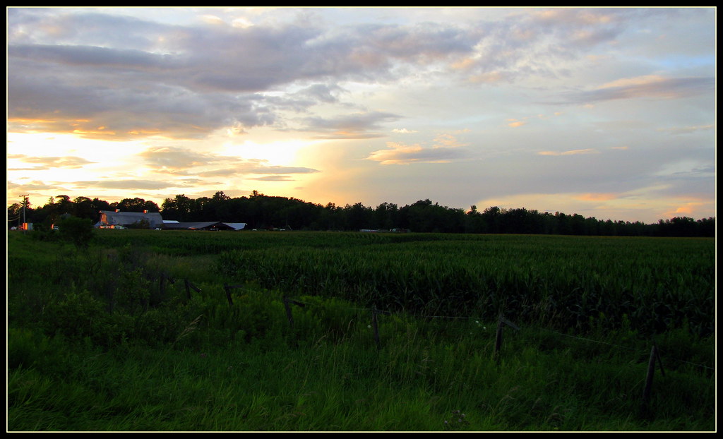
Corn Field in Fall

Blending in

Pure Purple
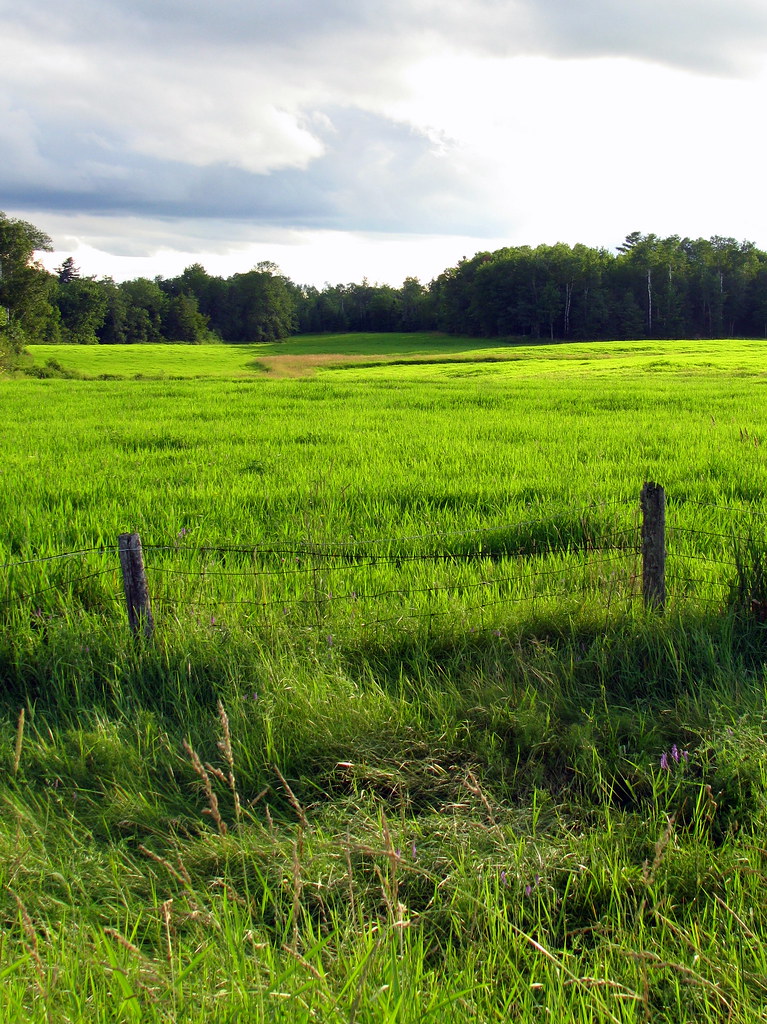
Kenduskeag, Maine farm

Champ de foin du voisin - Kenduskeag, Maine
Psaume 23 - De verts parturages
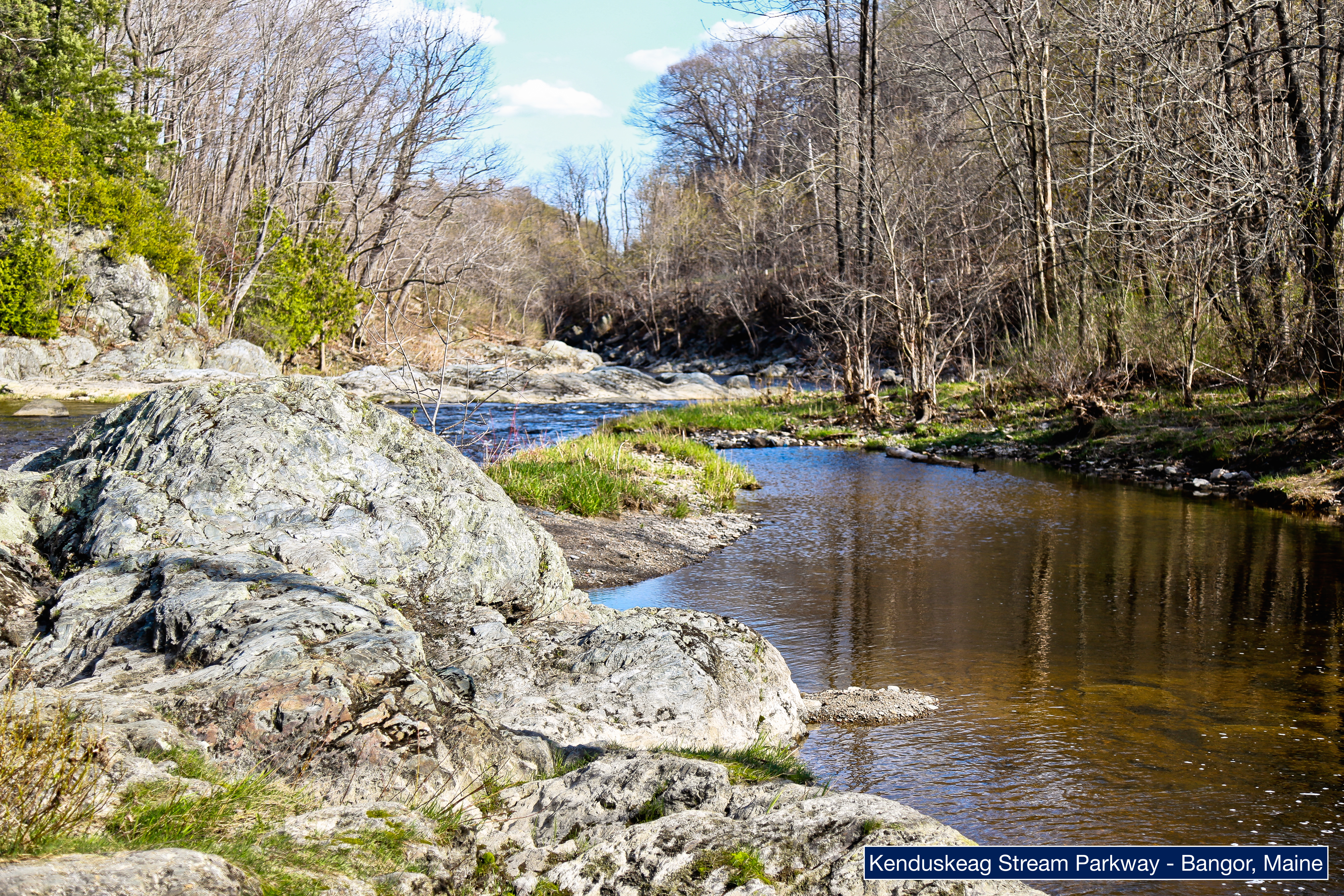
Kenduskeag Stream Parkway
Topographic Map of Exeter Rd, Corinth, ME, USA
Find elevation by address:

Places near Exeter Rd, Corinth, ME, USA:
30 Morison Ave
84 Bunker Rd
84 Bunker Rd
Charleston
School Road & Dover Road
Charleston Correctional Facility
16 Corinth Rd, Garland, ME, USA
Garland
366 Maple Rd
Southeast Piscataquis
Atkinson
Southeast Piscataquis
734 E Dover Rd
91 Wing Rd, Dexter, ME, USA
Lyford Road
Echo Lake
673 Milo Rd
32 Austin Rd, Sebec, ME, USA
Sangerville Line Rd, Dover-Foxcroft, ME, USA
Milo
Recent Searches:
- Elevation of Corso Fratelli Cairoli, 35, Macerata MC, Italy
- Elevation of Tallevast Rd, Sarasota, FL, USA
- Elevation of 4th St E, Sonoma, CA, USA
- Elevation of Black Hollow Rd, Pennsdale, PA, USA
- Elevation of Oakland Ave, Williamsport, PA, USA
- Elevation of Pedrógão Grande, Portugal
- Elevation of Klee Dr, Martinsburg, WV, USA
- Elevation of Via Roma, Pieranica CR, Italy
- Elevation of Tavkvetili Mountain, Georgia
- Elevation of Hartfords Bluff Cir, Mt Pleasant, SC, USA