Latitude: 47.455183
Longitude: -104.345696
Elevation: 604 meters / 1982 feet
Barometric Pressure 943KPa

Related Photos

Autumn colors along the Yellowstone by VFR Photography, October autumn color from the Yellowstone River valley near Savage, Montana (10-9-2014).  autumn tre
Autumn colors along the Yellowstone by VFR Photography
Savage, Montana  59262 by Postmarks from Montana, Richland County.  View of the Savage post office building in 1993.  Along the Yellowstone River sout
Savage, Montana 59262 by Postmarks from Montana
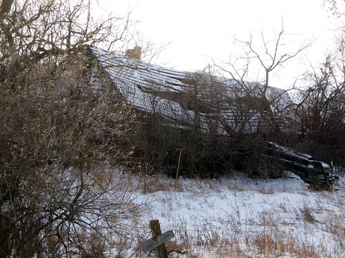
Gossett, Montana by Postmarks from Montana, Richland County.  A crumbling old building along Richland County 350, near the site of Gossett.  On
Gossett, Montana by Postmarks from Montana
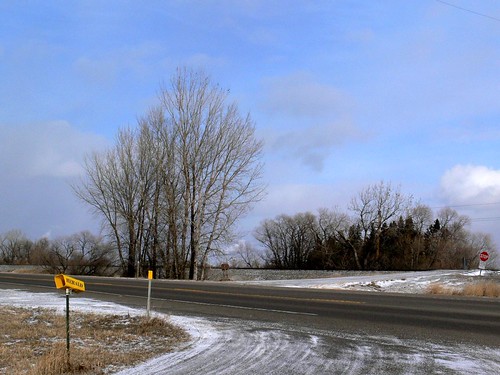
Newlon, Montana by Postmarks from Montana, Richland County.  View of the junction of Highway 16 and county road 120 near the former site of New
Newlon, Montana by Postmarks from Montana
Smith Creek, Montana by Postmarks from Montana, Wibaux County.  In the northern part of the county, not far from the North Dakota state line, Smith
Smith Creek, Montana by Postmarks from Montana
Savage, Montana  59262 by Postmarks from Montana, Richland County.  View of the Savage post office building in 2008.  Along the Yellowstone River sout
Savage, Montana 59262 by Postmarks from Montana
Newlon, Montana by Postmarks from Montana, Richland County.  View of the Eagle RV Park sign along  Highway 16 near the former site of Newlon, a
Newlon, Montana by Postmarks from Montana
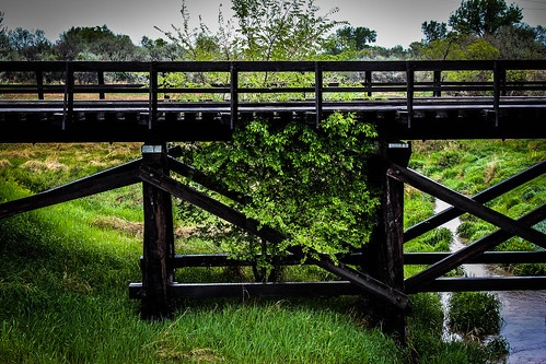
Think Inside the Box by Skullniverous, A Tree Growing up through an old Abandoned Railroad Bridgerailroad bridge tree creek train landscape
Think Inside the Box by Skullniverous