Elevation map of Richland County, MT, USA
Location: United States > Montana >
Longitude: -104.80174
Latitude: 47.9200496
Elevation: 723m / 2372feet
Barometric Pressure: 93KPa
Elevation Map:
Satellite Map:
Related Photos:

DSC_0118
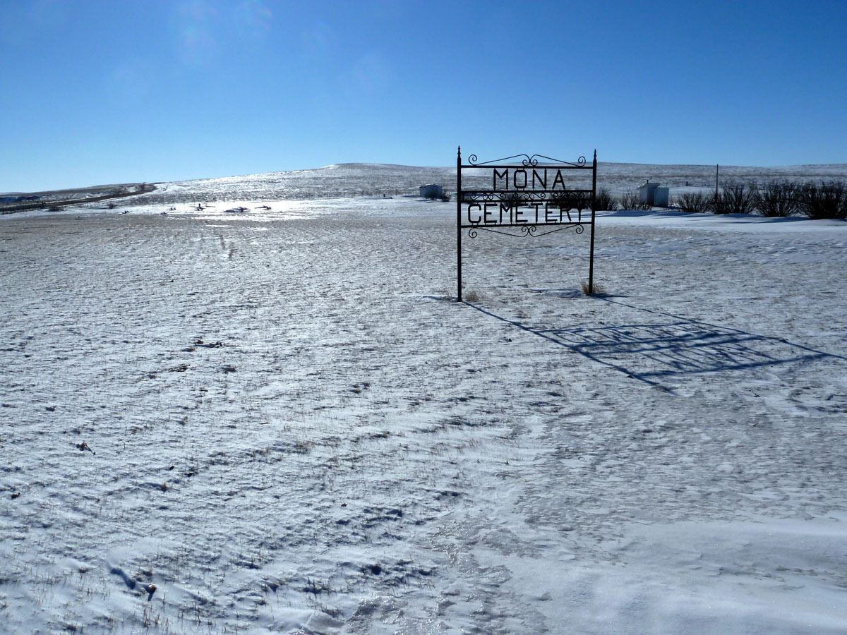
Mona, Montana

Elmdale, Montana
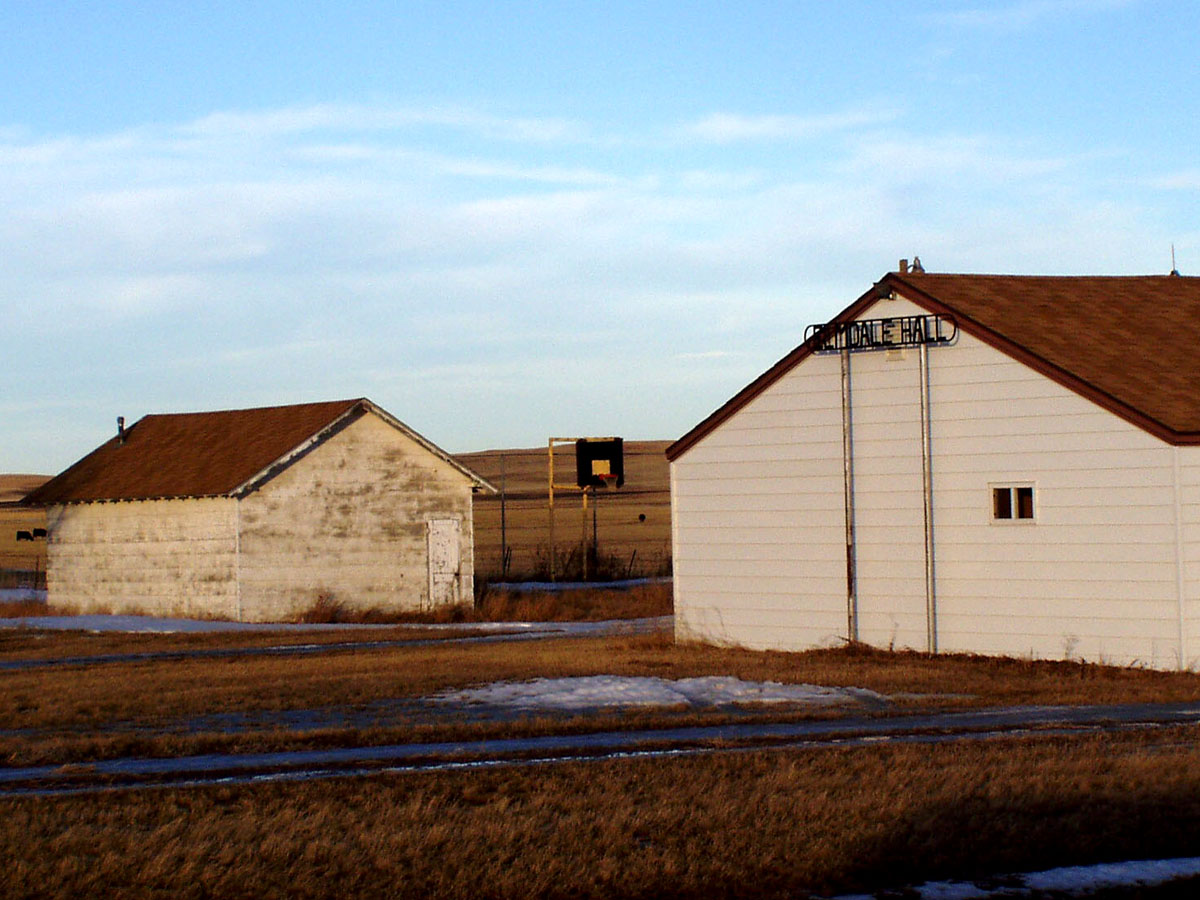
Elmdale, Montana
Topographic Map of Richland County, MT, USA
Find elevation by address:

Places in Richland County, MT, USA:
Places near Richland County, MT, USA:
Roosevelt County
Froid
Park St, Froid, MT, USA
514 Sheep Creek Rd
Sheridan County
Plentywood
Brush Lake
Dagmar
12 Main St, Flaxville, MT, USA
Flaxville
Outlook
101 Syme Ln
Minton
21 1 Ave, Minton, SK S0C 1T0, Canada
Lake Alma No. 8
Recent Searches:
- Elevation of Corso Fratelli Cairoli, 35, Macerata MC, Italy
- Elevation of Tallevast Rd, Sarasota, FL, USA
- Elevation of 4th St E, Sonoma, CA, USA
- Elevation of Black Hollow Rd, Pennsdale, PA, USA
- Elevation of Oakland Ave, Williamsport, PA, USA
- Elevation of Pedrógão Grande, Portugal
- Elevation of Klee Dr, Martinsburg, WV, USA
- Elevation of Via Roma, Pieranica CR, Italy
- Elevation of Tavkvetili Mountain, Georgia
- Elevation of Hartfords Bluff Cir, Mt Pleasant, SC, USA