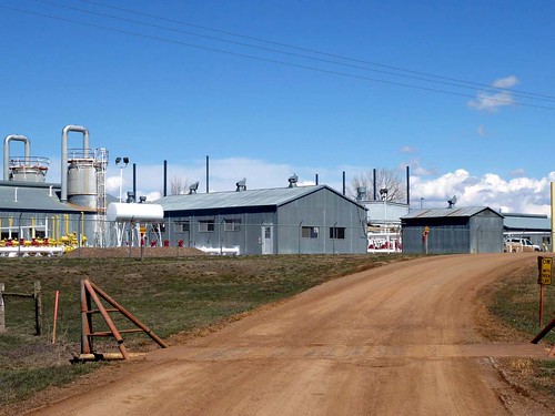
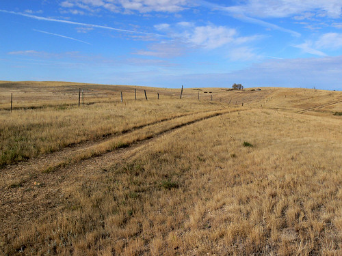
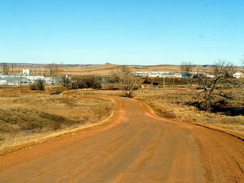
Elevation of Cabin Creek, MT, USA
Location: United States > Montana > Baker >
Longitude: -104.42161
Latitude: 46.6133419
Elevation: 818m / 2684feet
Barometric Pressure: 92KPa
Related Photos:
Topographic Map of Cabin Creek, MT, USA
Find elevation by address:

Places near Cabin Creek, MT, USA:
Wibaux County
Carlyle
Wibaux
Glendive
406 Poplar Ave
Glendive, MT, USA
Dawson County
3rd Ave N, Savage, MT, USA
Savage
Rd, Bloomfield, MT, USA
Terry
Bloomfield
Prairie County
Lambert
Riverview
1012 4th Ave Se
Sidney High School
Sidney
MT-, Fairview, MT, USA
Recent Searches:
- Elevation of Corso Fratelli Cairoli, 35, Macerata MC, Italy
- Elevation of Tallevast Rd, Sarasota, FL, USA
- Elevation of 4th St E, Sonoma, CA, USA
- Elevation of Black Hollow Rd, Pennsdale, PA, USA
- Elevation of Oakland Ave, Williamsport, PA, USA
- Elevation of Pedrógão Grande, Portugal
- Elevation of Klee Dr, Martinsburg, WV, USA
- Elevation of Via Roma, Pieranica CR, Italy
- Elevation of Tavkvetili Mountain, Georgia
- Elevation of Hartfords Bluff Cir, Mt Pleasant, SC, USA


