Elevation of Poplar Ave, Glendive, MT, USA

Location: United States > Montana > Dawson County > Glendive >

Longitude: -104.75756

Latitude: 47.1070082

Elevation: 647m / 2123feet

Barometric Pressure: 94KPa

Elevation Map:

elevation map of Poplar Ave, Glendive, MT, USA

Satellite Map:

Satellite map of Poplar Ave, Glendive, MT, USA

Related Photos:

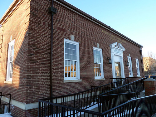
montana postoffice glendive dawsoncounty
Glendive, Montana 59330
dawsoncounty glendive makoshika makoshikastatepark montana radiotower valleyview valleyviewlooproad antenna caution communicationstower danger highvoltage microwave microwavetower radiofrequency warning warningsign warningsigns unitedstates us
Radio Tower - Makoshika State Park, Glendive, Montana
makoshikastatepark montana valleyviewlooproad dry ground glendive unitedstates us
Makoshika Ground
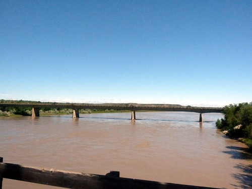
vacation usa montana mt tour yellowstoneriver 2010 glendive bellstreetbridge
336 Montana, Glendive, Bell Street Bridge, View Of New Bridge
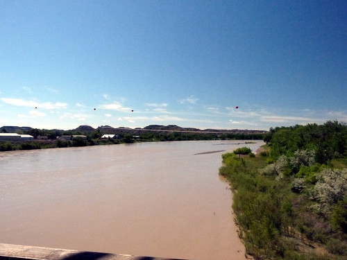
vacation usa montana mt tour yellowstoneriver 2010 glendive bellstreetbridge
338 Montana, Glendive, Bell Street Bridge, View Of Yellowstone River Downstream
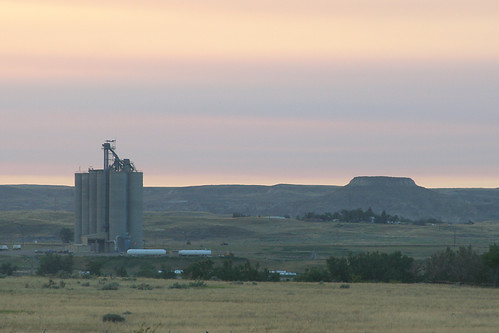
sunset montana mesa grainelevator glendive
day3-25
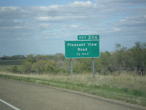
sign montana intersection i94 dawsoncounty biggreensign freewayjunction
I-94 East - Exit 206
sunset montana glendive
day3-24
makoshikastatepark montana glendive unitedstates
Makoshika State Park
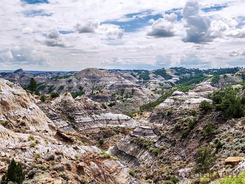
trees sky cloud clouds landscape landscapes montana skies mt scenic sage erosion vista badlands vistas yucca 1953 glendive lakota dawsoncounty makoshikastatepark cretaceousperiod yellowstonerivervalley pondorosapine rockymountainjuniper hellcreekformation realmontanarealclose fortunionformation dinosaurfossilhotspot macosica
Land of bad spirits
trees sky cloud clouds landscape landscapes montana skies mt scenic sage erosion vista badlands vistas yucca 1953 glendive lakota dawsoncounty makoshikastatepark cretaceousperiod yellowstonerivervalley pondorosapine rockymountainjuniper hellcreekformation realmontanarealclose fortunionformation dinosaurfossilhotspot macosica
Natural playground
trees sky cloud clouds landscape landscapes montana skies mt scenic sage erosion vista badlands vistas yucca 1953 glendive lakota dawsoncounty makoshikastatepark cretaceousperiod yellowstonerivervalley pondorosapine rockymountainjuniper hellcreekformation realmontanarealclose fortunionformation dinosaurfossilhotspot macosica
This, too, is Big Sky Country
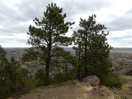
makoshikastatepark glendive montana pinusponderosascopulorum pinaceae native tree ponderosapine pinusponderosa
Pinus scopulorum, east slope Ponderosa pine
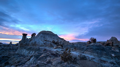
sunset rock montana purple
Makoshika State Park Sunset
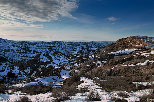
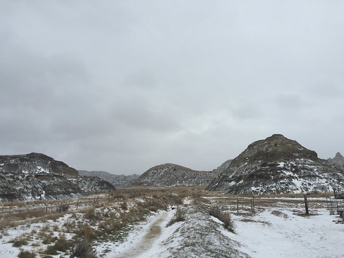
winter badlands makoshika state park glendive dawson county montana evening sunset united states usa america
Caprock Valley
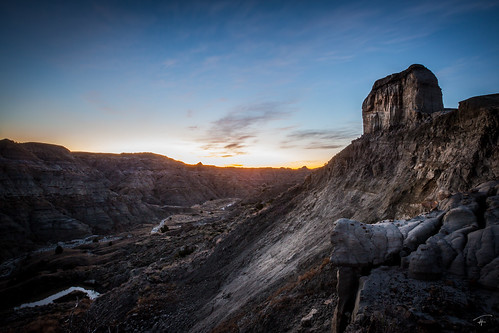
park morning wild sky west night dark stars landscape early montana state galaxy darksky milkyway makoshika semontana visitmontana montanamoment thisismontana
Makoshika Morning
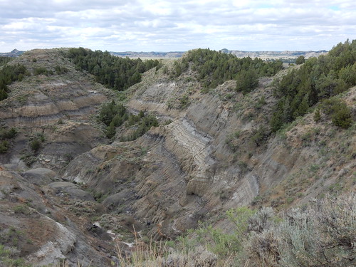
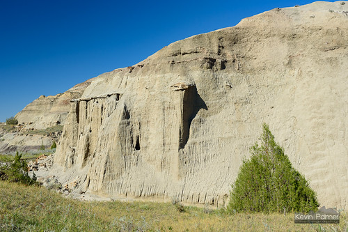
montana fall autumn october nikond750 tamron2470mmf28 makoshikastatepark badlands clear sunny sky blue tree dianegabrieltrail glendive
Eroded Wall
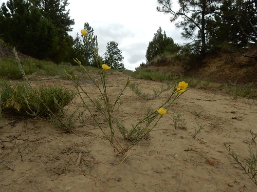
makoshikastatepark glendive montana linumrigidum native annual perennial herb linaceae
Linum rigidum
xmap
Montana vs. Verizon
montana fall autumn october nikond750 tamron2470mmf28 makoshikastatepark badlands clear sunny sky blue caprocktrail glendive
Caprock Trail
glendive makoshika makoshikastatepark montana radiohill radiohillroad statepark viewpoint unitedstates us
Makoshika State Park - Montana
Glendive, MT
Glendive, MT
glendive hdr makoshika makoshikastatepark montana mountains statepark unitedstates us
Makoshika State Park Sky
makoshikastatepark glendive montana pinusponderosascopulorum pinaceae native tree ponderosapine pinusponderosa
Pinus scopulorum, east slope Ponderosa pine
Glendive, MT
makoshikastatepark glendive montana linumrigidum native annual perennial herb linaceae
Linum rigidum
Glendive, MT