Elevation of Salem, NY, USA
Location: United States > New York > Washington County > Salem >
Longitude: -73.327610
Latitude: 43.1722983
Elevation: 147m / 482feet
Barometric Pressure: 100KPa
Elevation Map:
Satellite Map:
Related Photos:
The Front
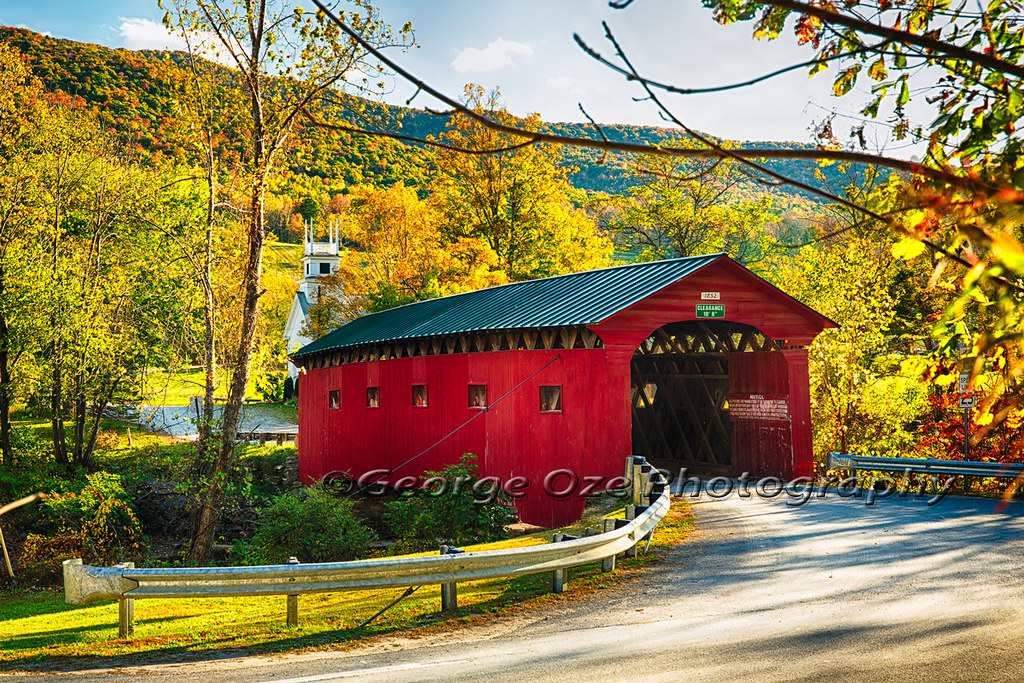
Red Covered Bridge and a Church, Vermont
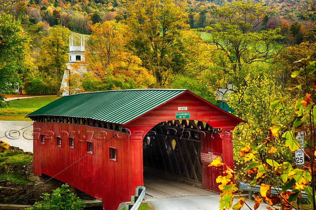
Scenic Covered Bridge of West Arlington

Covered Bridge Fall Scenic, West Arlington, Vermont
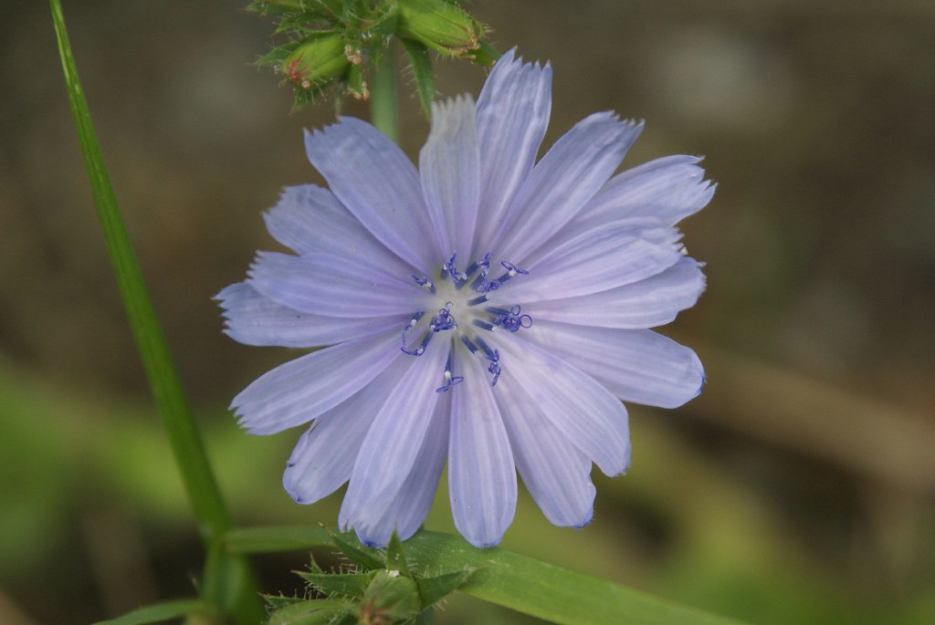
curly-cue stamens

West Arlington Church and Covered Bridge Vermont
Cambridge, NY

View out the back, Barn 2 Gallery

Norman Rockwell Home through West Arlington Covered Bridge Vermont
Ah Summer

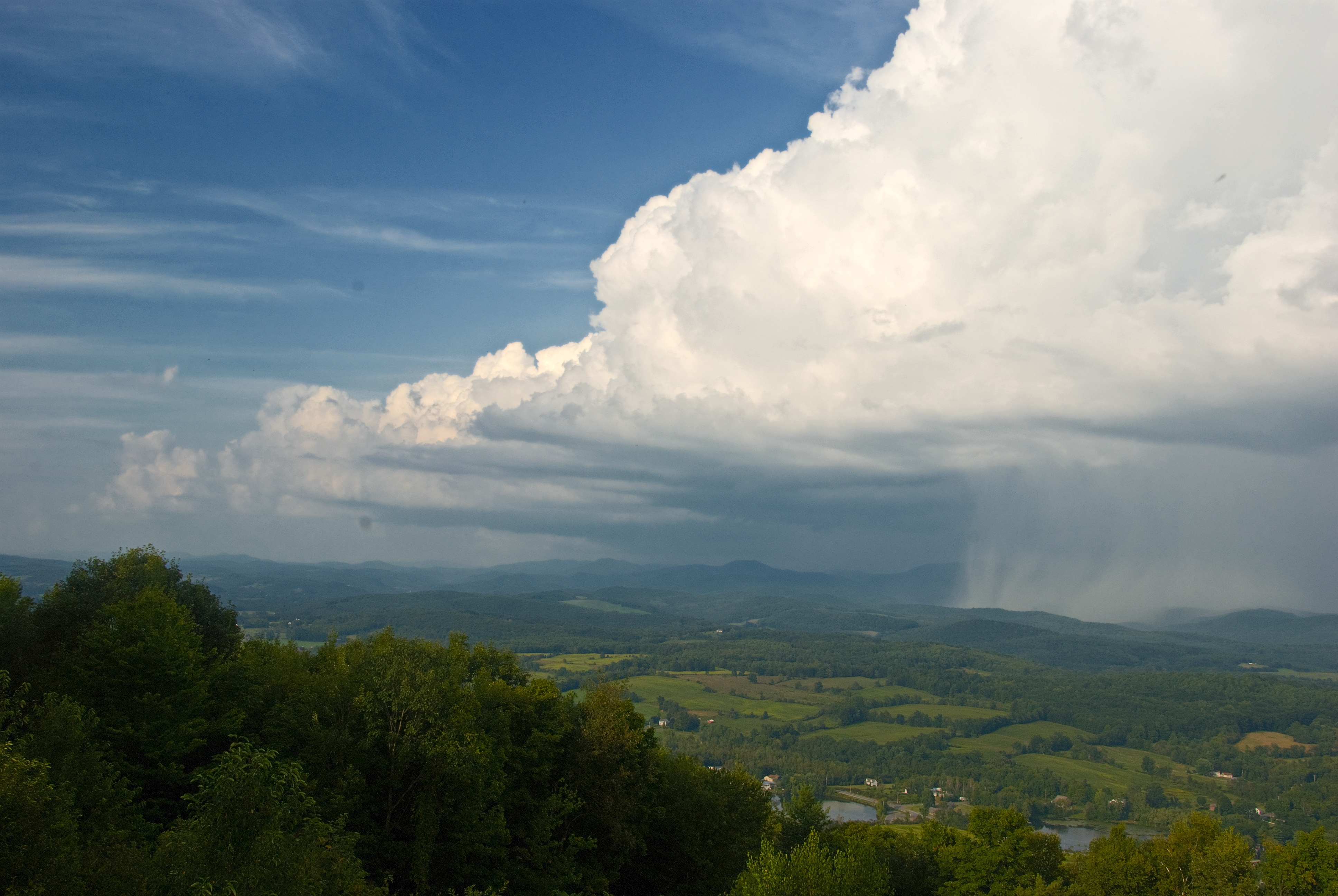
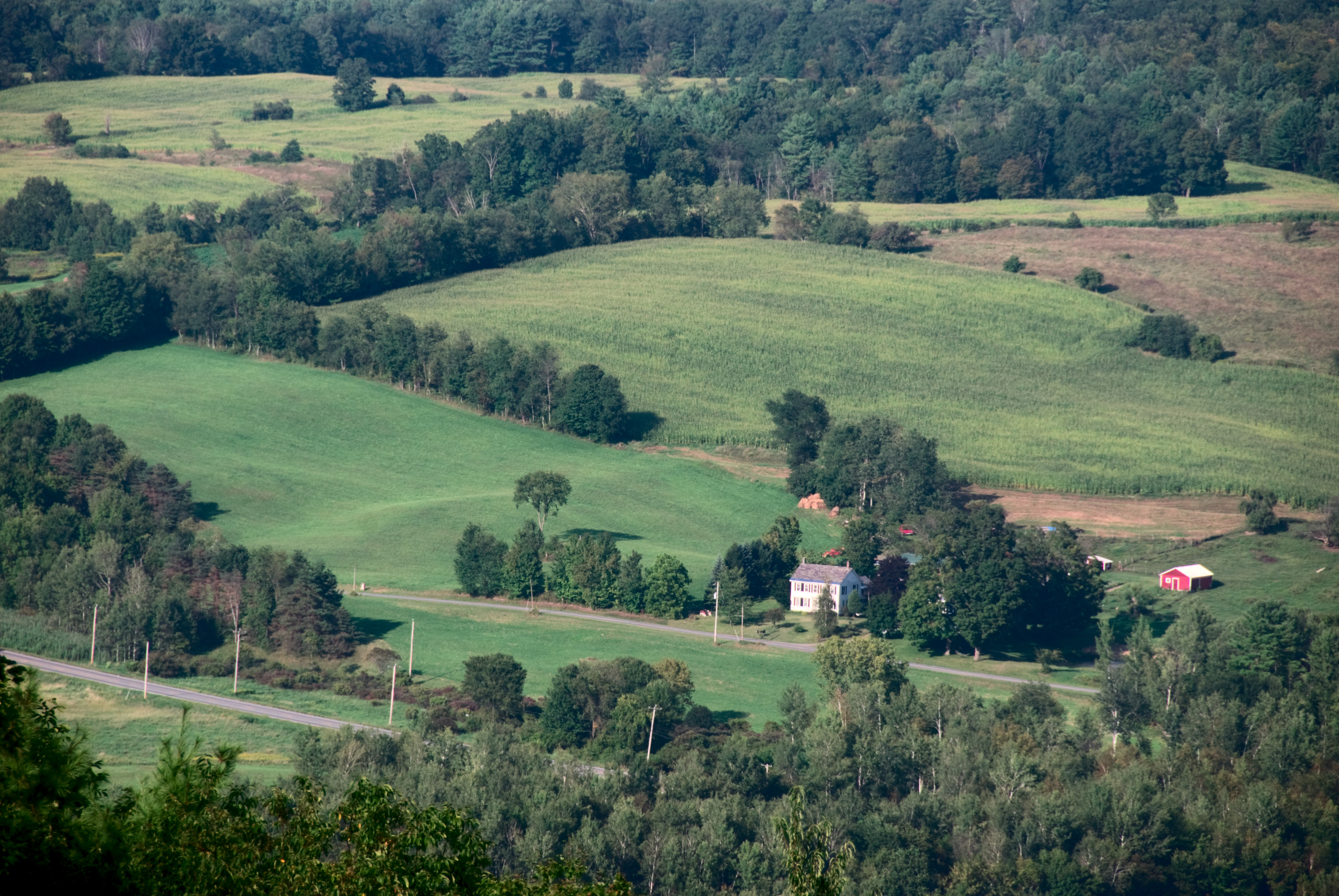
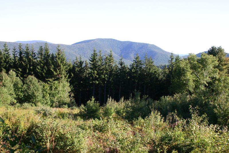
View West from Antone Mountain
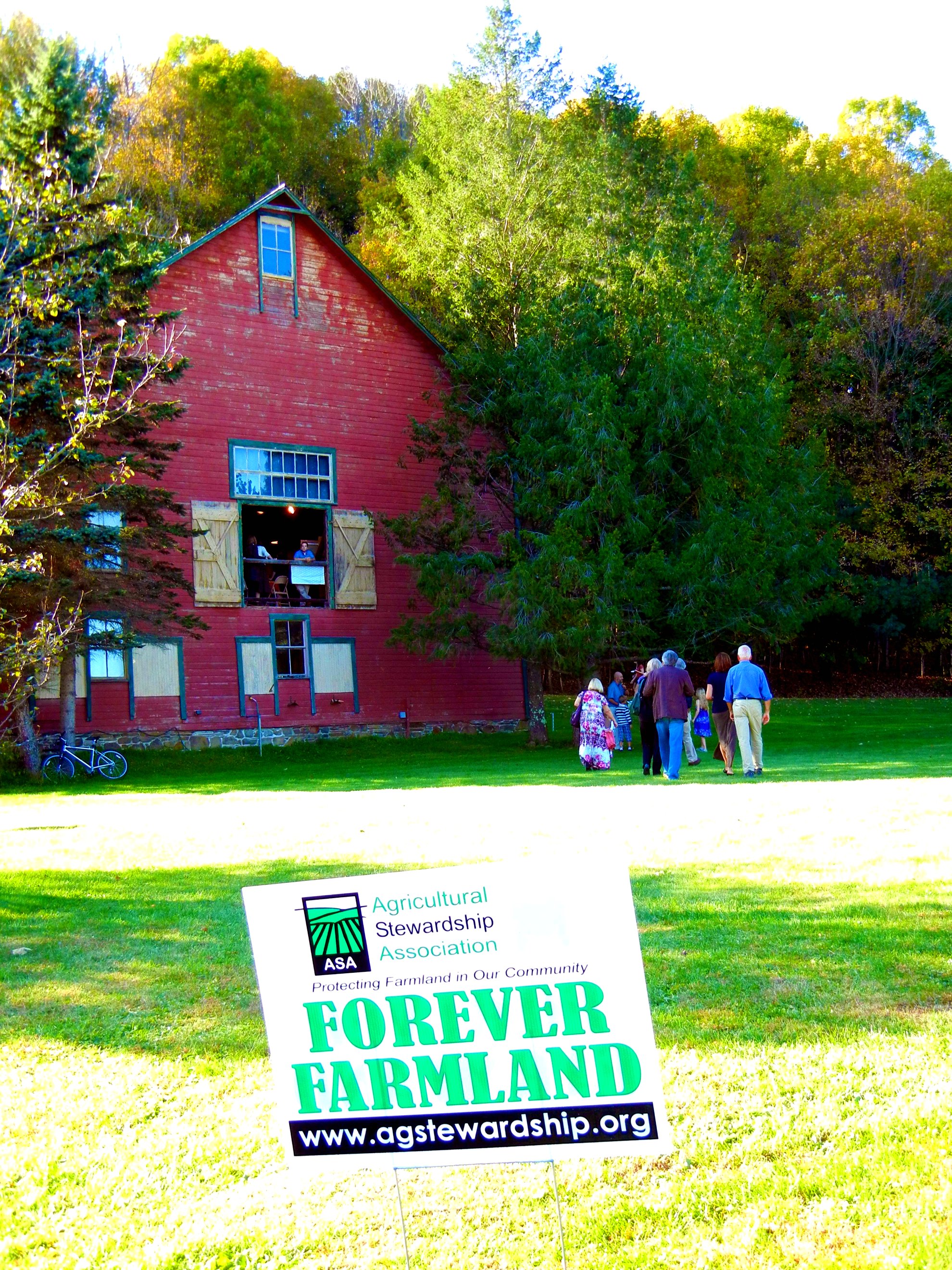
"Landscapes for Landsake" Art Exhibit at Maple Ridge Farm, Coila, NY
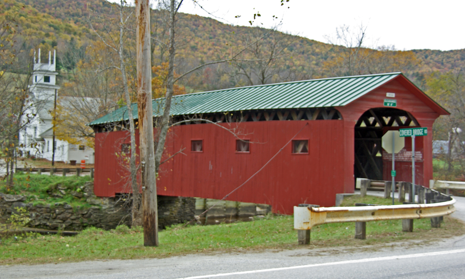
West Arlington Church and Covered Bridge Vermont
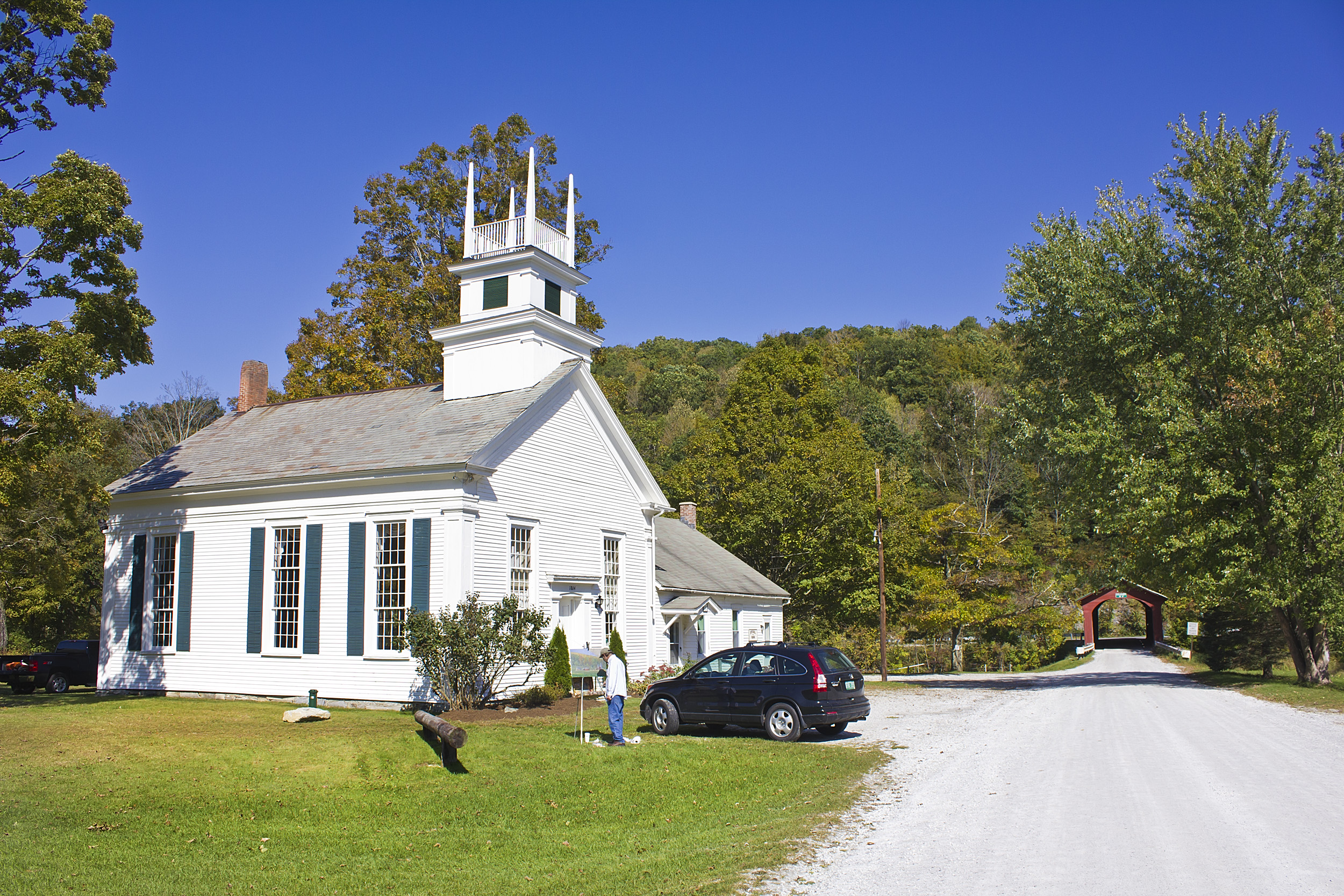
The Chapel on the Green, Arlington VT

View East from Antone Mountain
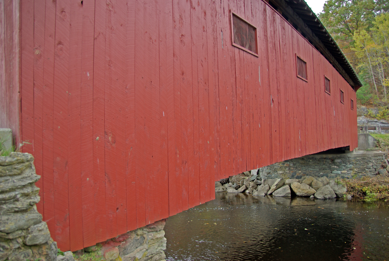
West Arlington Covered Bridge Vermont
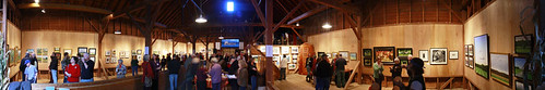
Landscape for Landsake Art Exhibit and Sale

The Chapel on the Green, Arlington VT
View from the Cabin

Looking Back
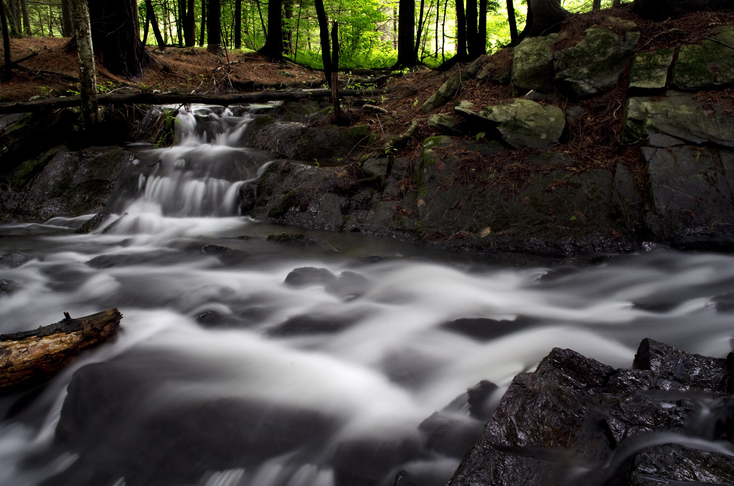
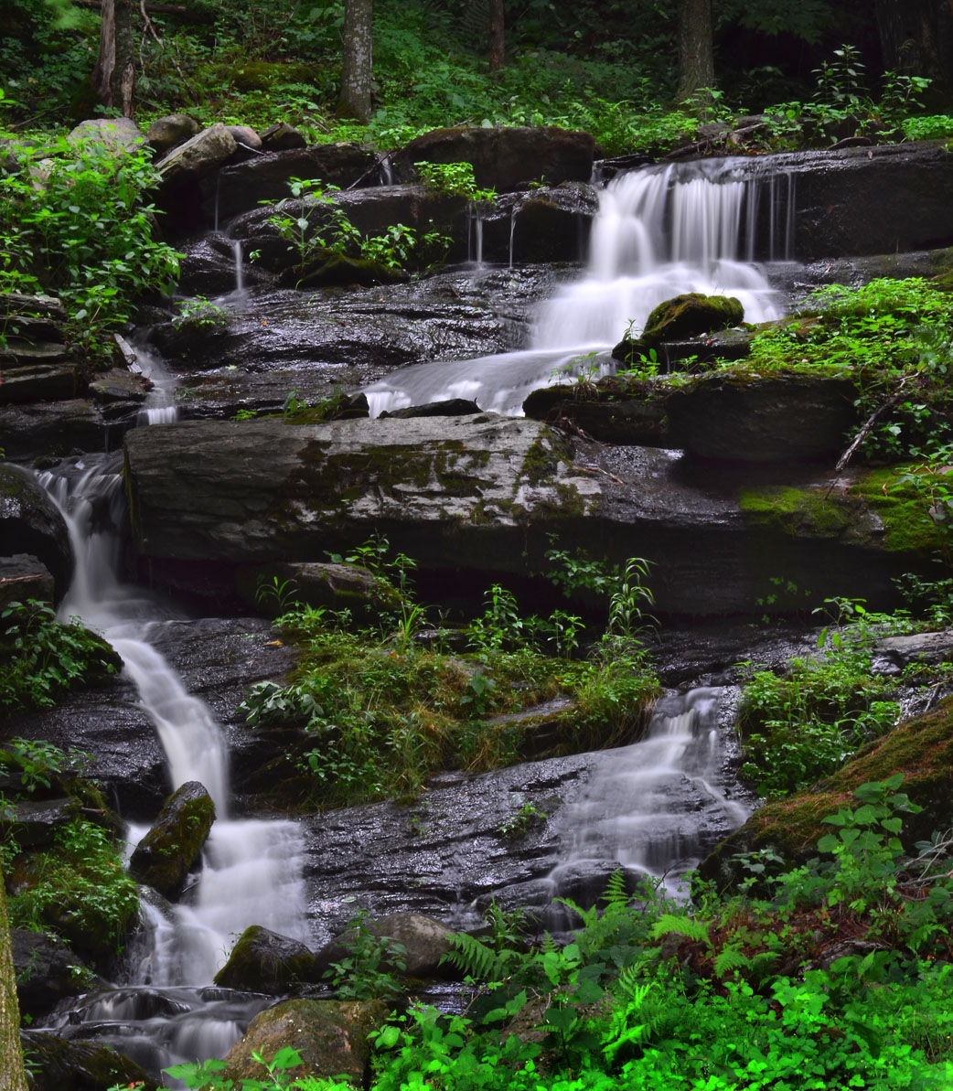
Waterfall East Hebron, NY
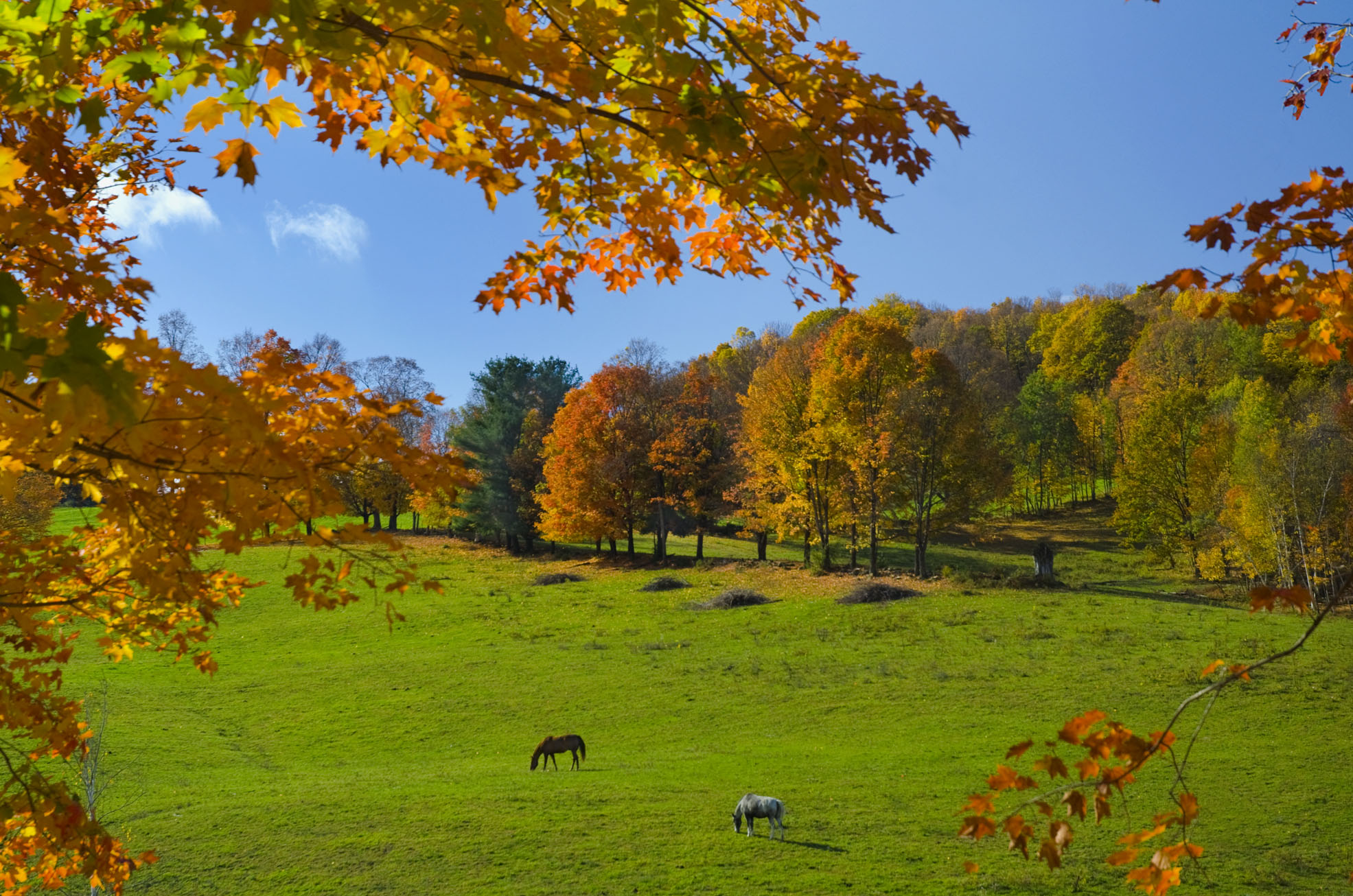
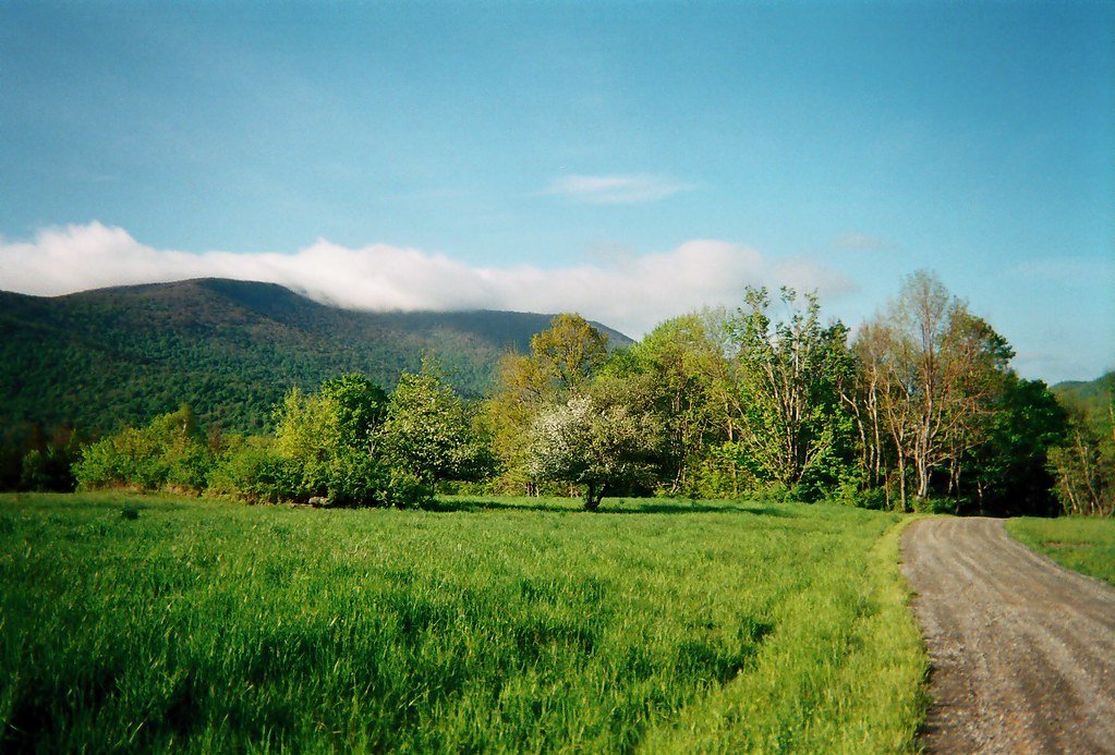
Fall colors and horses in Washington Co., NY

Self-portrait (While wearing a straw hat at Maple Ridge Farm)
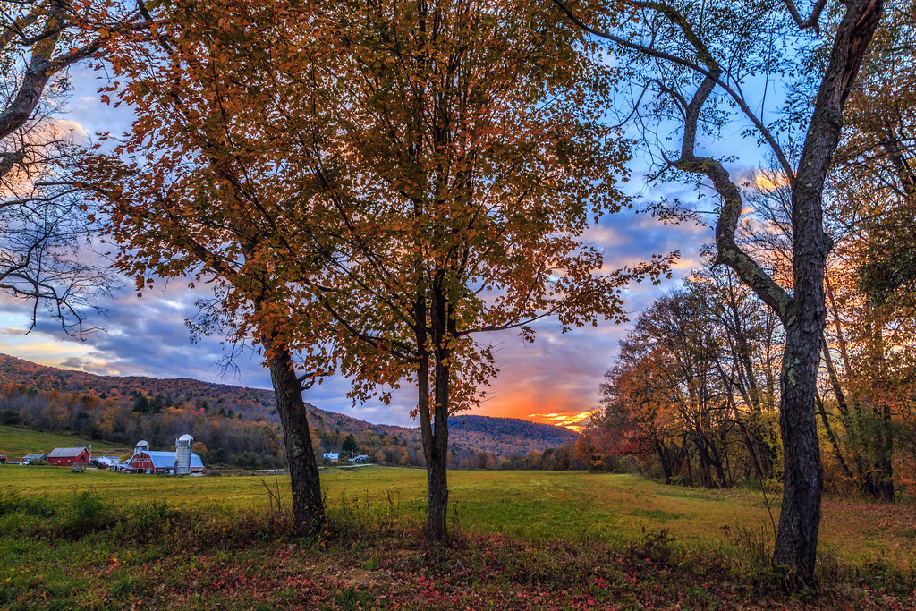
Arlington Sunset
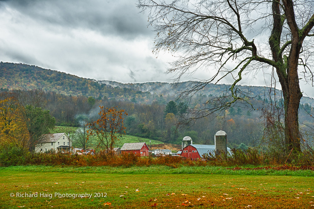
A rainy afternoon on the farm
Spraguetown Falls
Rupert VT

A little peace

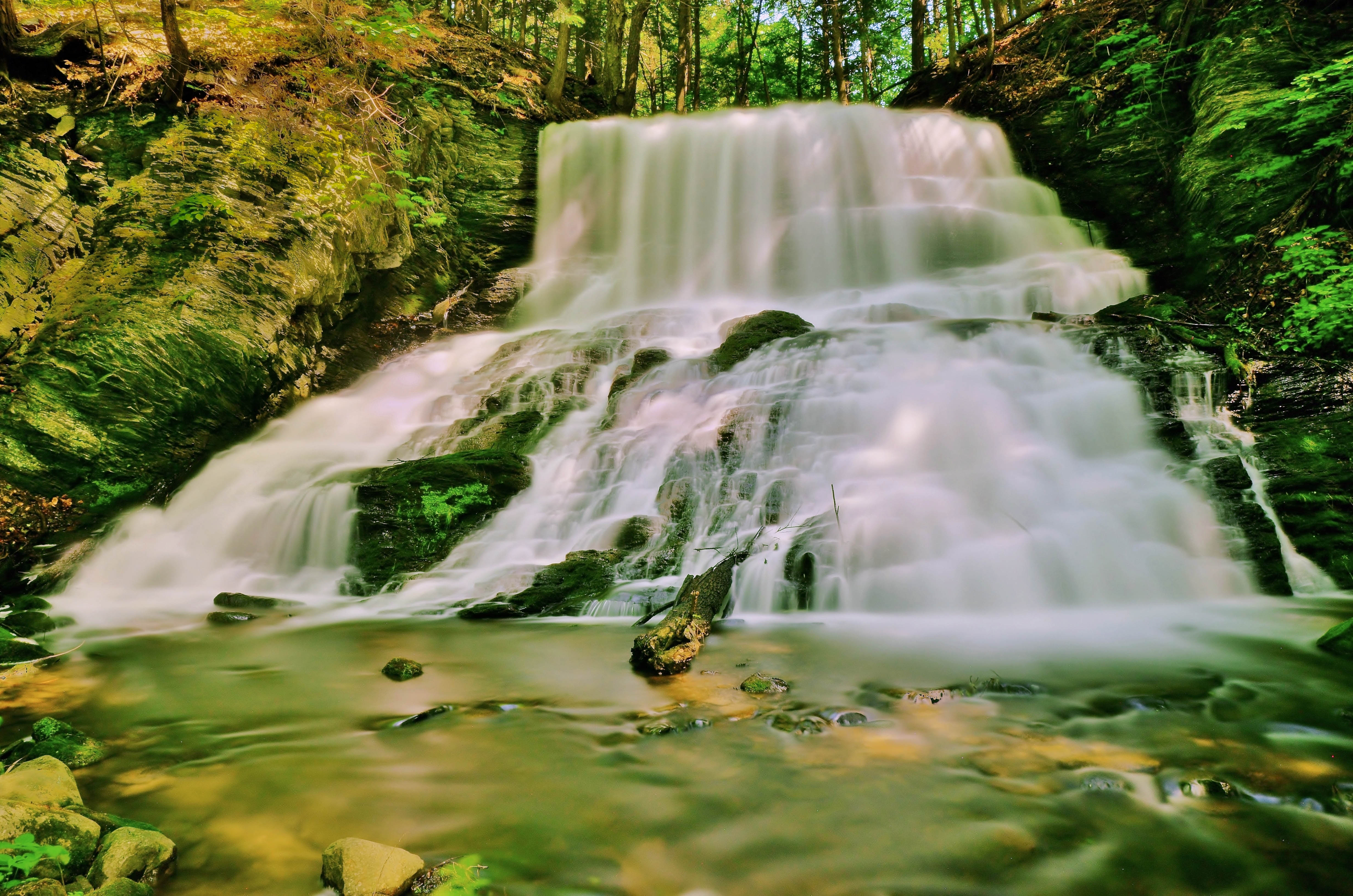
Falls on Battenkill
Argyle,N.Y.

Morning at the family cottage.

Landscapes for Landsake

Great evening...

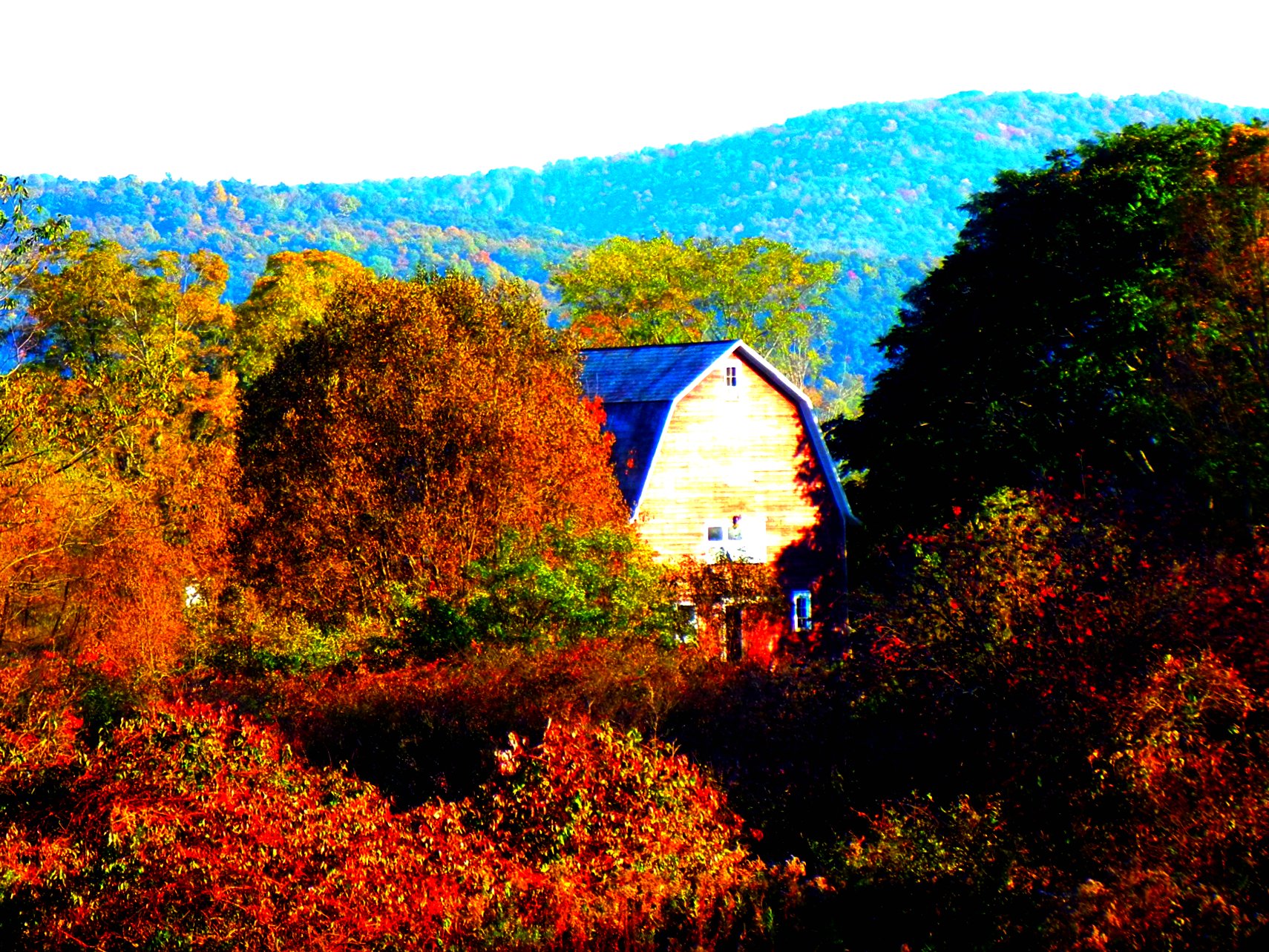
Fall in Washington County 3
Autumn in Coila, Washington County, NY
Coila woods #autumn #indiansummer #october

The hills. I see them rollin'. Washington County Cheese Tour (map: bit.ly/wcct13, try next year). Sweet Spring Farm - Argyle Cheese Farmer - Longview Farm - Sugarloaf Farm is easy (and you end up close to Lake George, boom).
Topographic Map of Salem, NY, USA
Find elevation by address:

Places in Salem, NY, USA:
Places near Salem, NY, USA:
S Main St, Salem, NY, USA
97 W Broadway
37 S Main St
279 Blind Buck Rd
407 Perry Hill Rd
Salem
Rexleigh Rd, Shushan, NY, USA
97 Rexleigh Rd
53 Perry Hill Rd
34 Briansky Ln
12 Briansky Ln
987 Camden Valley Rd
Allen Road
Allen Road
Allen Road
Patterson Hill Rd, Salem, NY, USA
6173 Ny-22
175 Ferguson Ln
390 Eagleville Rd
Shushan
Recent Searches:
- Elevation of Corso Fratelli Cairoli, 35, Macerata MC, Italy
- Elevation of Tallevast Rd, Sarasota, FL, USA
- Elevation of 4th St E, Sonoma, CA, USA
- Elevation of Black Hollow Rd, Pennsdale, PA, USA
- Elevation of Oakland Ave, Williamsport, PA, USA
- Elevation of Pedrógão Grande, Portugal
- Elevation of Klee Dr, Martinsburg, WV, USA
- Elevation of Via Roma, Pieranica CR, Italy
- Elevation of Tavkvetili Mountain, Georgia
- Elevation of Hartfords Bluff Cir, Mt Pleasant, SC, USA