Elevation of 97 W Broadway, Salem, NY, USA

Location: United States > New York > Washington County > Salem > Salem >

Longitude: -73.335885

Latitude: 43.16963

Elevation: 143m / 469feet

Barometric Pressure: 100KPa

Elevation Map:

elevation map of 97 W Broadway, Salem, NY, USA

Satellite Map:

Satellite map of 97 W Broadway, Salem, NY, USA

Related Photos:

18200vr battenville cambridge d80 geo:lat=4308956424 geo:lon=7339236796 geotagged labcfk newyork unitedstates usa
The Front
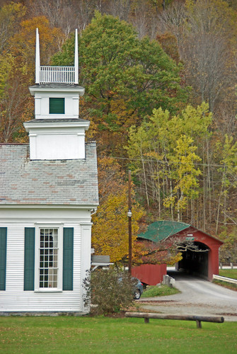
travel autumn usa building fall horizontal architecture landscape vermont seasons outdoor scenic landmarks newengland chapel northamerica serene picturesque woodenbridge coveredbridges greenmountains baptistchurch nationalregisterofhistoricplaces churchsteeple lowangleview battenkillriver historicbridges westarlington buildingexteriors townlatticetruss bridgestructures normanrockwellhome
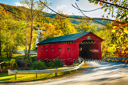
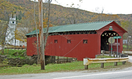
Red Covered Bridge and a Church, Vermont
travel autumn fall church horizontal architecture arlington landscape colorful vermont seasons unitedstates fineart scenic newengland nobody landmark historic foliage coveredbridge northamerica daytime quaint churchsteeple highangleview battenkillriver westarlington buildingexteriors bridgestructures
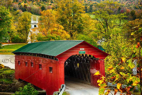
Scenic Covered Bridge of West Arlington
travel autumn fall church vertical architecture landscape colorful vermont seasons fineart scenic newengland nobody landmark historic foliage coveredbridge northamerica daytime quaint churchsteeple highangleview battenkillriver westarlington buildingexteriors bridgestructures
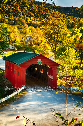
Covered Bridge Fall Scenic, West Arlington, Vermont
bridge red usa white church river vermont newengland steeple coveredbridge battenkill westarlington copyright2009 charleskellogg charlesgkellogg charliekellogg
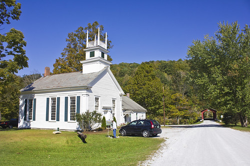
West Arlington Church and Covered Bridge Vermont
cambridge usa newyork geotagged unitedstates 18200vr d80 labc battenville geo:lat=4308956424 geo:lon=7339236796 2013ny5713
Cambridge, NY
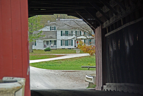
bridge usa river vermont newengland coveredbridge normanrockwell battenkill westarlington copyright2009 innoncoveredbridgegreen charleskellogg charlesgkellogg charliekellogg
Norman Rockwell Home through West Arlington Covered Bridge Vermont
cambridge usa newyork geotagged unitedstates 18200vr d80 battenville labcfk geo:lat=4308956424 geo:lon=7339236796 2013ny5718
Ah Summer
autumn art october gallery artexhibit washingtoncountyny mapleridgefarm landscapesforlandsake coilany
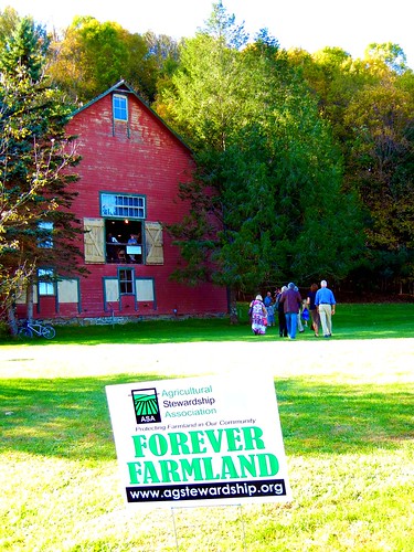
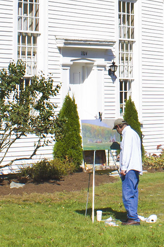
"Landscapes for Landsake" Art Exhibit at Maple Ridge Farm, Coila, NY
bridge red usa church river vermont newengland steeple coveredbridge battenkill westarlington copyright2009 charleskellogg charlesgkellogg charliekellogg
West Arlington Church and Covered Bridge Vermont
green church inn vermont chapel norman rockwell methodist battenkill
The Chapel on the Green, Arlington VT
bridge red usa river vermont newengland coveredbridge battenkill westarlington copyright2009 charleskellogg charlesgkellogg charliekellogg
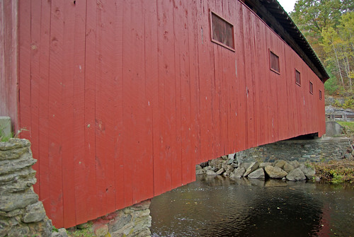
West Arlington Covered Bridge Vermont
Landscape for Landsake Art Exhibit and Sale
green church inn vermont chapel norman rockwell methodist battenkill
The Chapel on the Green, Arlington VT
mountain mountains exploration
Looking Back
flowers macro nature
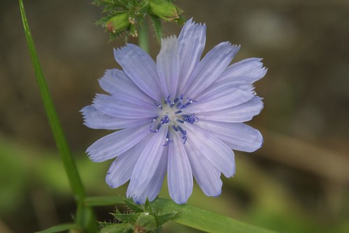
curly-cue stamens
art gallery paintings artists salemny washingtoncountyny salemartworks makerspaces
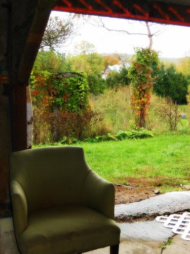
View out the back, Barn 2 Gallery
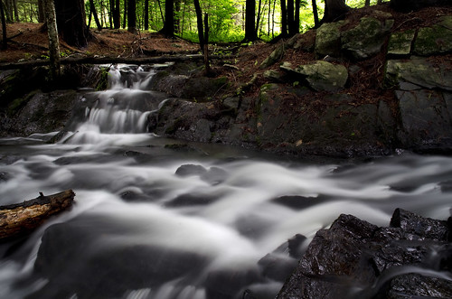
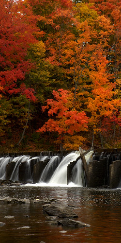
Waterfall East Hebron, NY
day clear pwfall
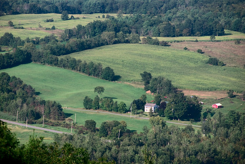
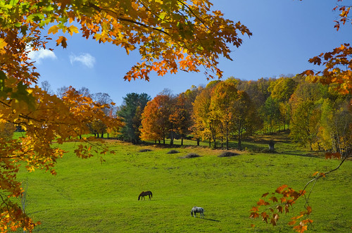
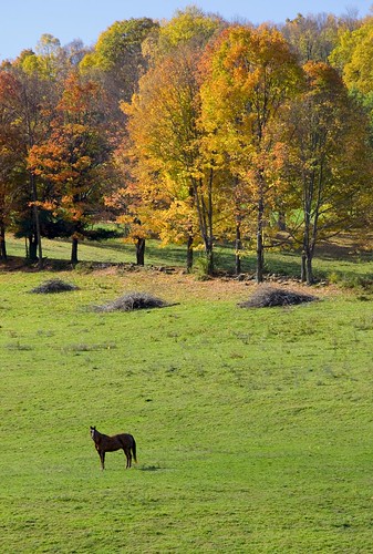
Fall colors and horses in Washington Co., NY
light selfportrait newyork barn gallery shadows upstate asa mapleridge barnwood washingtoncounty coila landscapesforlandsake agiculturalstewardshipassociation
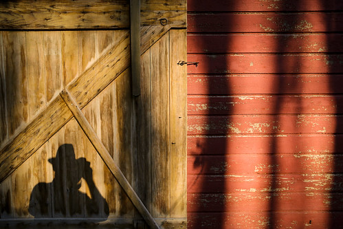
Self-portrait (While wearing a straw hat at Maple Ridge Farm)
trees sunset arlington vermont farm newengland vt canonef24105mmf4lisusm canoneos6d samanthadecker adobephotoshopcs6
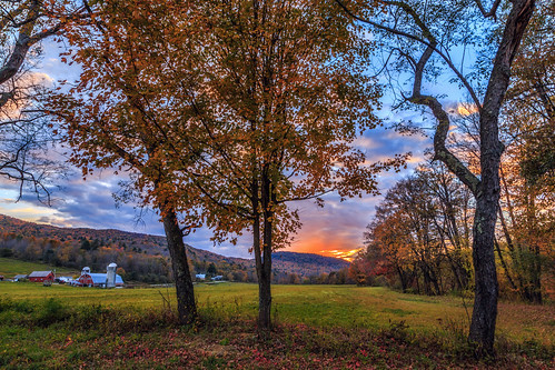
Arlington Sunset
rain vermont farm vt autumncolor nikond800 nikonnikkor24120mmf4lens
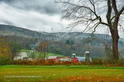
A rainy afternoon on the farm
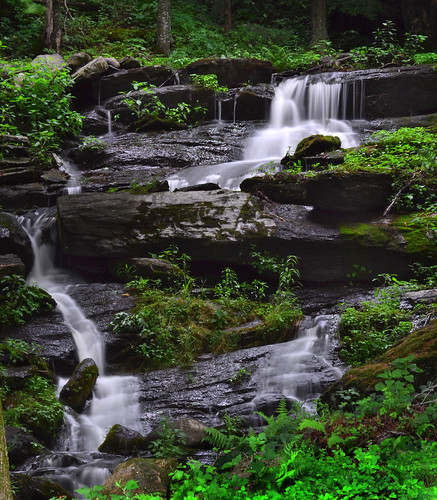
Spraguetown Falls
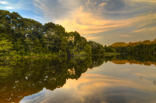
trees water reflections rivers streams battenkill
Park 1
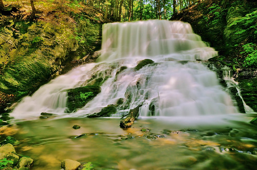
nature water leaves landscapes woods rocks waterfalls cascades streams hdr slowmotion longexposer
Argyle,N.Y.
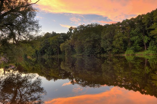
trees water reflections rivers streams battenkill
park 5
Falls on Battenkill
art love peace compassion benefit asa batik landscapesforlandsake
A little peace
cambridge newyork upstate exhibition asa artshow fundraiser mapleridge landtrust washingtoncounty coila foreverfarmland landscapesforlandsake agriculturalstewardshipassociation
Landscapes for Landsake
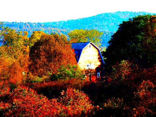
Fall in Washington County 3
Cola Field HDR
square squareformat iphoneography instagramapp uploaded:by=instagram
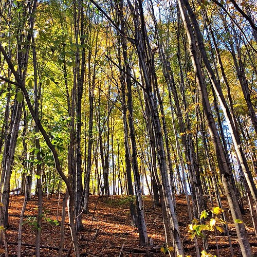
Coila woods #autumn #indiansummer #october
valencia square squareformat iphoneography instagramapp uploaded:by=instagram foursquare:venue=4d45a86114aa8cfa6f9e743d
The hills. I see them rollin'. Washington County Cheese Tour (map: bit.ly/wcct13, try next year). Sweet Spring Farm - Argyle Cheese Farmer - Longview Farm - Sugarloaf Farm is easy (and you end up close to Lake George, boom).
autumn art october gallery artexhibit washingtoncountyny mapleridgefarm landscapesforlandsake coilany
Autumn in Coila, Washington County, NY